
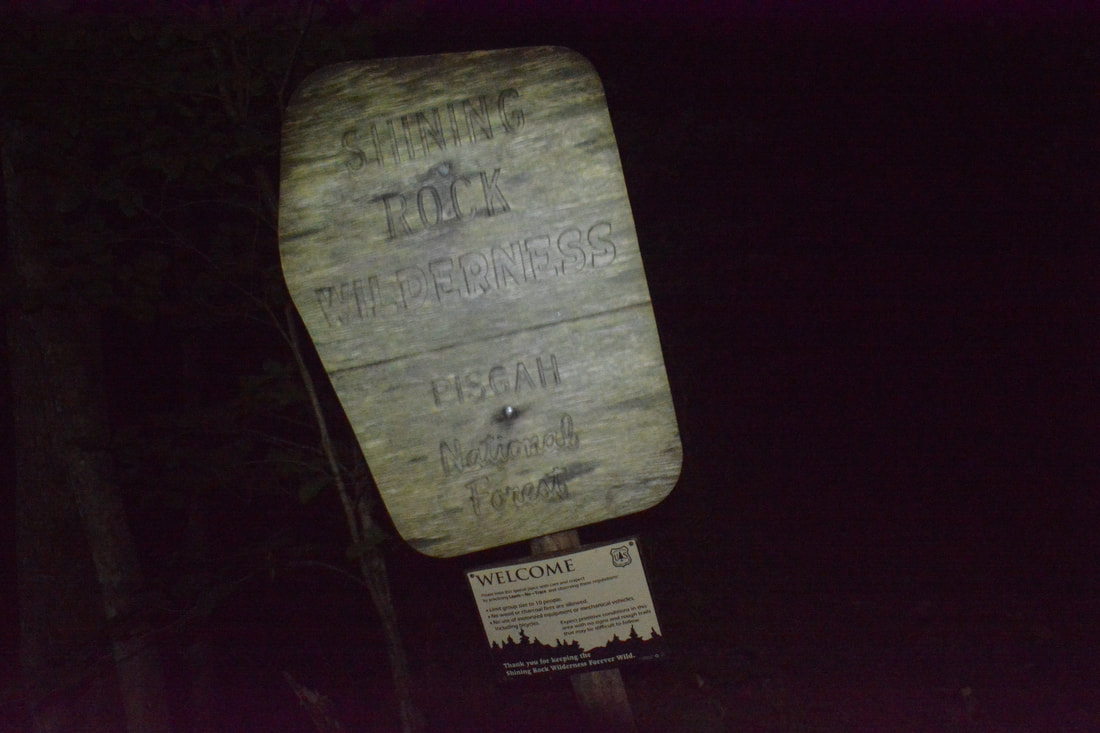
The Shining Rock Wilderness is Southwest North Carolina's high country - an area crowned by numerous 6000-foot peaks with stunning mountain views. Deep in the Little East Fork Pigeon River valley is the Daniel Boone Scout Camp, a convenient entry point to the Shining Rock Wilderness near its northern end. Two trails, Little East Fork Trail and Art Loeb Trail, leave the camp and make for a long, scenic loop visiting a number of the wilderness's highlights in its north sector. Climbing steeply out of the valley, the Art Loeb Trail's first stop is Deep Gap, where a 1.5-mile side trail leads to several panoramic overlooks atop Cold Mountain. The Art Loeb then embarks on an exciting journey through The Narrows, where a series of ups and downs along a knife-edge ridge take you past two great views and numerous rock outcrops. After a gradual climb up Stairs Mountain through gorgeous mossy spruce-fir forest, the Art Loeb approaches the wilderness's center point: Shining Rock. Featuring its own panoramic views, Shining Rock is a huge outcropping of brilliant white quartz amidst a sea of evergreen. Backpackers will find Shining Rock to be a great sunset-viewing location. Your exit route from the wilderness is the Little East Fork Trail, which descends an old roadbed along the countless pleasant cascades of Little East Fork's scenic run. This hike occurred on Saturday, June 9th, 2018. My plan was to hike the Scout Camp Loop clockwise, first hiking the Art Loeb Trail and then Little East Fork Trail. Along the way, I took side trips to Cold Mountain and Shining Rock.
Summary
R/T Length of Trail: 16.0 Miles
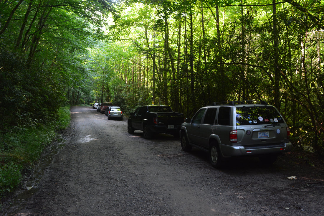
Duration of Hike: 9:30 plus 2.5 hours of stopping and photography Type of Hike: Loop with Spurs Difficulty Rating: 10 out of 10 Total Elevation Gain: 4382 Feet Pros: Fantastic views; lots of relatively remote wilderness trail; most ascents aren't worse than moderate Cons: None Points of Interest: Cold Mountain Views - 10 stars collectively; The Narrows Views - 9 stars collectively; Shining Rock View - 9 stars Trail Blaze Colors: None, trails in the Shining Rock Wilderness are unblazed Best Seasons to Hike: Summer Fees: None Beginning Point: Daniel Boone Scout Camp Trailhead Directions from Waynesville, NC: From the intersection of US 276 (Pigeon Street) and US 23 Business (Main Street) in downtown Waynesville, follow US 276 South for 6.3 miles. Then, turn right onto NC 215 South, and continue for 5.1 miles to Little East Fork Road. Make a sharp left, and follow Little East Fork Road for 3.3 miles to the Daniel Boone Scout Camp entrance. Continue straight onto the unpaved road into the camp, and follow it for 0.5 miles to the Cold Mountain trailhead. A kiosk and sign are on the left, and a long, narrow parking area lines the road on the right. Map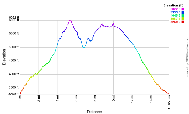
Click the link below to download a .GPX file with a track of this hike.
Details
All throughout the spring of 2018, I'd been exploring waterfalls due to constant rainfall and high water levels - in other words, prime conditions for seeing waterfalls. That's why, by June, I felt that it was time for a grand vista hike. The first place that came to mind was the Shining Rock Wilderness - this area has numerous views that count as among the best of North Carolina! I'd already been to some of the easier views like Black Balsam Knob, Tennent Mountain, and Sam Knob, so on this trip, my goal was to hike a relatively more remote section of the wilderness near its north end. My difficult route along the so-called "Scout Camp Loop" encompassed three excellent vista points: Cold Mountain, The Narrows, and Shining Rock.
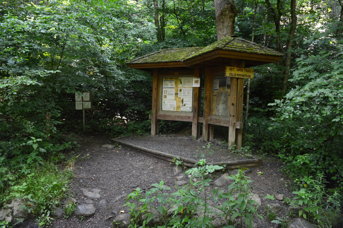
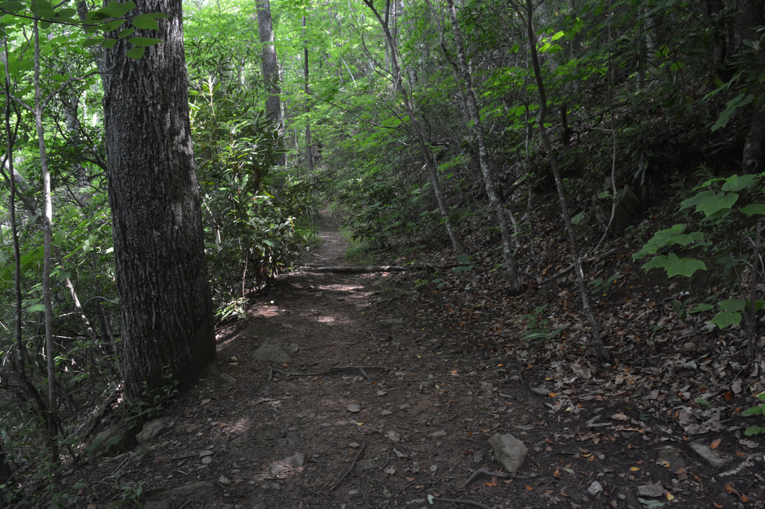
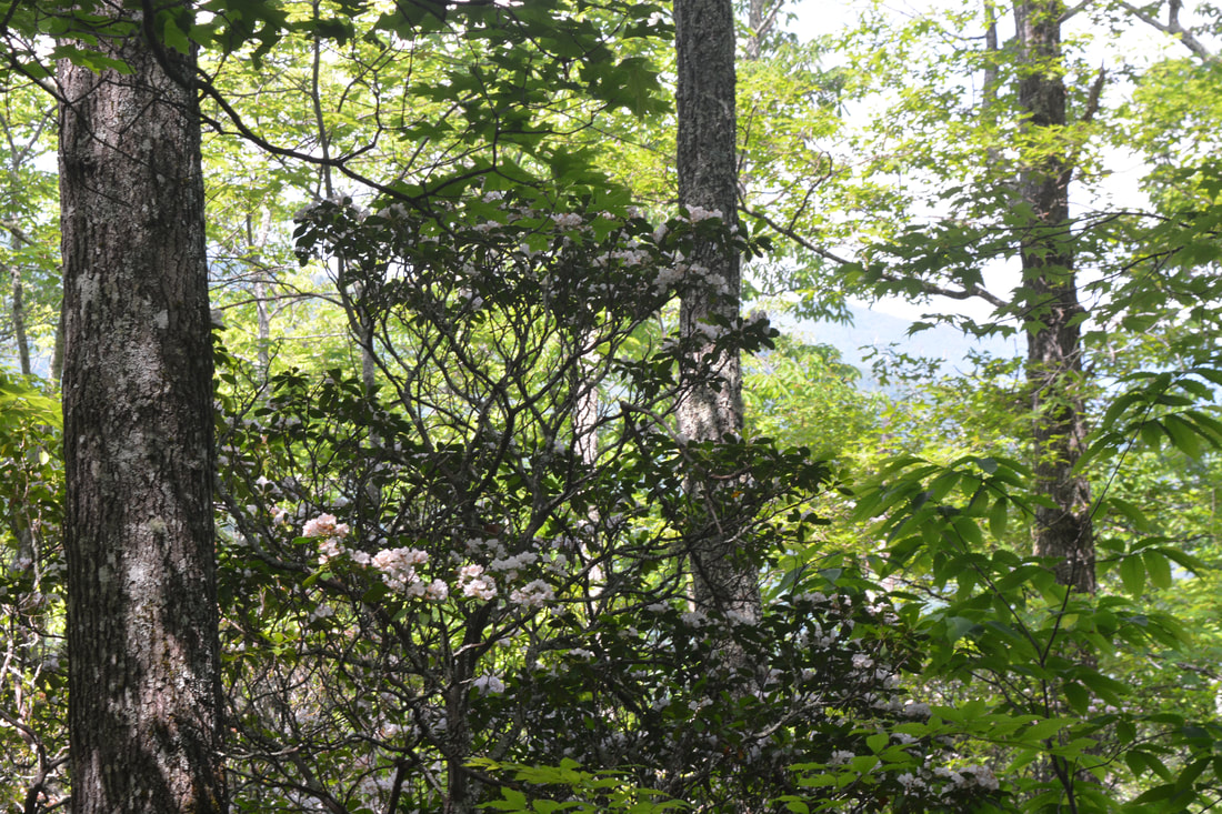
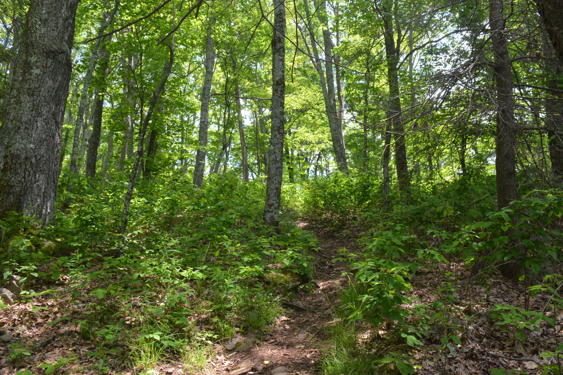
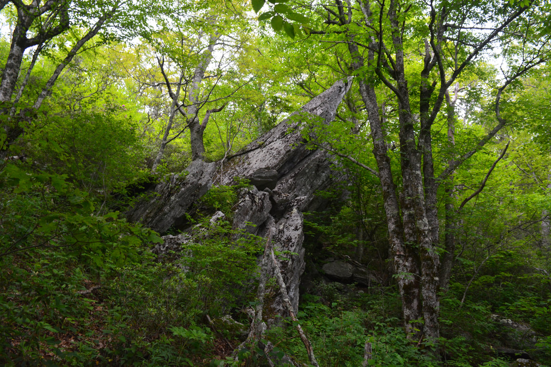
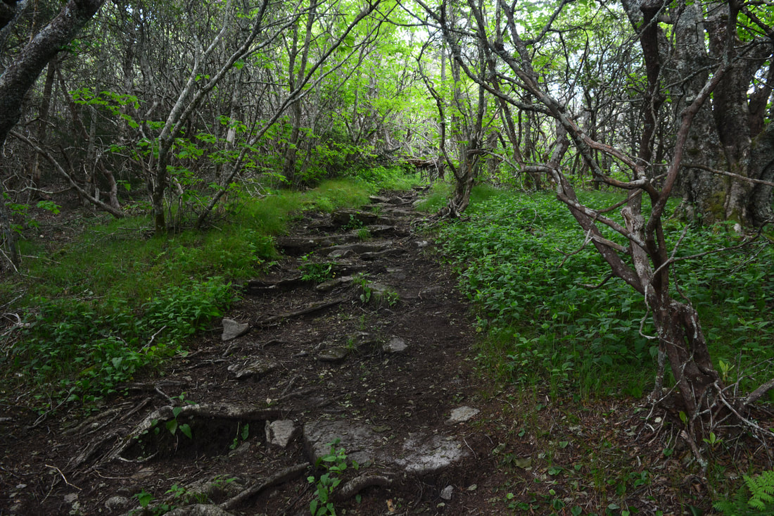
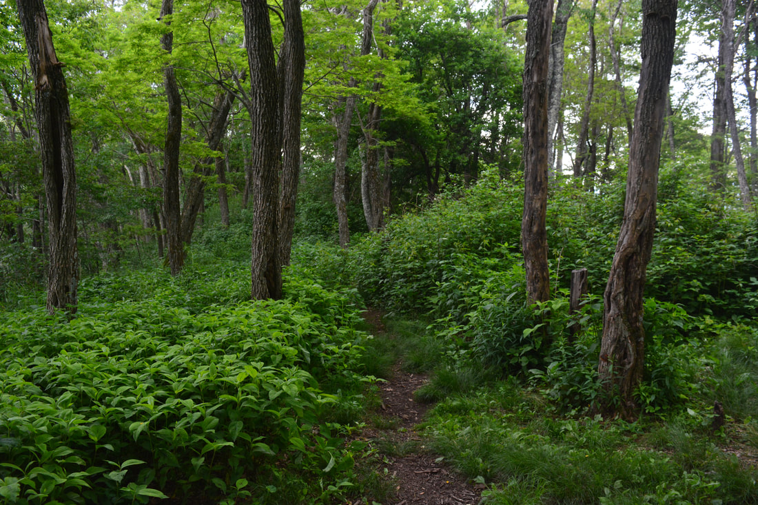
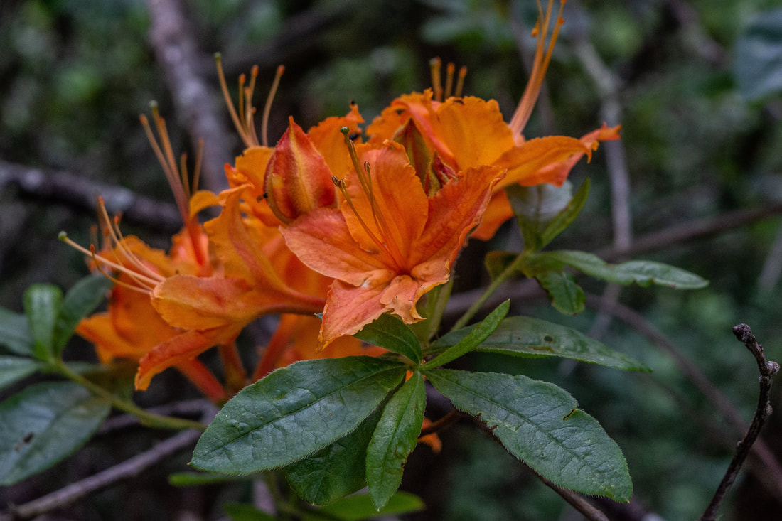
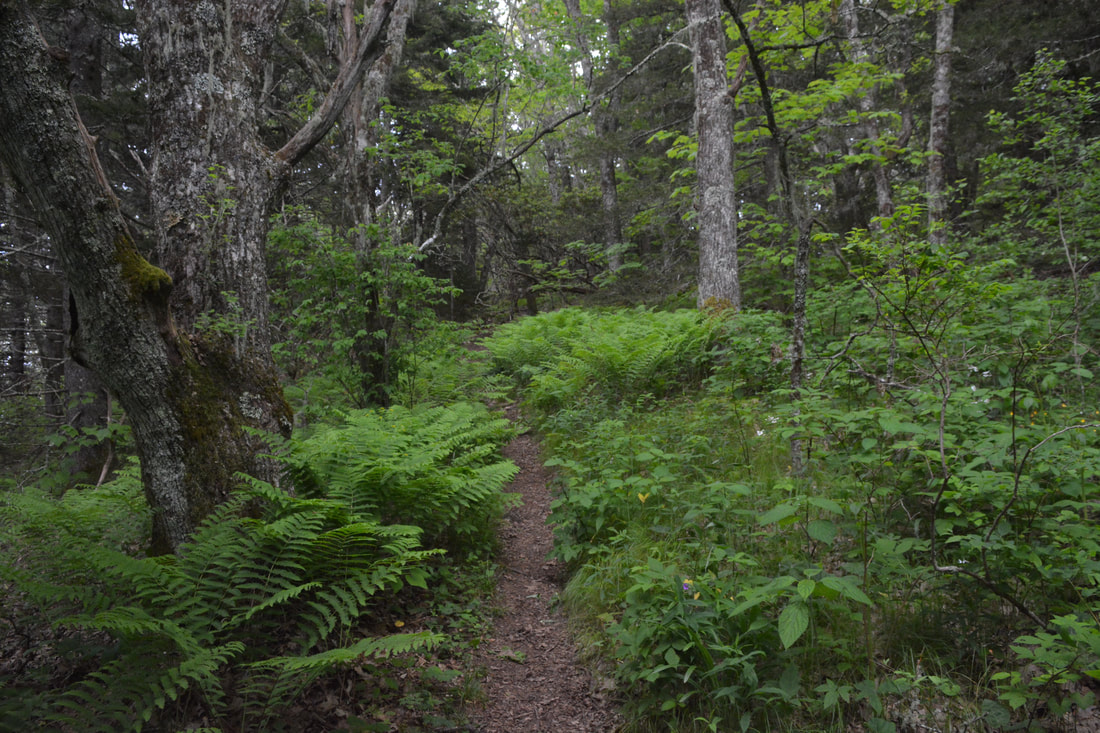
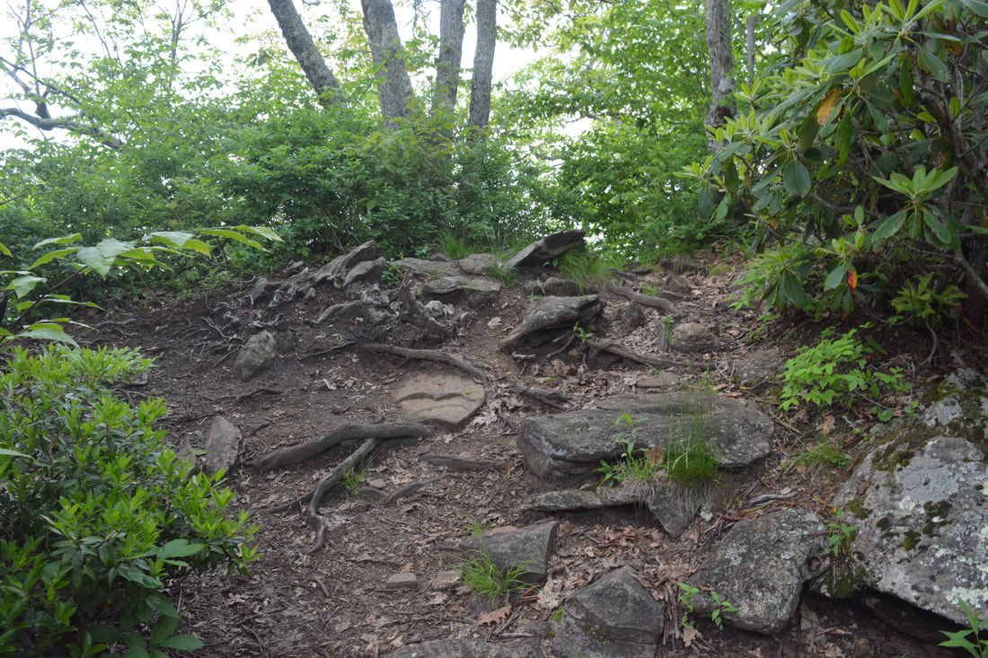
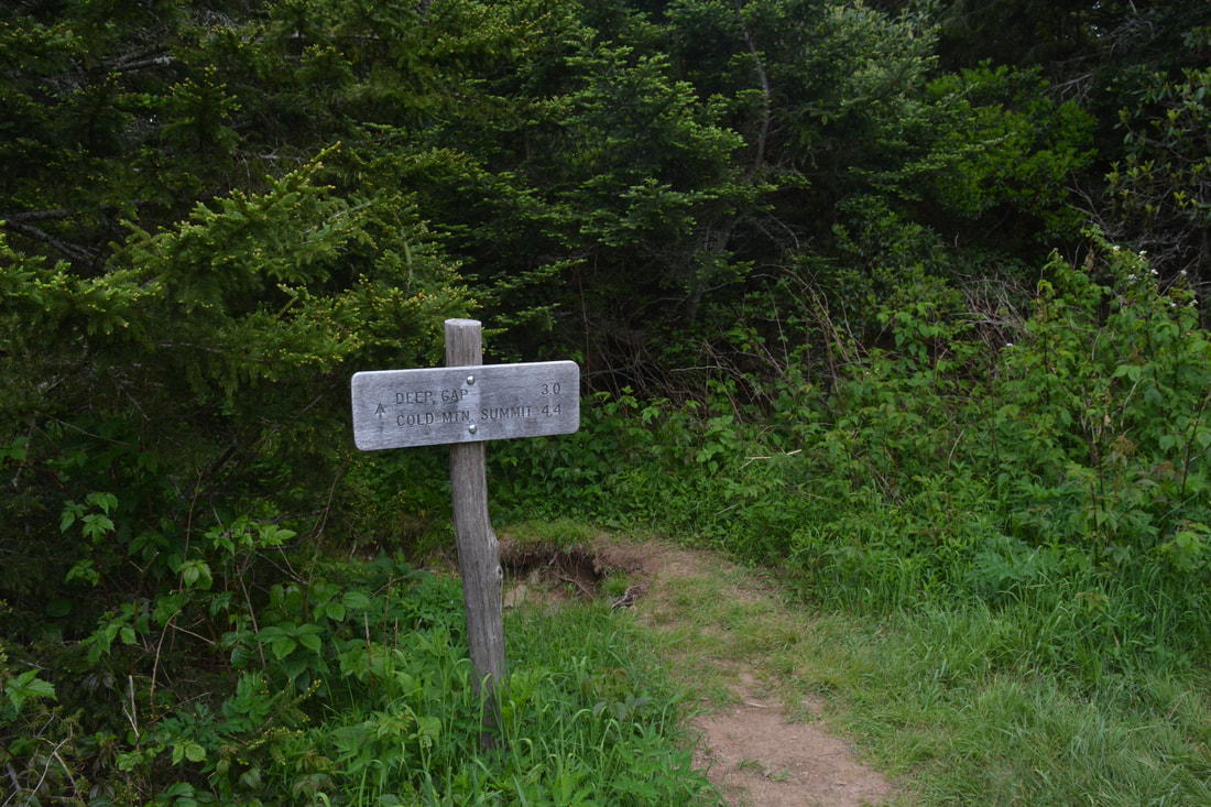
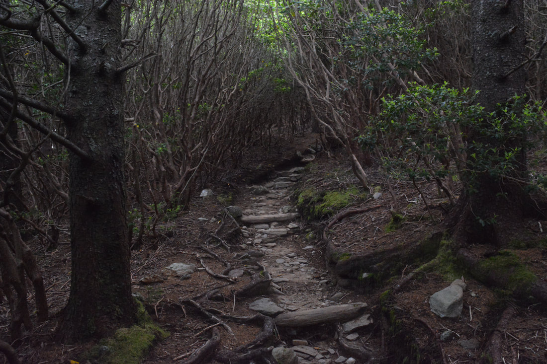
Following the loop clockwise, your hike begins along the Art Loeb Trail by a large kiosk with a sign for Cold Mountain near the parking area. The trail wastes no time in promptly beginning a moderate descent along a rocky treadway through lush woods. At 1.05 miles, after 550 feet of elevation gain, the trail meets an old logging road. This marks the start of an easier section. The trail shortly returns to single-track path and swings to the north side of a prominent lead connecting to Stairs Mountain. A slight descent brings the trail to a rock hop of a Sorrell Creek tributary at 2.0 miles. The Art Loeb Trail continues only a gradual ascent as it largely contours along the slopes well below The Narrows for the next 3/4 mile. Around 2.8 miles, the grade steepens a notch as the trail continues its relentless climb toward Deep Gap. If you're hiking this trail during the warm season though, the surrounding forest will hold your interest during the climb, as the wilderness woods are as lush, green, and lovely as they get. Finally, reach the campsite flats of Deep Gap at 3.9 miles, a welcome breather after one last sharp pitch. You've climbed 1,730 feet. Here, you have a decision to make. You could turn right and continue the Scout Camp Loop, heading straight into The Narrows, or you could make a diversion to Cold Mountain too. I highly recommend Cold Mountain - it's home to one of the more spectacular views in this region of North Carolina - but you do need to be mindful of difficulty. The Scout Camp Loop is already a tough day hike, whereas the Cold Mountain side trip adds on three miles roundtrip, along with over 1,000 feet of elevation gain, much of it extremely steep. Assuming you do choose to include Cold Mountain, turn left. The initial ascent straight up the nose of the ridge is a harbinger. After rising through corridors of Catawba rhododendron and flame azalea, the trail finds a brief level spot at 4.25 miles, where an opening in the trees provides a fleeting view of Cold Mountain's looming summit straight ahead. Another exceedingly steep scramble follows, before the Cold Mountain Trail mercifully swings off the ridge at 4.55 miles and becomes graded more reasonably. Pass a jagged house-sized boulder rising like a spire toward the canopy on the right around 4.75 miles. At a gap at 4.95 miles, the trail makes an abrupt sharp turn, beginning a final, moderate climb to the summit. As it approaches the 6,000-foot line, the trail climbs through delightful grassy slopes under a canopy of mountain laurel. Pass a series of nice campsites on the left at 5.1 miles. The trail reaches the first of three views on Cold Mountain at 5.3 miles. This is a really nice teaser view, but I suggest to stop longer at the second view, which is on a short side path on the right just 200 feet farther. 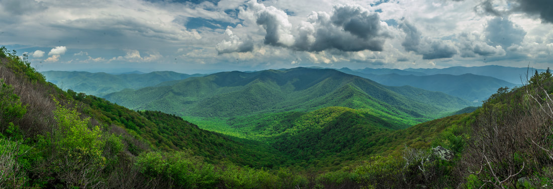
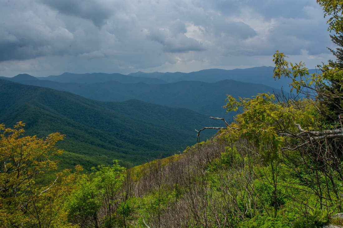
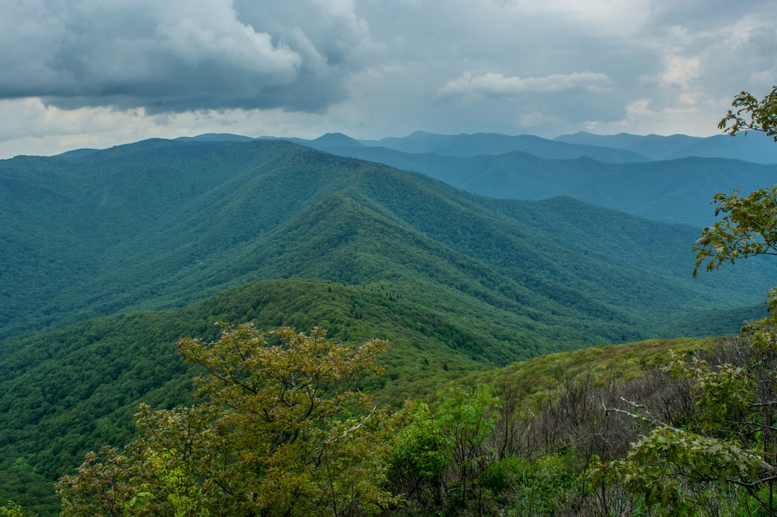
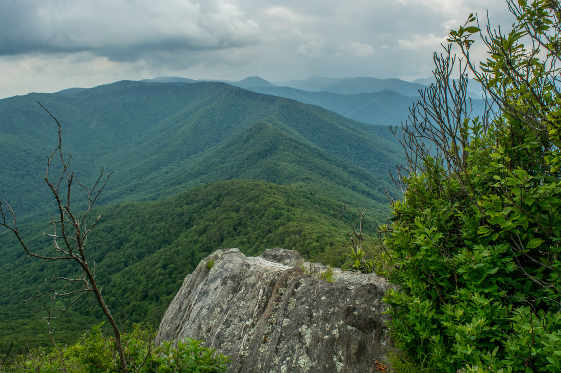
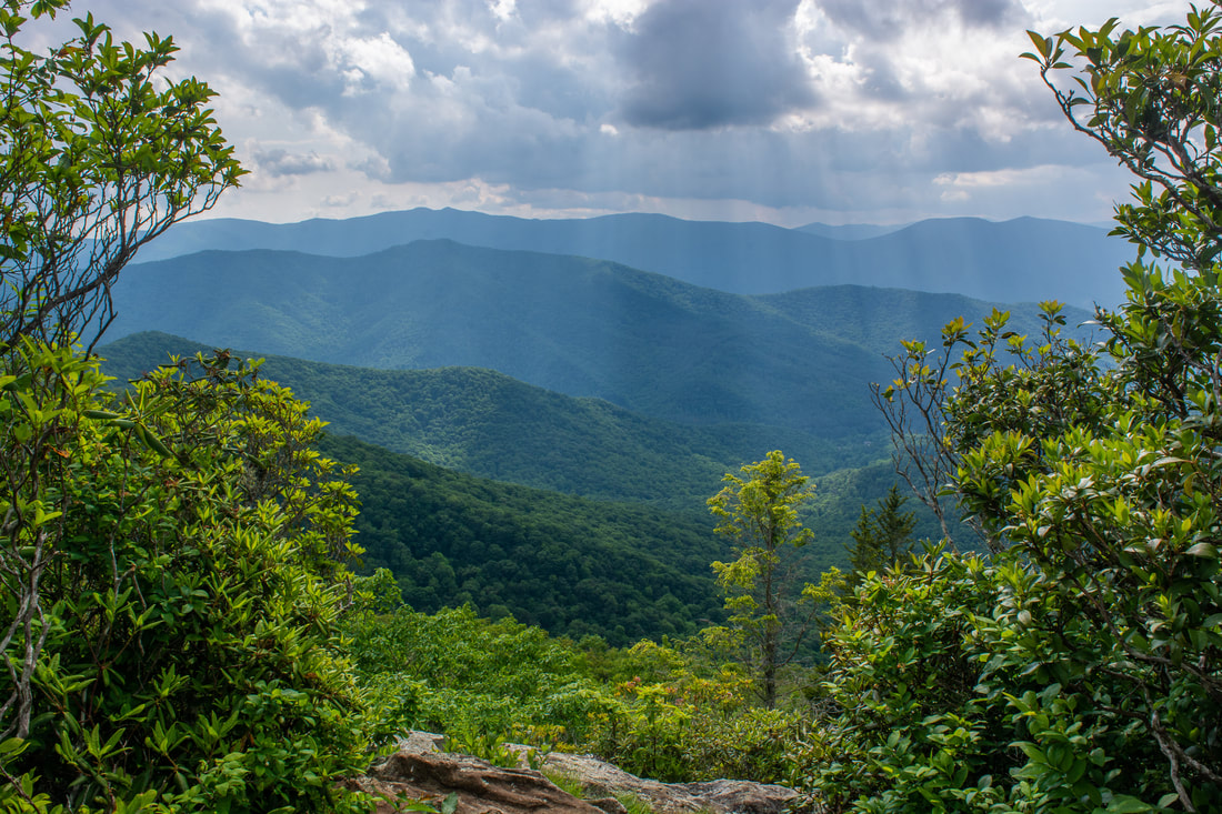
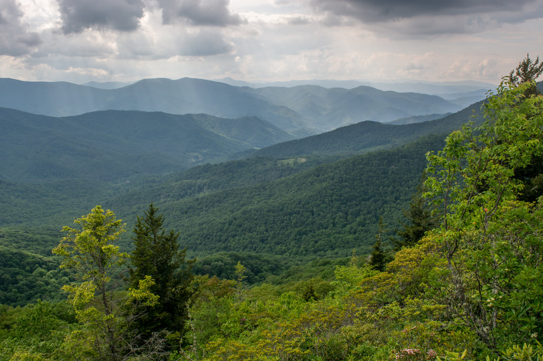
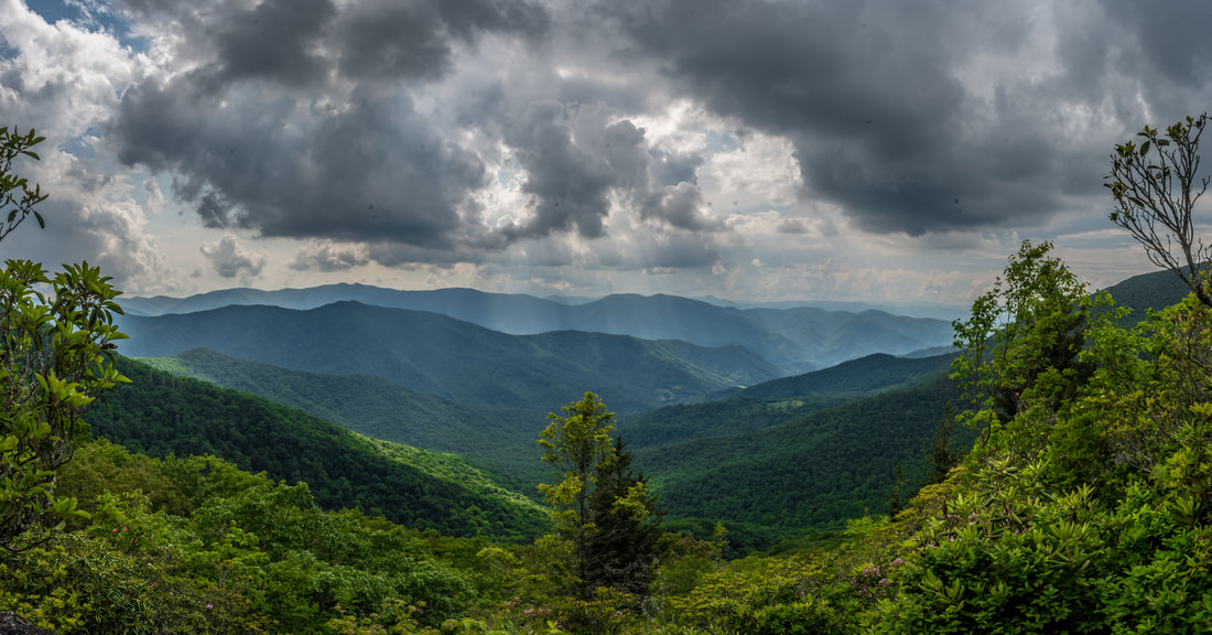
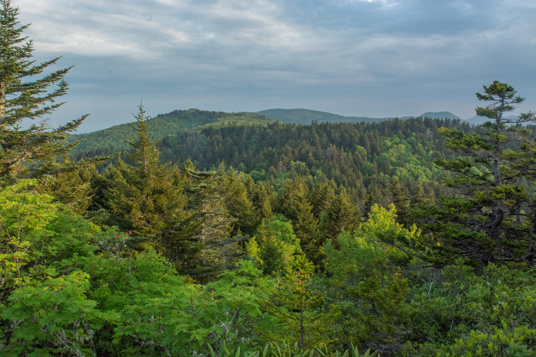
Cliffs near the summit of Cold Mountain provide incredible panoramic views of the Shining Rock Wilderness.
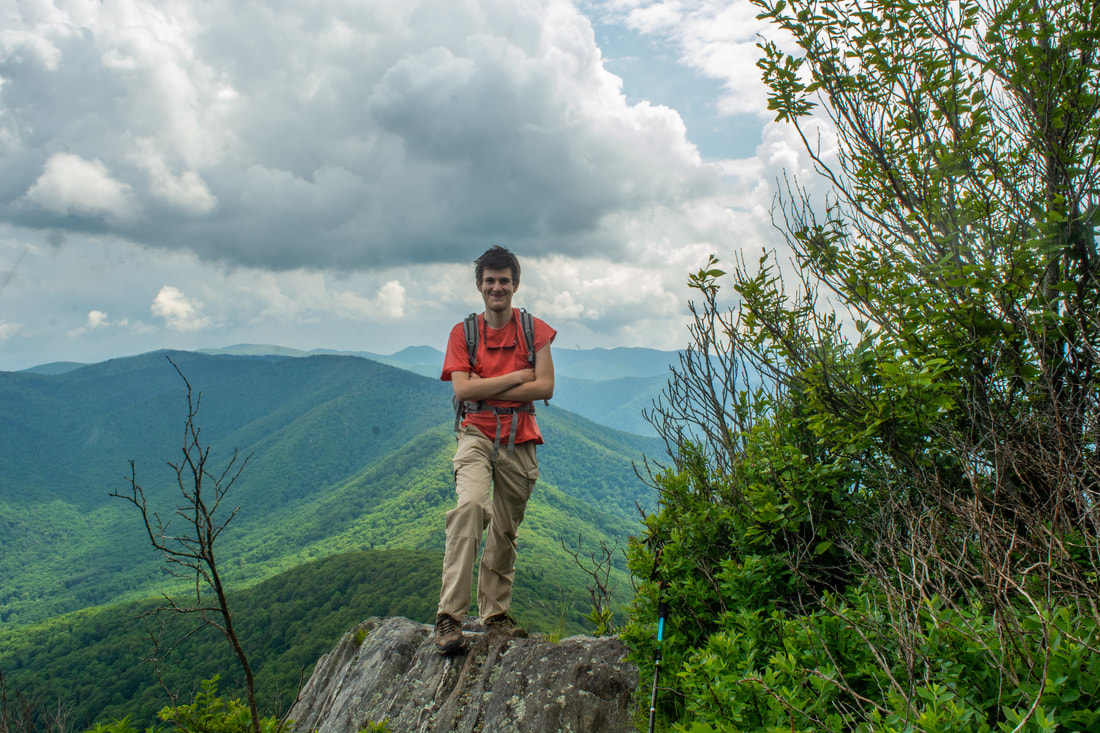
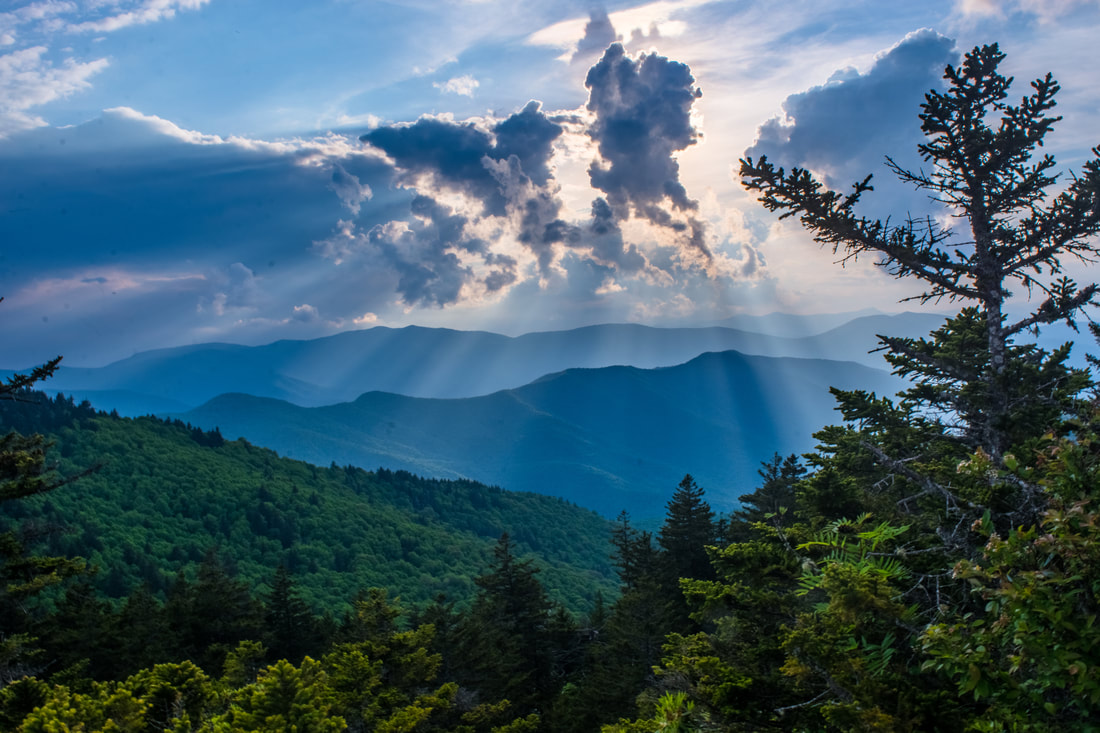
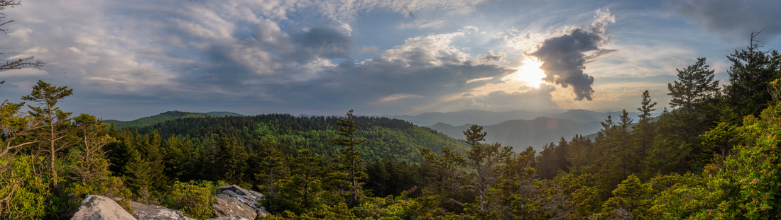
This small, sheer cliff affords a stunning 180-degree panorama southward. The many famous landmarks of the Shining Rock Wilderness are easily identifiable. Straight ahead, a prominent knife-edge ridge - The Narrows - makes a steady, stairstep climb to the imposing mass of Stairs Mountain. Indeed, you guessed it - this is exactly where you're headed next; in fact, the entire route to Shining Rock Mountain is laid out as if on a map. The pointed top of Shining Rock Mountain sticks out just barely above Stairs Mountain. Even farther rises the bald silhouette of Tennent Mountain; the unmistakable twin peaks of Sam Knob are just to the right. On a clearer day, you will be able to see many more distant peaks to the left within the Pisgah District. This is definitely a spot to linger, for views like this just don't come by often in the Southern Appalachians, and you have worked for it. Before leaving Cold Mountain, follow the trail a little farther over a few rock outcrops to the actual 6,030-foot summit at 5.4 miles. Congratulations - you just bagged another SB6K peak! A small outcrop provides the third and final view, but it's nearly identical to the second vista with just a more limited viewing range.
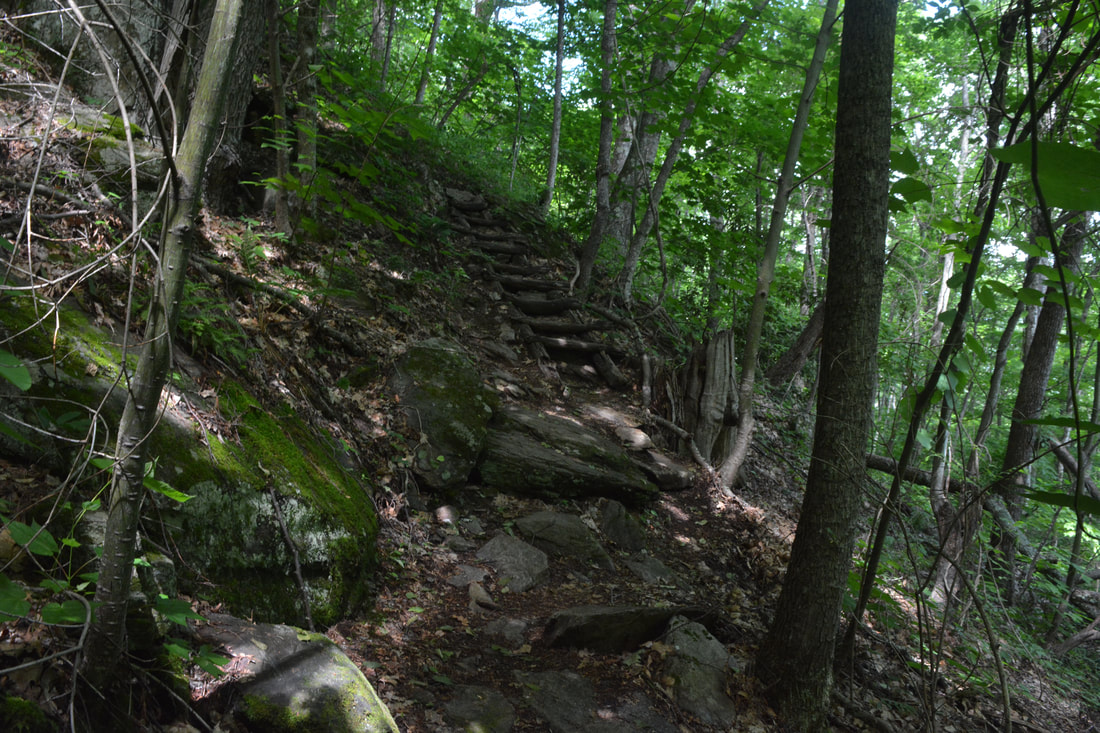
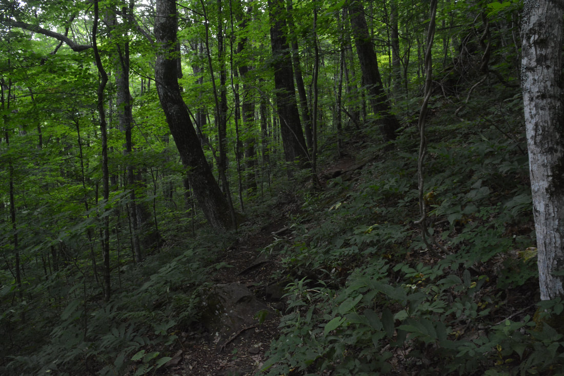
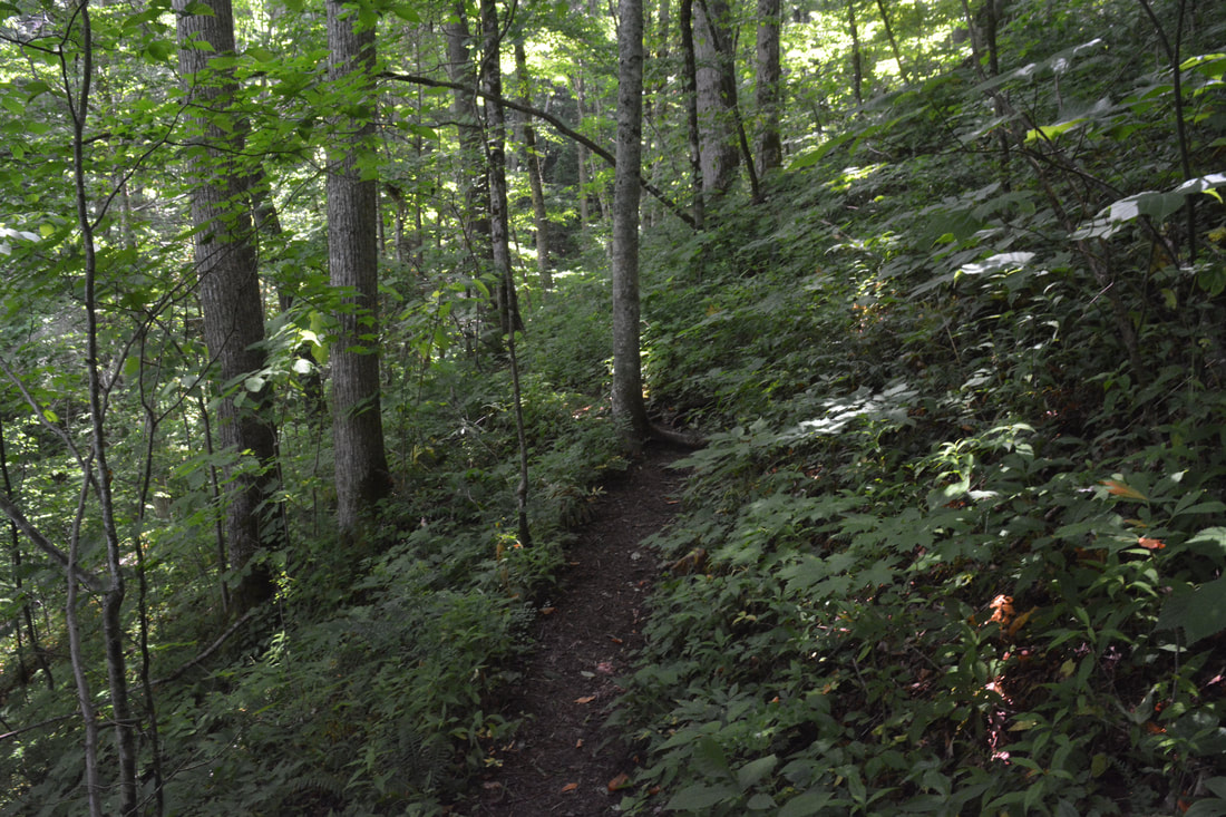
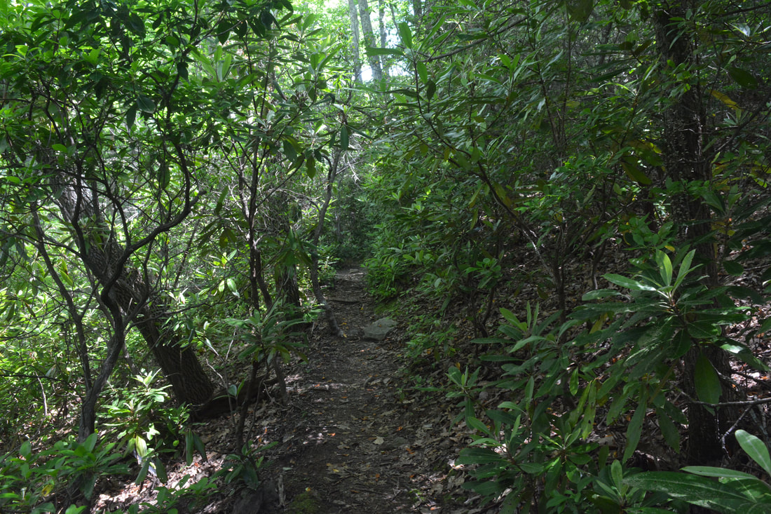
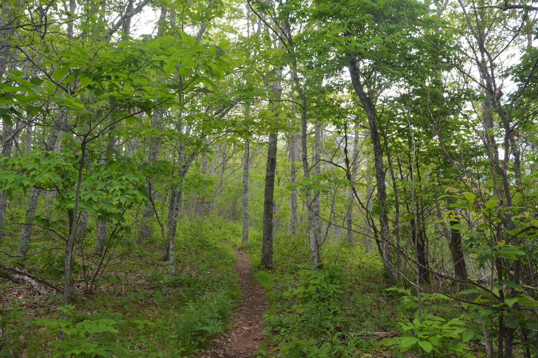
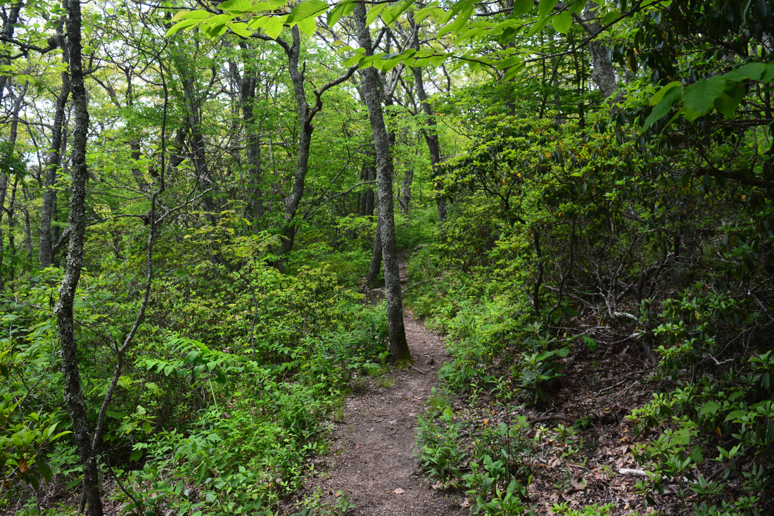
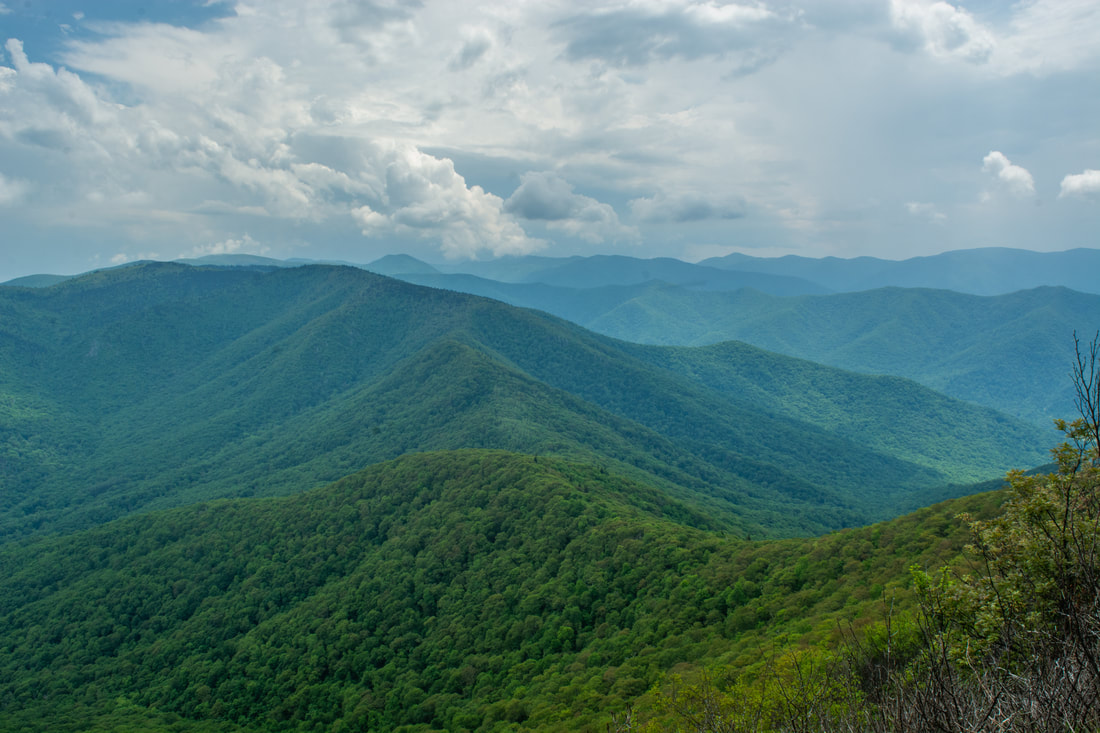
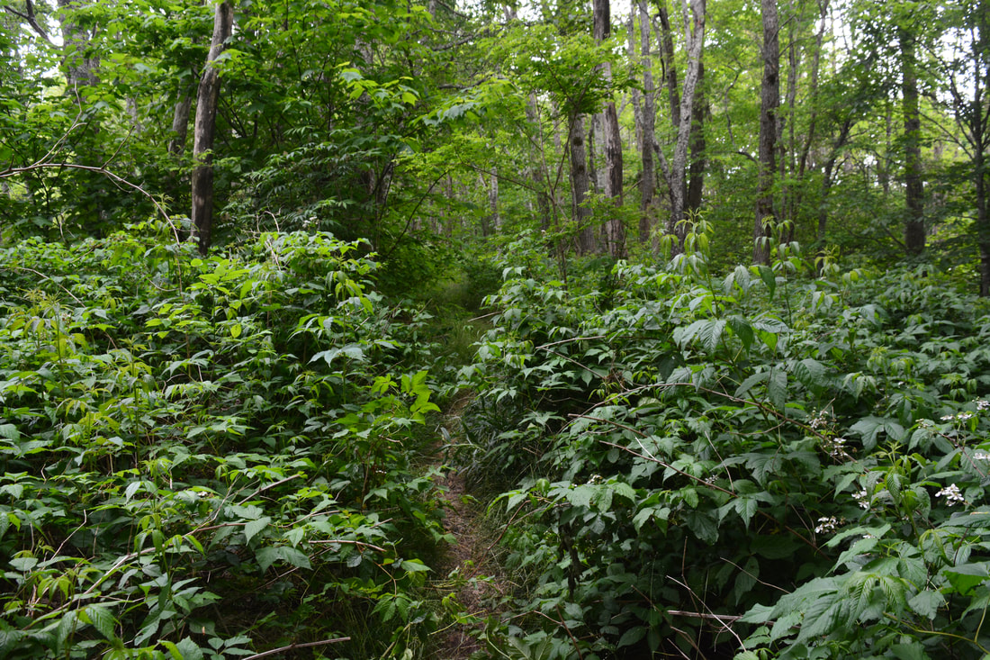
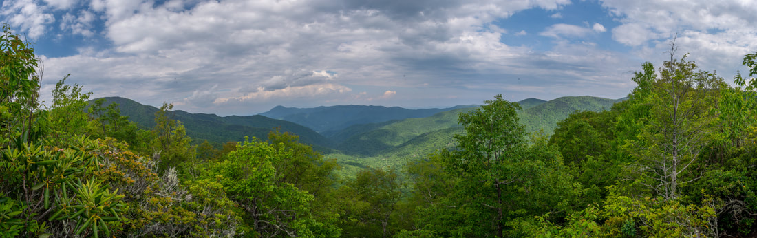
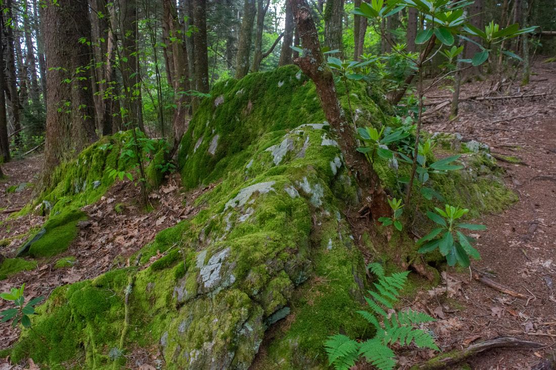
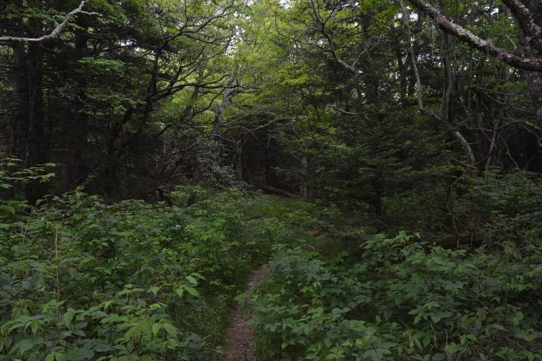
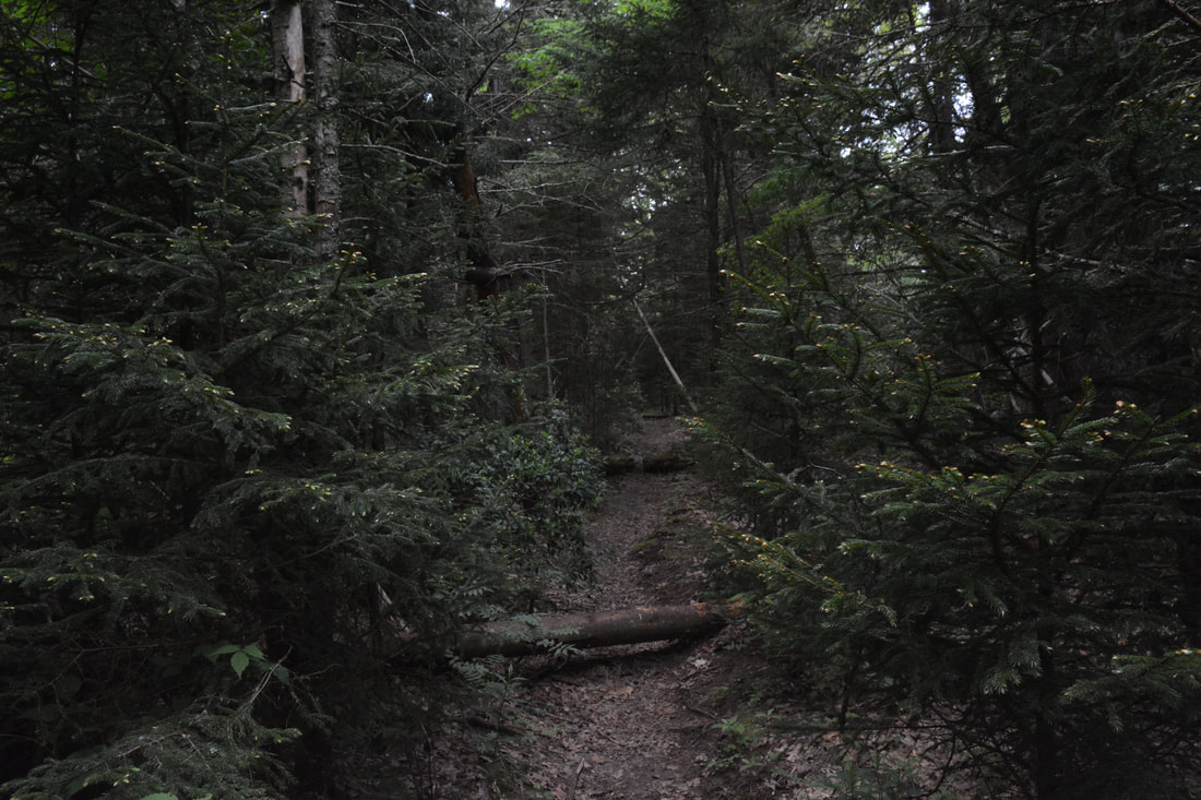
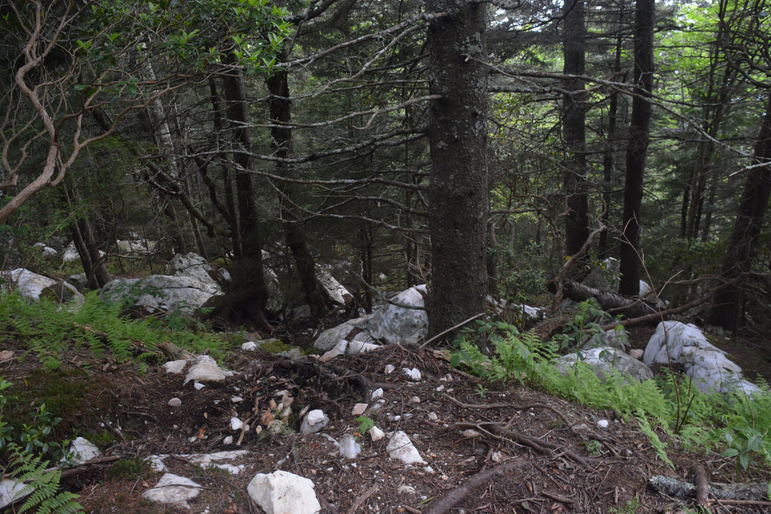
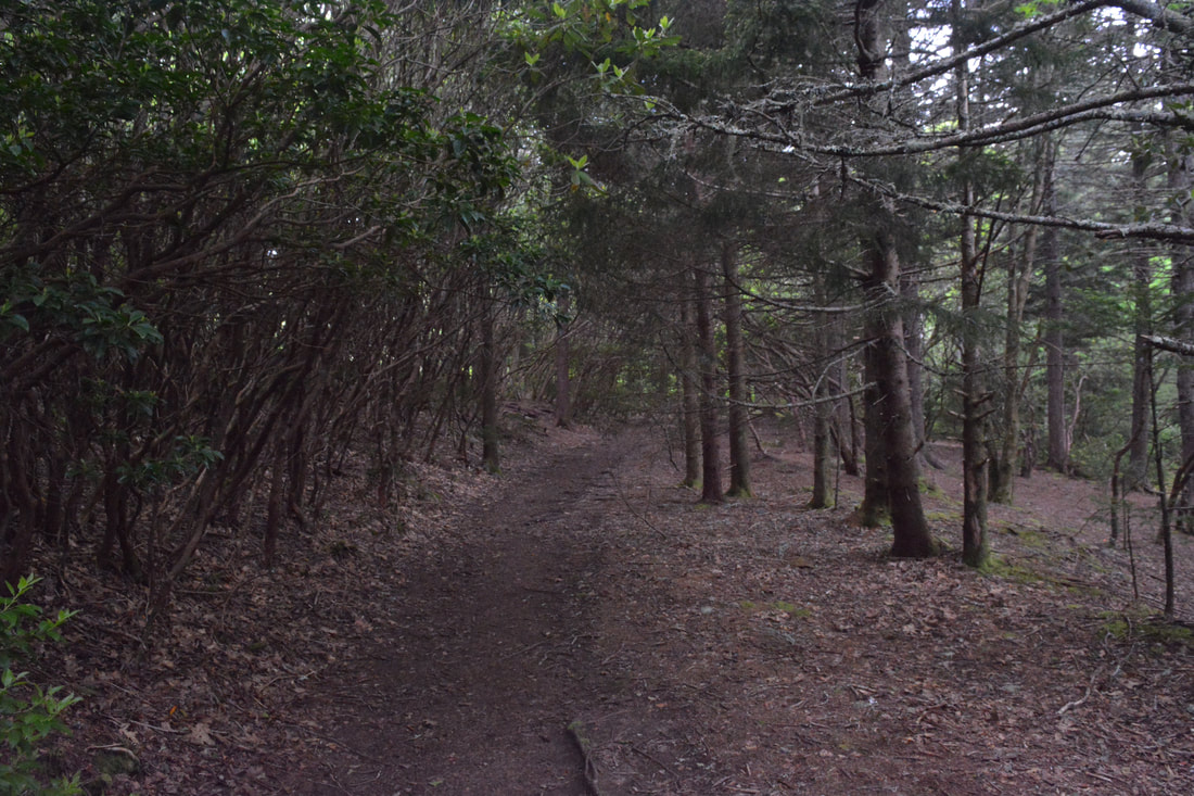
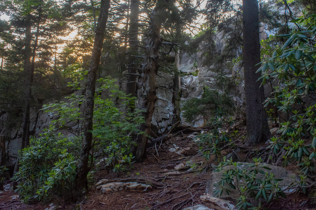
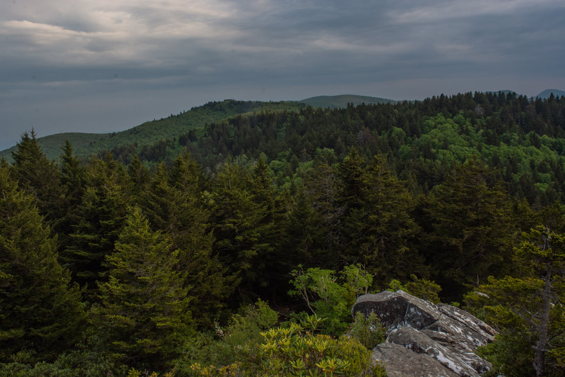
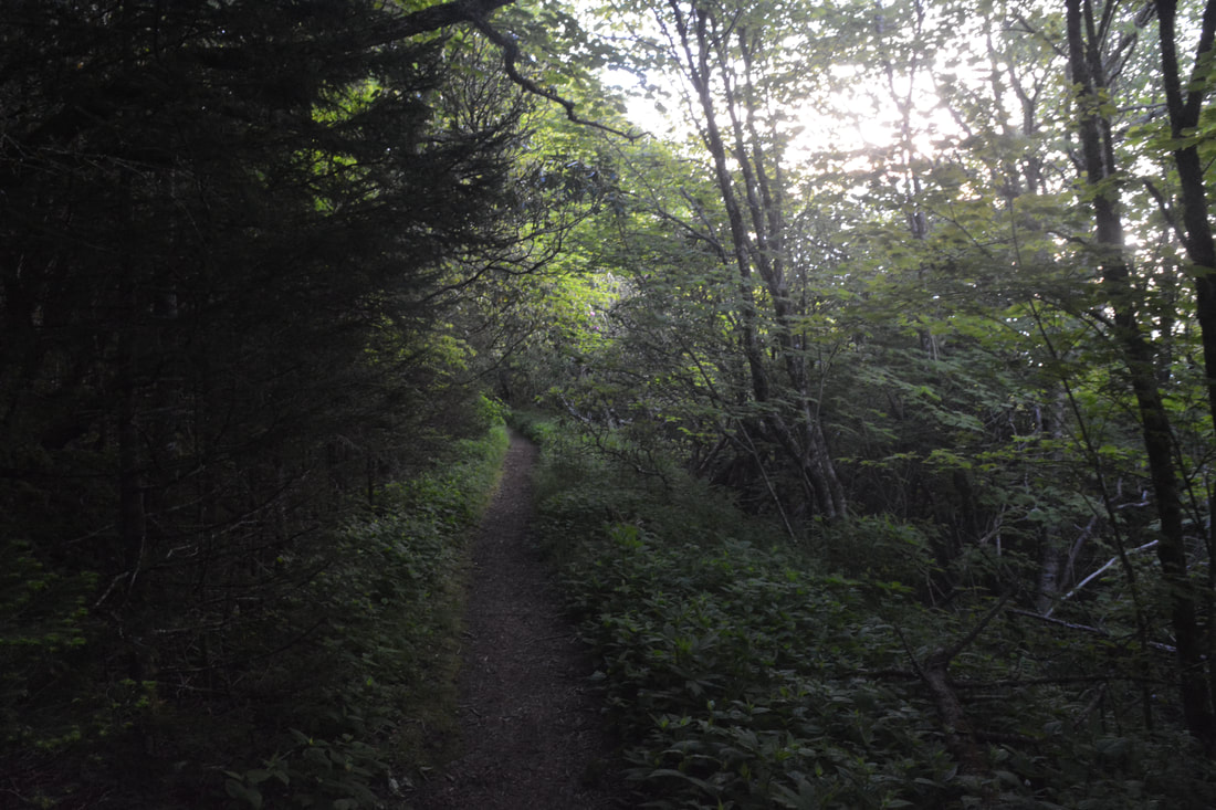
Retracing your steps along the Cold Mountain Trail, you will find yourself once more in Deep Gap at 6.8 miles. If you feel like you've had enough at this point, you could always just follow your earlier route back to Daniel Boone Scout Camp for a 10.7-mile hike. Otherwise, continue straight and begin a moderate ascent on the Art Loeb Trail - the introduction to The Narrows. The trail is clearly less-traveled and pretty overgrown in places. After this rough 300-foot climb, the path levels out in a laurel thicket and reaches a series of side paths. Ignore the first path on the left (there isn't much of a view there). The next path is on the right at 7.3 miles, leading a few feet to a spectacular clifftop view into the Little East Fork valley. This is the primary view in The Narrows, and what a view it is! The vast valley of green in the foreground is framed perfectly by the lengthy Fork Mountain ridge in the back. Daniel Boone Scout Camp is somewhere deep within that valley. But wait, there's more! Directly across from this vista is a third side trail, where there is another rock outcrop with wonderful views facing eastward, down the Crawford Creek and Big East Fork valleys, and toward the tower-topped peak of Mount Pisgah. The Art Loeb Trail begins a series of abrupt ups and downs that make The Narrows famous. Over this course, the trail crosses several sharp, rocky rises, but they are all mostly wooded with just limited views. Reach the foot of Stairs Mountain at 7.7 miles. The long, stairstep climb with 600 feet of elevation gain is oddly reminiscent of the mountain's name. An increasing high country feel emerges as the trail ascends. Giant ferns carpet the ground amidst scattered mossy stones beneath shady old-growth spruce trees. The single-track pathway twists through the mysterious woods, something new to see around every corner. The forest between here and Shining Rock Mountain makes this my favorite part of the hike. 
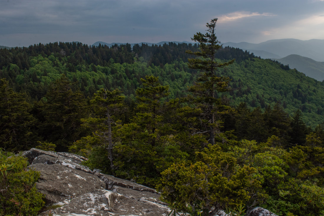
A fine clifftop view westward toward the Little East Fork valley and Fork Mountain from The Narrows along the Art Loeb Trail.
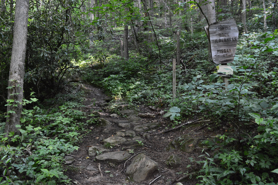
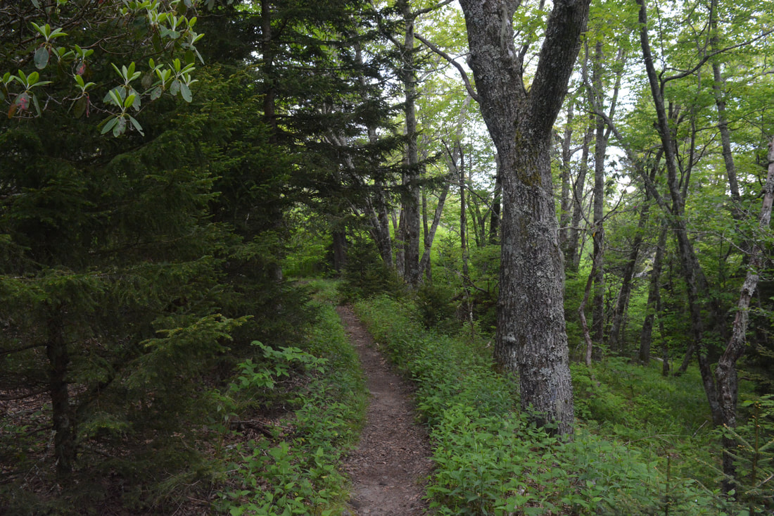
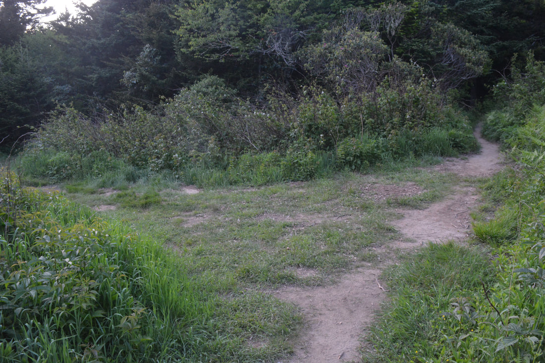
Reach the summit of Stairs Mountain at 8.8 miles, punctuated by a small rocky clearing on the left. The path then swings to the west side of the ridge and momentarily becomes very rugged. Descend to Crawford Creek Gap at 9.1 miles. A few dozen yards past the gap, the walking becomes tremendously easier as the trail joins an old logging road and skirts the west side of Shining Rock Mountain along this level grade. As you approach Shining Rock Gap, note the increasingly prominent white quartz stones scattered on the surrounding slopes. An abrupt left turn brings the trail into the grassy opening of Shining Rock Gap at 9.8 miles. This is a crucial junction, as three other trails leave the gap, and none are marked. On the far right is the Ivestor Gap Trail, heading southwest - this will be your route after the excursion to Shining Rock Mountain. In the middle, pointing south, is the Art Loeb Trail, which circumvents Flower Knob and Grassy Cove Top on its way to the popular balds of Tennent Mountain and Black Balsam Knob. On the far left, pointing north-northeast, is the Old Butt Knob Trail. This is the route to Shining Rock Mountain, which is must-see, for it's another outstanding view and less than a quarter-mile away.
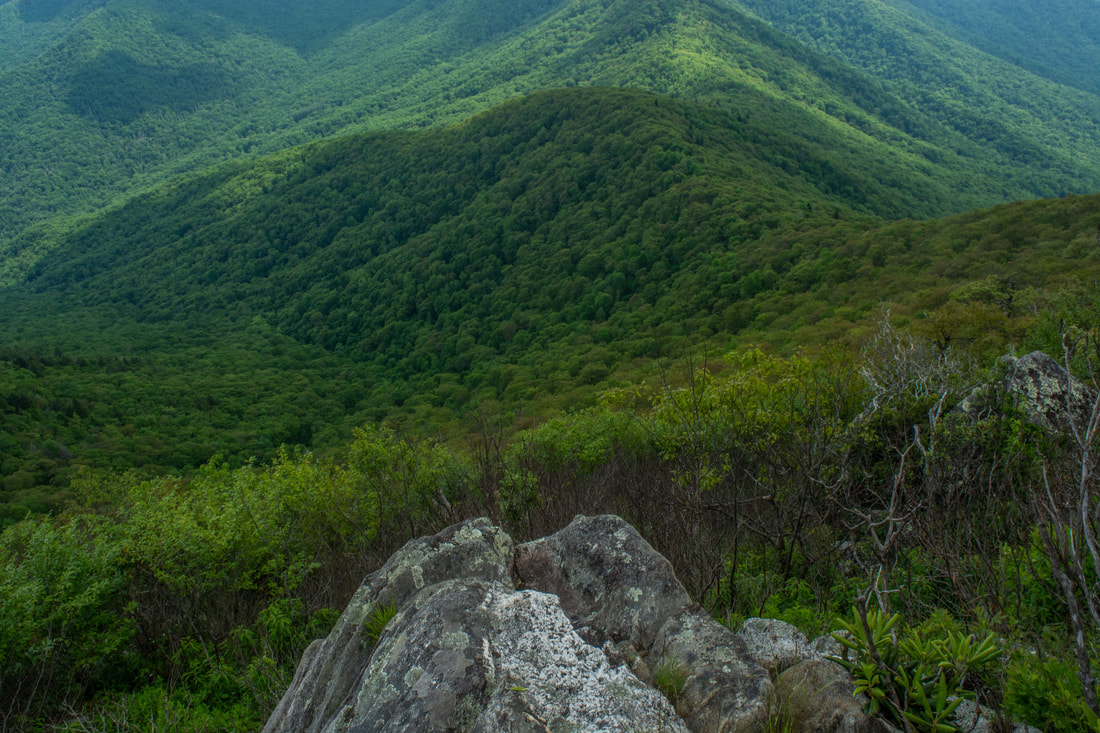
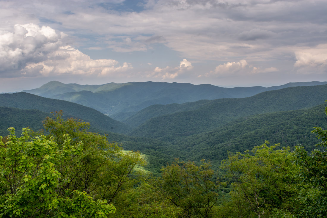
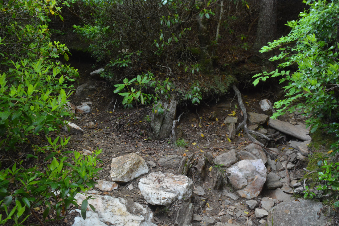
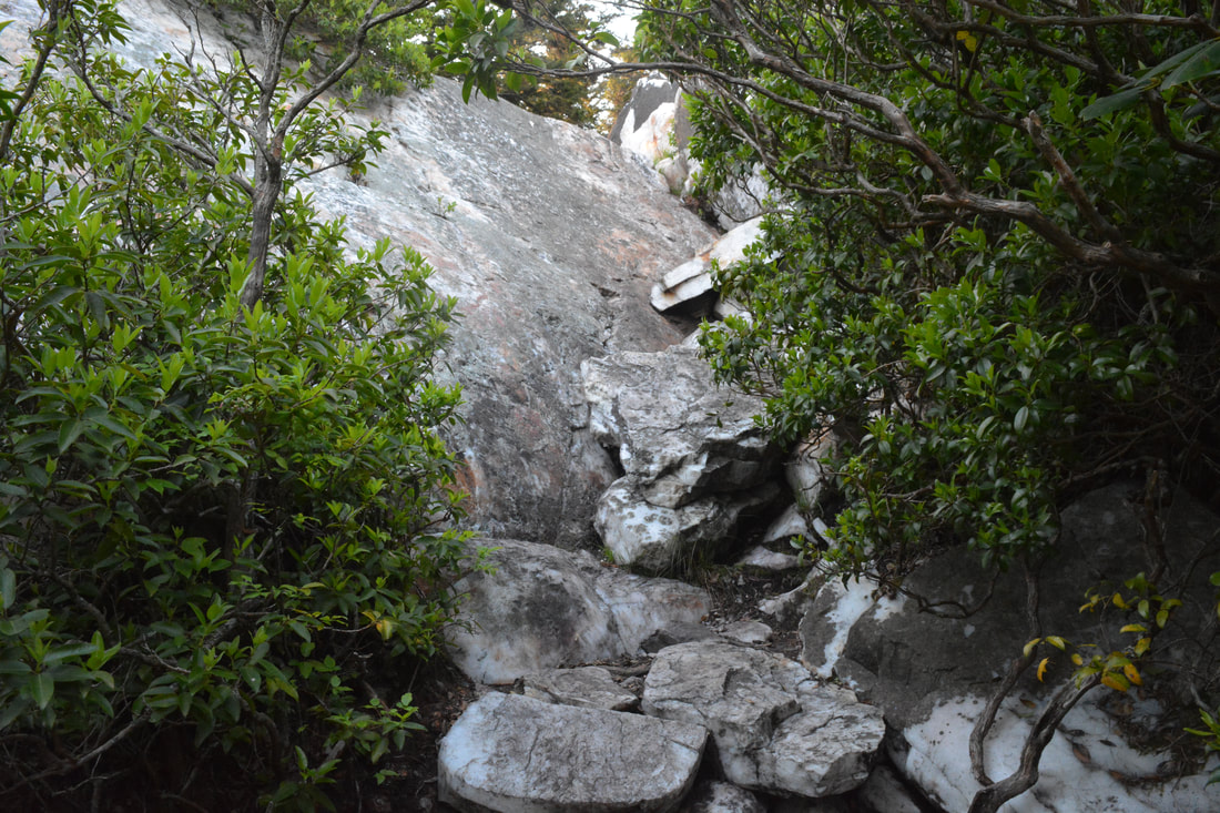
The Old Butt Knob Trail gradually climbs through a dense, dark forest of spruce and fir. The open understory features a number of attractive campsites. After a pair of switchbacks, the trail reaches the foot of the Shining Rock cliffs at 9.95 miles. This area is confusing due to the maze of user-created paths meandering through the woods to various rock outcrops and campsites. Follow the trail uphill alongside the cliff, shortly coming to a split. The right fork is the Old Butt Knob Trail, which descends over three miles to the Big East Fork of the Pigeon River. Take the left fork, the side path to the Shining Rock views. In a few dozen feet, arrive at a rock scramble. This is a fairly easy scramble, but it may be tricky for novices in rock scrambling. I think there are alternate paths to the top, but I did not have time to find out. Regardless, at the top, turn left and walk out to the edge of Shining Rock at 10.0 miles. The Shining Rock Mountain vista is not nearly as long-range and unobstructed as the others on this hike, but it is equally appealing. This view brought me a heightened wilderness feel absent elsewhere on the hike. The slopes of Shining Rock Mountain and Flower Knob in the foreground are blanketed by a fantastic spruce-fir forest. The rich green contrasts starkly with the blinding white quartz that gives Shining Rock its name. A little to the right of Flower Knob are two prominent ridges: Birdstand Mountain and Fork Ridge, separated by the Little East Fork and West Fork gorges. On a clear day, you'll find panoramic views into the Pisgah District to the south and southeast, but that entire area was shrouded in a thick haze today. Interestingly, Shining Rock is not at the summit of Shining Rock Mountain, so you'll need to do some extra walking to bag the 5,980-foot summit. 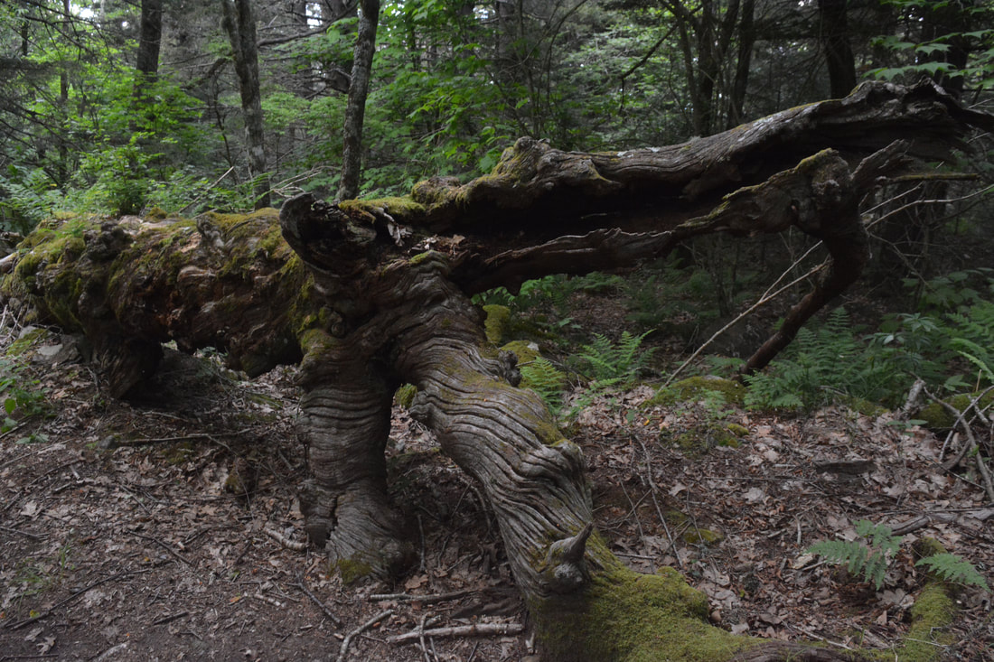
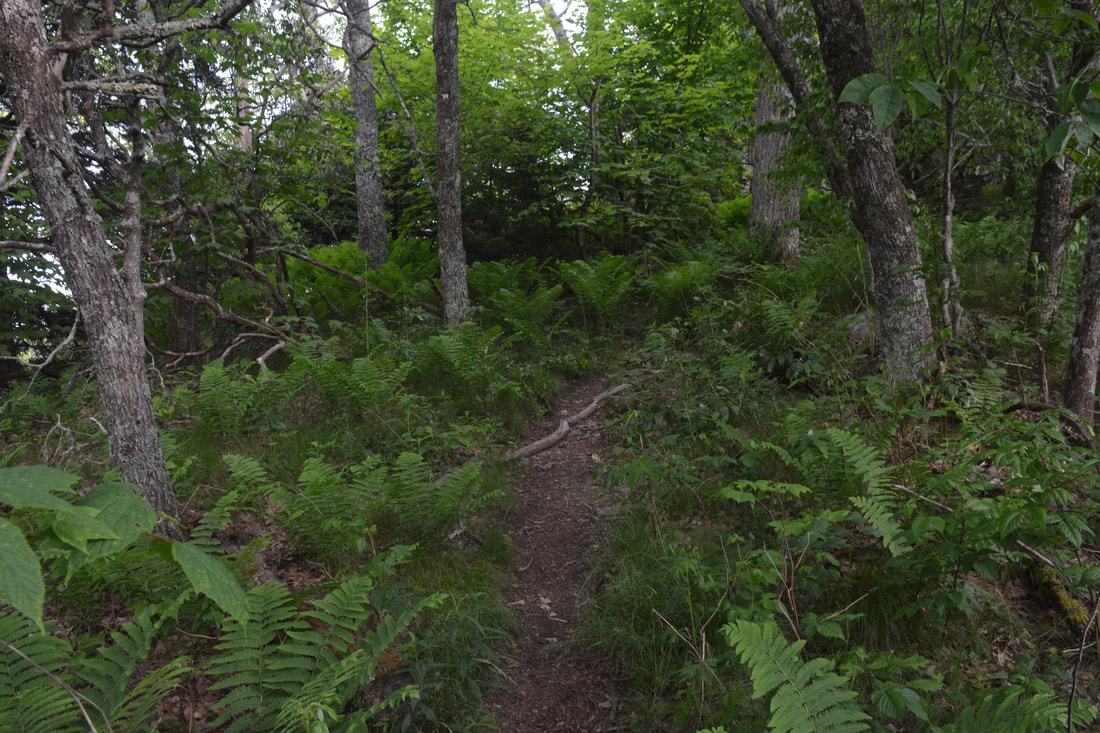
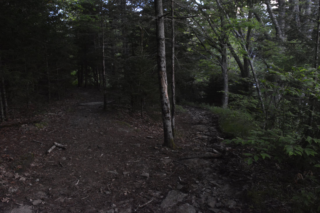
A gnarled tree trunk lies alongside the Art Loeb Trail near Stairs Mountain.
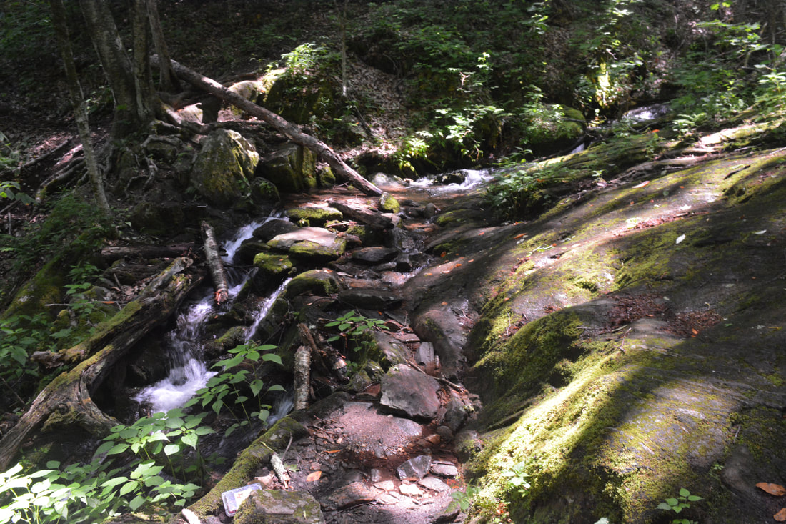
Return to Shining Rock Gap at 10.2 miles. Cross the gap diagonally and pick up the Ivestor Gap Trail on the southwest end of the clearing. Be careful and make sure you pick the right trail - it's the only quick exit route to Camp Daniel Boone. Follow the Ivestor Gap Trail along a level logging grade for a half-mile. At 10.7 miles, just after a broad left curve, arrive at an inconspicuous split in the path. The main trail bears left toward Ivestor Gap and Black Balsam Knob, while the fainter Little East Fork Trail bears right toward Camp Daniel Boone. It's crucial that you stay right on the Little East Fork Trail here. The junction is unsigned - it may have flagging tape, but do not count on it. The Little East Fork Trail follows an old forest road its entire route. Despite being one of the lesser-traveled trails of the Shining Rock Wilderness, it's mostly easy to follow. The gradual descent along the first 3/4-mile of the trail can be pretty overgrown. Around 11.5 miles, a steeper descent commences. The trail makes four long switchbacks before swinging into the Little East Fork valley, where it crosses several small streams rushing down to meet the river. After 1,200 feet of moderate-grade elevation loss, reach the Little East Fork of the Pigeon River at 13.1 miles.
The trail crosses the Little East Fork as soon as it reaches it. This is the only crossing on the hike. I was able to rock hop across despite water levels that were unusually high for mid-summer. However, bear in mind that there's a possibility you'll need to wade across a part of the crossing, especially during the high flows of winter and spring. From here on, the trail closely parallels the west side of the Little East Fork for over 2.5 miles. The trail continues to follow an old forest road a little above the river, but the road provides numerous views of the river's many scenic cascades and small waterfalls. At 13.6 miles, a large, unnamed tributary joins the Little East Fork from the river's opposite side. This tributary is home to 80-foot Boulderfield Falls, some 500 feet above the river. With good flow, Boulderfield Falls is a very nice waterfall, but it's a difficult bushwhack that would eat up a lot of time. In case you're interested, the GPS coordinates for Boulderfield Falls are N35.36049° W82.87974°. After a long, scenic descent along the Little East Fork, the trail finally reaches its northern terminus at Camp Daniel Boone at 15.6 miles, at elevation 3,350 feet. You've descended over 2,500 feet from Shining Rock! Exiting the Shining Rock Wilderness, keep walking on a gravel road through the middle of the scout camp. Cross the Little East Fork one last time on a vehicle bridge, stay left on the main road, and close the loop as you arrive at the Cold Mountain trailhead parking at 16.0 miles. I have decided to rate this a "Best Hike" due to the multitude of stunning views and tranquil, wilderness forests found all throughout the hike. Mileage
0.0 - Cold Mountain Trailhead (Daniel Boone Scout Camp)
2.0 - Tributary of Sorrell Creek 3.9 - Deep Gap 5.3-5.4 - Cold Mountain Views 6.8 - Deep Gap 7.3 - The Narrows Views 8.8 - Stairs Mountain 9.8 - Shining Rock Gap 10.0 - Shining Rock Views 10.2 - Shining Rock Gap 10.7 - Little East Fork Trail Jct 13.1 - Little East Fork Pigeon River Crossing 15.6 - Little East Fork Trailhead (Daniel Boone Scout Camp) 16.0 - Cold Mountain Trailhead Variations
Hike out and back to Cold Mountain - 10.6 Miles
Hike out and back to Shining Rock (via Little East Fork Trail) - 12.0 Miles Bonus Stops
Between Lake Logan and the Blue Ridge Parkway, NC 215 features a number of waterfalls in close proximity to the road. Waterfalls like Sunburst Falls, Little Bird Falls, and Bubbling Spring Branch Cascades could make for attractive add-ons to this hike.
Pictures & Videos
2 Comments
Cliff
1/24/2019 06:02:15 am
Beautiful vista picture of the sun piercing through the clouds!
Josh
7/20/2023 04:01:38 pm
Hey! Can you tell me more about the campsites on top of COld Mountain? You say there is a series of nice campsites - any place to hang a hammock? Is there are view east or west up at the top, or just that south-ward one you posted? Thanks for the intel. Leave a Reply. |
About MeMark Oleg Ozboyd Dear readers: I have invested a tremendous amount of time and effort in this website and the Georgia Waterfalls Database the past five years. All of the work that has gone in keeping these websites updated with my latest trip reports has almost been like a full-time job. This has not allowed me to pick up a paid job to save up money for college, and therefore, I I've had to take out loans. If you find the information on this website interesting, helpful, or time-saving, you can say "thanks" and help me out by clicking the button above and making a contribution. I will be very grateful for any amount of support you give, as all of it will apply toward my college tuition. Thank you!

Coming in 2022-2023?
Other Hiking WebsitesMiles HikedYear 1: 540.0 Miles
Year 2: 552.3 Miles Year 3: 518.4 Miles Year 4: 482.4 Miles Year 5: 259.9 Miles Archives
March 2021
Categories
All
|
||


 RSS Feed