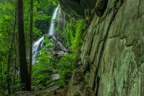
What are some of the tallest waterfalls in north Georgia? You probably have the names "Amicalola Falls" and "Anna Ruby Falls" somewhere in your head. But what about Cochrans Falls? There is a possibility that you haven't heard that name before, and for good reason. This 600-foot waterfall is only around 130 feet lower than Amicalola Falls, but it is one of the most secluded waterfalls in the entire state and has nowhere near the fame of its taller neighbor to the west. On this hike, you'll follow a jeep road into the depth of the Cochrans Creek valley, before taking a rugged and steep goat path to Cochrans Falls and the head of this remote and very scenic area. This hike occurred on Saturday, May 21st, 2016. My plan was to follow a jeep road from Blackhawk Road along Cochrans Creek. At the terminus of the road, I would take an unofficial trail that would scramble along the creek and past the numerous lower cascades and drops of Cochrans Falls all the way to the uppermost and highest drop. I returned to Cochrans Falls on Saturday, June 2nd, 2018, for better photos. This trail report has been updated with new access information, and a new photo gallery can be found below.
Summary
R/T Length of Trail: 4.9 Miles
Duration of Hike: 4:50 Type of Hike: Out and Back Difficulty Rating: 8 out of 10 Total Elevation Gain: 978 Feet Pros: Only the last part of the hike is difficult; cables are strung along the trail at the steepest parts Cons: There is ORV usage on the jeep road that the trail originally follows Points of Interest: Cochrans Falls - 10+ stars Trail Blaze Color(s): None Best Season(s) to Hike: Spring Fees: None Beginning Point: Clearing on Blackhawk Road just before an old gate and a ford of Cochrans Creek Directions: From Dawsonville, GA: Follow Shoal Creek Road northward for 2.6 miles. Then, turn left onto GA Route 136 and follow it for 3.2 miles. Next, turn right onto Bailey Waters Road. Continue on Bailey Waters Road for 4.4 miles (past the GA 52 intersection) until Dan Fowler Road. Turn left onto Dan Fowler Road, and continue for 1.2 miles. At a place where the road curves right, bear left onto Blackhawk Road, a narrow gravel road. Continue on Blackhawk Road for 0.3 miles, and after keeping left at the fork, arrive at the clearing to the right of the road. This clearing has space for several cars. Blackhawk Road, while narrow, should be suitable for most passenger vehicles. Map
Click here for more information and to download this trail map to view in Garmin Basecamp.
Details
Having read about the difficulty to reach this waterfall in several guidebooks, I wasn't quite sure if I would make it, but in the end result, I can conclude that this isn't the hardest hike that I have done. The scrambling is fairly tough, but if you have some hiking experience, you should be able to do it without any significant problems.
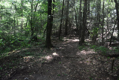
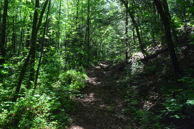
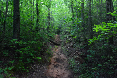
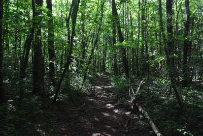
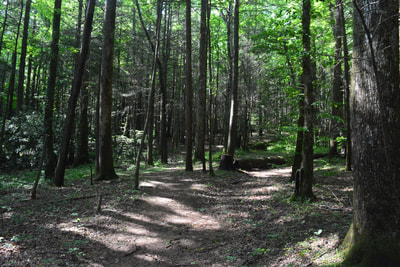
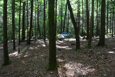
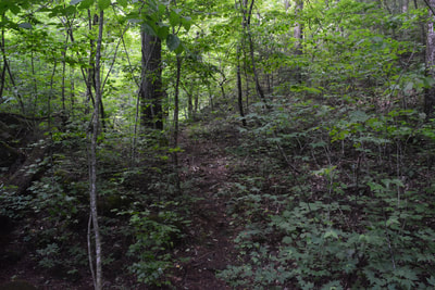
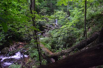
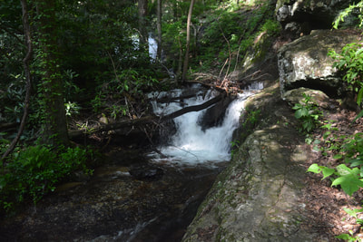
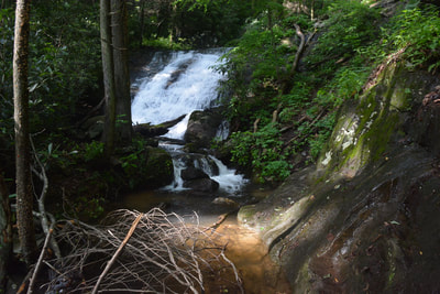
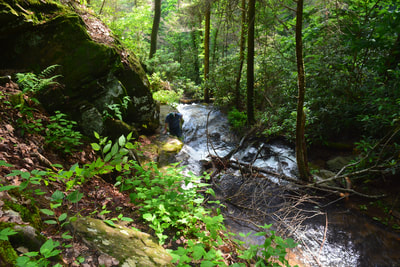
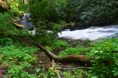
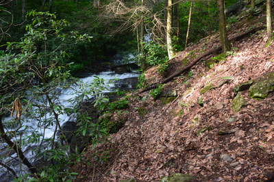
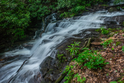
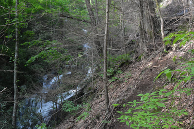
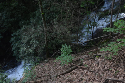
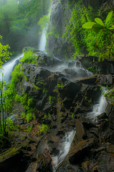
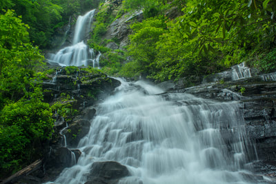
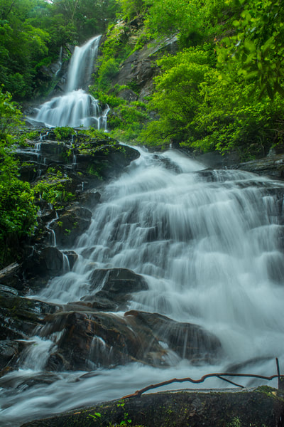
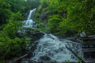
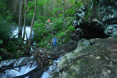
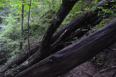
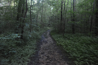
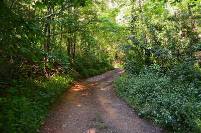
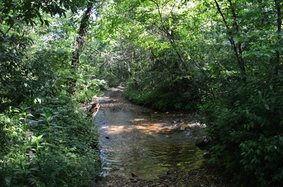
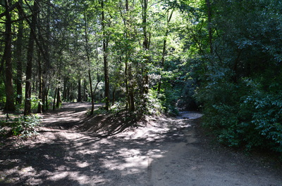
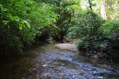
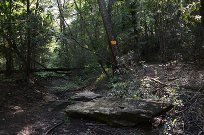
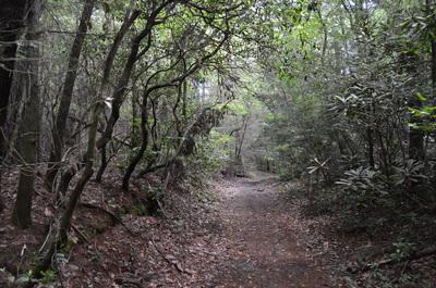
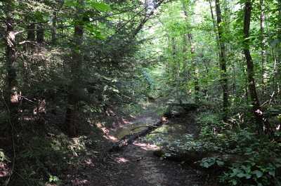
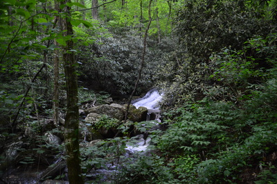
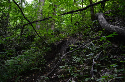
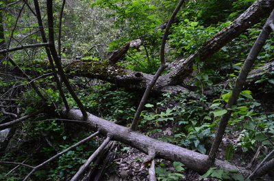
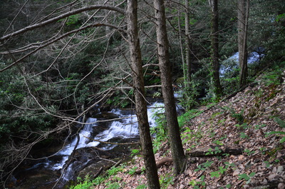
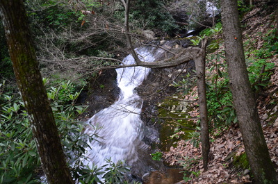
Begin the hike to Cochrans Falls by continuing down Blackhawk Road from where you parked your car. Shortly, you'll arrive at the first ford of Cochrans Creek. Just before the road, note the old gate lying in the weeds. Several years ago, this road was gated to prevent any further ATV use, but at some point after that, the gate must have been illegally removed. Thus, with a high-clearance vehicle, you can drive a little farther in, but it's not important. Following the first ford, the road passes a field to the left and then curves to the right to a fork at 0.15 miles, where one road keeps left, uphill, and the other road keeps right, downhill back to Cochrans Creek. Take the right fork and descend to the second ford shortly thereafter. The second ford is at 0.25 miles, and there is a camping area to the left. After the ford, there are several vehicle-blocking boulders, and the original route of the jeep road is filled in by fallen trees. To continue the hike, bear right on a bypass path, going around the downed trees on the old roadbed, and then return to and turn right onto the jeep road. There is not much to see along this jeep road as it remains mostly flat and sometimes within sight of Cochrans Creek. There are some muddy areas, and as you get further in, these muddy areas increase in number, but they can be avoided. At 0.7 miles, a jeep road bears left and fords Cochrans Creek. Bear right to continue on the route to Cochrans Falls. At 1.8 miles, the jeep road enters a large camping area. From here, a less distinct but still wide road continues straight. At 1.9 miles, the jeep road ends in front of a large fallen log. This is where you will leave all ATVs behind and begin the rugged goat path to Cochrans Falls. Cross over the log, descend to an area of slippery rocks, and then begin ascending into the narrowing Cochrans Creek valley. Soon, the path bears right - try to stick with the most obvious path. The valley steepens very suddenly and quickly here, and before long, the path starts to follow a steep slope with Cochrans Creek foaming below to your left. There are several large blowdowns in this area that can take a while to maneuver across. The grade of the trail also steepens. At 2.3 miles, the trail reaches the lowermost part of Cochrans Falls, a beautiful sliding cascade. This is where the toughest part of the hike starts. First, you must scramble across a slanted rock next to the creek. This area may be impassable during winter if it's icy. If you don't wish to scramble along the rock here, you can walk through the creek to the other side of the rock instead. Once you're past the rock, there are two paths that rejoin later. I took the one to the right - I scrambled up another rock and then to a steep area where you must walk across a slippery rock. Just a bit farther, you'll come to what looks like the steepest stretch yet: a cable strung across a large rock face. The route up this rock looks almost like a rock climbing route! Another path heads left along the creek - this is a much easier route that I would recommend to take. By now, you have probably realized that the striking beauty of the upper reaches of the Cochrans Creek watershed is one of the most beautiful places around.
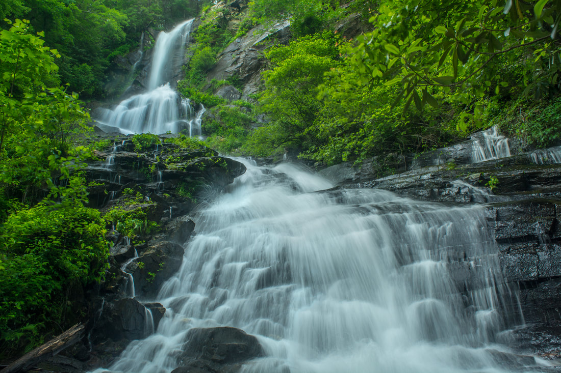
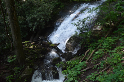
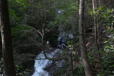
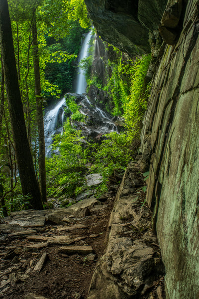
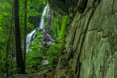
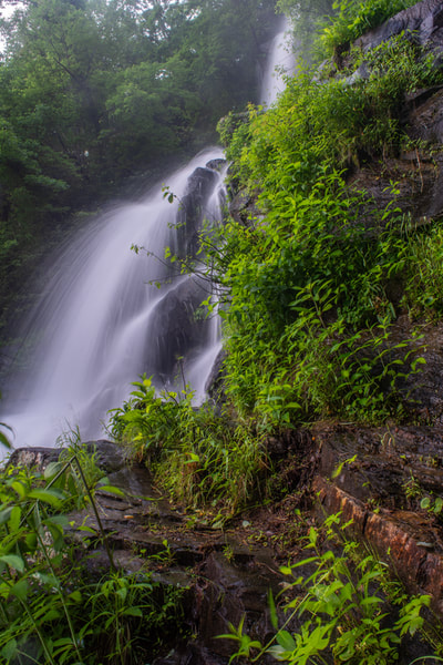
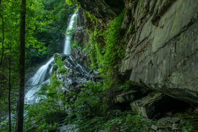
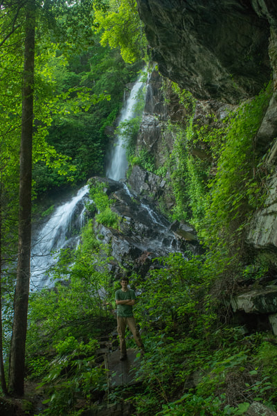
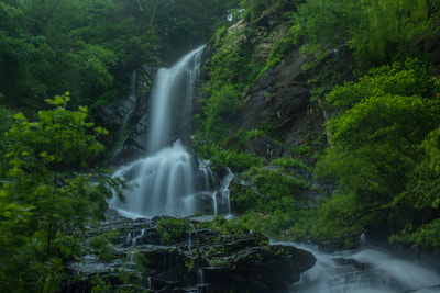
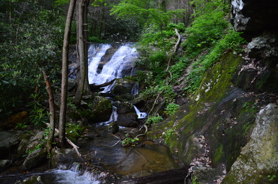
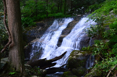
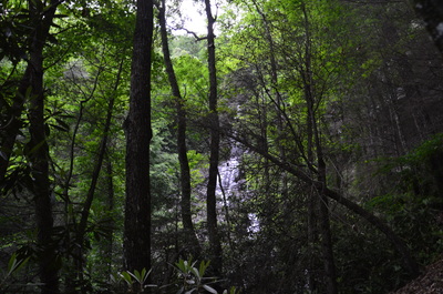
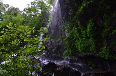
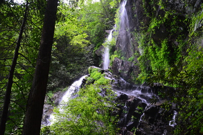
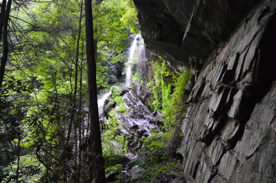
The distinct path passes a set of scenic cascades and continues a very steep scramble over dirt and rocks. After the other path joins from the right, the ascent turns a little easier - though it remains steep. Through the trees, especially during winter, you can see the highest drop of Cochrans Falls, along with smaller cascades below it, to the trail's left. At 2.45 miles, the steep ascent finally ends at a tall rock bluff that is reminiscent of the Cumberland Plateau. This is the end of the trail to Cochrans Falls. To the left, you can walk out to the top drop of Cochrans Falls. What a view! Cochrans Creek free-falls off the cliff and onto jagged rocks covered in lush green vegetation. The waterfall itself, along with the rock wall to the right, makes for a very picturesque setting. Cochrans Falls is among my favorite waterfalls in Georgia. It's also pretty easy to reach the base of the main upper drop of Cochrans Falls (rather than the side view). All you have to do is make a short scramble down from the path about 250 feet below the big cliff. Be extremely careful here, as there are other big drops below. This vantage point affords a great view of the 100-foot double-tier upper drop of Cochrans Falls. The upper tier is the breathtaking free-fall, and the lower tier is a stairstep cascade.
The route back is the same way, so from Cochrans Falls, retrace your steps. The descent seemed to me to be a little more difficult in the tough spots, so be careful and don't try to go too fast. You'll return back to your car at 4.9 miles. For such a short trail, this hike is of surprising difficulty - the roughness of the terrain around Cochrans Falls is not to be underestimated. Nevertheless, the reward is outstanding. I rate this hike a "Best Hike"! Mileage
0.0 - Cochrans Falls Parking on Blackhawk Road
0.25 - Second ford of Cochrans Creek 1.9 - The end of the jeep road 2.3 - Lowermost drop of Cochrans Falls 2.45 - End of the trail at final, highest drop of Cochrans Falls 4.9 - Return to the parking area Variations
None, unless you choose not to scramble all the way up to the top of Cochrans Falls.
Bonus Stops
Bearden Falls is a nearby waterfall that is similar to Cochrans Falls, although not as tall. It is a lot easier to reach Bearden Falls, from what I've read.
Pictures
6/2/18 Gallery:
5/21/16 Gallery:
Videos
7 Comments
Ben Van Riper
6/25/2018 05:17:01 pm
The trail leading to the top of the highest drop does indeed exist — but it is very trecharous. It leads to a phenomenal view of the gorge next to a plaque.
Reply
Maria Misiura
10/13/2019 07:23:54 pm
I followed these instructions and visited this waterfall today. It was such an awesome hike, and these instructions are very detailed and easy to follow. It was super fun, and the last part was pretty strenuous. Overall, a really fun hike, and not too far from Atlanta.
Reply
Thomas
1/27/2020 09:00:49 am
Author wrote: "cables are strung along the trail at the steepest parts "
Reply
Barbara Decker
9/17/2020 11:33:50 pm
Another death on Cochrans Falls. Last Friday, 9/11/2020, two hikers fell while climbing the falls. The man is in hospital with brain and spinal injuries. The woman, who was going for help, was found dead at the base of the falls. It took many hours for state and local officials to reach the bodies and many hours in the dark to remove them. This is happening too often!!
Reply
6/18/2023 01:45:22 am
As I have been cloned and hacked and even arrested in my effort to shut this Red gate and also as Cochran Falls can be across from Amicalola Falls because it is from Cochran Creek feed these are.
Reply
Angela
10/24/2020 12:44:55 pm
Please send me a map link for Cochran Creek Falls to Hike Inn.
Reply
Barbara Decker
10/24/2020 08:50:59 pm
Angela, I beg you not to attempt to climb up Cochrans Falls. The rocks are very slippery and not level which is why so many people fall and sustain serious injuries or die. If you want to go to the Hike Inn, access it from Amicalola State Park.
Reply
Leave a Reply. |
About MeMark Oleg Ozboyd Dear readers: I have invested a tremendous amount of time and effort in this website and the Georgia Waterfalls Database the past five years. All of the work that has gone in keeping these websites updated with my latest trip reports has almost been like a full-time job. This has not allowed me to pick up a paid job to save up money for college, and therefore, I I've had to take out loans. If you find the information on this website interesting, helpful, or time-saving, you can say "thanks" and help me out by clicking the button above and making a contribution. I will be very grateful for any amount of support you give, as all of it will apply toward my college tuition. Thank you!
Coming in 2022-2023?
Other Hiking WebsitesMiles HikedYear 1: 540.0 Miles
Year 2: 552.3 Miles Year 3: 518.4 Miles Year 4: 482.4 Miles Year 5: 259.9 Miles Archives
March 2021
Categories
All
|

 RSS Feed