
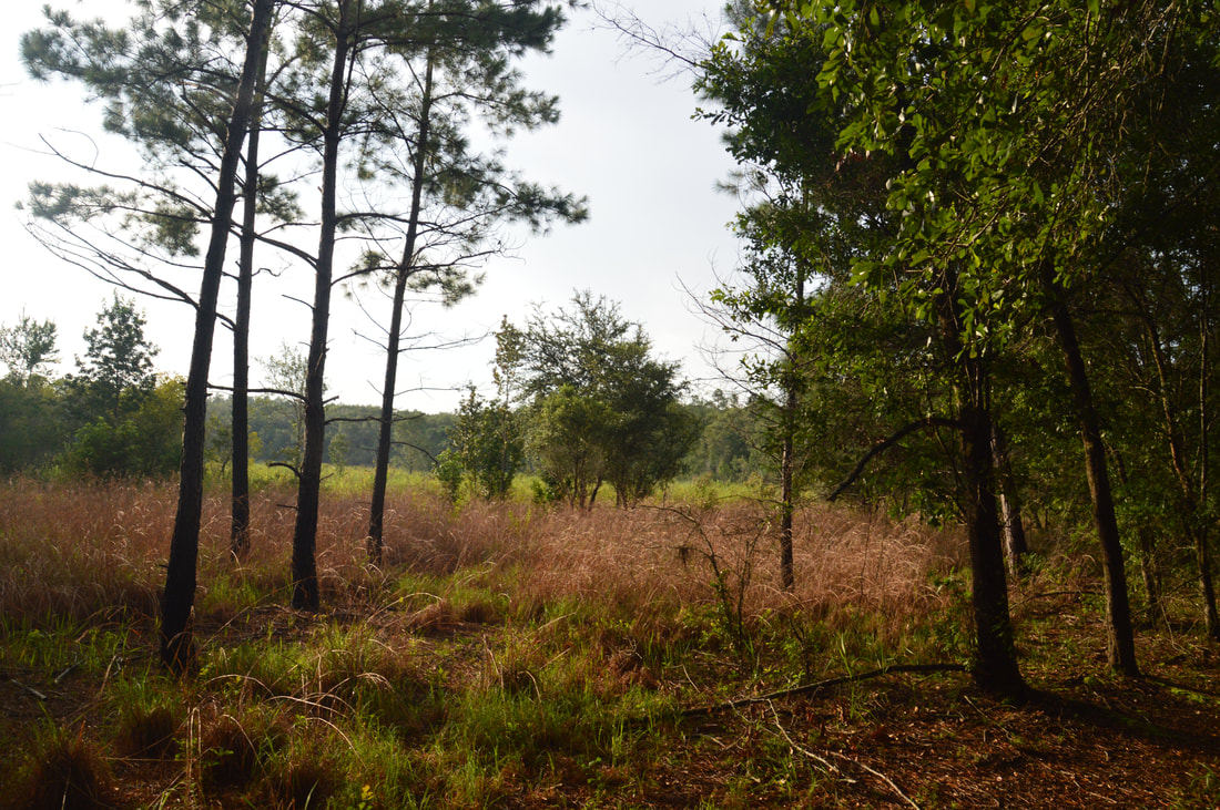
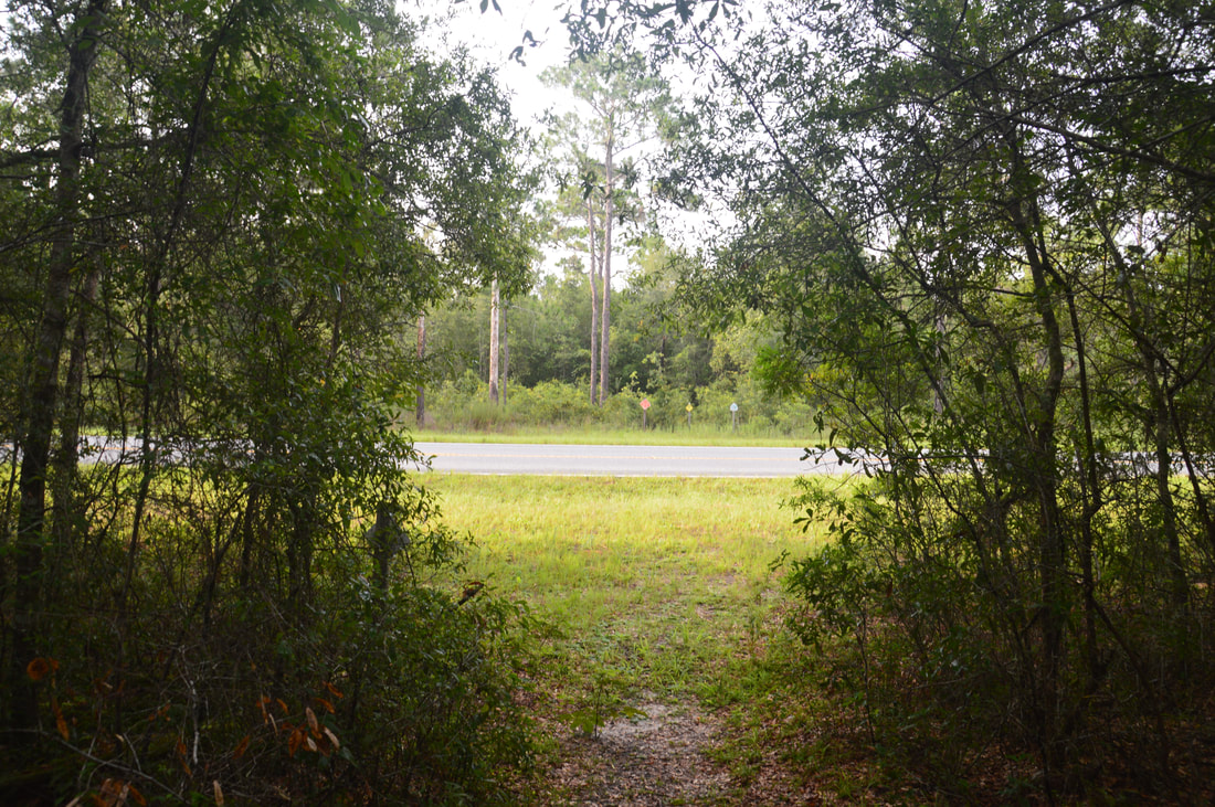
The Citrus Tract of Withlacoochee State Forest is home to some of Central Florida's most rugged terrain. Several major sinkholes and numerous caves are spread throughout the hilly Citrus Tract. The Citrus Trail, one of Florida's longest and most popular backpacking trails, is a 42-mile loop trail that passes near the perimeter of the Citrus Tract. Numerous forest roads crisscross the tract with many different starting points possible. For the convenience of day hikers, three cross-trails intersect the loop, providing shorter hiking opportunities. The southernmost loop of the Citrus Trail - Loop D - accesses one of the area's most unique sights: Dames Cave, a limestone cave with two chambers, a large open one and a smaller closed one. In addition to traversing dozens of rolling sandhills, Loop D of the Citrus Trail also passes through a bizarre rocky landscape in the vicinity of a broad sink known as Lizzie Hart Sink. This hike occurred on Saturday, July 29th, 2017. My plan was to hike Loop D of the Citrus Trail counter-clockwise from the Road 18 crossing. I would take the side trail to Dames Cave along the way.
Summary
R/T Length of Trail: 13.6 Miles
Duration of Hike: 6:45 Type of Hike: Loop Difficulty Rating: 6 out of 10 Total Elevation Gain: 982 Feet (very hilly) Pros: The Citrus Trails usually stay dry even during the wet season; Dames Cave is one of Florida's most unique natural sights Cons: Relatively monotonous scenery on parts of Loop D Points of Interest: Dames Cave; Lizzie Hart Sink; Interesting streambed near the south end of the loop; Stage Pond Trail Blaze Colors: Citrus Loop D - Orange (East Side) and Yellow (West/South Sides); Citrus C-D Connector - Blue Best Seasons to Hike: Winter Fees: None Beginning Point: Florida Trail Road 18 Crossing Directions from Brooksville, FL: From the intersection of Jefferson Street and Ponce DeLeon Boulevard near downtown Brooksville, follow Ponce DeLeon Boulevard (US 98) North for 7.8 miles. Then, turn right onto Citrus Way (County Road 491) and continue for 3.3 miles before turning right onto Stage Coach Trl (County Road 480). In another 2.1 miles, at a sign for Tillis Hill Recreation Area, turn left onto unpaved Road 13, entering Citrus Tract. After driving 1.6 miles on Road 13, stay left as a paved road on the right leads to Tillis Hill. In another 0.9 miles, turn right onto Trail 18. Follow Trail 18 for 1.8 miles to the Florida Trail crossing, marked by signs off the road. Just past the crossing is a small pullout with space for 1-2 cars on the right. While the roads to this trailhead are passable by most passenger vehicles, they get a bit muddy, narrow, and somewhat overgrown in places, so a high-clearance vehicle is recommended for the fastest trip. In a regular passenger vehicle, the drive to the trailhead may be lengthy. There are alternative starting points for Loop D, including at two crossings of County Road 480 (Stage Coach Trail). Map
Click the link below to download a .GPX file with a track of this hike!
Details
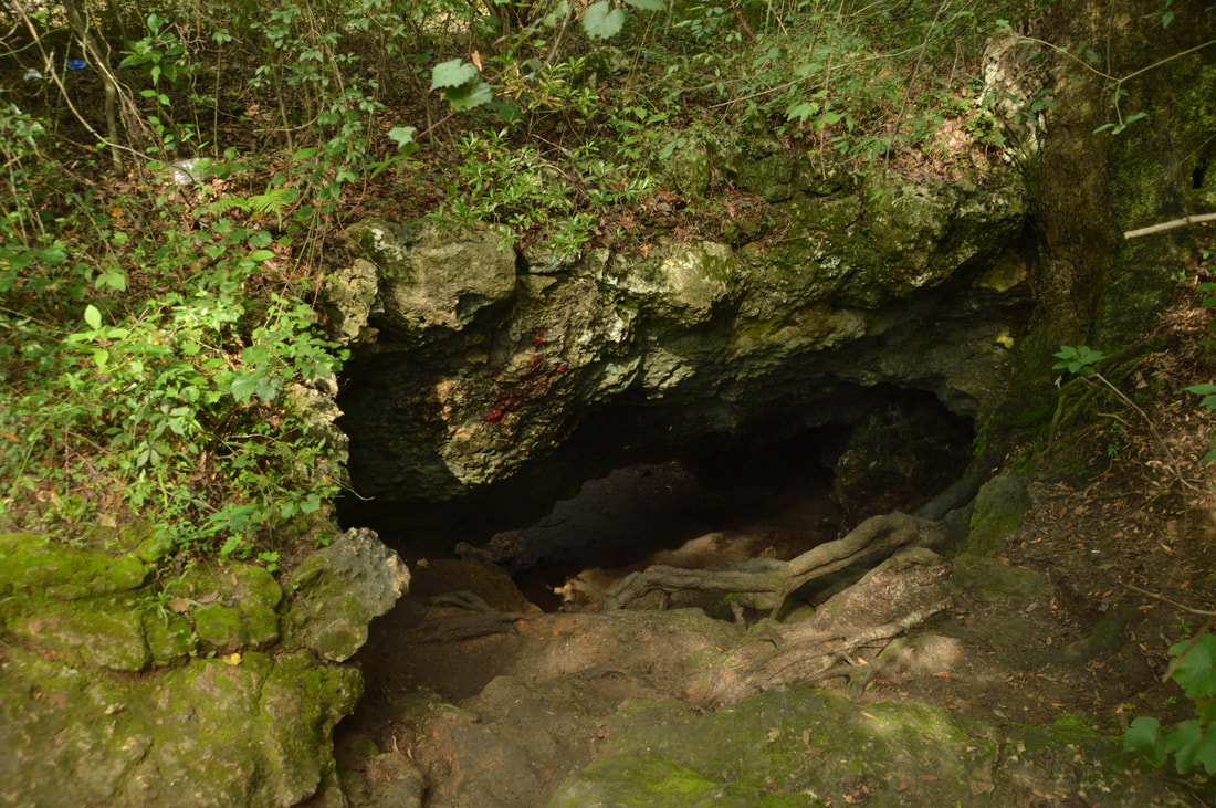
The Citrus Tract of the Withlacoochee State Forest is one of the few parts of Florida where caves are fairly common. Unfortunately, most of the caves in this area are too small, tight, and uncomfortable, or simply closed to public access. Dames Cave is a major exception. Dames Cave is open to public access and is quite easy to walk into. While a short walk from County Road 491 provides easy access to Dames Cave, getting to the cave via the Citrus Hiking Trails is a more rewarding hike that can take the full day or even can be turned into a backpacking trip.
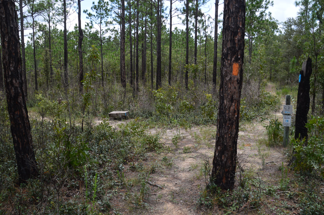
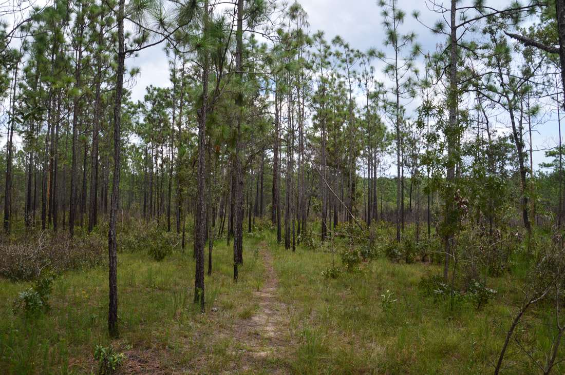
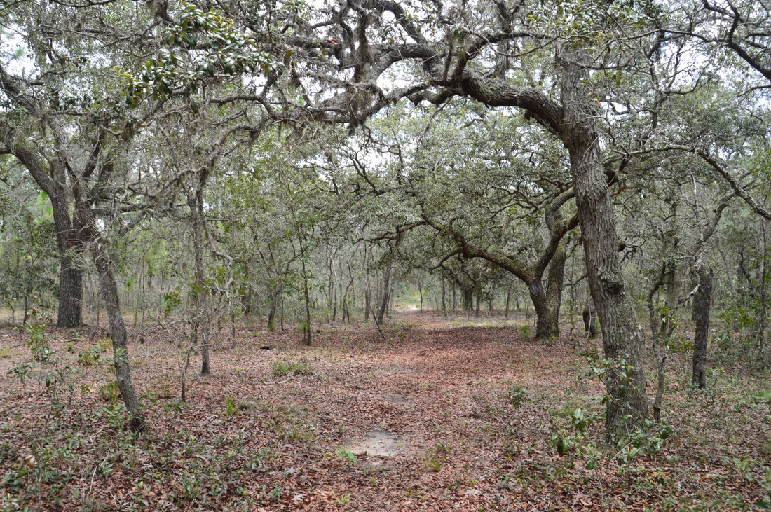
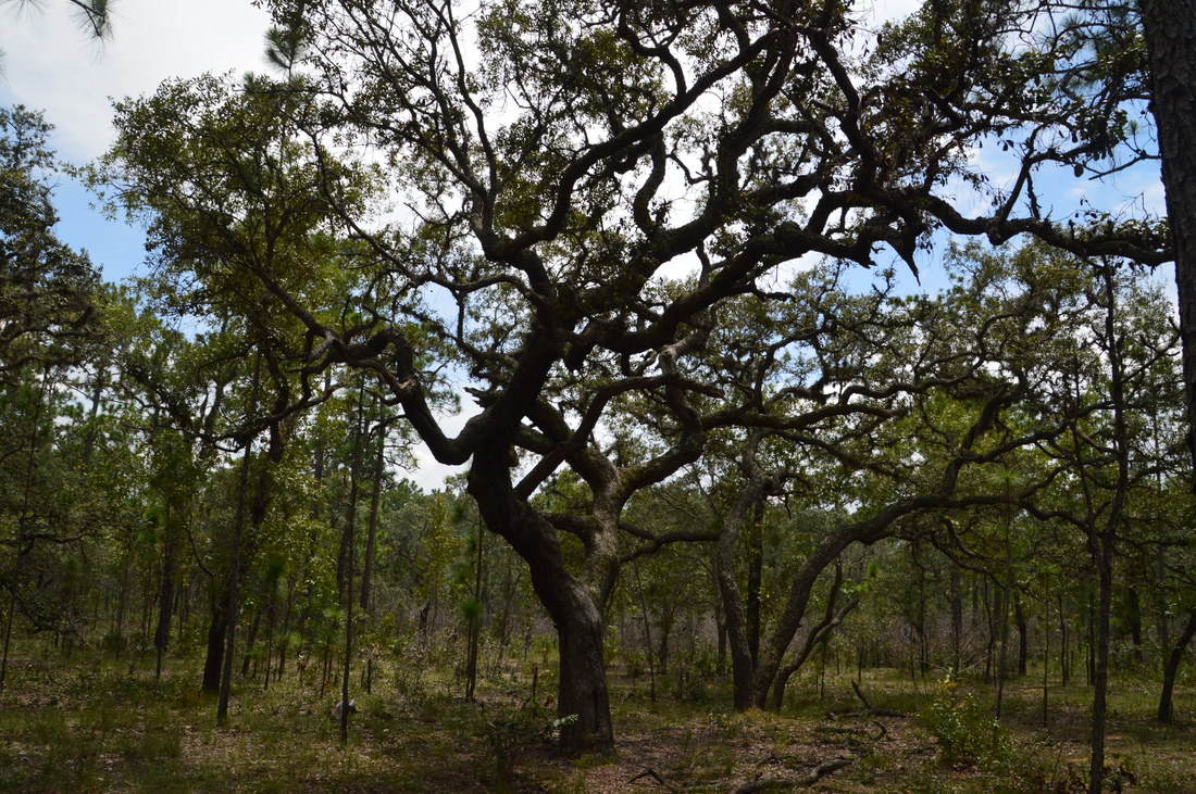
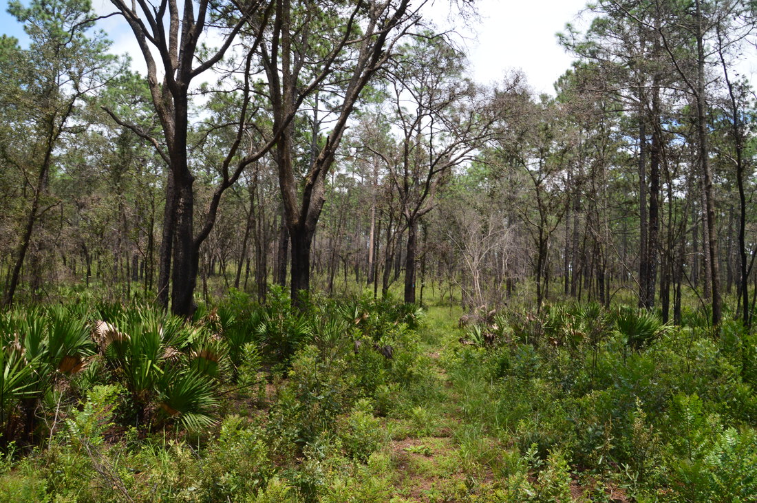
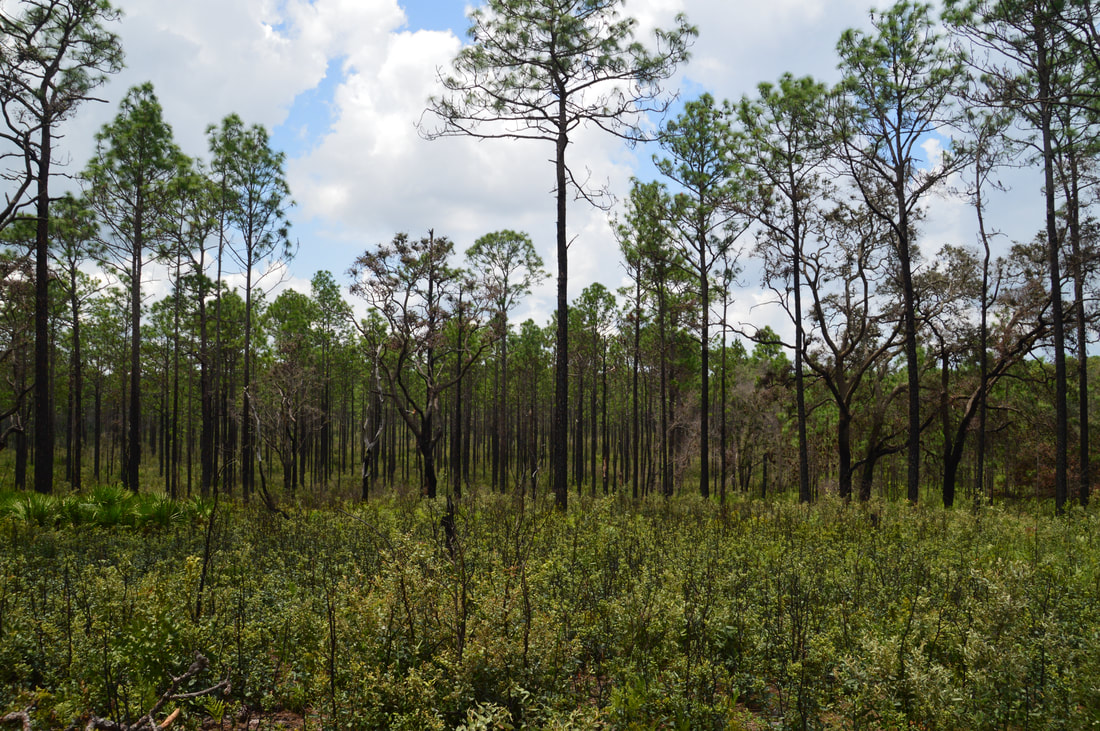
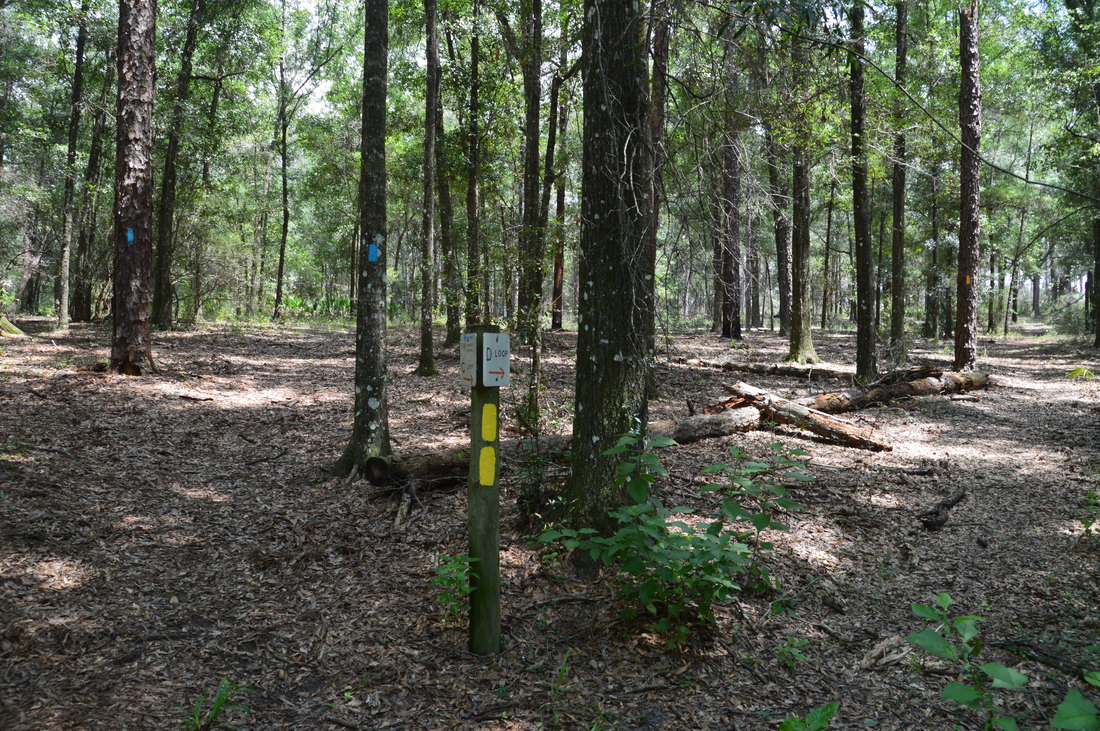
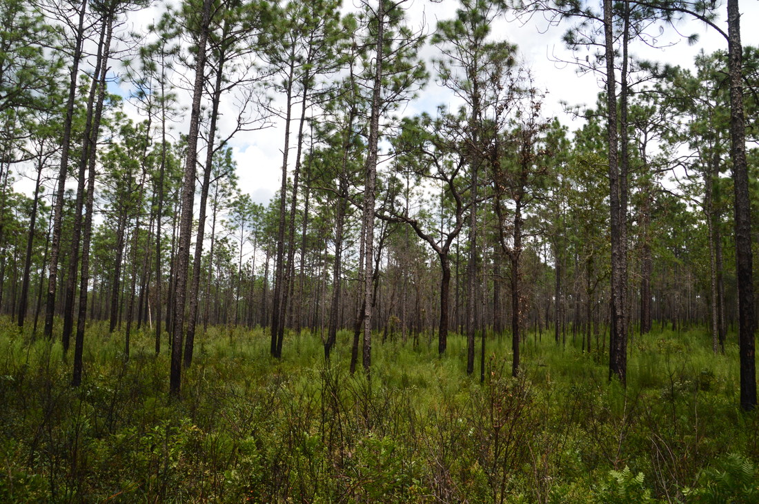
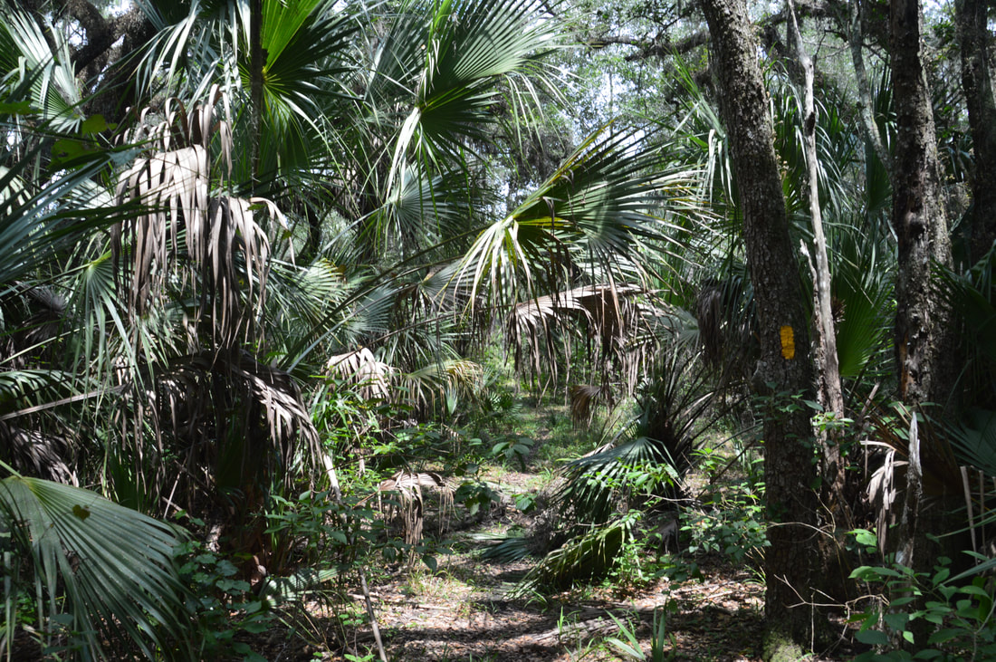
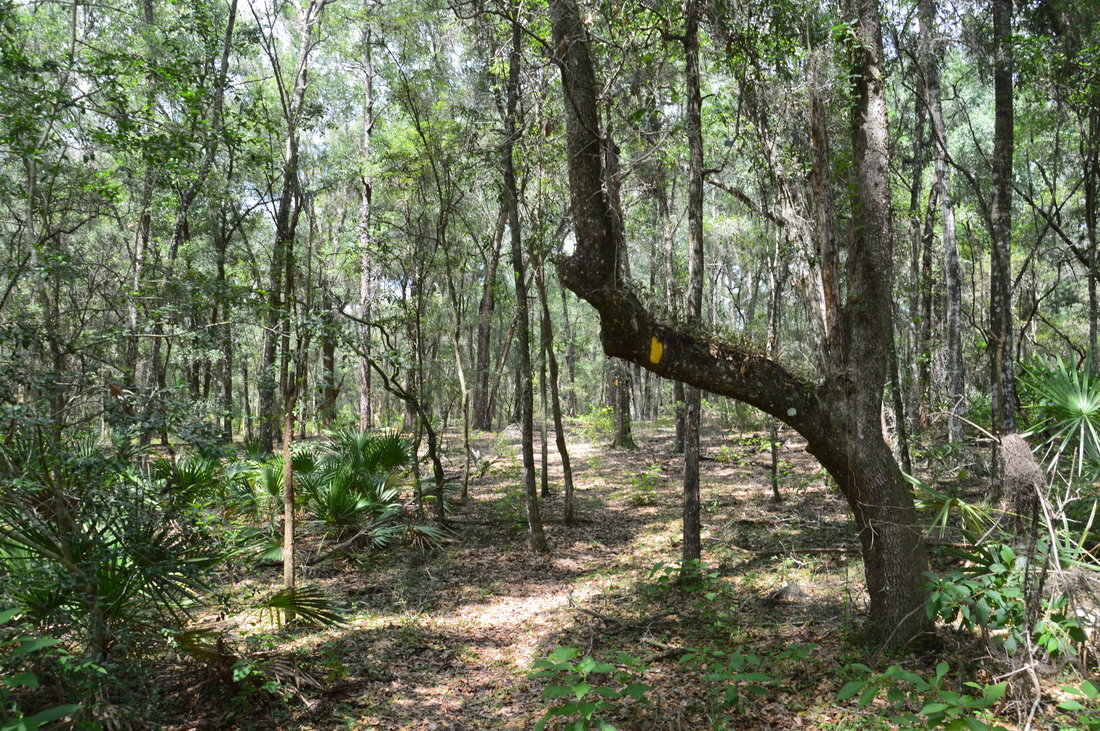
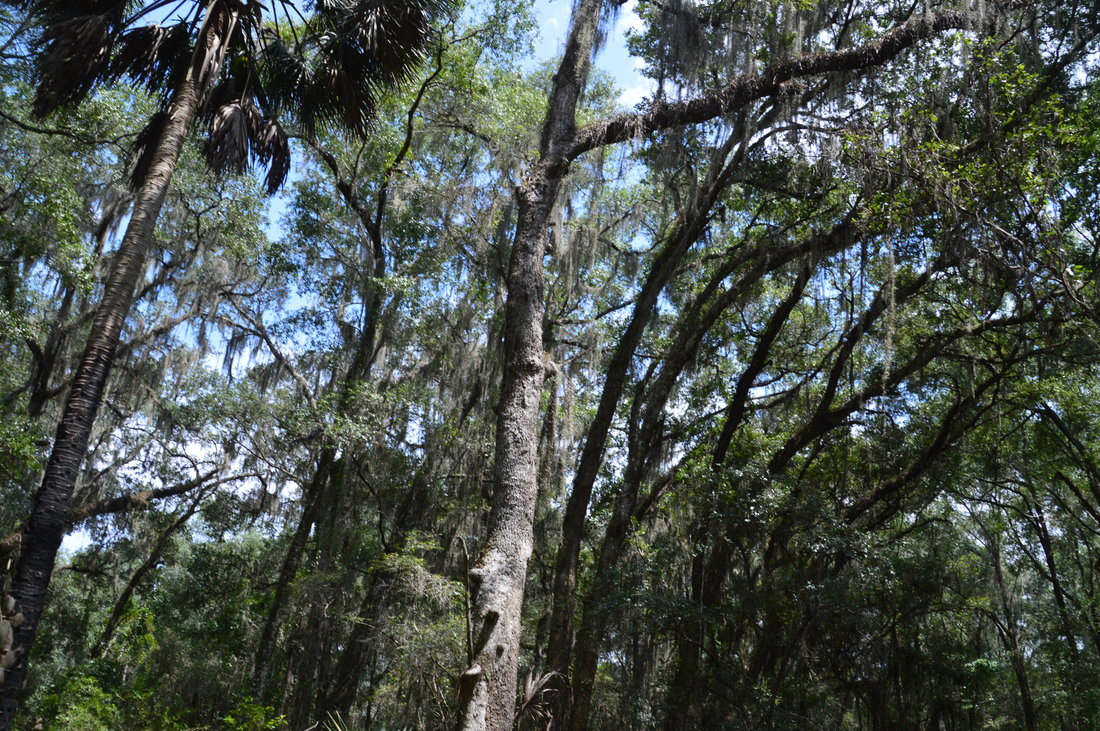
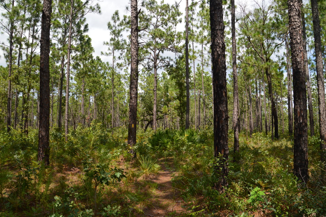
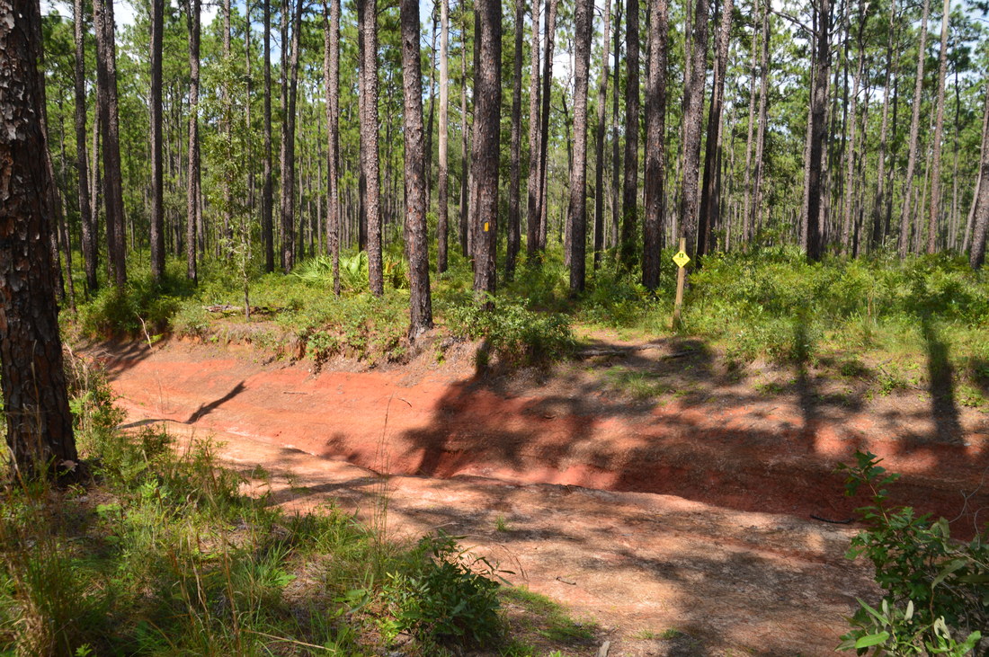
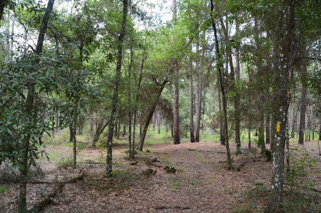
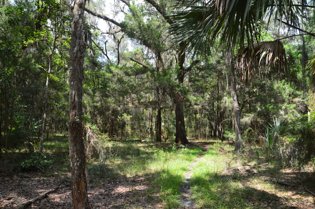
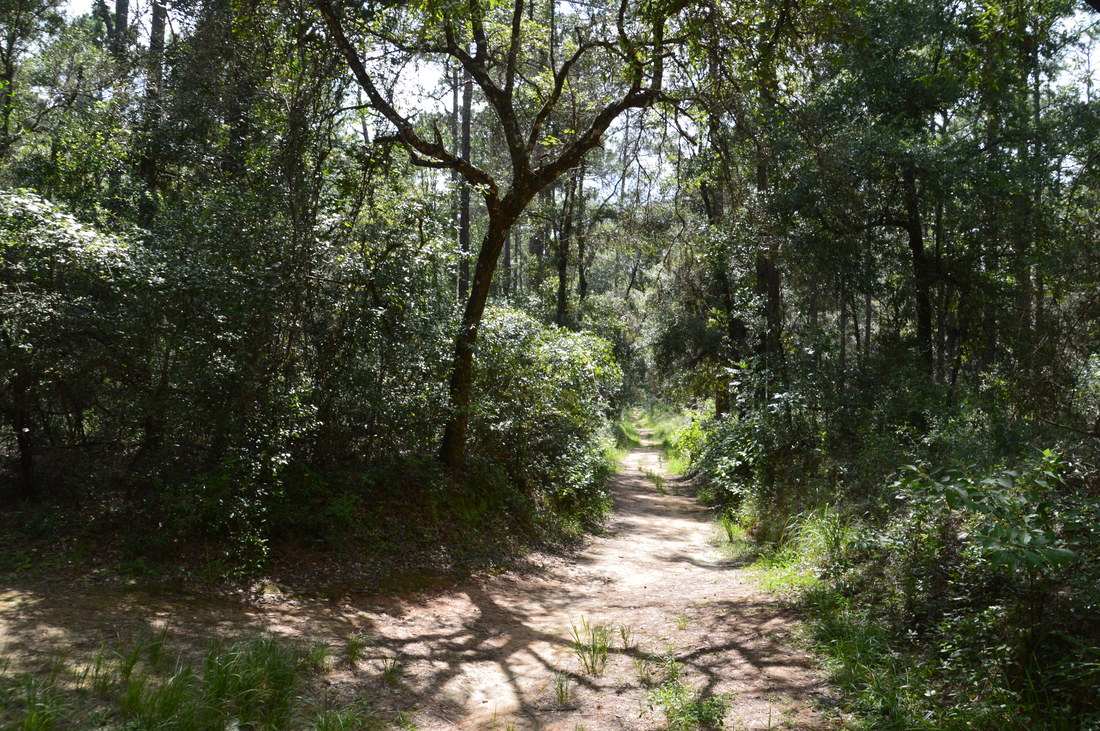
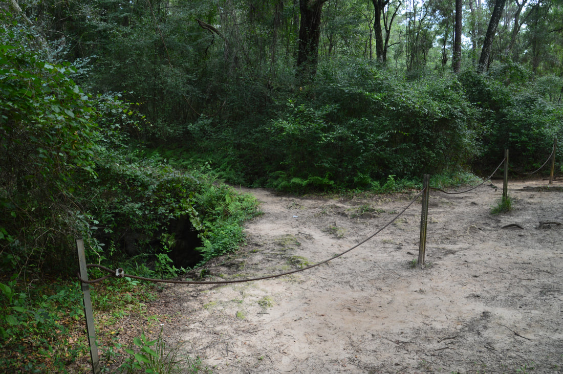
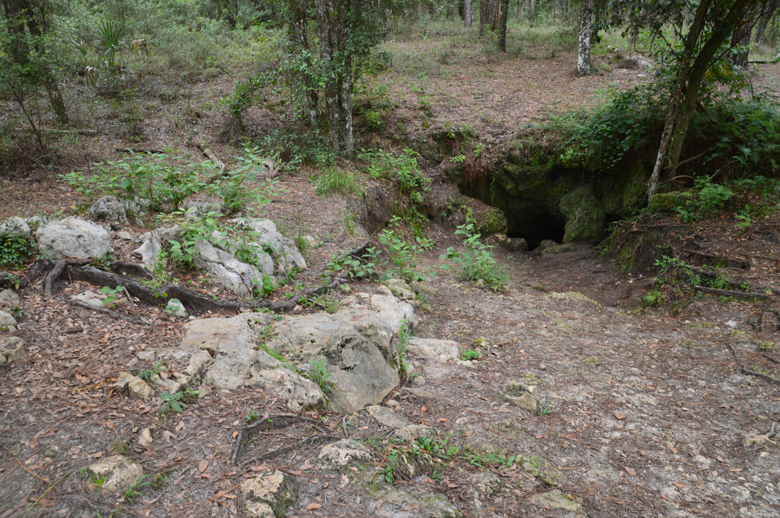
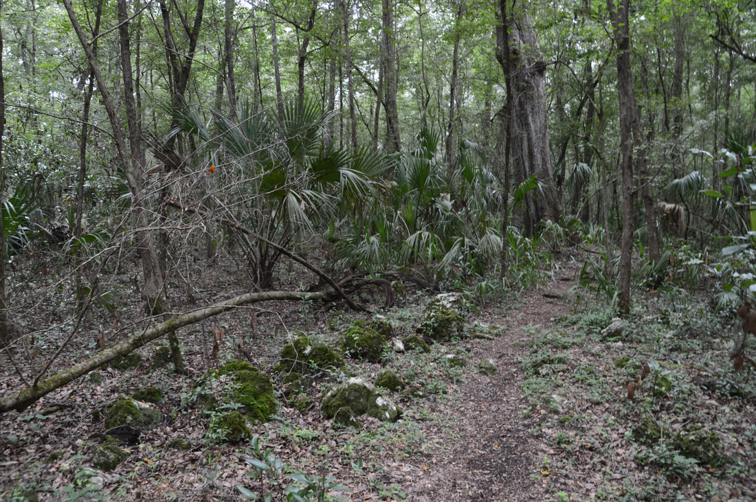
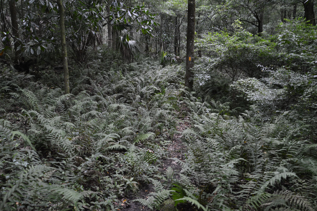
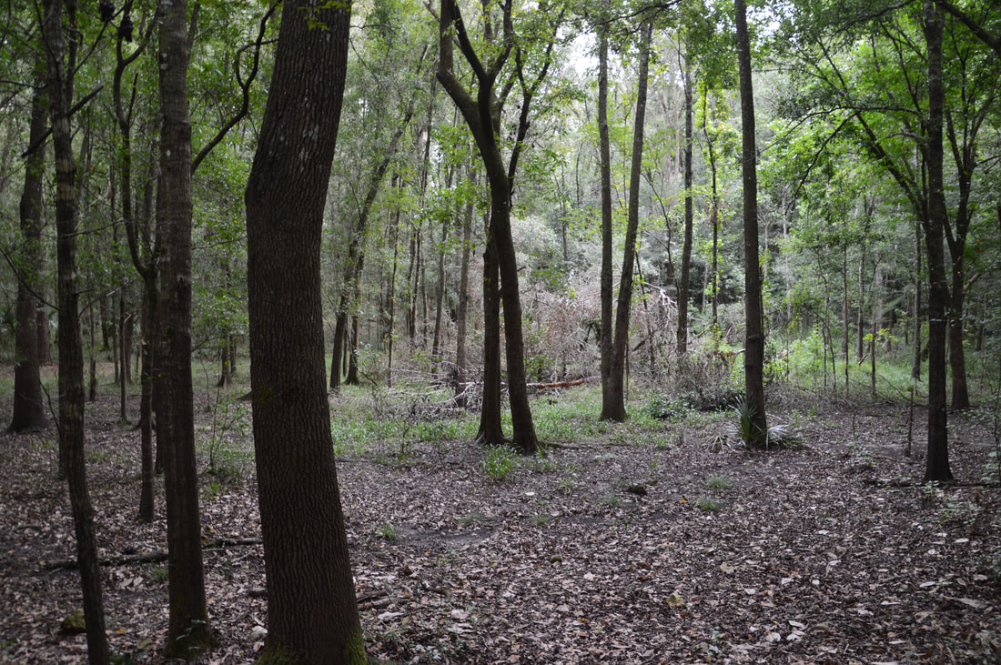
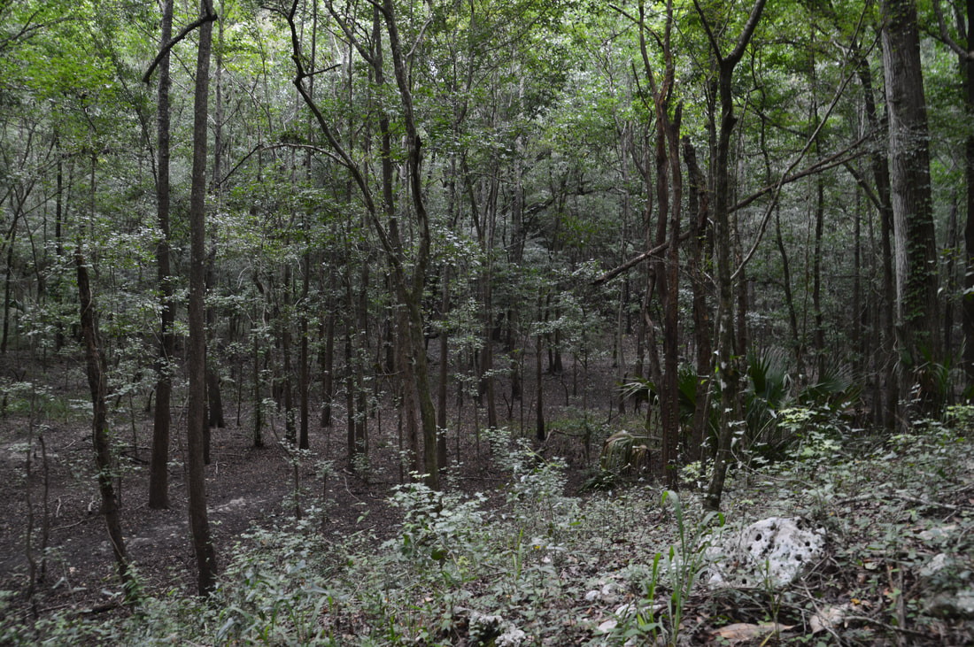
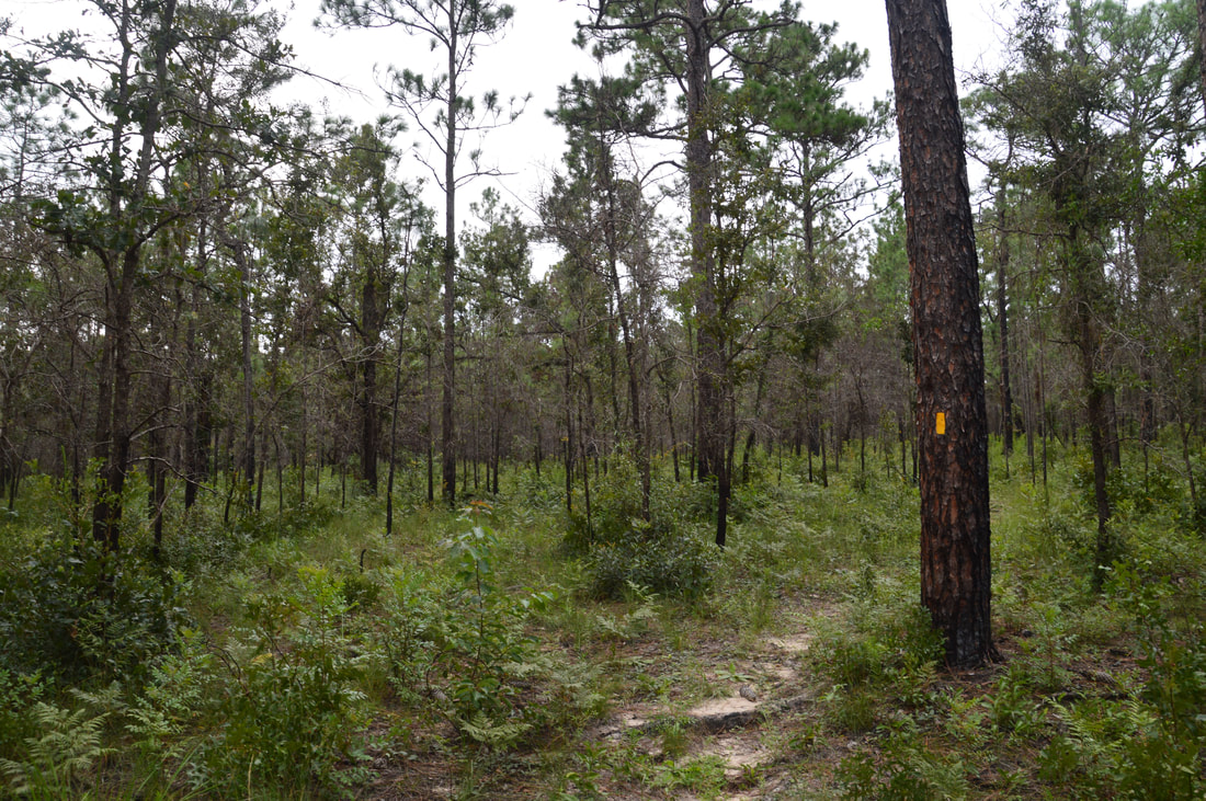
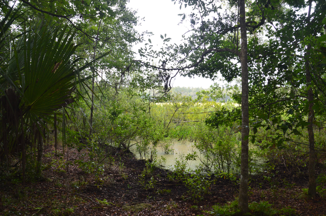
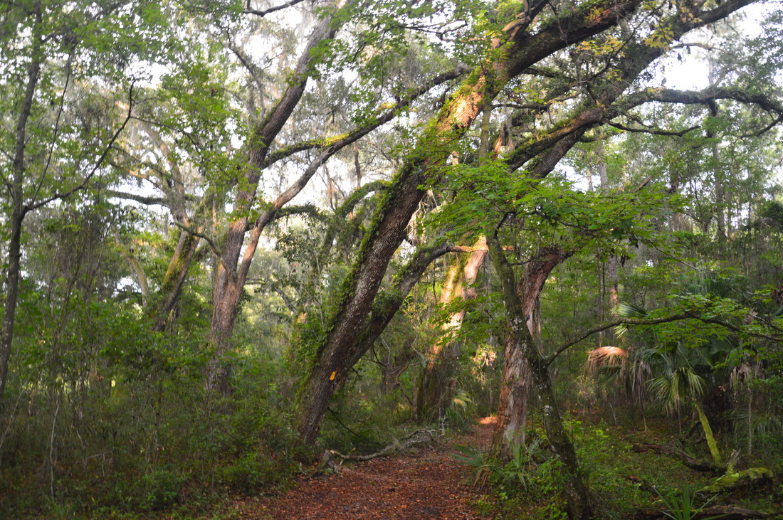
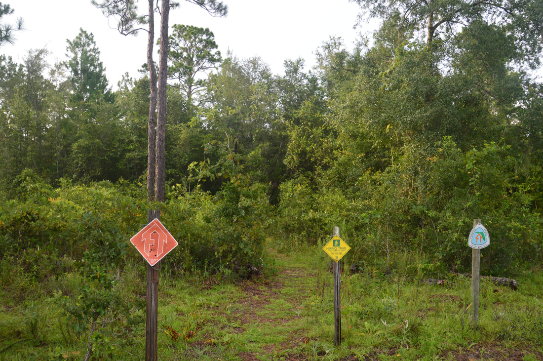
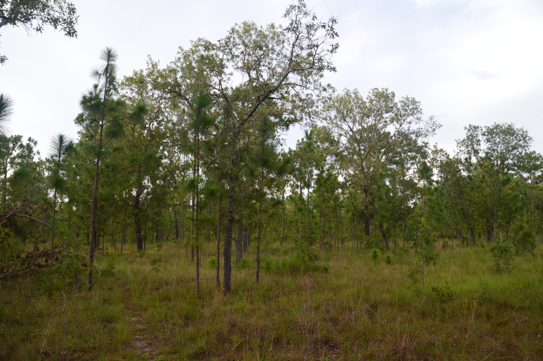
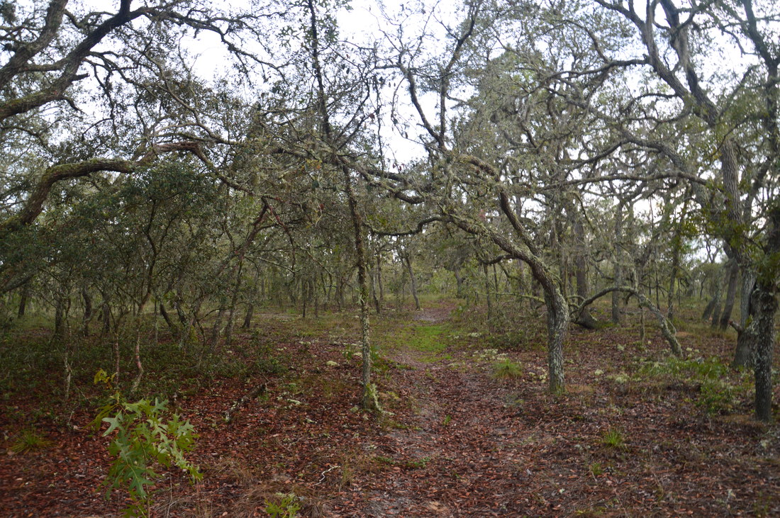
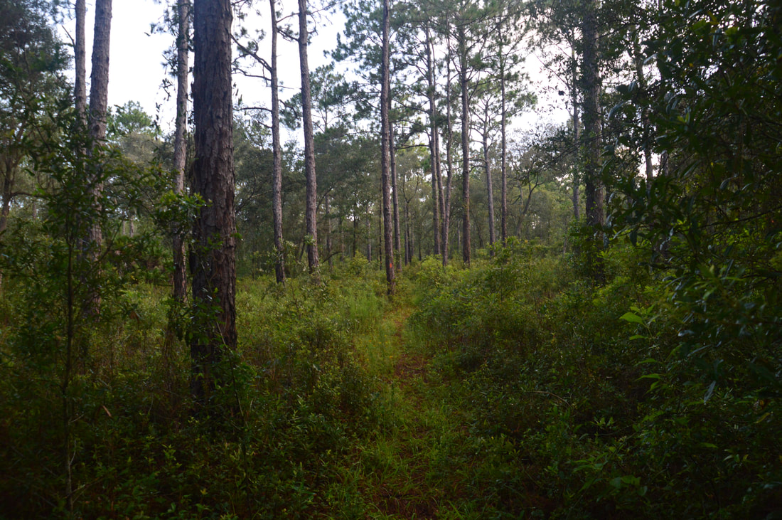
While there are many access points for the Citrus D Loop thanks to the Citrus Tract's extensive road network, I decided to begin the hike from Road 18 to place Dames Cave close to the halfway point. From the spot where the trail crosses Road 18, begin following the orange-blazed Citrus Trail northward into the sandhills. This part of the Citrus Trail is also part of the Florida Trail, which is why it is blazed orange - parts of the Citrus Trail not related to the Florida Trail are blazed yellow. After 0.25 miles, the trail reaches a signed intersection with the C-D Cross Trail, which is a blue-blazed connector trail that joins the two sides of the Citrus Trail near its south end and forms Loop D. Turn left onto the Cross Trail and hike westward along it, crossing several sandhills, numerous forest roads, and a few horse trails. Citrus Horse Trails are mostly blazed blue, although there are several other blaze colors as well. Horse trail blazes differ drastically from Citrus Hiking Trail blazes though, and the horse trails usually follow broad forest roads, so it should be easy to stay on the hiking trails. While most of the vegetation on the sandhills consists of pines with a shrubby understory, the trail does occasionally dip into more forested areas. At 2.05 miles, the Cross Trail ends at a signed junction with the west side of the Citrus Loop Trail. This part of the Citrus Trail isn't in the route of the Florida Trail, so it is blazed yellow. If you wish to hike Loop C, you would continue straight on the Citrus Trail here, but to hike Loop D, turn sharply left onto the Citrus Trail. The trail continues a similar pattern of ascending and descending sandhills and crossing horse trails and forest roads. At 2.75 miles, the Citrus Trail crosses Trail 13 - one of the Citrus Tract's main roads - after which it passes through a short but densely-wooded hammock. Another important road crossing, Road 20, comes at 3.95 miles. The last major road crossing before Dames Cave is at 4.4 miles - this road, Trail 15, is particularly eroded and did not appear to be suitable for a passenger vehicle. After this, the trail enters a more diverse and pleasant forest with oaks mixed with the pines. At 5.2 miles, the Citrus Trail crosses a broad double-track path/forest road, marked Road 22 on the map. This path leads to the must-see Dames Cave, and neither the path nor the junction are marked, so you have to pay attention. Turn right (west) on Road 22 (it is not open to vehicles) and continue for about 0.2 miles. You'll pass a couple of side trails to small caves and rock outcrops on the left before the trail reaches a broad flat at 5.4 miles to the left. Walk down the flat to a crude fence of sorts. Just past the fence is Dames Cave. 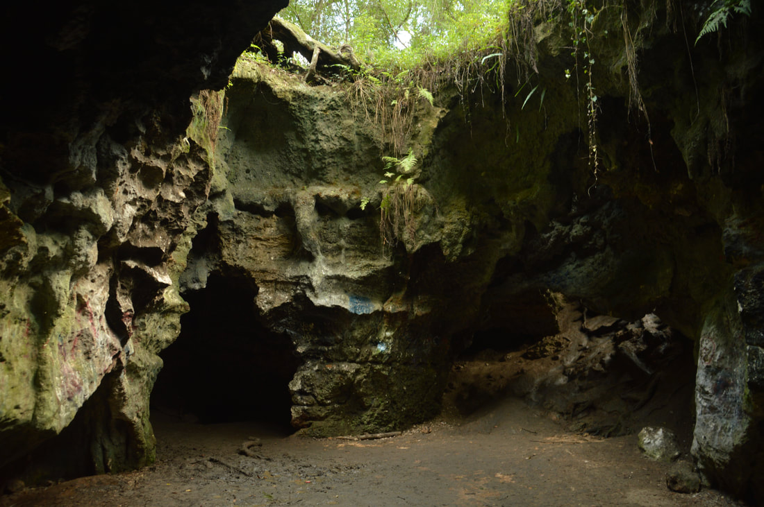
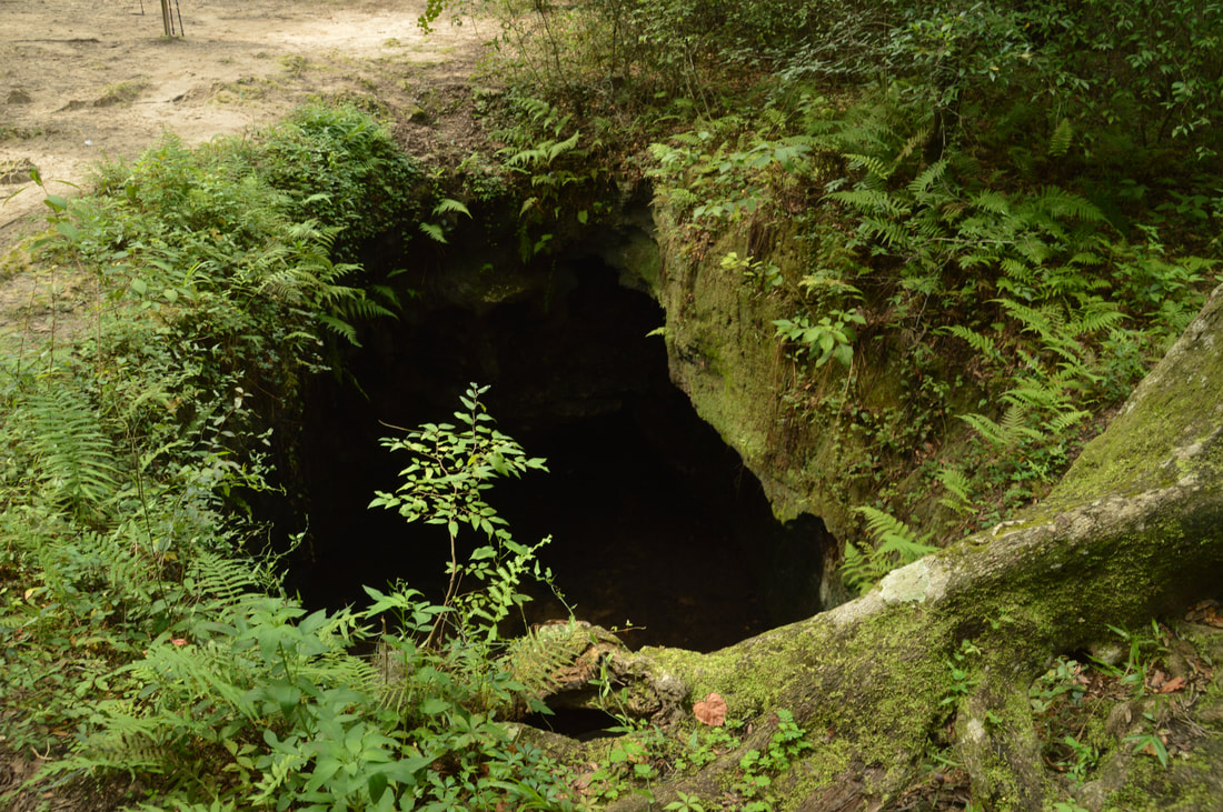
Dames Cave is one of Florida's most amazing natural features and is a great highlight of the Citrus Loop D.
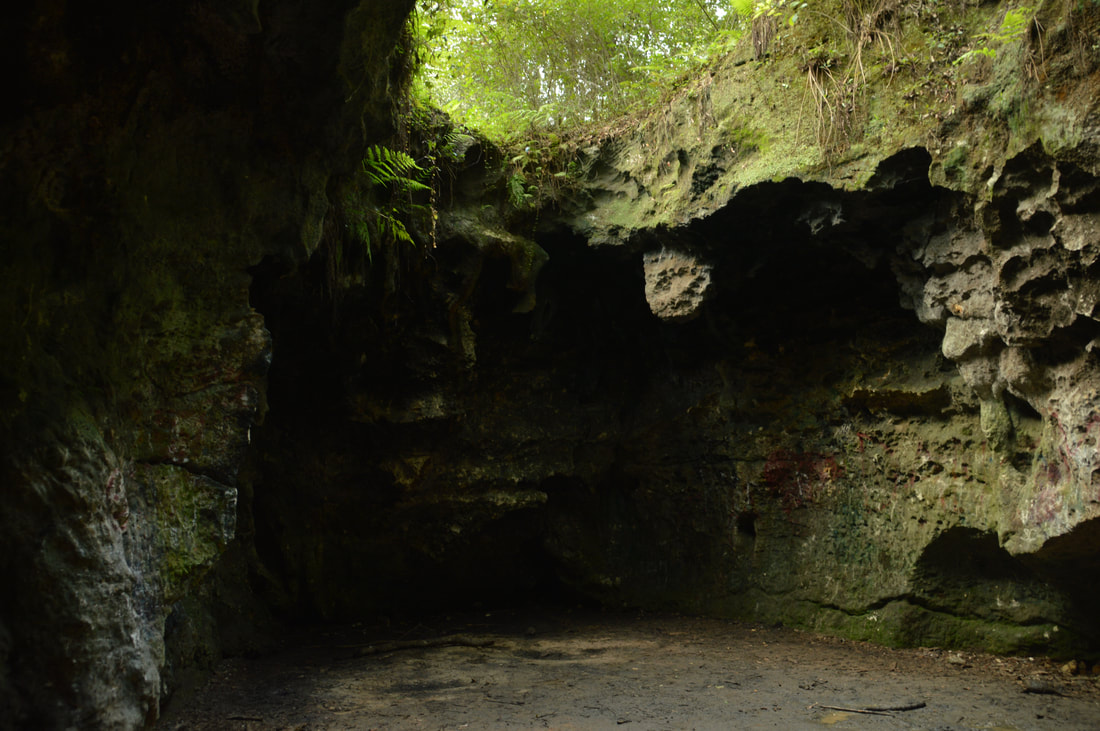
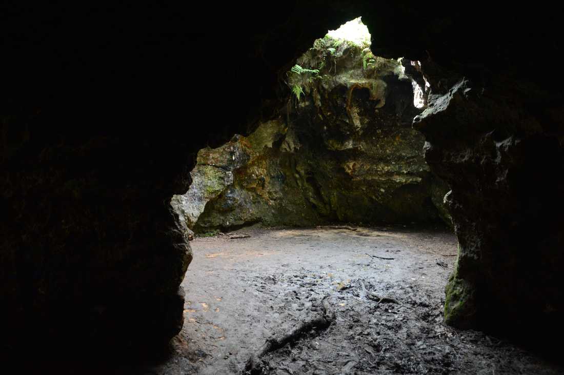
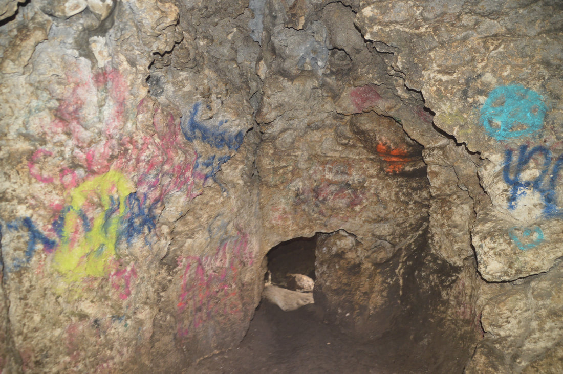
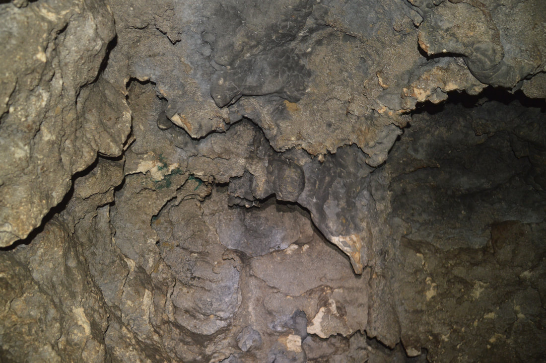
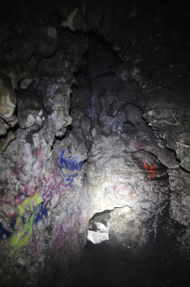
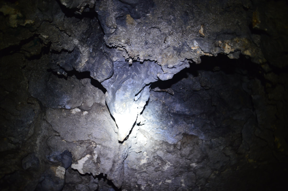
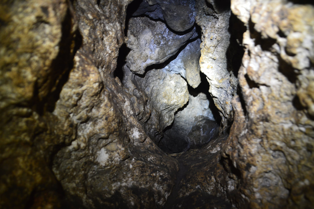
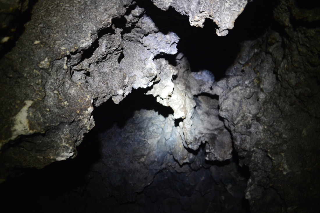
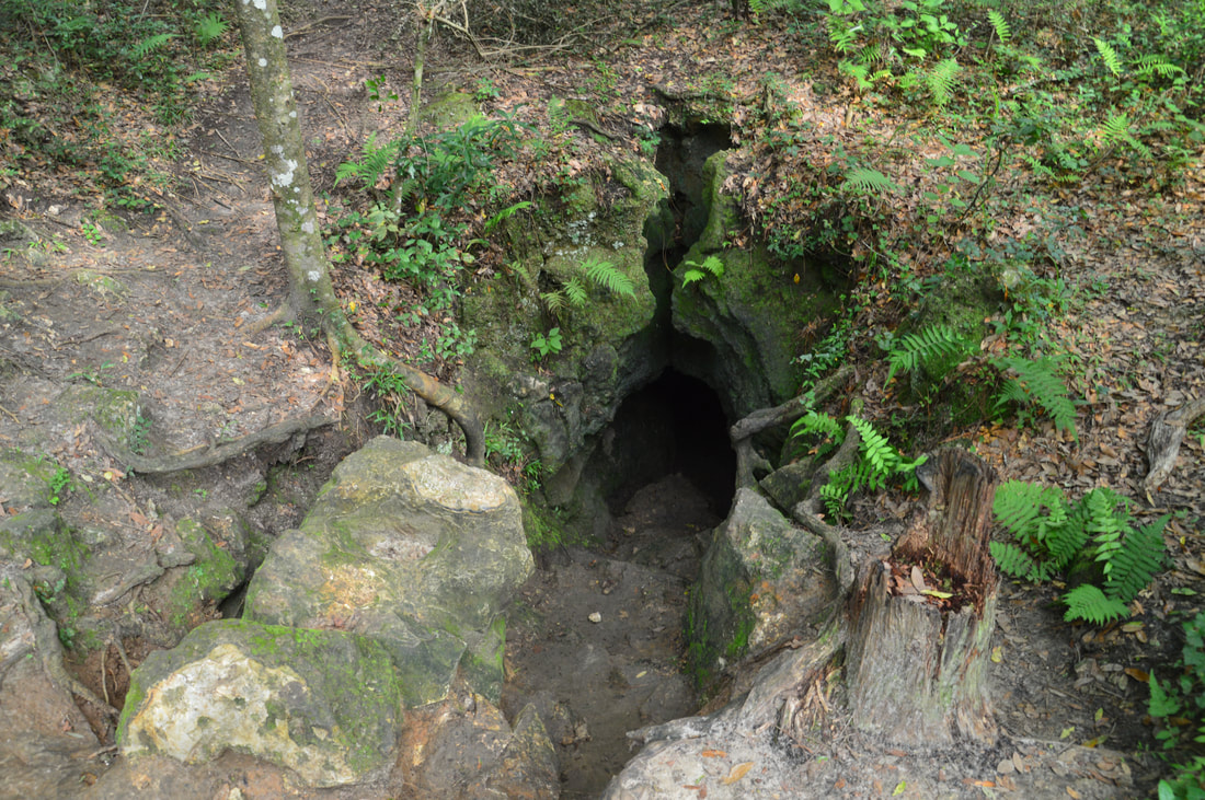
Directly in front of you is a chasm. Down below is the main open chamber of Dames Cave. Please refrain from approaching the edge, as there are sheer drop-offs on all sides and there is no way to get into the cave from this point. The view is unique, as the cave looks like a huge sinkhole with limestone walls from this point. To enter the cave, walk a few feet to the right and look for a much more gradually-inclined cave entrance. The scramble down involves a few rocks and roots, but it's fairly easy. One landmark that will help you to identify this spot is a large tree growing at the upper right-hand corner of the cave entrance. As you work your way into the cave, you'll actually pass under a rock formation that is sortof like a natural bridge. Once you reach the main open chamber with the 'skylight' at the top (the one you were looking at a few minutes earlier), the view will be spectacular, although keep in mind that this area can sometimes be muddy. Not on every hike in Florida will you find a place where you're surrounded by cliffs 20+ feet high. Plus, the cave also has a small inner chamber. To reach this chamber. turn right and walk a few feet down to a dark corner, where there will be a low passage on the left. You will have to bend pretty low to pass inside. The inner chamber is fairly small but very neat nonetheless. In some ways, it resembles a closed dome. Without a flashlight, you will not be able to see much in this inner chamber. Unfortunately, the walls of both chambers have been decorated with graffiti that detracts from the scene. Still, this spectacular cave is a place to linger and explore. A trailhead off County Road 491 (Lecanto Highway) provides easy access to the cave (only around a mile roundtrip). Demes Cave is kid-friendly, so you can also consider making a family outing to the cave via the short access. While there are several other caves in the area, including Peace Cave, I do not think that any are as impressive yet easy to explore as this one.
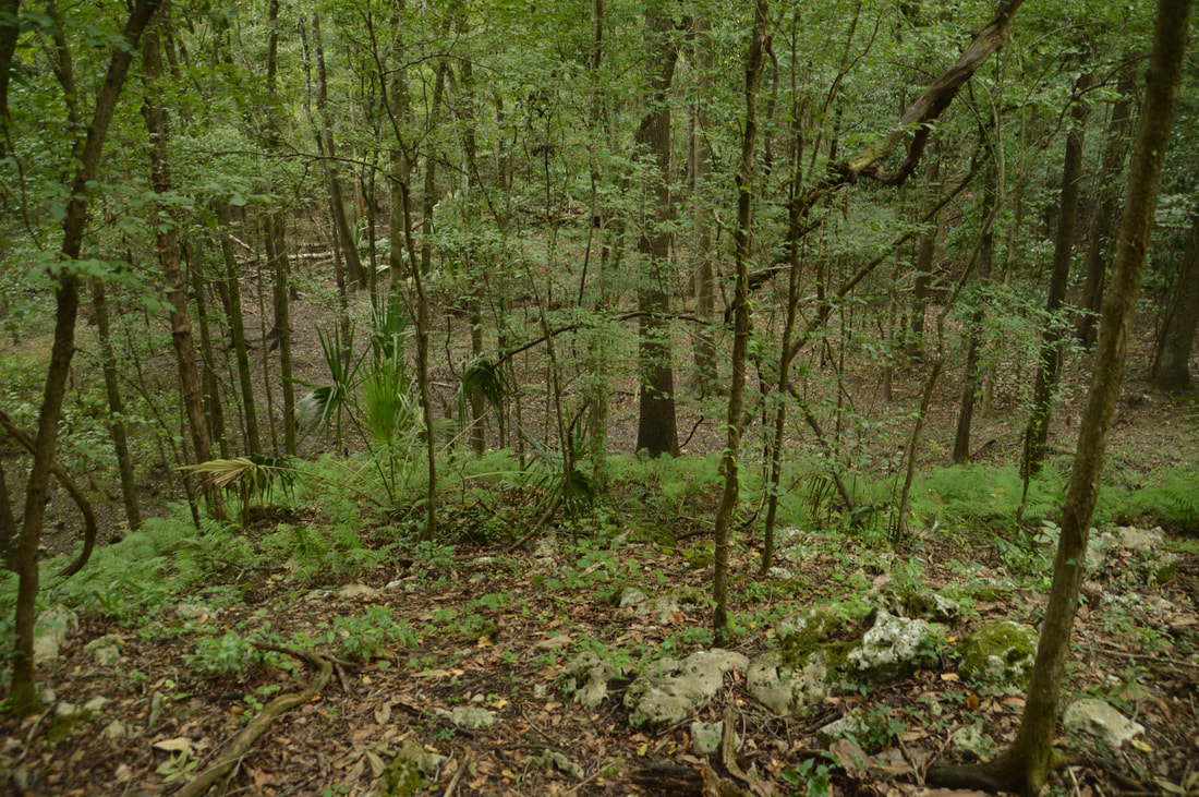
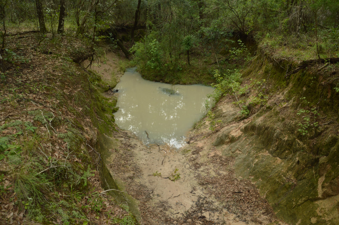
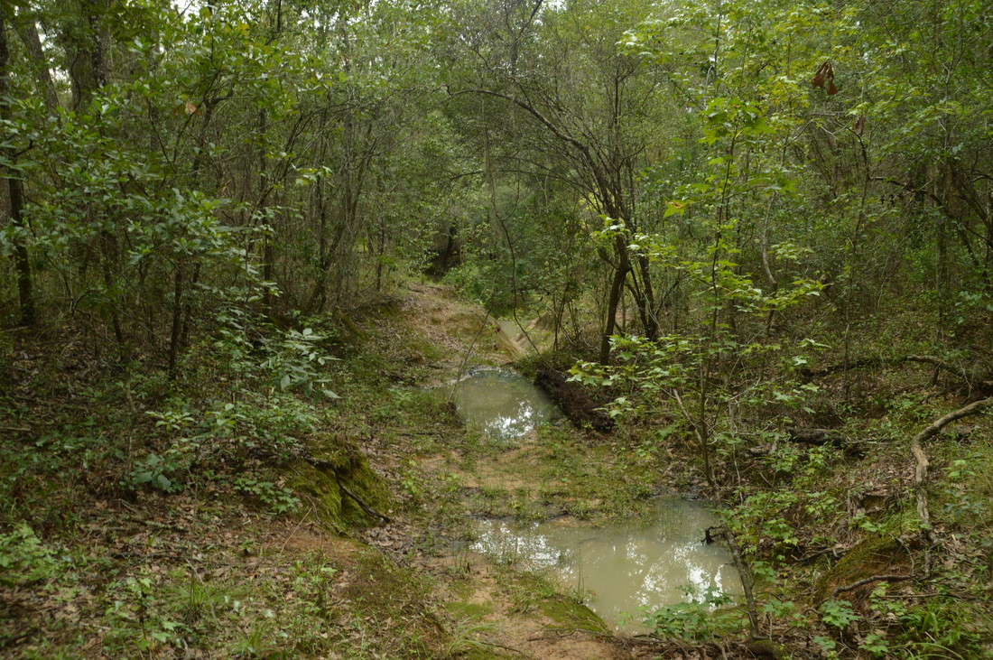
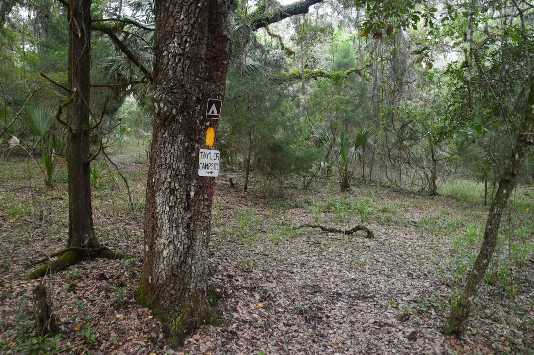
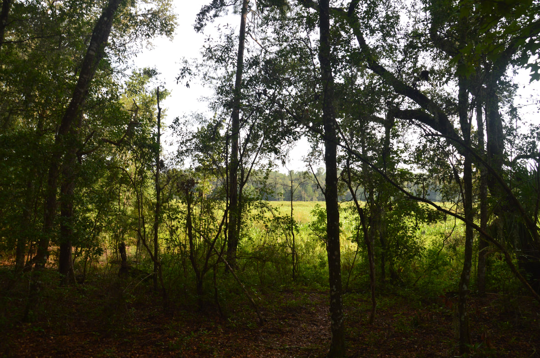
From Dames Cave, retrace your steps to the Citrus Trail and turn right to continue on the loop. A few feet past the junction is a set of neat rock outcrops and another small cave on the left. The trail crosses a small hill before beginning a relatively steep descent - longer than most on the hike - into the Lizzie Hart Sink area. Around 6.2 miles, there is a side trail on the left that leads to the edge of the broad sinkhole depression, but you can't see much from there. At the same time, the main trail becomes unusually rocky. The trail curves around the sinkhole depression, crosses an outflow streambed that is normally dry, and then rises up a slope on the east side of the depression, where the trail once again becomes very rocky by Florida standards and passes another small cave. Around 6.5 miles, there are some good views of Lizzie Hart Sink to the left, but the sink area is so broad that it is hard to judge how impressive it is. Much of the year, the sink is dry, although there is likely to be some standing water after heavy rainfall. A few feet farther, the trail makes a sharp right turn and leaves the sinkhole area. An obscure sink called Brush Sink will be on the right around 7.1 miles. The Citrus Trail crosses Road 15 again and makes a south turn as it re-enters the pine sandhills. At 7.7 miles, the trail crosses paved County Road 480. The trail meanders through more sandhills past the road before reaching an interesting sight at 8.25 miles: a very eroded intermittent streambed. The streambed with pools of standing water kindof looked like a sinkhole and was pretty unique. The trail crossed the streambed in a flat and dry spot just above the eroded area. I suspect that if you're hiking the trail in or right after a deluge, this could become a wet crossing, but normally, it's dry. The trail stays near the streambed for a bit but eventually turns east and leaves it. At 8.75 miles, the Citrus Trail crosses Brittle Road. On the other side, there is a small parking area that is the most common starting point for folks who wish to hike Loop D. Then, the trail passes a short signed side trail on the right to Taylor Campsite at 9.05 miles. After a fairly monotonous stretch, the trail crosses another forest road at 9.9 miles and begins following Stage Pond, which is on the left. Most of the time, Stage Pond is simply an overgrown marsh. The Citrus Trail actually joins a broad forest road for most of its track along the pond, leaving the road just before a second crossing of County Road 480 at 10.55 miles. On the other side of the road, the trail blazes change from yellow to orange again as the Citrus Trail once again joins the official Florida Trail route. 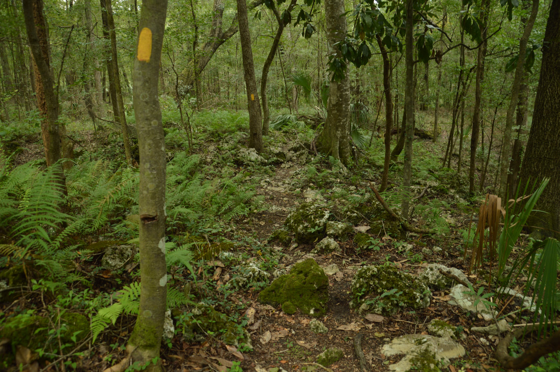
The Citrus Trail becomes unusually rocky in the vicinity of Lizzie Hart Sink.
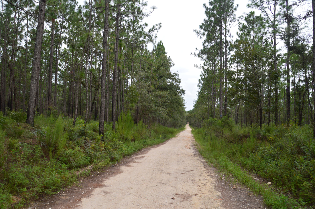
On the north side of County Road 480, the Citrus Trail once again enters the piney sandhills. These last few miles to the trailhead generally have the same scenery, with three drivable forest road crossings (Road 22, Road 11, and Road 20) and numerous horse trail crossings. FTA signs designate most of the crossings. The terrain is less hilly than on the west side of the loop, but there are still a few notable uphills on this section. At 13.6 miles, the Citrus Trail reaches Road 18 exactly opposite the sign where you began your hike much earlier in the day. This is where the hike concludes, as your car is a few feet to the right of the road crossing.
The Citrus Loop D has a number of things that make it attractive. It is a trail that is unusually hilly for Florida and can be great for hikers looking for a tougher-than-normal workout or maybe even for folks looking to train for mountain hiking. The trail is also essentially dry year-round, making it a good choice in the summer for those who will brave the heat. In addition, the Citrus Loop D passes by one of Florida's most unique and breathtaking natural sights: Dames Cave. The only drawback is that there are several lengthy sections that are quite monotonous. Overall, I highly recommend this trail to all area hikers. Mileage
0.0 - Road 18 Trailhead
0.25 - Begin C-D Cross Trail 2.05 - End C-D Cross Trail 5.4 - Dames Cave 6.5 - Lizzie Hart Sink 7.7 - CR 480 Crossing 1 8.25 - Unique Intermittent Stream 8.75 - Brittle Trailhead 9.05 - Taylor Campsite 9.9 - Stage Pond 10.55 - CR 480 Crossing 2 13.6 - Road 18 Trailhead Variations
Hike to Dames Cave out and back from Road 18 Trailhead via C-D Cross Trail - 10.8 Miles
Bonus Stops
After exploring the Citrus Trails, consider doing another of the Brooksville area's beautiful hikes: the Weeki Wachee Preserve trails, which lead past a series of photogenic blue lakes.
PicturesVideos
9 Comments
Frog
9/4/2017 08:38:00 pm
Mark, thanks for the excellent description, I used to go to this place back in the late 70s I don't remember what we called it but we called the area Crooms I have been looking for it since 1991! I'm planning a little recon back out there thanks again
Donald Biden
3/28/2023 01:23:46 pm
Your post makes no sense, please re-evaluate your entire life. Also the author seems like a fruit cake
Amanda swiderek
1/10/2018 08:24:28 am
Excellent, detailed and informative webpage! I have hiked sections before and after reading this, I'm headed back this weekend.
Adolf Mousalini
3/28/2023 01:25:38 pm
Amanda, your name sounds hot. Would you be into a romantic encounter deep in the caves? I got my boy scouts badge in spelunking ;)
Charles Hilston
3/25/2020 10:34:32 am
Hello-
Big foot
3/28/2023 01:32:41 pm
Please go directly into the forest beginning of Jan. Be sure to wear a furry jacket, and if you a have a hat resembling deer antlers it will help you feel more at one with nature. Go ahead and practice your deer calls too!
Lance
3/28/2023 01:34:02 pm
It’s lance again, I’ll confess…. I don’t know how to read 3/28/2023 01:28:08 pm
Nobody cares about your bio, Mark. Stop giving away Florida’s secrets to all the come-here’s and the Yankees. Leave a Reply. |
About MeMark Oleg Ozboyd Dear readers: I have invested a tremendous amount of time and effort in this website and the Georgia Waterfalls Database the past five years. All of the work that has gone in keeping these websites updated with my latest trip reports has almost been like a full-time job. This has not allowed me to pick up a paid job to save up money for college, and therefore, I I've had to take out loans. If you find the information on this website interesting, helpful, or time-saving, you can say "thanks" and help me out by clicking the button above and making a contribution. I will be very grateful for any amount of support you give, as all of it will apply toward my college tuition. Thank you!

Coming in 2022-2023?
Other Hiking WebsitesMiles HikedYear 1: 540.0 Miles
Year 2: 552.3 Miles Year 3: 518.4 Miles Year 4: 482.4 Miles Year 5: 259.9 Miles Archives
March 2021
Categories
All
|
||


 RSS Feed