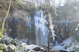
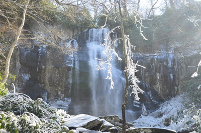
The Citico Creek Wilderness is one of the wildest areas in southeast Tennessee. A network of trails provides foot access into the pristine watershed. Falls Branch Falls, located at the head of a remote valley on a tributary of South Fork Citico Creek, is the tallest waterfall in the Citico Creek Wilderness. From the Cherohala Skyway, take a short trail into the Falls Branch Scenic Area and through an old-growth forest to Falls Branch and the 80-foot falls. This hike occurred on Saturday, February 27, 2016. My plan was to hike the Falls Branch Falls Trail out and back from the Cherohala Skyway to Falls Branch Falls. After this short hike, I would drive to nearby Beech Gap on the Cherohala Skyway and complete a longer hike, detailed in a separate trail report.
Summary
R/T Length of Trail: 2.7 Miles
Duration of Hike: 1:40 Type of Hike: Out and Back Difficulty Rating: 4 out of 10 Total Elevation Gain: 699 Feet Pros: Most of the trail follows an old forest road, and that is the reason that this hike is relatively easy for casual hikers. Most hikes in this area are not as easy. Cons: The last section of the trail as it descends to Falls Branch is steep and rough Points of Interest: Falls Branch Falls - 8 stars; Old growth forest near Falls Branch Trail Blaze Color(s): Falls Branch Trail - White Best Season(s) to Hike: Spring Fees: None Beginning Point: West Rattlesnake Rock Trailhead on Cherohala Skyway Directions: From Tellico Plains, TN: Follow Cherohala Skyway (TN Route 65) East for about 22 miles out of Tellico Plains, until you see a sign for "<-- W Rattlesnake" with a hiker symbol. Then, turn left and pull into the parking area at West Rattlesnake Rock Trailhead. Map
Click here for more information and to download this trail map to view in Garmin Basecamp.
Details
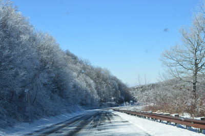
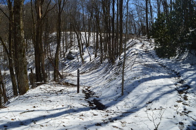
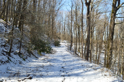
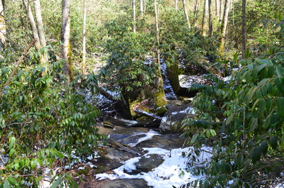
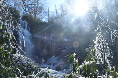
The Cherohala Skyway is a scenic parkway that travels for over fifty miles across the Unicoi Mountains of eastern Tennessee and western North Carolina. A number of trails leave the parkway to the north and south, Most of the trails are difficult and often overgrown. Falls Branch Trail is an exception - this popular trail is shorter than most in the area. It follows an old forest road for most of the time, before descending steeply into the Falls Branch valley where a spectacular waterfall awaits. When I did this hike, much of it was covered by light coating of snow, making the scenery more picturesque.
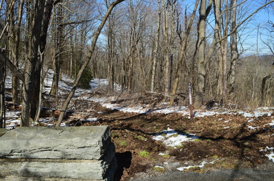
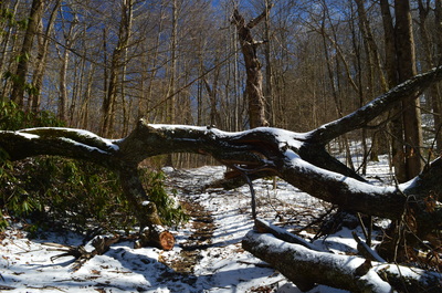
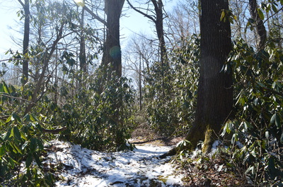
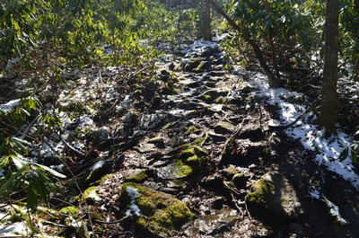
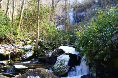
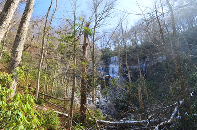
A path leaves the lower end of the parking area at West Rattlesnake Rock Trailhead. The path is actually two trails: Falls Branch Trail (#87) and Jeffrey Hell Trail (#196). I started down the joint trail, muddy from melting snow, to shortly enter the Citico Creek Wilderness and reach a junction. This is where the Jeffrey Hell Trail makes an acute right turn and aims for South Fork Citico Creek, while the trail that I was planning to hike, Falls Branch Trail, veered left. Begin descending along an old forest road with some winter views of the Falls Branch valley to the right. The descent lasts the entire trail, but as long as you're following the forest road, it will not be steep. At 0.6 miles, an overgrown forest road comes in from the left. This forest road leads to the Cherohala Skyway (visible through the trees), where the original trailhead for the Falls Branch Trail was. However, this access point was closed, and now the hike to Falls Branch Falls is slightly longer than it used to be. Keep right and continue following the forest road downhill. At 0.8 miles, curve around the uppermost end of the Laurel Branch drainage. At 0.9 miles, pass a blowdown and make a right turn. This is where you leave the forest road (that continues downhill) and take a singletrack trail that briefly ascends to a gap. After this, enter an area of old growth forest and begin descending steeply into the Falls Branch valley. Shortly, join a small stream and descend along the course of the stream. This section will be quite the ascent on your way back - luckily, it isn't long. After leaving the streambed, descend some more, make a short scramble, and reach Falls Branch at 1.25 miles. You can see Falls Branch Falls upstream, but to get a better view of the falls, you must cross the stream. This should be a dry feet crossing most of the year, but take care on the slick rocks when crossing. On the other side of the stream, pass between two boulders, and then turn right and ascend along Falls Branch. At 1.35 miles, reach Falls Branch Falls. here, from the left side of the creek, there is a great view of this beautiful 80-foot singledrop waterfall. Large boulders line the creek below the waterfall. To get the best view of the waterfall, you would have to walk out onto the rocks in the middle of the creek, but I decided to not do that, as the rocks were icy and looked very slippery. Falls Branch Falls is the end of the Falls Branch Trail - you must backtrack to the Cherohala Skyway. The return route will be a bit more difficult, as most of it is uphill. Finish the hike at West Rattlesnake Rock Trailhead at 2.7 miles. Mileage
0.00 - West Rattlesnake Rock Trailhead
0.05 - Bear left on Falls Branch Trail 0.60 - Bear right, overgrown old access comes in from left 0.90 - Turn right off the old forest road 1.25 - Cross Falls Branch 1.35 - Falls Branch Falls 2.70 - Return to West Rattlesnake Rock Trailhead Variations
None
Bonus Stops
Considering hiking one of the other trails in the area, such as the Bald River Trail or Forest Road 217H and Bob Bald Connector to Bob Bald.
PicturesVideos
0 Comments
Leave a Reply. |
About MeMark Oleg Ozboyd Dear readers: I have invested a tremendous amount of time and effort in this website and the Georgia Waterfalls Database the past five years. All of the work that has gone in keeping these websites updated with my latest trip reports has almost been like a full-time job. This has not allowed me to pick up a paid job to save up money for college, and therefore, I I've had to take out loans. If you find the information on this website interesting, helpful, or time-saving, you can say "thanks" and help me out by clicking the button above and making a contribution. I will be very grateful for any amount of support you give, as all of it will apply toward my college tuition. Thank you!
Coming in 2022-2023?
Other Hiking WebsitesMiles HikedYear 1: 540.0 Miles
Year 2: 552.3 Miles Year 3: 518.4 Miles Year 4: 482.4 Miles Year 5: 259.9 Miles Archives
March 2021
Categories
All
|

 RSS Feed