
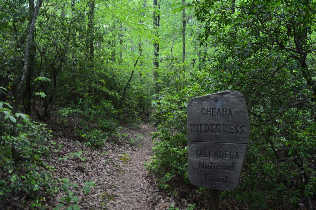
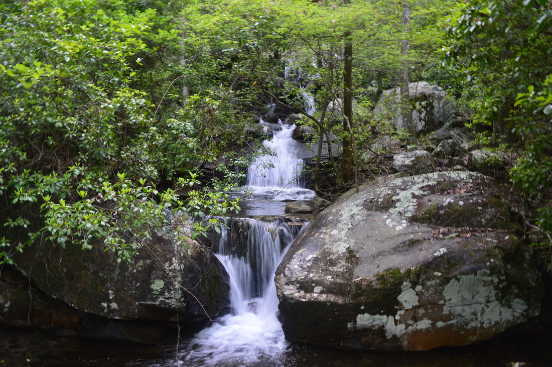
Mill Shoals Creek, flowing off the eastern fringe of Talladega Mountain, is home to two of the few water features in the Cheaha Wilderness part of Talladega National Forest. Once you cruise past the two waterfalls, start on a clockwise loop that will take you through thickets of mountain laurel, through boulder fields, and pass grand rock cliffs, before reaching the grand destination - a beautiful vista on a rock outcrop which provides unobstructed views westward into the heart of Alabama. Finish the loop with some boulder field hiking and back down Mill Shoals Creek. This hike occurred on Sunday, April 24th, 2015. My plan was to hike the Nubbin Creek Trail to its terminus at the Odum Scout Trail. From here on, I'd turn right and take the Odum Scout Trail to its terminus at the Pinhoti Trail. Next, I would turn right and take the Pinhoti Trail to the Cave Creek Connector. Then, I would turn right onto Cave Creek Connector, connect to Cave Creek Trail, and turn right to follow the Cave Creek Trail to its terminus back at the Nubbin Creek Trail. I would finish the hike by returning the way I came on Nubbin Creek Trail.
R/T Length of Trail: 10 Miles
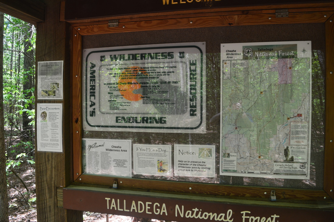
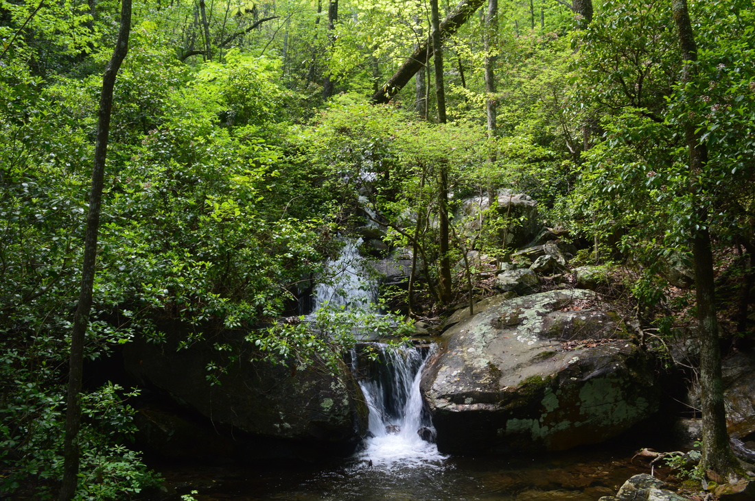
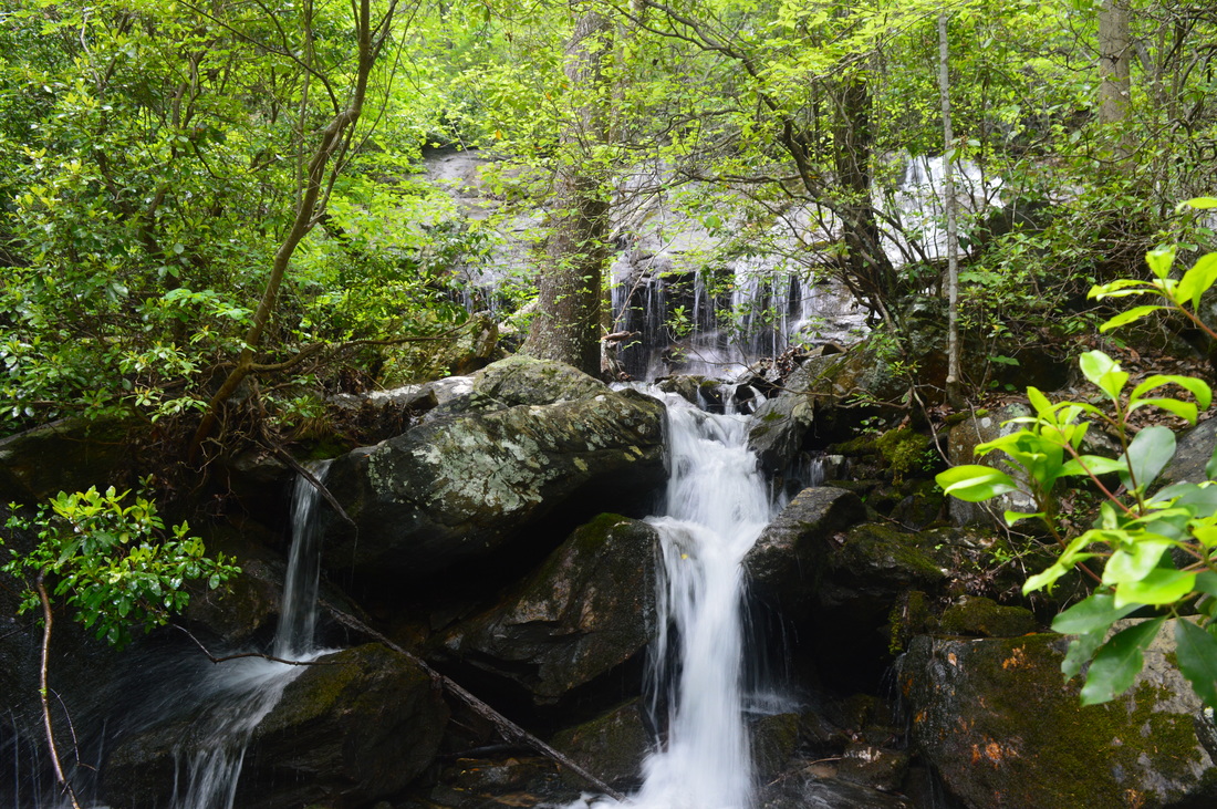
Duration of Hike: 6:15 Type of Hike: Lasso Difficulty Rating: 5 out of 10 Pros: Generally easy ascent; all crossings easily made; well-seen and maintained trail for a wilderness standard Cons: Overgrown/easy-to-miss spur trail to Mill Shoals Cascades; views of Mill Shoals Cascades and the Upper Falls too are limited when there are leaves on the trees Scenic Views: Pinhoti Trail Vista - 7 stars Water Features: Mill Shoals Cascades - 4 stars (best in winter); Upper Falls on Mill Shoals Creek - 5 stars (again best in winter) Trail Blaze Color(s): Nubbin Creek Trail - some faded Blue; Odum Scout Trail - Black/Dark Gray; Pinhoti Trail - Light and Dark Blue; Cave Creek Connector - None; Cave Creek Trail - None Best Season(s) to Hike: Winter Beginning Point: Nubbin Creek Trailhead Directions: From Lineville, AL: Follow AL State Route 49 North for 8.2 miles. Then, turn left onto Clay County Road 31. In 0.4 miles, turn right on Watts Road. Follow Watts Road for 0.8 miles, and then, turn left onto Nubbin Creek Road. Follow Nubbin Creek Road for 0.6 miles. Just after you pass over a small bridge over Mill Shoals Creek, watch for a dirt road leading right at a sign "Nubbin Creek Trailhead". Turn right onto this dirt road - it ends promptly at the Nubbin Creek Trail parking area.
A funny thing about this hike is that you will never even get close to Nubbin Creek, and that the main creek you'll see on the hike will be Mill Shoals Creek. Regardless, it is still a good hike, particularly for Alabama standards, with excellent maintenance for a wilderness area and some great rewards, most importantly a grand vista from the Pinhoti Trail. If you're looking for a longer distance, it is easy to combine this with Cave Creek Loop, making for a very long day hike or overnight hike of about 17 miles.
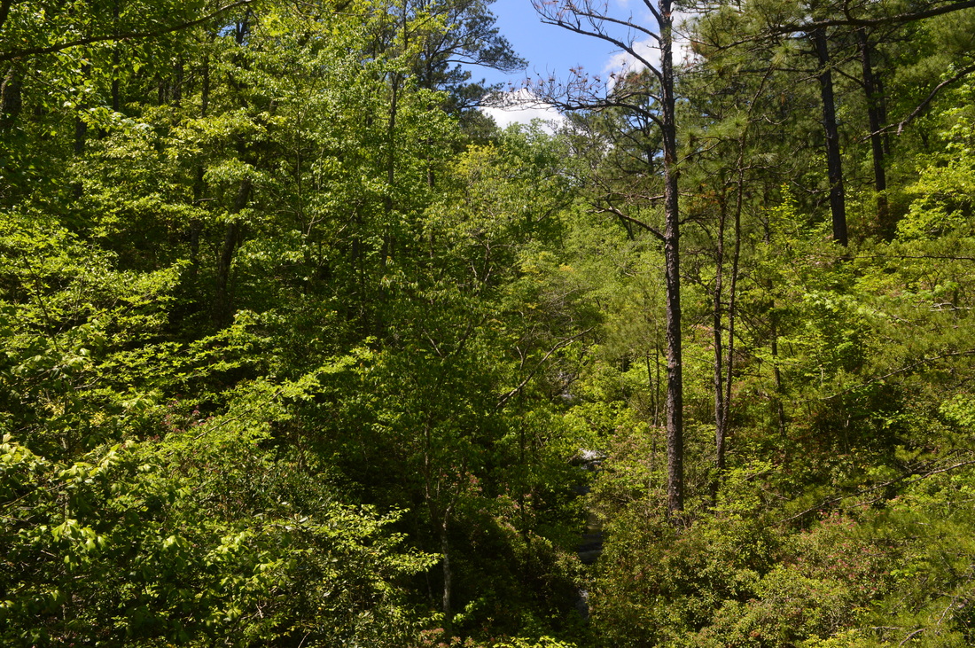
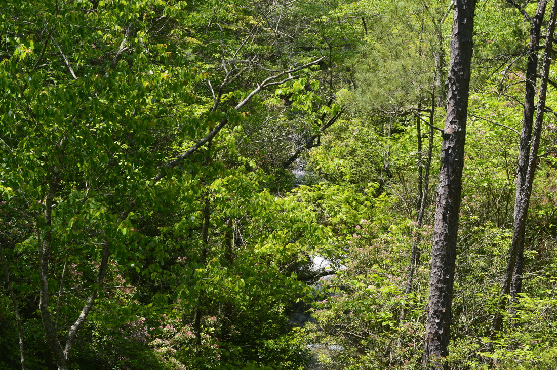
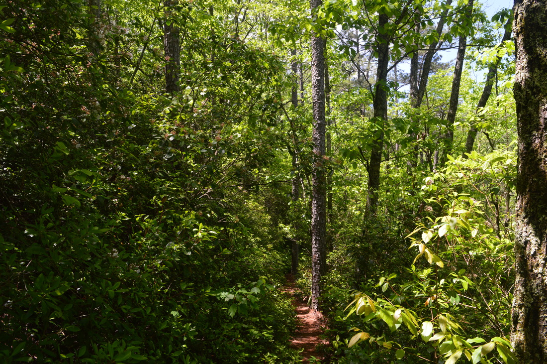
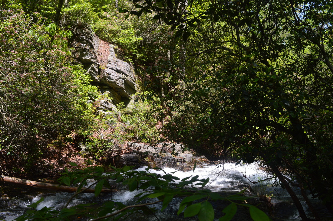
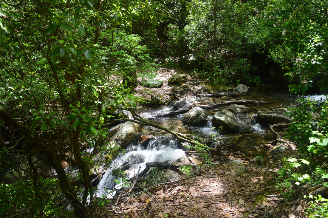
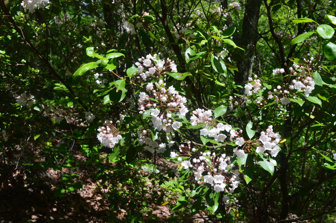
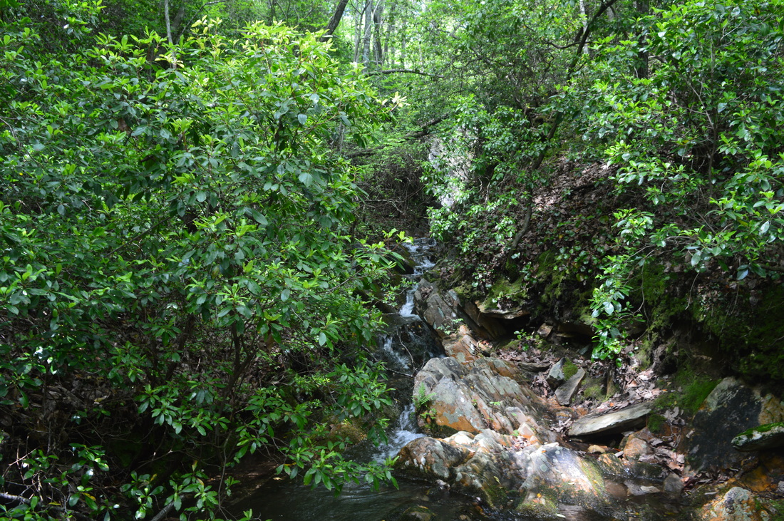
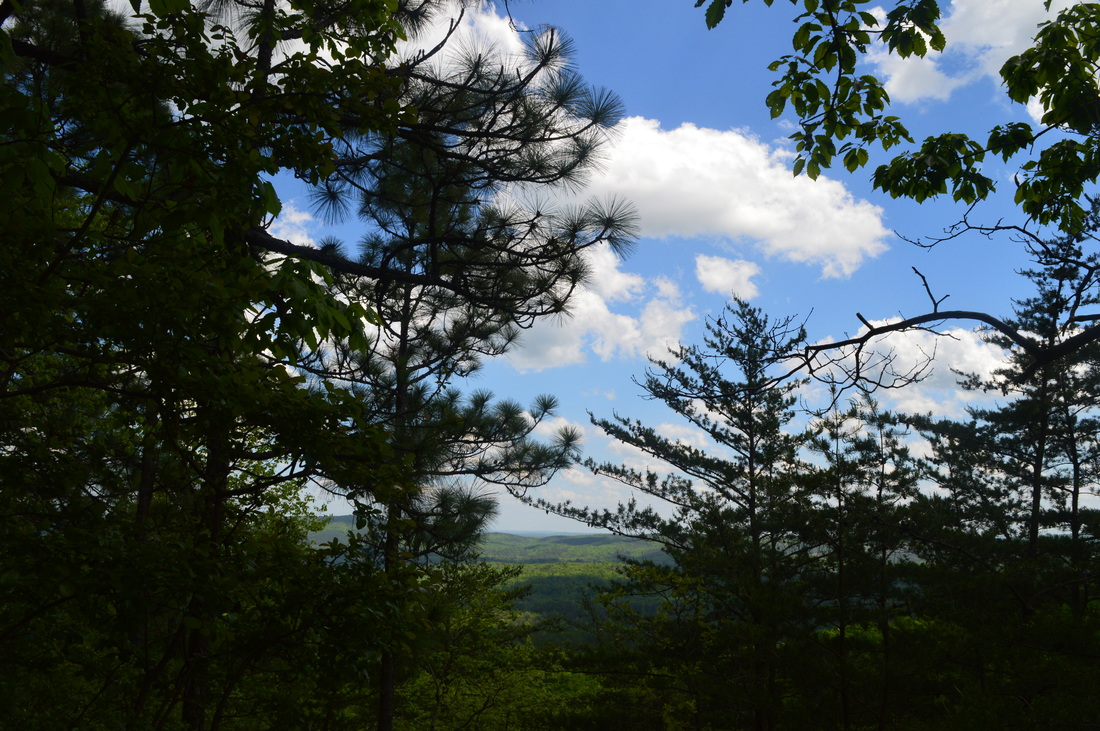
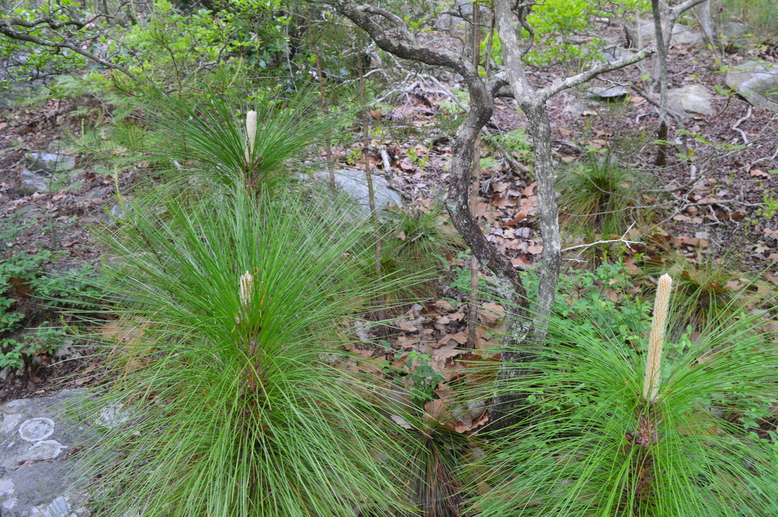
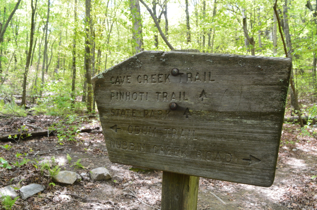
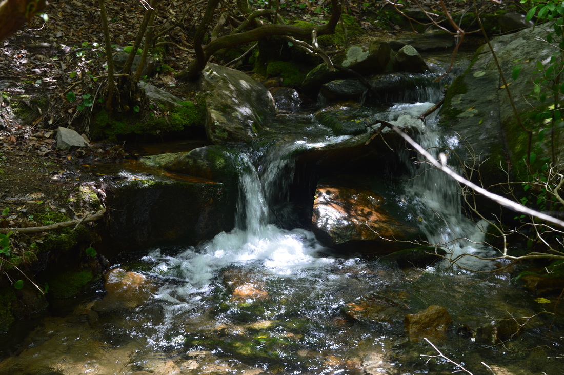
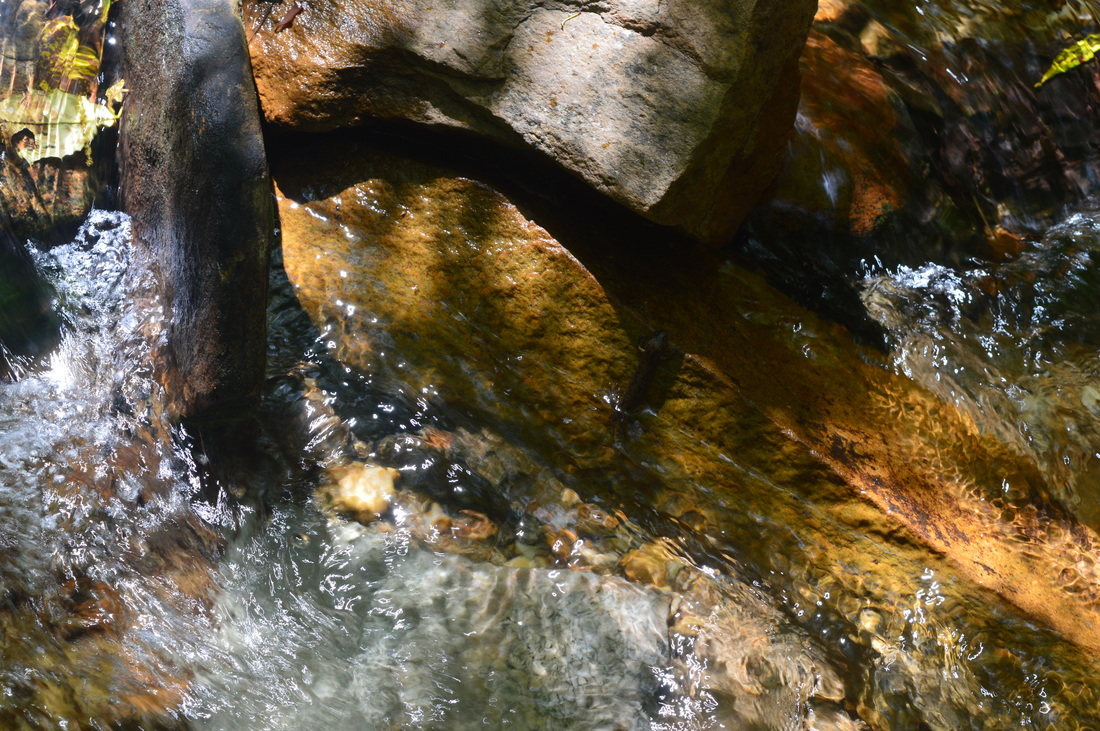
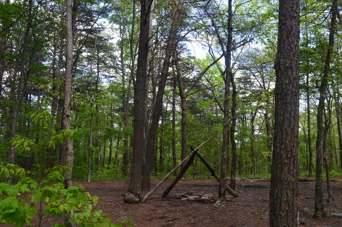
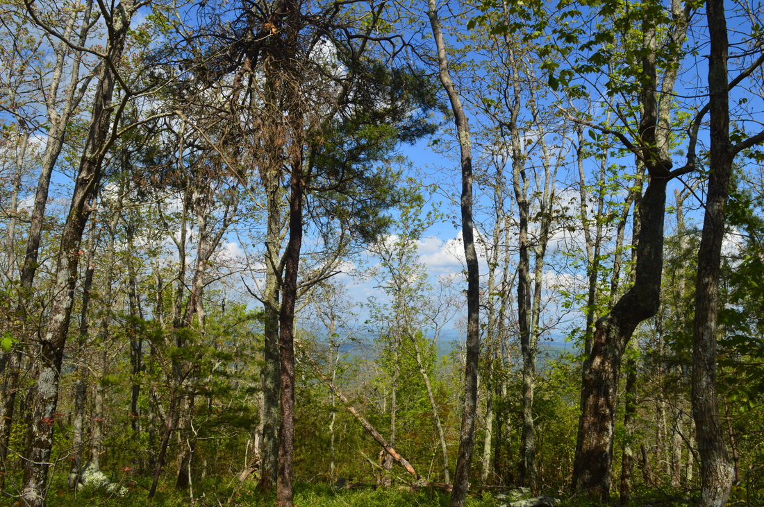
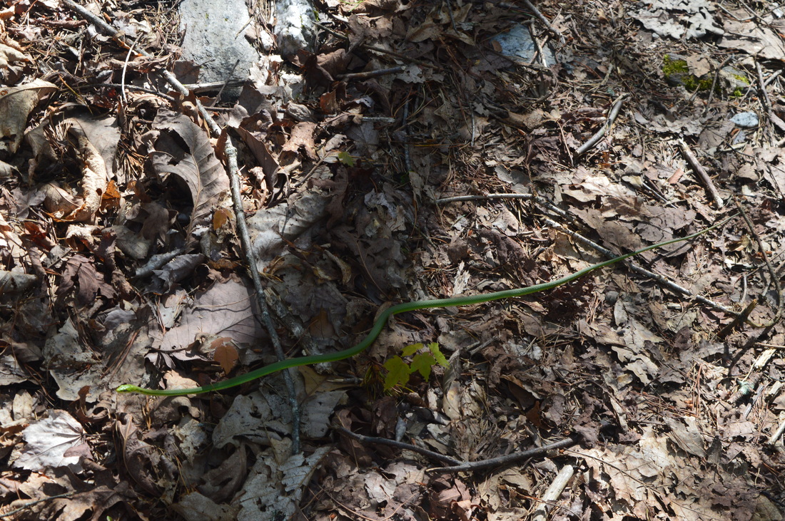
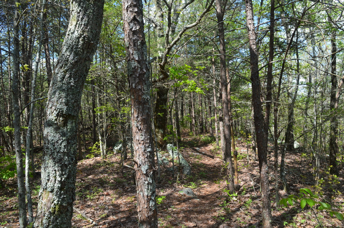
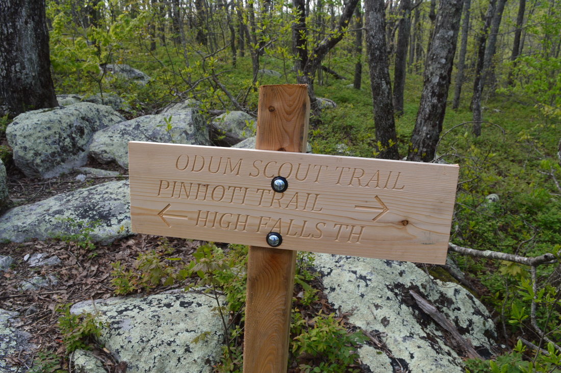
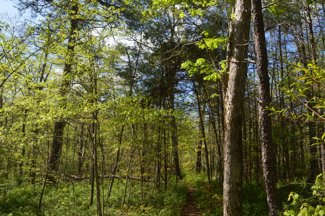
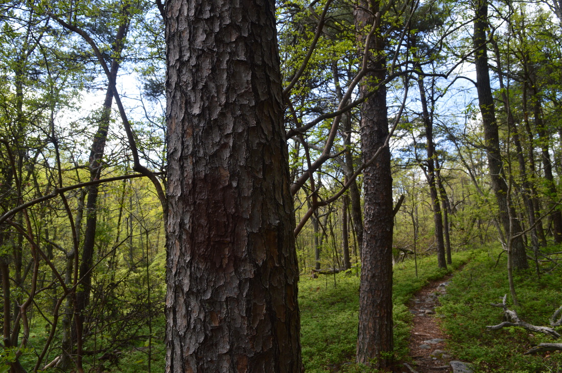
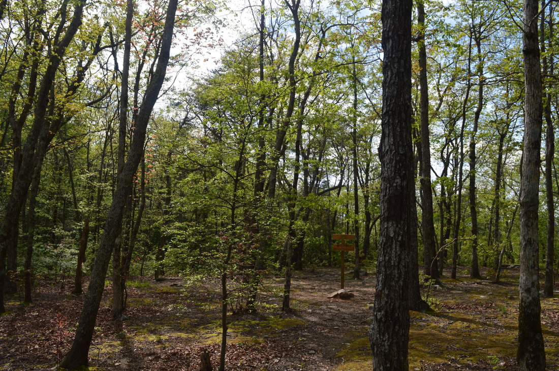
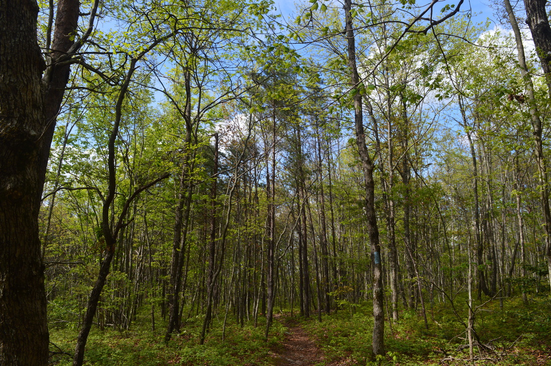
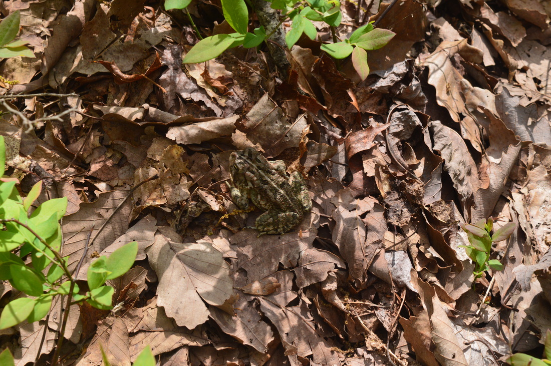
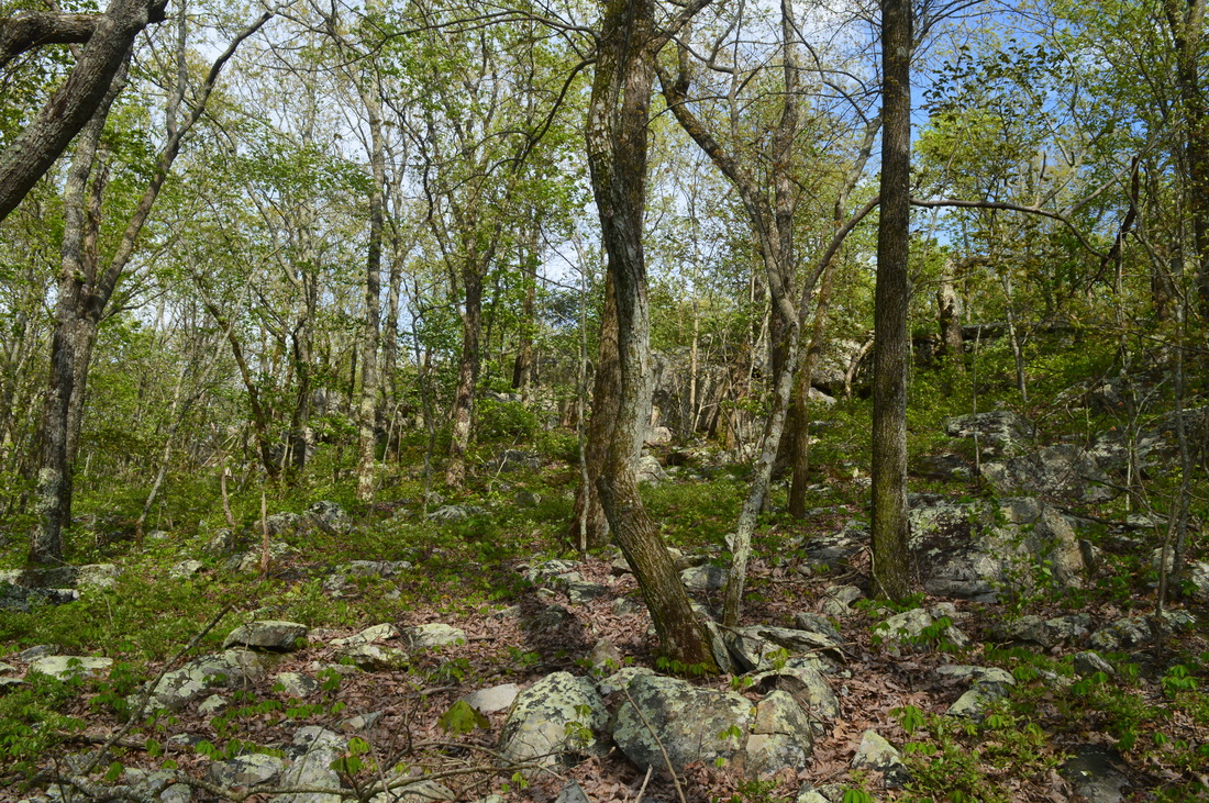
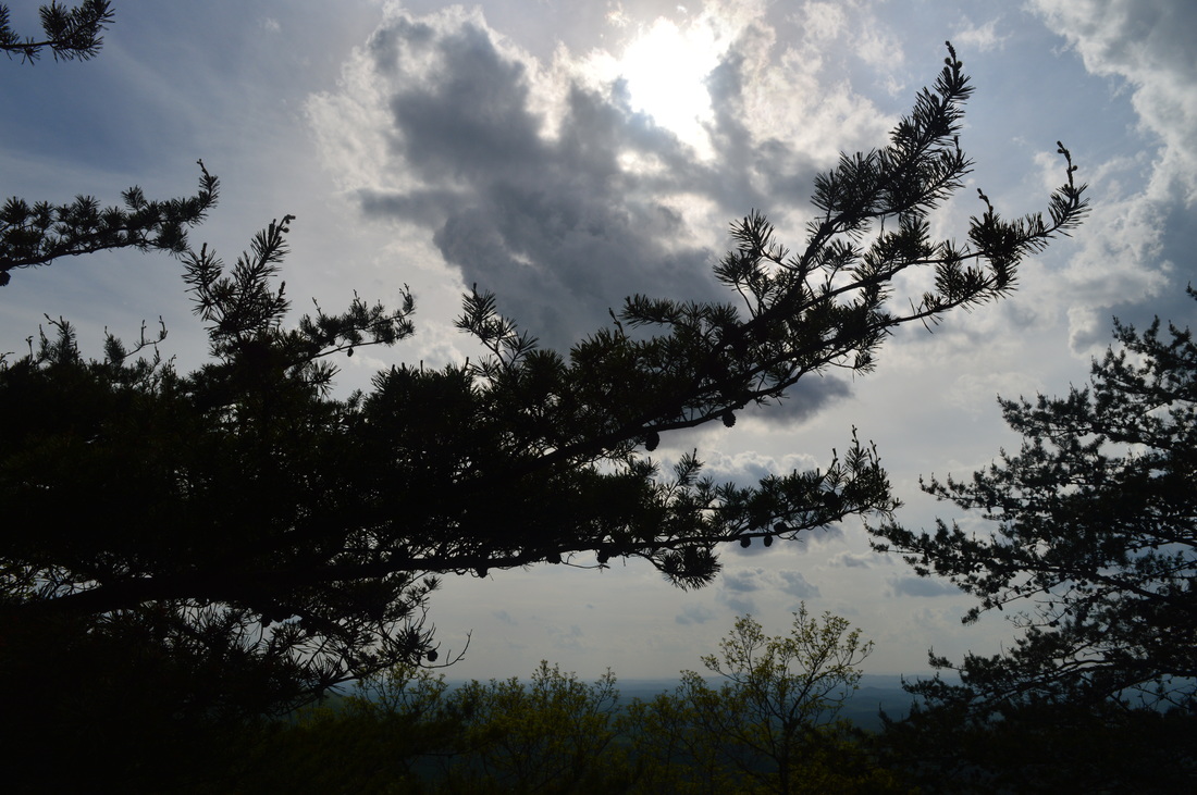
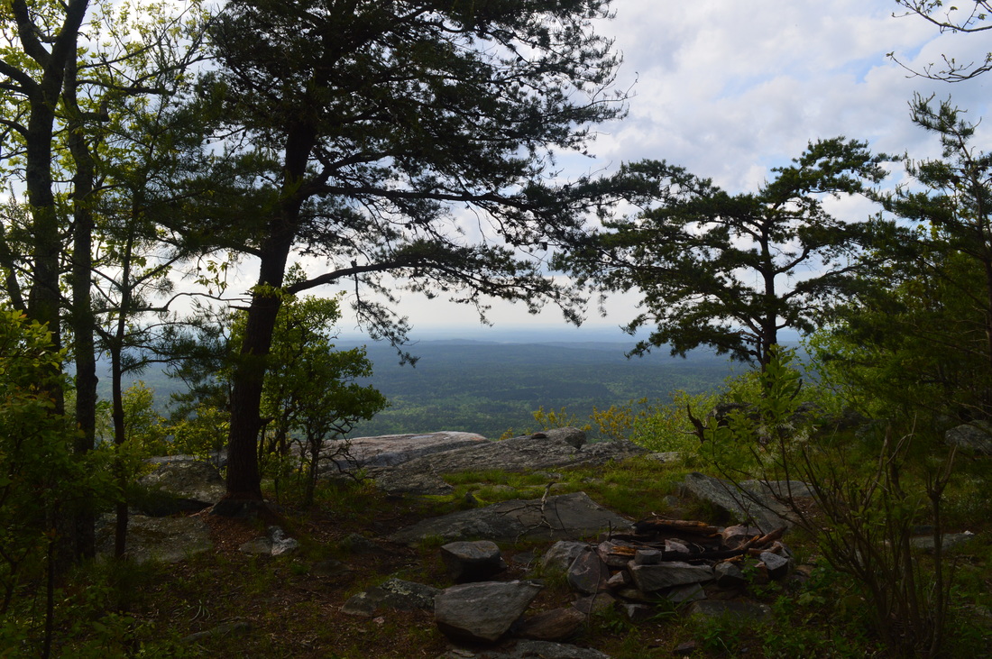
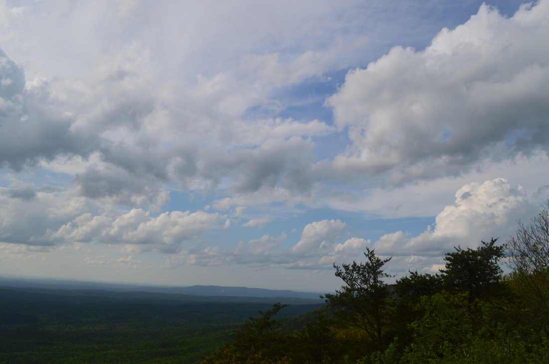
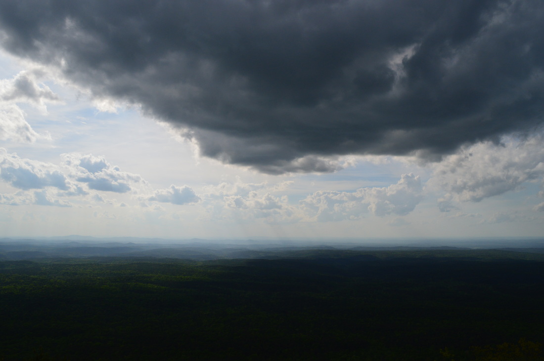
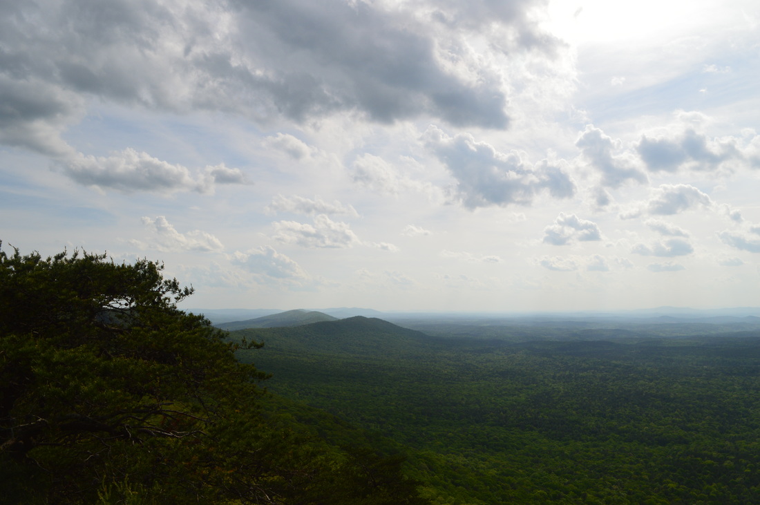
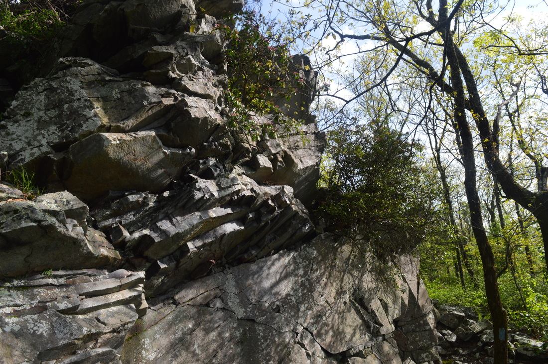
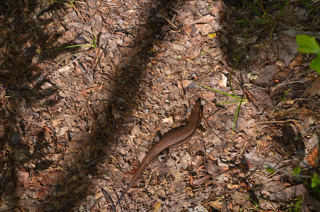
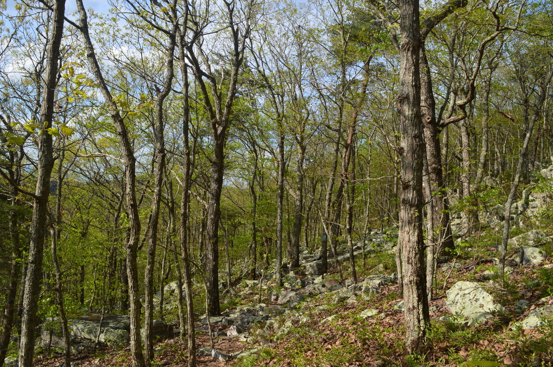
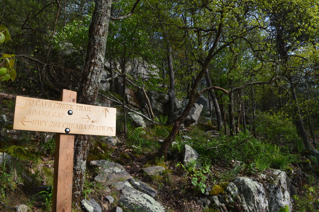
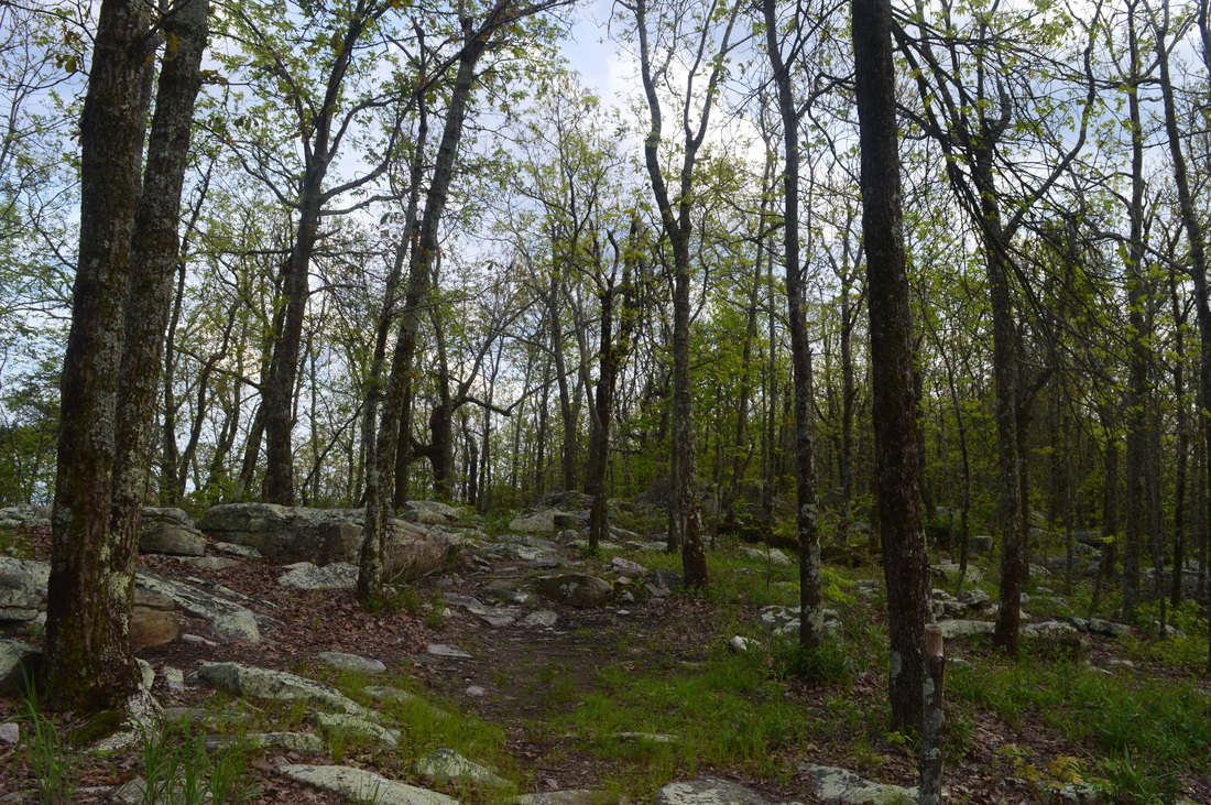
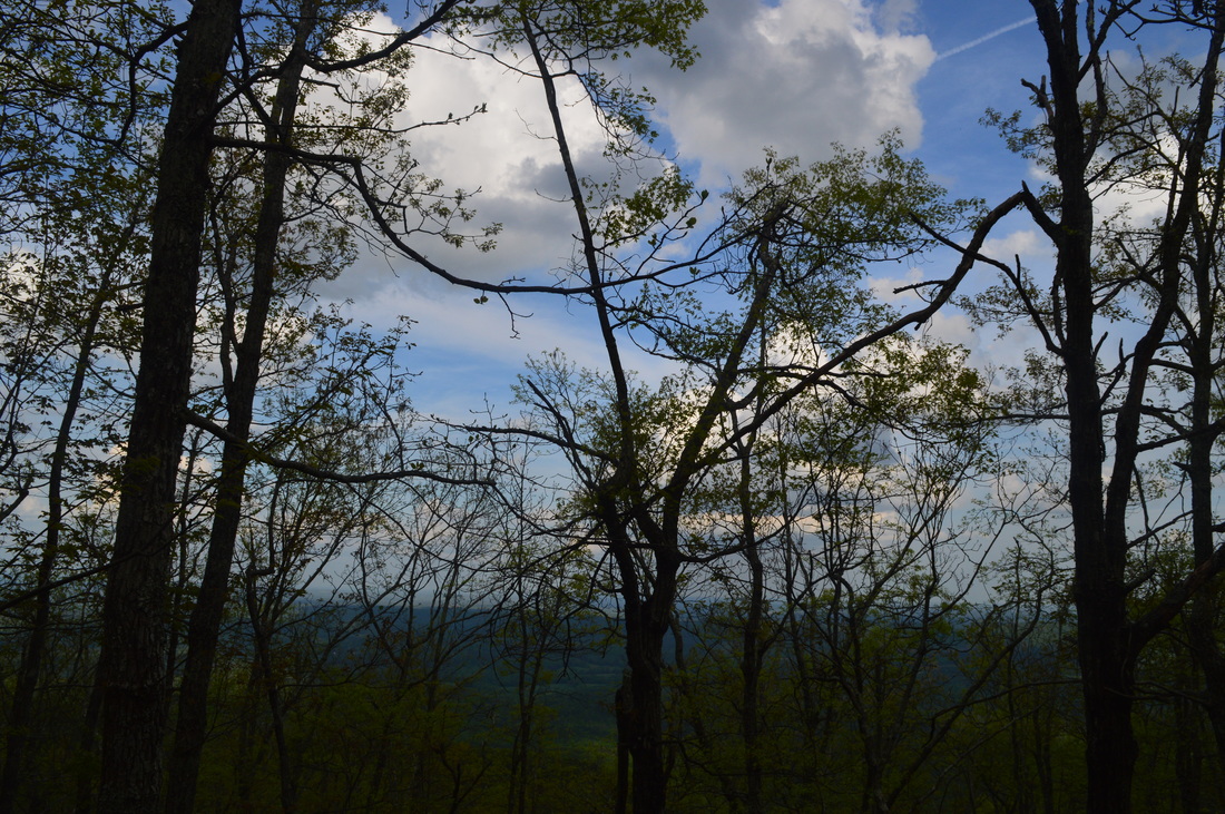
This hike starts at the Nubbin Creek Trailhead near Mill Shoals Creek. Perhaps the most confusing part of the hike is right at the trailhead. There's two trails leaving the parking lot. Take the one on the right of the turnaround. There is a mileage sign there and a kiosk visible in the distance. The other trail, which I ended up on first, leads to a dead-end at a secluded campsite. Once on the main trail, you will be following a wide, flat path with no signs of the creek.anywhere. However, at 0.3 miles, you will be approaching the creek. Mill Shoals Cascades is around here but it's easier heard than seen. First, you will see a wide side trail that leads right, steeply downhill, while the trail narrows ahead. I was aware that this didn't lead to the falls, and according to my hiking partner, who was a bit ahead of me, the path leads to a flat area at Mill Shoals Creek well below the cascades. Skipping this side trail, I continued for a tenth of a mile along a very narrow, slightly overgrown path to reach another steep side trail leading to the top of Mill Shoals Cascades. This side trail doesn't have much of a view of the main section of the cascades. Knowing I missed something, I backtracked a bit along the narrow section and then noticed something I didn't see on the way in - a very narrow, overgrown goat path leading steeply down, right after the first wide side trail if coming from the trailhead. It is very easy to miss this side path, so look carefully right after you pass the wide side trail. Descend on the overgrown side path to reach a large rock outcrop with some views of Mill Shoals Creek and its gorge. This view is certainly best in winter, as ample greenery hides much of the cascades. Still, this outcrop has a good panorama of the gorge itself, so I liked the view. Despite how limited the view was, it is still the best view of Mill Shoals Cascades. Following this, enter the Cheaha Wilderness at 0.5 miles and cross on stones a small tributary of Mill Shoals Creek. The trail then makes a moderately steeply ascent, rising well above Mill Shoals Creek. After undulating along a dry slope, descend through a muddy are back into the Mill Shoals Creek drainage, reaching a crossing of Mill Shoals Creek at 1 mile. You shouldn't normally get your feet wet here. To the left lies the upper falls on Mill Shoals Creek. This is a tall, multi-drop waterfall, although quite hidden by vegetation. The full falls is best seen in winter - otherwise, to get a good view of the upper section, scramble up the right side of the creek until you get close to the upper part of the waterfall. Beyond the waterfall, regain a drier area, before crossing a small tributary of Mill Shoals Creek at 1.7 miles. The trail will descend slightly to a larger tributary at 1.9 miles. This should normally be a dry crossing. Picturesque cascades lie both upstream and downstream. As you make your way out of the cove, reach a winter view (and partial summer view) at 2 miles. This view is into Georgia. Following some mountain laurel, the ascent revamps. Reach a local high point at 2.2 miles, and then, turn left to drop into a high gap with a campsite. Continue ascending on a clear trail, often lined by ferns and pasta couple young longleaf pines, before reaching a junction with the Cave Creek Trail at 2.7 miles. You can hear water below, a sign that the upper end of the Mill Shoals Creek drainage is nearby. At the junction with the Cave Creek Trail, turn left to continue following Nubbin Creek Trail. You'll be back at this point later when closing the loop. The Nubbin Creek Trail will gently descend to Mill Shoals Creek, reaching it yet again at 3.1 miles. This time, though, the crossing is near the top spring of Mill Shoals Creek, and the creek is narrow here. After periods of rain, watch for a few small cascades upstream. Needless to say, the crossing is quite easily done on stones. Following this, the trail starts a somewhat steep ascent to Parker High Point - these are the steepest grades you'll encounter on the hike. As you ascend, you will have good winter views of Little Caney Head to the east and large valleys into Georgia to the east. Near the summit of Parker High Point, I noticed a rough green snake, laying on the trail under the rays of the sun. After a mile of climbing, Parker High Point's wooded summit is reached at 4.1 miles. This isn't quite the high point of the area though, as both Odum Point and Caney Head are higher (and Cheaha Mountain, although that's a bit farther away). Following the summit, you will gently descend along the slopes of or follow a rocky ridge. The ridge has intermittent winter views. Descend into a small gap and then ascend slightly to a junction at 4.4 miles. This is the terminus of the Nubbin Creek Trail. The Odum Scout Trail heads in both directions. A left turn will take you across a scenic ridge with multiple viewpoints, eventually reaching the High Falls Trailhead in several miles. A right turn, which is what you will do if you want to continue the route I planned to follow, leads to the Pinhoti Trail and the west side of the mountain. Following the right turn, start descending steadily, before bottoming out in a saddle at 4.6 miles. To the left (southwest) is the Talladega Creek drainage. To the right (northeast) is the Mill Shoals Creek drainage. After the saddle, ascend some along the slopes of Little Caney Head, before veering northwest off the ridge. Some topographic maps show a trail heading up Little Caney Head - there is no trail leading to the summit. As you descend along the west slope of Little Caney Head, a ridge from Odum Point drops in from the left and merges with the main ridge that you are descending from. After a relaxing descent, reach an important trail junction at 5.5 miles. The Odum Scout Trail terminates here. The Pinhoti Trail crosses from left to right (from west to east). The Chinnabee Silent Trail continues straight ahead down a very steep slope, reaching Highway 281 and Turnipseed Campground in 2 miles, Cheaha Falls in 3 miles, and Lake Chinnabee Recreation Area and Trailhead in 6 miles. The Pinhoti Trail, on the left, continues to Adams Gap, and on the right, to Cheaha State Park. This route takes us to the right. Also, the intersection has a nice camping spot. Water is easily reached from a nearby stream, most easily by going down the Chinnabee a couple hundred feet. From the junction, the Pinhoti Trail stays flat with some occasional gentle uphill. The trail will cross several boulder fields. There will be some large cliffs to the right, before the trail breaks the rim and rises above the cliffs. From here on, look for numerous winter views to the left from rock outcroppings. At 6.3 miles, reach a large rock outcrop that gives an outstanding view westward into the heart of Alabama. This view is year-round and definitely the best on the hike. I played around with my new polarizing filter, and I ended up getting a great picture of the vista. Most of the vista is a long-range view of the forests of central Alabama. On a clear day, you can see the Birmingham skyline on the horizon. On the far left, you can see several low mountains. That area is part of the southernmost section of Talladega Mountain, and also part of the Pinhoti Trail's route. From the vista, continue on the trail through a large boulder field. More bluffs appear on the right, and occasional winter views continue on the left. Reach a junction with the Cave Creek Trail Connector at 6.9 miles. The Pinhoti Trail continues straight towards an amazing vista at McDill Point (part of the Cave Creek Loop) and eventually to Cheaha State Park. This hike turns right onto Cave Creek Trail Connector - however, if you are looking to do a backpacking trip combining this hike and the Cave Creek Loop, then you would need to continue straight. Otherwise, the Cave Creek Trail Connector ascends through more boulders to reach the top of the ridge at 7 miles. The spine of the ridge is quite rocky in both directions. Continue across the ridge to reach the Cave Creek Trail at 7.1 miles. The Cave Creek Loop turns sharply left here (or comes in from the left), while my route turned right. The Cave Creek Trail will gradually descend along the eastern slope of the ridge with occasional eastern views. In fact, it's all downhill from here. Reach the Nubbin Creek Trail at 8 miles and close the loop. Turn left, and retrace your steps along the Nubbin Creek Trail to reach the end of the hike at the trailhead at 10 miles.
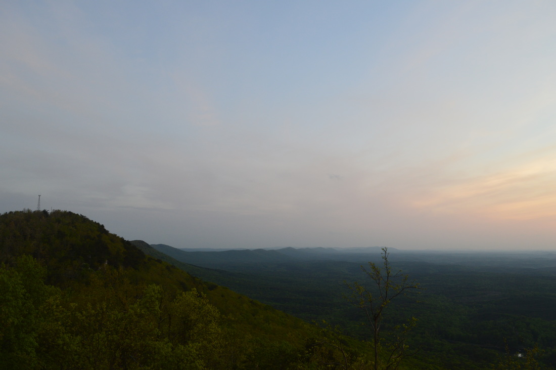
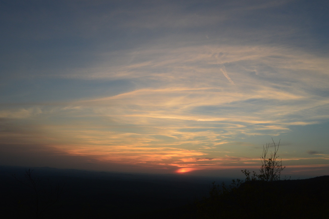
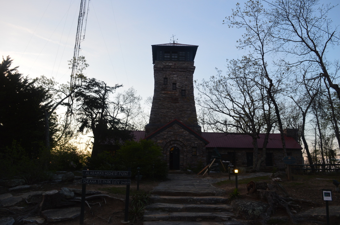
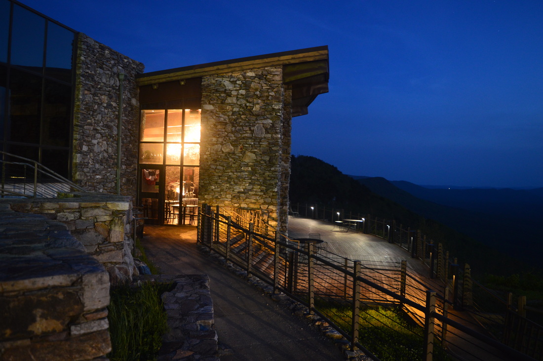
While you're in the area, check out Cheaha State Park, about 10 miles away. That's what I did when I finished this hike. Since it was pretty late, all I did was checked out the sunset and the observation tower, but the park has several short trails: Bald Rock Trail, Pulpit Rock Trail, Rock Garden Trail, and Lake Trail. These trails range from a quarter-mile to a mile long (one way) I have done all but the lower portion of the Lake Trail on a prior visit and they are all quite nice. I plan to rehike to the Bald Rock Vista via a different approach later this year or next year. Also, Cheaha Lodge is a good jumping-off point is for hikes in the Cheaha Wilderness and the surrounding area, so I would recommend you stopping there for several days, if you have to drive a long distance to get to this hike and want to do more than one hike in the area.
0 Comments
Leave a Reply. |
About MeMark Oleg Ozboyd Dear readers: I have invested a tremendous amount of time and effort in this website and the Georgia Waterfalls Database the past five years. All of the work that has gone in keeping these websites updated with my latest trip reports has almost been like a full-time job. This has not allowed me to pick up a paid job to save up money for college, and therefore, I I've had to take out loans. If you find the information on this website interesting, helpful, or time-saving, you can say "thanks" and help me out by clicking the button above and making a contribution. I will be very grateful for any amount of support you give, as all of it will apply toward my college tuition. Thank you!

Coming in 2022-2023?
Other Hiking WebsitesMiles HikedYear 1: 540.0 Miles
Year 2: 552.3 Miles Year 3: 518.4 Miles Year 4: 482.4 Miles Year 5: 259.9 Miles Archives
March 2021
Categories
All
|


 RSS Feed