While this hike is actually in Georgia, the parking for it is in South Carolina, and you'll walk across the state line as you cross the Highway 76 bridge across the Chattooga River. In fact, the entire hike stays close to the state line. This is because the Chattooga River straddles the Georgia/South Carolina border for much of its length. The Chattooga River is a federally designated Wild and Scenic River. It is a whitewater kayaker's paradise, as there are many Class IV and Class V rapids throughout the river's course. In fact, you will get up close to Bull Sluice - a Class V rapid - on this hike, and you may even see some kayakers make their way down it. Leaving Bull Sluice, this hike will follow the Chattooga River Trail across a number of ridges near the river. Along the way, you'll be treated to several good views of this mountain river. This hike occurred on Saturday, June 11th, 2016. My plan was to hike the Chattooga River Trail from the Highway 76 bridge to Sandy Ford Road, making the short side trip to Bull Sluice along the way. I arranged to have two cars for this point-to-point hike: one car was placed at the Highway 76 trailhead and another car was placed at the Sandy Ford trailhead.
Summary
R/T Length of Trail: 11.8 Miles
Duration of Hike: 7:35 Type of Hike: Point-to-Point (two cars required) Difficulty Rating: 5 out of 10 Total Elevation Gain: 2202 Feet Pros: Many great camping opportunities (it is very easy to turn this into a weekend outing) Cons: The trail, despite its name, does not afford many continuous views of the river or its major rapids Points of Interest: Bull Sluice (Class V Rapids) - 4 stars; Cascades on Pole Creek - 1 star Trail Blaze Color(s): Chattooga River Trail - Lime Green; Bull Sluice Spur Trail - None Best Season(s) to Hike: Fall; Winter; Spring Fees: None Beginning Point: US 76 Chattooga River Trailhead Directions from Clayton, GA to Sandy Ford Trailhead: Follow Warwoman Road east for 5.8 miles. Then, bear right onto Tom Bleckley Lane, and immediately afterwards, turn right onto John Houck Road. Continue for 0.7 miles, and then, turn left onto Sandy Ford Road. This is a dirt and gravel road, but it is in great shape and should be passable by most passenger vehicles. Continue on Sandy Ford Road for about 3.7 miles. Near the end of the drive along it, there is a shallow car ford of Dicks Creek. About a tenth of a mile after the ford, at the top of a hill, you will reach a small parking area next to the road. This is the Sandy Ford Trailhead for the Chattooga River Trail and Bartram Trail. This is where I placed my first car; then, I rode over to the US 76 trailhead where I placed a second car and began my hike. Directions from Sandy Ford Trailhead to US 76 Trailhead: After you have parked your first car, drive back west along Sandy Ford Road for 3.4 miles. Then, turn left onto Pool Creek Road. This is a dirt and gravel road that connects Sandy Ford Road with US 76. It is also in good shape. 0.9 miles after turning onto Pool Creek Road, you will pass a crossing of the Bartram Trail. 2.9 miles from Sandy Ford Road, Pool Creek Road will become paved. Reach US Route 76 after driving a total of 5 miles from Sandy Ford Road. Turn left onto US 76, and follow it for 3 miles. Just after crossing the bridge across the Chattooga River, turn left onto the entrance road to the trailhead parking area. Shortly afterwards, reach the large parking area for the US 76 Chattooga River Trailhead. This is where the hike back to your first vehicle begins. Map
Click here for more information and to download this trail map to view in Garmin Basecamp
Details
You may have noticed that the type of this hike is a "Point-to-Point" hike. Yes, that's a new category for me. Until recently, I haven't had the opportunity to hike with two cars (one at each end of the hike). Now, this opportunity occasionally appears, and on this hike, I used it, as there's no easy way to hike this section of the Chattooga River Trail without two cars.
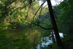
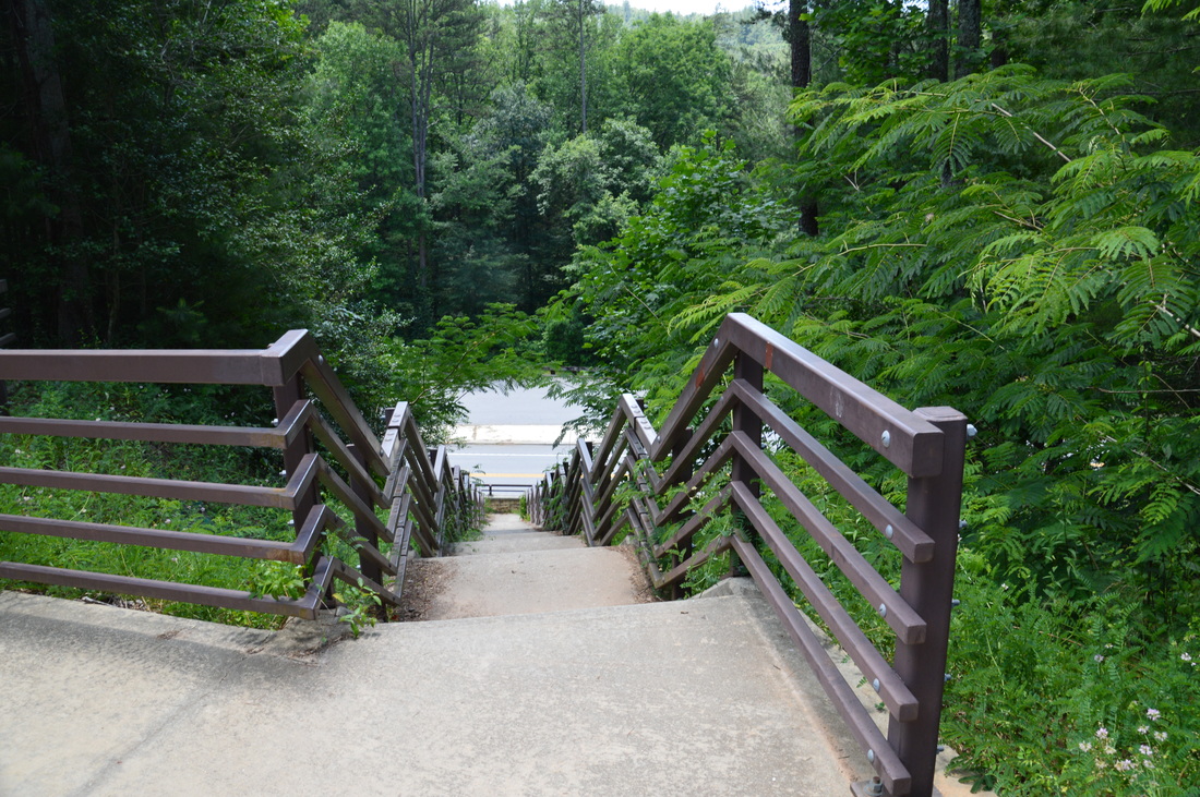
There is no big difference between which trailhead to start this hike at, although hiking southbound, there is actually slightly less uphill than hiking northbound. However, most guidebooks describe the trail northbound, which led me to the decision to start at US 76. Keep in mind one thing, however: while the trail is named "Chattooga River Trail", much of the trail (or at least this segment of it) is not within sight of the Chattooga. In fact, there is only one section of this entire hike that stays along the river for an extended period of time. That section is about 1.7 miles long. The rest of the hike traverses leads and knobs that are near the rim of the gorge. Two trails leave the US 76 parking area. On the north side of the parking lot, a short, touristy trail leads to an observation area on the east side of Bull Sluice. Bull Sluice is a Class V Rapid. However, this short trail isn't worth the time, as there is a better approach to the rapid on the west side of the river, off a spur trail from the Chattooga River Trail. The main hike begins on the south side of the parking area at an informational kiosk about the Chattooga River Trail. Here, the Chattooga River Trail begins by heading down a series of wide concrete steps that lead to US 76. At the bottom of the steps, turn right onto a sidewalk that runs across the bridge along the busy highway. There are great views of the river gorge, especially upstream, from the tall bridge. After you have crossed the bridge, look for the true beginning of the Chattooga River Trail to the right. At the beginning of the trail, there is a boulder with the following inscription on it:
CHATTOOGA RIVER
TRAIL DICKS CREEK RD 10
The Dicks Creek Road that the carving refers to is actually Sandy Ford Road, although I suppose that it has two names. I don't know if this is the mileage to the crossing of the road at Rock Creek or the trailhead itself, but either way, the mileage was a bit more on my GPS.
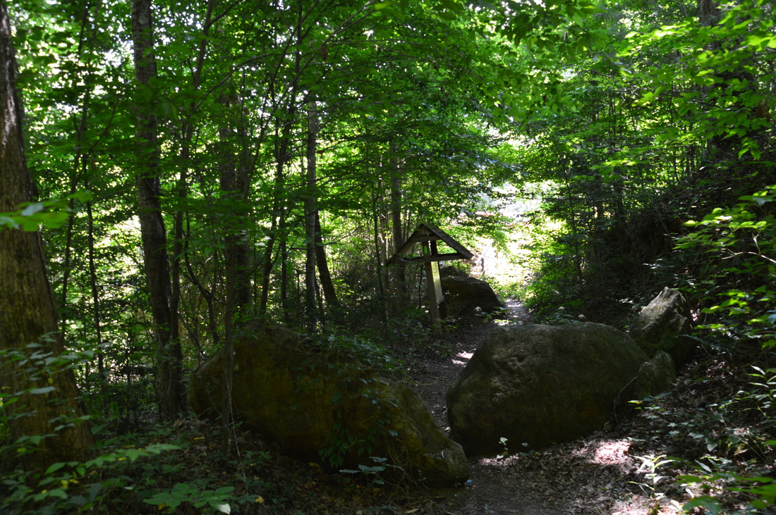
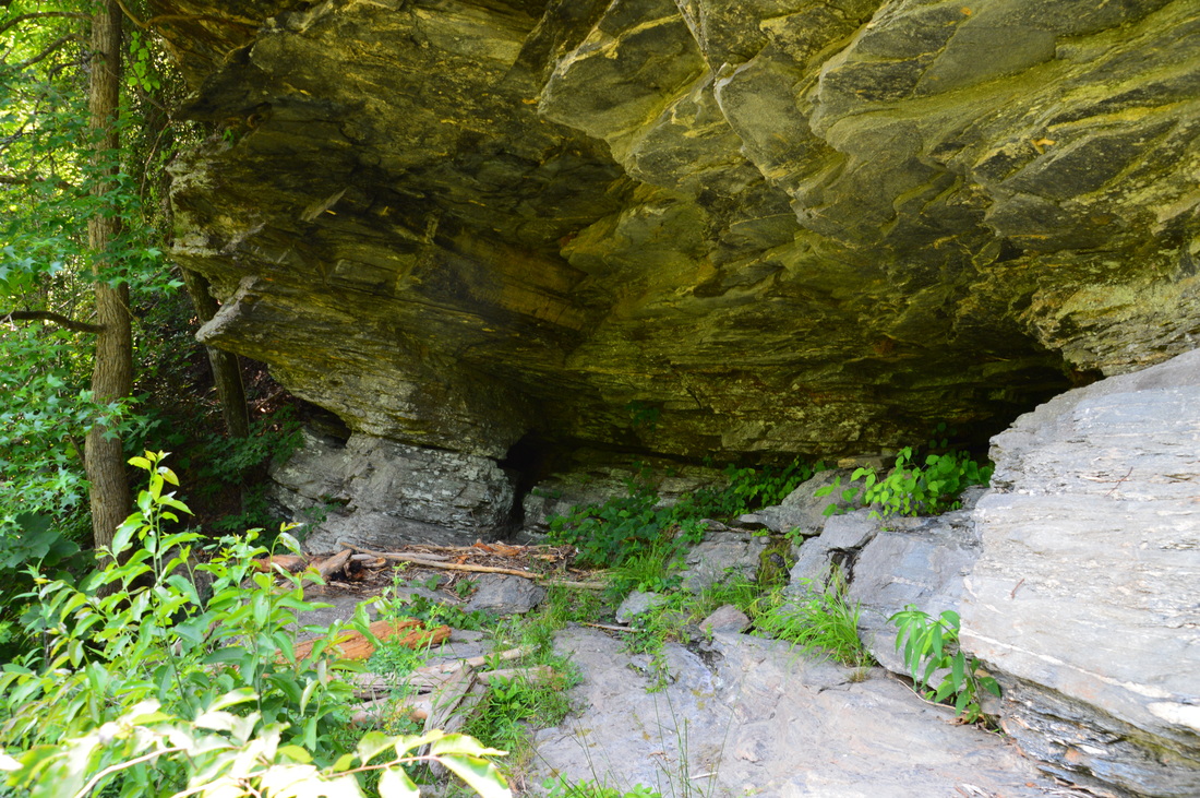
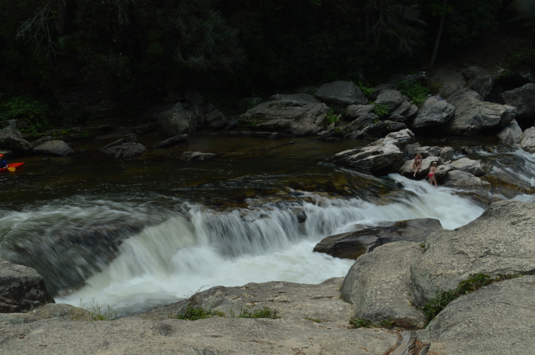
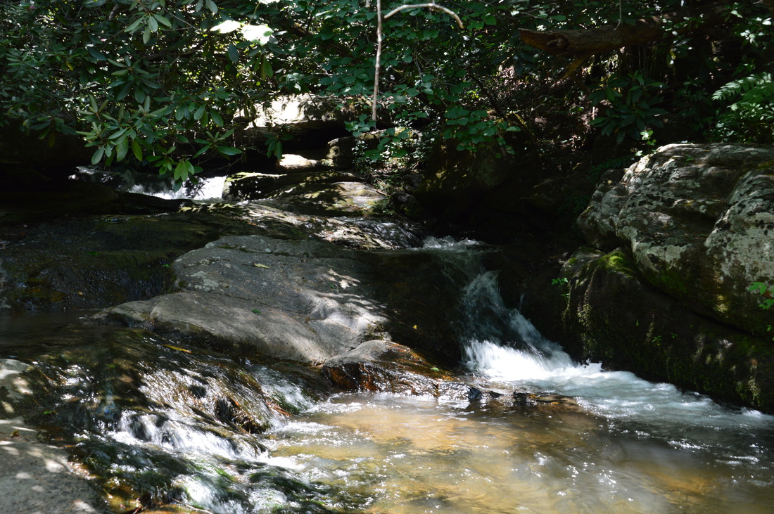
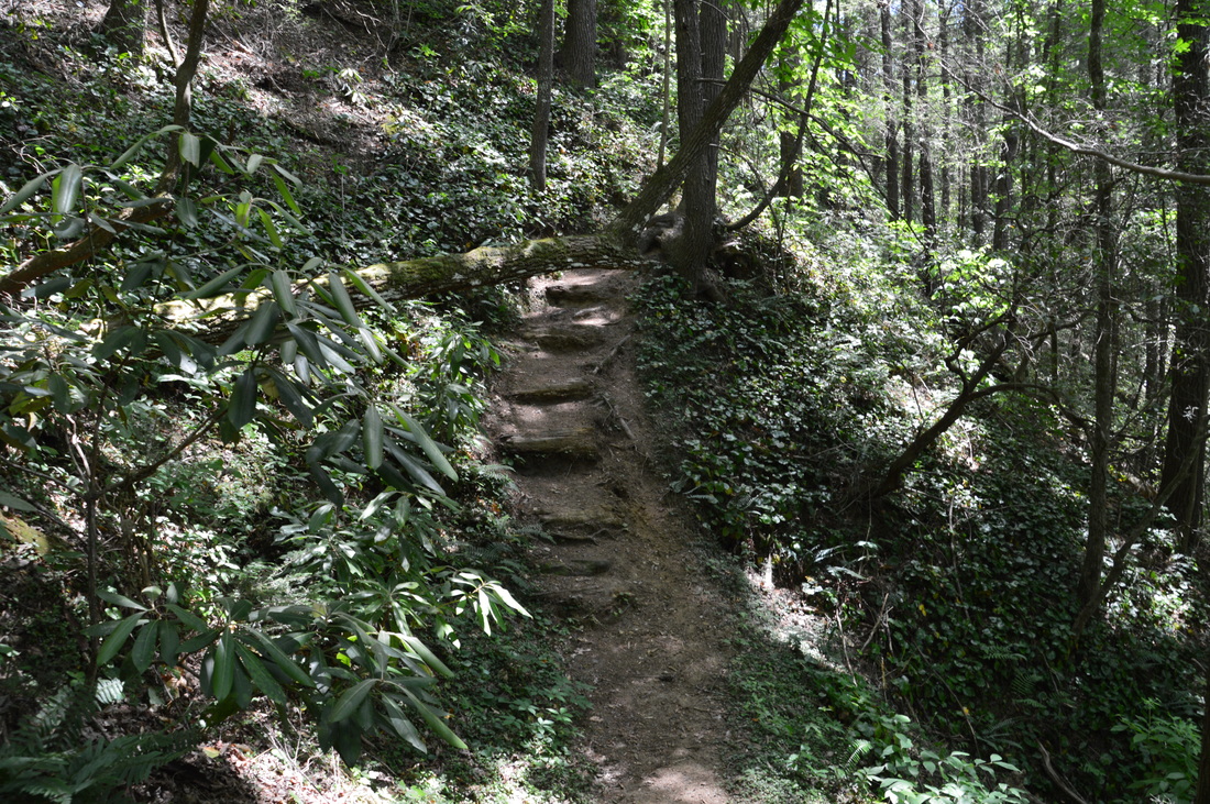
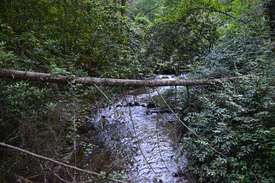
Passing by another kiosk and some ATV-blocking boulders, the single-track path begins ascending away from the river. Winding out of a hollow, the trail comes to a junction with an unmarked but well-trodden path to the right at 0.3 miles. This is the unofficial spur trail to Bull Sluice, and before the main trail leaves the river, you must do this short side trip to see the power of Bull Sluice. The side trail immediately begins descending back to the river. At the river, the trail navigates trickily across a large rather blowdown. Then, the trail passes under a huge rock shelter that one would expect to see in the Cumberland Plateau region. As the trail breaks out to a clear view of the river, you can see Bull Sluice up ahead - but you can get a lot closer. At 0.55 miles, the path arrives at Pole Creek. This may be a shallow ford, depending on recent rains, but on this day, there was a severe drought throughout the area, so I was able to navigate across with dry feet. Just upstream from the crossing, there is a small waterfall or rather cascade on Pole Creek that might have been nicer, if there was more water. Beyond Pole Creek, the trail winds up to the rocks next to Bull Sluice. Reach Bull Sluice at 0.65 miles. 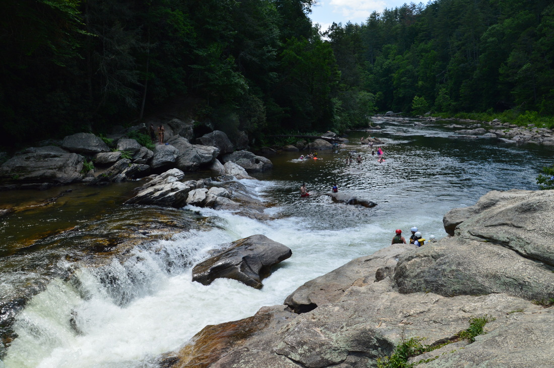
Bull Sluice is a Class V Rapid on the Chattooga River.
Bull Sluice is known as one of the most challenging rapids for kayakers on the Chattooga River. This is a pretty turbulent rapid that falls over a ledge in a cleft between large masses of boulders. On a warm summer day, you can stand on the boulders and observe kayak after kayak going over the edge. I watched over a dozen of them attempt the trick, but not all of them made it - some of them overturned! From these boulders on the west side of the river, I could see a lot of people milling around the east bank. I bet that some of those people were wondering how we got to our vantage point. In fact, I had a kayaker ask me that same question. It's a much shorter hike than they probably think!
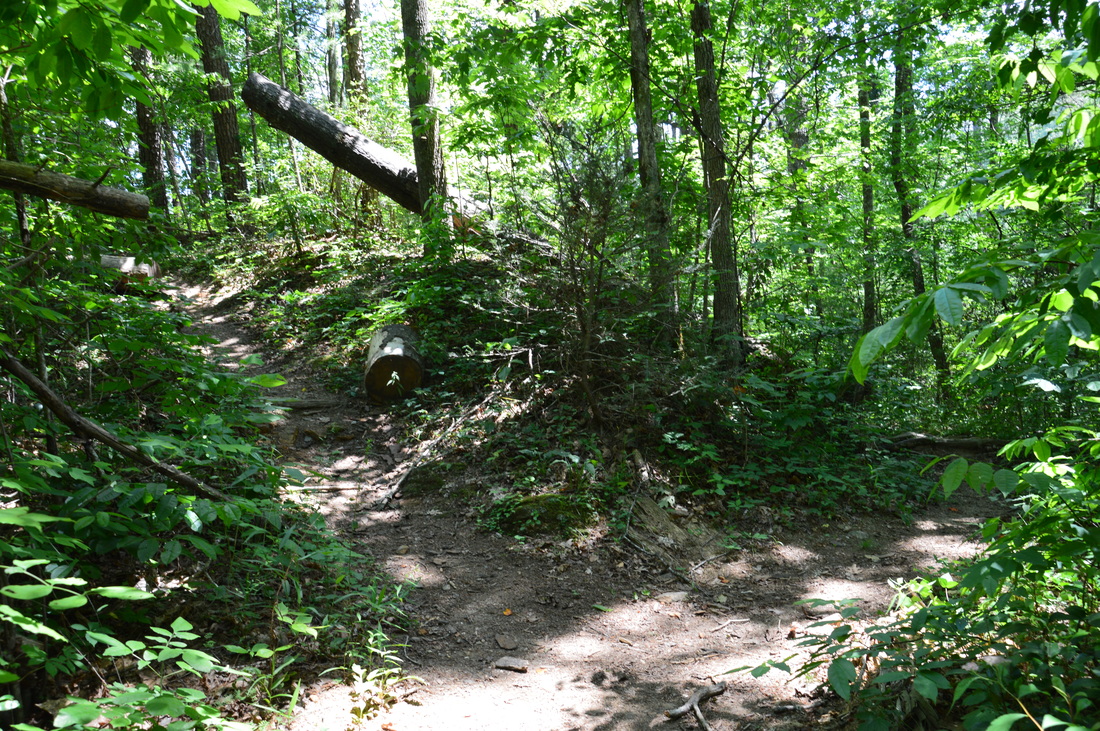
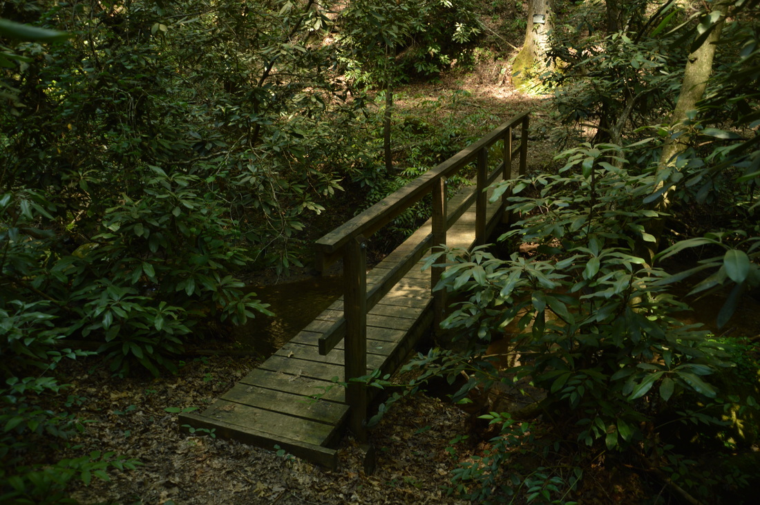
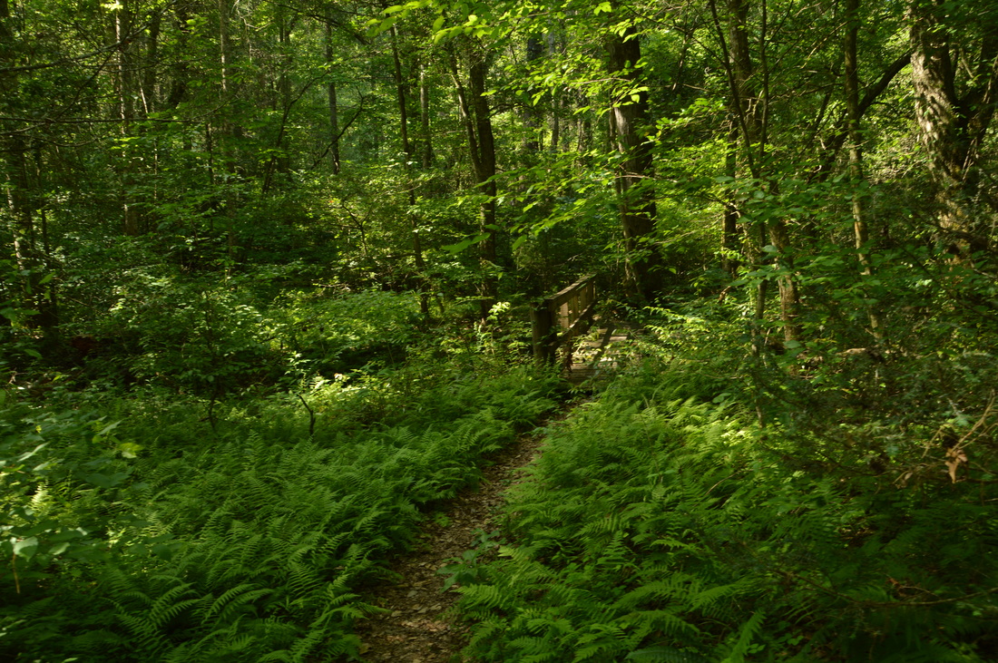
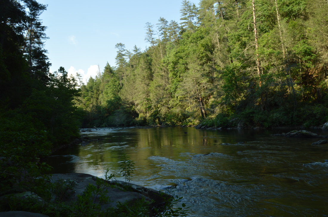
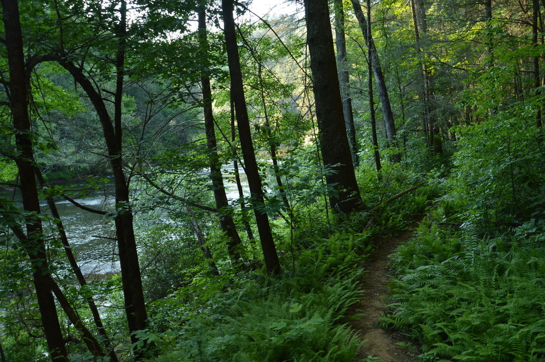
From Bull Sluice, retrace your steps along the side trail. You will be back at the Chattooga River Trail at 1 mile. Turn right onto the green-blazed trail, which you'll be following for almost the rest of the day. The main trail ascends for some time before levelling out and traversing several coves. At 1.5 miles, a spur trail leaves to the left. It is not on my maps, but I think that it leads to some trailhead access on McWorter Lane. At 1.7 miles, the trail descends to and crosses Pole Creek on a large footbridge. After this, the trail follows the creek southward for some time, and at one point, the roar of Bull Sluice is clearly heard in the gorge far below. Over the two miles, the trail stays rather monotonous, cutting across countless coves and hollows. At the same time, the trail gradually ascends to a lead that drops down from Lion Mountain. At 3.8 miles, the trail tops out at an elevation of about 1600 feet. Over the next 1.6 miles, the trail descends just as gradually to the Chattooga River. At 5 miles, the trail crosses over a fairly large unnamed stream, after which it turns right onto an old forest road. Passing through a field of fer in a lowlad the trail reaches an area of campsites at the Chattooga River at 5.4 miles. I suggest walking out to the river here, for you won't see much of it throughout nearly two miles of upcoming trail. 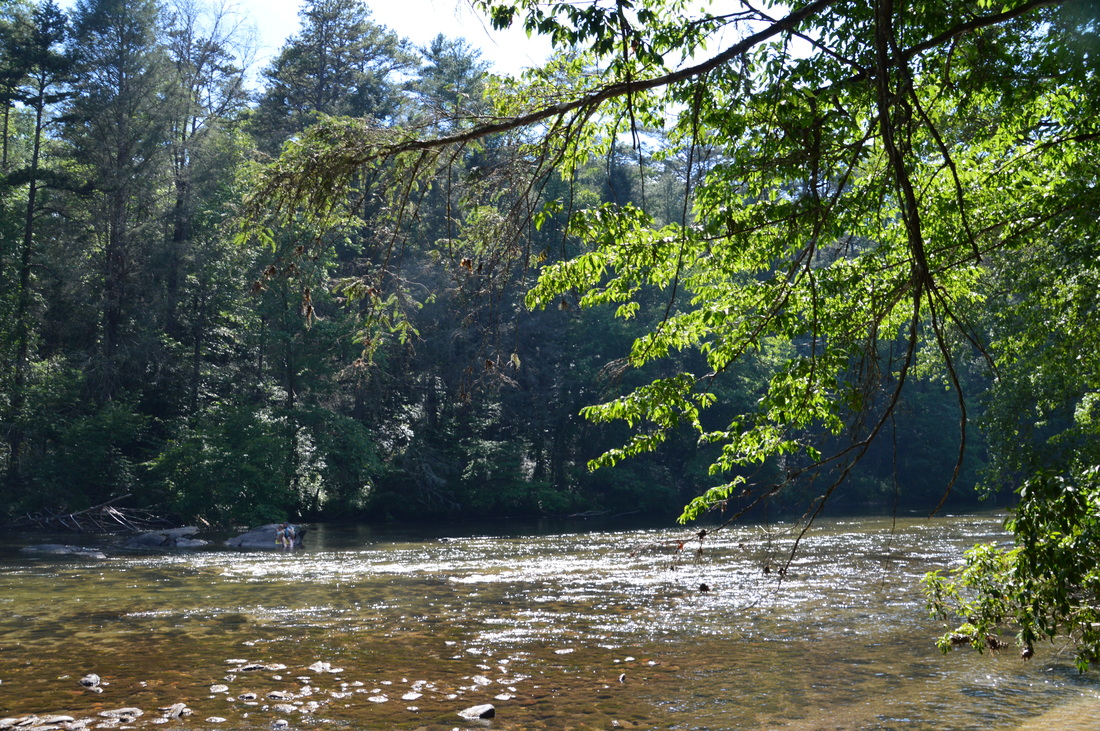
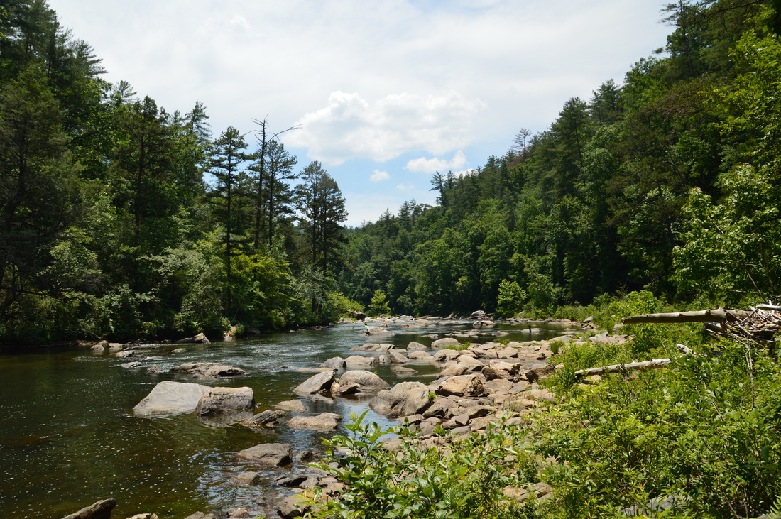
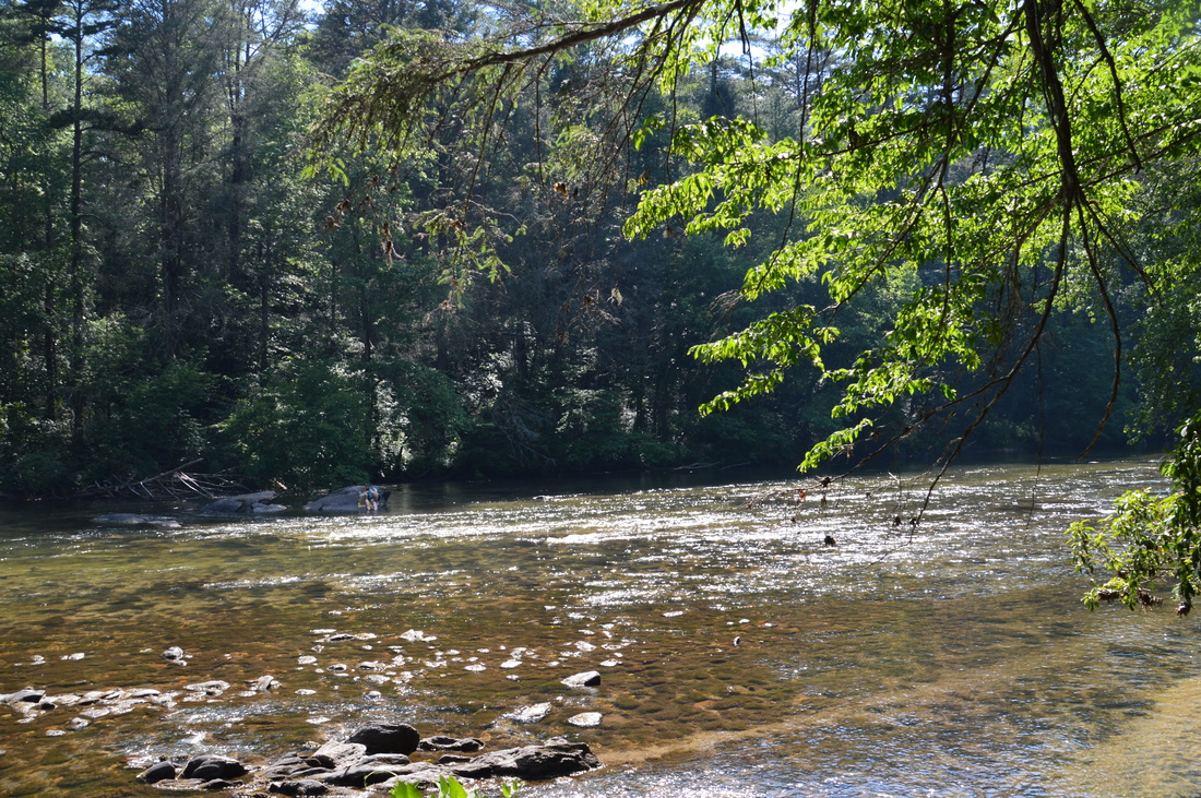
The Chattooga River at mile 5.4 of the hike.
At this point, the wide river flows lazily across hundreds of small rocks embedded in the riverbed. The waterway also looks shallow here, and I could see a campsite on the opposite shore, which probably meant that somebody had forded the river and decided to camp in more solitude. Somewhere not far upstream from this location is a Class IV rapid called Painted Rock. One of the guidebooks that describes this trail made it sound as if the rapid is right here, but it was nowhere in sight, and I did not locate any path at all that could lead to it.
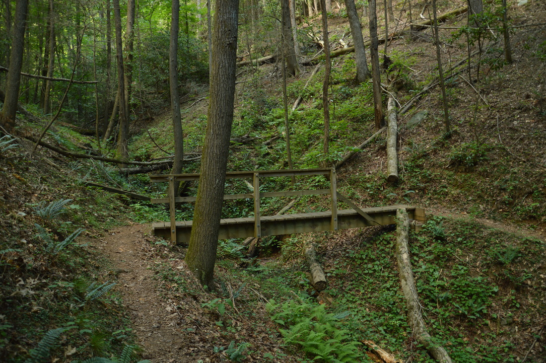
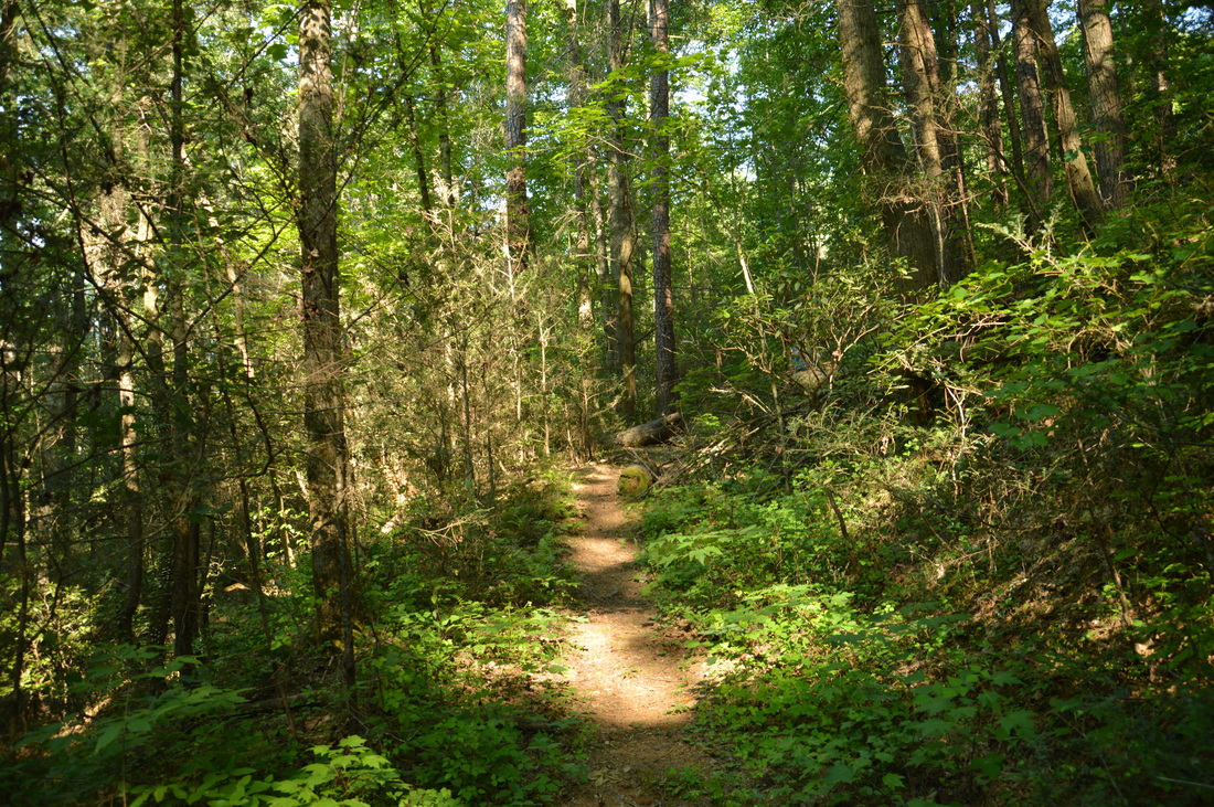
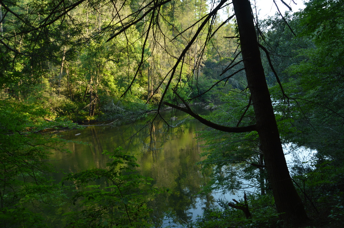
Leaving the river, I continued on the Chattooga River Trail, which quickly ascended to the rim of the gorge. This ascent was noticeably steeper than the previous one, and there were some moderate to strenuous grades here. Luckily, the steeper section wasn't very long. At 6.35 miles, the trail crossed the wooded summit of a knob, before plunging back into the gorge. This descent was also noticeably steeper than the previous descent. At 7.3 miles, the trail returned to the Chattooga River. This began the only extended part of the hike along the river. Soon after the trail reaches the river, thee is a good vantage point of the boulder-strewn river. The current here is not very fast - the view is of a typical, pristine, mountain waterway, and the "Wild and Scenic" designation can be attributed to views such as this one. Throughout the river section of the trail, there are a lot of camping areas, at the river or near it. I found a lot of the campsites taken, especially the higher and drier ones (which I would personally prefer). At 7.85 miles, the trail crosses on a large wooden footbride Lick Log Creek, a fairly large tributary of the Chattooga River. At 8.1 miles, the trail briefly rises away from the river to a junction with the Licklog Trail. This is a 0.6-mile spur trail that leads to the Licklog Trailhead on Forest Service Road 9 (a dead-end road off Pool Creek Road). This secondary trailhead might be useful, if one is trying to split up the hike. At the junction, the Licklog Trail continues straight, while the Chattooga River Trail turns right. Turn right to continue following the primary trail. The trail returns to cruising along the river. At 8.5 miles, the trail crosses Buckeye Branch. For some reason, after this, the riverside trail became a lot more overgrown. Sometimes, I was wondering if I'm on the trail at all, but my GPS continued to indicate that I'm on the right track. It would be hard to imagine that this segment is less-traveled, since it's not that far from the Sandy Ford Trailhead. Thus, the overgrown trail here is a bit of a puzzle to me. 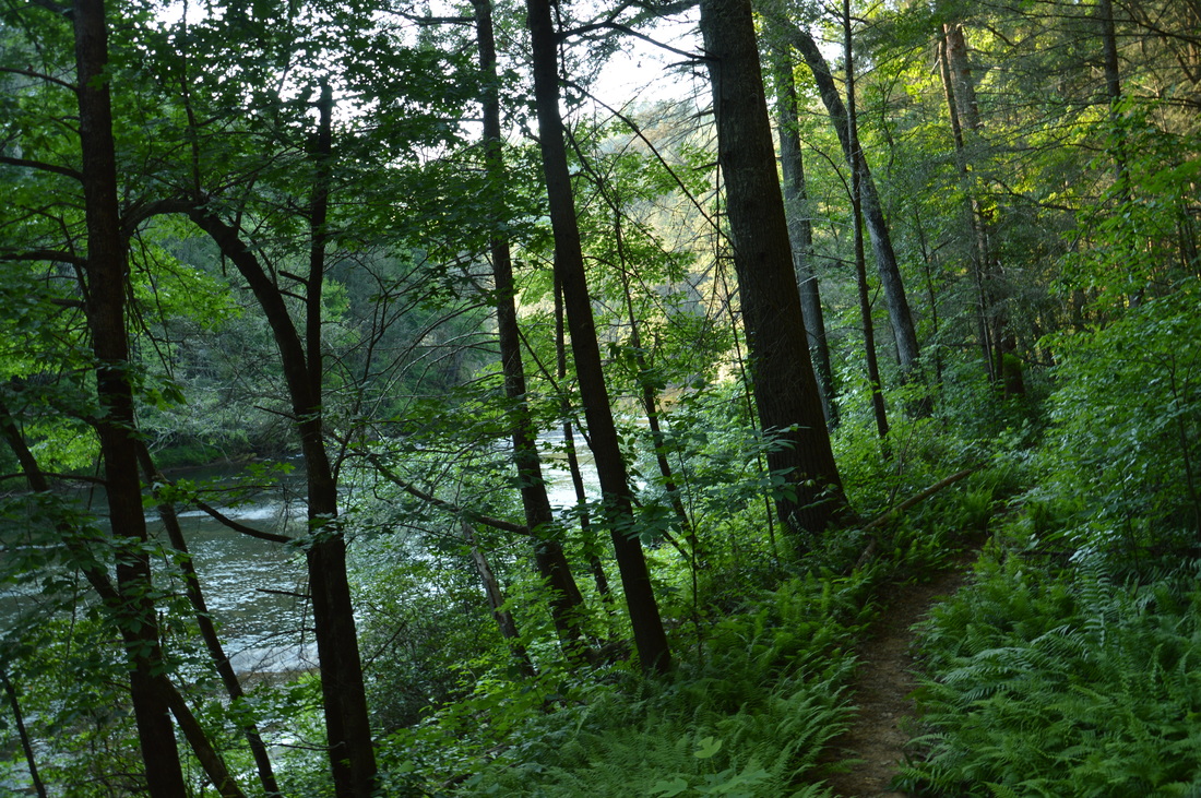
Between miles 7.3 and 9.0 of the hike, the trail closely follows the Chattooga River, offering many great views.
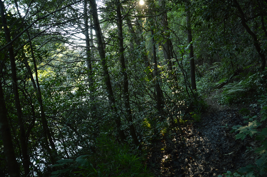
At 9 miles, the time came for the trail to leave the river for the third and final time on this hike. The trail rapidly switchbacked out of the gorge, with some fleeting through-the-trees views of the river below. The initial ascent to the rim of the gorge was over at 9.2 miles, and after this, the trail continued a more gradual ascent, winding in and out of coves. This ascent was a bit longer than I had expected, and a bit too difficult for my liking at a hike's ending. At 9.75 miles, the trail passed over a high point. Then, it descended into a gap, and began to climb towards a nearly 2000-foot high knob. Nevertheless, for some reason, the trail soon began to work its way along a contour line to the south and east of the knob's summit. A trace of uphill still remained, and as the trail advanced northwards, I could hear a great roar coming from the river far below. I imagine that there's some pretty significant rapids down there, but unfortunately, there was no view whatsoever.
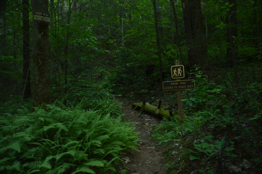
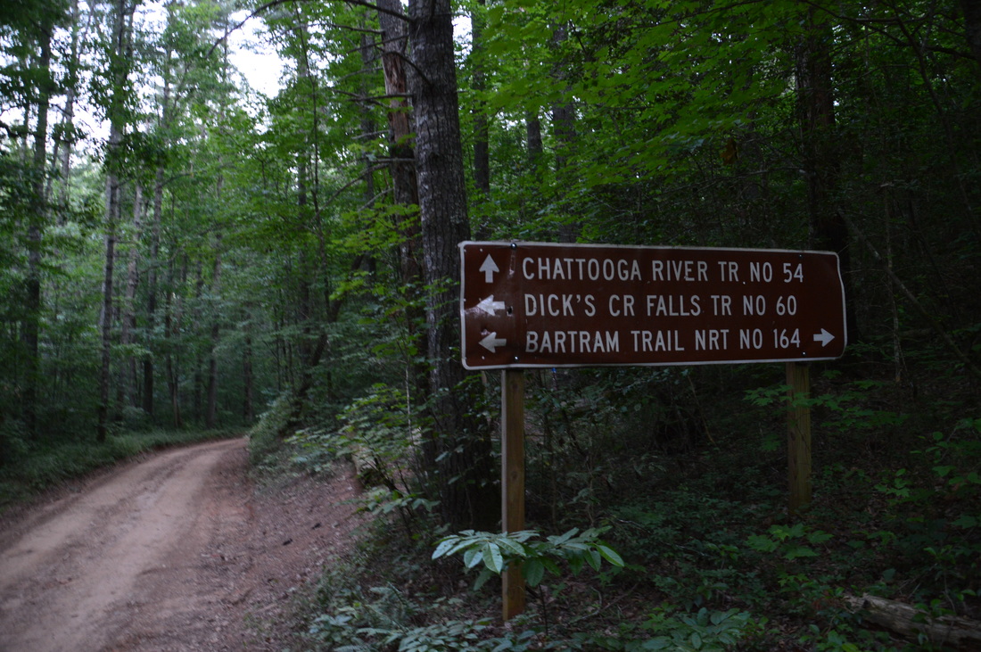
At 10.6 miles, upon reaching a lead branching off eastward from the knob, the trail finally began to descend towards Sandy Ford Road. The moderate descent ended at a rock hop of Rock Creek at 10.95 miles. Just ahead, the trail crossed Sandy Ford Road. However, this is not the trailhead where my second vehicle was parked. The trail actually reaches the official trailhead a short while later. It had been a really hot day, with temperatures in the upper 80s and even low 90s, and I was debating on following the road north to the trailhead, but in the end, I decided to hike the final piece of trail - after all, it really wasn't hard. This final stretch of trail worked its way over several wooded hills with nothing much to see. At 11.7 miles, the Chattooga River Trail arrived at an important junction with the Bartram Trail. The Bartram Trail continued straight. It also turned sharply left. Straight, it continued to Dicks Creek Falls, Earls Ford, and Russell Bridge (at the Highway 28 Trailhead). To the left, it led to the Sandy Ford Trailhead, over Rainy Mountain, and eventually to Warwoman Dell. The Chattooga River Trail doesn't end here - it continues straight in conjunction with the Bartram Trail. However, the section of the Chattooga River Trail between this junction and Highway 28 is more often referred to as a segment of the Bartram Trail, and some may say that the Georgia Chattooga River Trail ends here. Regardless, I would hike the segment of the Chattooga River Trail between the Sandy Ford Trailhead and Russell Bridge Trailhead on another day. To conclude today's hike, I turned sharply left onto the Bartram Trail, which reached Sandy Ford Road in about 250 feet. This is the Sandy Ford Trailhead, marked by a road sign with the names of the Chattooga River Trail, Bartram Trail, and Dicks Creek Falls Trail on it. Turn right onto Sandy Ford Road, and walk for about 200 feet to the parking area where the second vehicle is parked. And so, the hike ends at 11.8 miles at the Sandy Ford Trailhead. The point-to-point distance along the Chattooga River Trail from the US 76 Trailhead to the Sandy Ford Trailhead, excluding the side trip to Bull Sluice, is 11.1 miles. This is a doable hike, although attempting it out and back in a day would probably be a rash idea. There were plenty of scenic campsites along the trail with easy access to water, so I think that this hike - as well as the Chattooga River Trail as a whole - is very suitable for camping. And, experiencing the beauty of the Wild and Scenic River is worth it. Mileage
0.0 - US 76 Chattooga River Trailhead
0.3 - Side trail to Bull Sluice 0.65 - Bull Sluice 1.5 - Side trail to McWorter Lane 5.4 - Brief views of the Chattooga River and campsites 7.3 - Beginning of continuous river views 8.1 - Licklog Trail junction 9.0 - End of continuous river views 10.95 - Sandy Ford Road 11.7 - Bartram Trail junction 11.8 - Sandy Ford Trailhead Variations
Hike out and back to Bull Sluice from US 76 Trailhead - 1.3 Miles
Hike from US 76 Trailhead to Licklog Trailhead - 8.7 Miles Hike from US 76 Trailhead to Russell Bridge (Highway 28) Trailhead - Approximately 20 Miles Bonus Stops
There are a number of waterfalls in South Carolina just east of the US 76 Trailhead. Reedy Branch Falls and the three waterfalls of Brasstown Creek are some of the closest.
PicturesVideos
Please excuse the high brightness on the video. I accidentally had the wrong camera settings on!
3 Comments
Resa Harrison
1/20/2017 05:55:06 pm
I really would like to have a gpx file for this hike. This is the best info that I have found so far on the web. Thank you so much for the info. I plan to do this hike with a friend. I want to go in at the same spot that you entered and then we will continue to the campsites and stay the night. Please if you have a gpx file of this hike I would greatly appreciate it. My e-mail is included. Thanks!
Mark Oleg
1/20/2017 06:50:45 pm
I will be glad to send you the GPS track of my hike. For some reason, it won't let me see your email. Please send me your email address at [email protected] and I will send you the GPS track of this hike as soon as I can.
Randy Foli
10/26/2020 12:35:00 pm
I am planning on hiking this in November. I am trying to find what the best map is so I can begin to plot my trek. Any thoughts? Thank you. Leave a Reply. |
About MeMark Oleg Ozboyd Dear readers: I have invested a tremendous amount of time and effort in this website and the Georgia Waterfalls Database the past five years. All of the work that has gone in keeping these websites updated with my latest trip reports has almost been like a full-time job. This has not allowed me to pick up a paid job to save up money for college, and therefore, I I've had to take out loans. If you find the information on this website interesting, helpful, or time-saving, you can say "thanks" and help me out by clicking the button above and making a contribution. I will be very grateful for any amount of support you give, as all of it will apply toward my college tuition. Thank you!

Coming in 2022-2023?
Other Hiking WebsitesMiles HikedYear 1: 540.0 Miles
Year 2: 552.3 Miles Year 3: 518.4 Miles Year 4: 482.4 Miles Year 5: 259.9 Miles Archives
March 2021
Categories
All
|


 RSS Feed