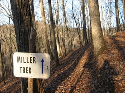
 Miller Trek. Thinking of the name brings to mind a touristy pathway leading to a large waterfall or a panoramic vista. Instead, what you'll find on this short hike is nothing but one of the best experiences of North Georgia's mountain's forests and a touch of solitude. Located in the Brasstown Valley area of extreme northern Georgia, this little-used loop might be one of the best winter hikes in Georgia, as when the leaves are down, you will find a lot of views in various directions. The name is after Zell Miller, a former Georgia senator. He and his wife loved the nature around Brasstown Valley, and they wanted to save the area from developments. Since recently Brasstown Valley Resort and the National Forest Service partnered together to create the Miller Trek, Miller's dream came true. This hike occurred on Wednesday, December 31st, 2014. My plan was to hike the Miller Trek Loop clockwise. R/T Length of Trail: 7 Miles Duration of Hike: 3:45 Type of Hike: Loop Difficulty Rating: 5 out of 10 Pros: Solitude; winter views Cons: Confusing start Scenic Views: None Water Features: None Best Season(s) to Hike: Winter Trail Blaze Color(s): Miller Trek - Lime Green and Blue Beginning Point: Hikers parking area at Brasstown Valley Resort Directions: From Young Harris, GA: Follow US Route 76 North for 1.4 miles until Brasstown Valley Resort entrance. Turn right onto Deer Path Lane and follow it for 1.2 miles to the lodge, then keep left to the golf course. You should see a sign for trailhead parking. This hike is unlike most listed on this website. It doesn't lead to any waterfall or overlook. It will probably not attract the attention of most hikers seeking some sort of attraction, as the main attraction here is a walk in the woods. Thus, I would say that mainly hiking enthusiasts would be interested in this hike.
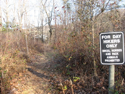
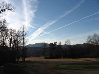
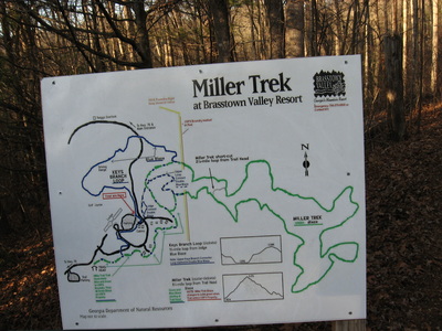
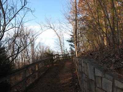
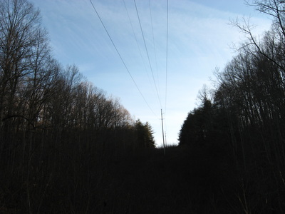
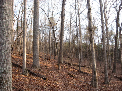
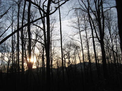
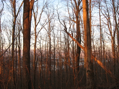
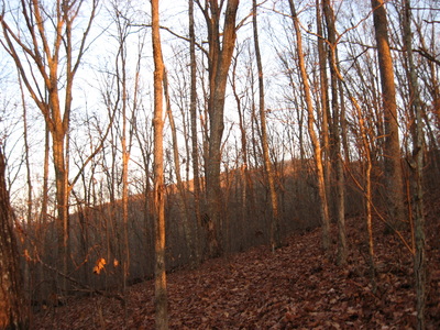
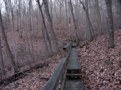
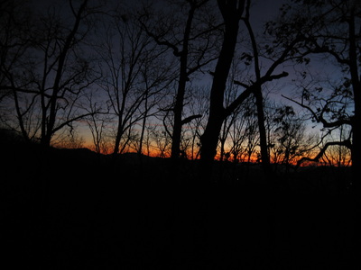
The hike starts on the property of Brasstown Valley Resort, and perhaps the hardest part of it is to find the start. I didn't have a lot of information about it, and started it not the way it's supposed to be. From the parking lot, take the wide grassy path with a sign "Hikers only". This path shortly leads out onto the road. Seeing no additional information as to where the trail goes, I went across the road and followed the paved path, which eventually led me onto one of the horse trails. I did find my way to Miller Trek, but that's not how it's supposed to be. So once you reach the road, just go up the road a little bit, and when you reach the employee parking area, watch for "T" symbols painted on the asphalt. They will lead you right to the start of Miller Trek, marked by an arch and information plaque. The first section of the hike is pretty, as it slowly ascends along a small cascading stream. The trail will parallel the road and pass some cabins on the left. At 0.5 miles, the trail leaves the stream and ascends to the lower loop junction at 0.6 miles. I decided to do the loop clockwise, which means you'll come out at this point. For now, continue following the trail forward. It will stay along the lower slopes of Rocky Knob. Soon, the trail starts descending into Walnut Cove. However, before fully descending, reach the upper loop junction of Miller Trek at 0.9 miles. Turn right here. At 1 mile, cross the powerline cut, and on the other side of the powerline cut, enter National Forest land. Blazes change to lime green. After entering the National Forest, the next couple miles are mainly a slow ascent winding along the thinly wooded slopes of Rocky Knob. For the first mile, the views are excellent to the north towards the Tusquitee Mountains. At 1.7 miles, reach a trail junction. The trail right is a short connector that cuts off some mileage to the loop. To follow the main loop, keep left. Shortly cross an old road, then climb out onto the slope of a small ridge that runs below Rocky Knob. From here, the best views are more to the east/northeast. There are excellent winter views of Lake Chatuge and Hiawassee. Just below the last climb to Rocky Knob, cross a long footbridge over a stream drainage of Long Bullet Branch. This might have been one of the longest footbridges I have ever seen! After this, the grade slightly steepens. It is somewhat unclear where the summit is, as the long ridge seems to have similar summits. I almost thought the trail wouldn't reach the summit as it started descending back to a gap in the ridge, but then, it switchbacked up to the summit of Rocky Knob. The best views are from the summit area, as you can see in all directions when the leaves are off. The trail makes almost a complete circle around Rocky Knob but never quite reaches the summit, although passes very close. As it makes the circle, there are even some views east and south. The trail passes through a gap that acts as the highest point on the hike at around 3.5 miles. Elevation here is 3270 feet. After the gap, Miller Trek begins a long descent back to Brasstown Valley. Shortly after the gap, pass a rocky area which might afford partial summer views, perhaps the only spot on the trail that has them. The descent is pretty similar to that ascent, and there are good winter views throughout most of it too. The first section along a ridge offers views west and southwest as well. Also, there are two more, shorter footbridges over stream drainages of the same stream that is in the beginning. At around 5 miles, reach the other end of the shortcut. Following the shortcut would have shortened the mileage to a 2.5 mile loop.After the shortcut, a short descent through a small pine forest leads to the powerline cut and finishes the loop section of the hike. Turn left, and retrace your steps back to the parking area, reaching it at 7 miles. In summary, this is a very nice, peaceful hike, good for a morning run or added to some other hike. Below are my pictures.
1 Comment
8/3/2022 05:28:30 pm
Edirne ECA servisi hizmetlerimiz memnuniyet odaklıdır. Detayları incelemek için hemen web adresimize göz at! https://www.edirneklimaservisi.com/edirne-eca-servisi/
Reply
Leave a Reply. |
About MeMark Oleg Ozboyd Dear readers: I have invested a tremendous amount of time and effort in this website and the Georgia Waterfalls Database the past five years. All of the work that has gone in keeping these websites updated with my latest trip reports has almost been like a full-time job. This has not allowed me to pick up a paid job to save up money for college, and therefore, I I've had to take out loans. If you find the information on this website interesting, helpful, or time-saving, you can say "thanks" and help me out by clicking the button above and making a contribution. I will be very grateful for any amount of support you give, as all of it will apply toward my college tuition. Thank you!
Coming in 2022-2023?
Other Hiking WebsitesMiles HikedYear 1: 540.0 Miles
Year 2: 552.3 Miles Year 3: 518.4 Miles Year 4: 482.4 Miles Year 5: 259.9 Miles Archives
March 2021
Categories
All
|

 RSS Feed