Cedar Point Environmental Park is one of two preserves that are operated by the Charlotte Harbor Environmental Center, with the other one being the Charlotte Harbor Environmental Park south of Punta Gorda. Cedar Point Environmental Park protects 130 acres of land along Lemon Bay. The park's namesake is Cedar Point, a small promontory that stretches out into Lemon Bay, separating the bay from Oyster Creek. On this hike, you will first be treated to a couple views of Oyster Creek just east of its mouth, before seeing Lemon Bay itself from Cedar Point. Much of the hike is in pine flatwoods or palm hammocks, but for the tiny size of this parcel of land, the feeling of remoteness is greater than one would expect. This hike occurred on Wedneday, July 13th, 2016. My plan was to make an outer loop across the entire Cedar Point Environmental Park's extremely confusing trail system. I would make a side trip to Cedar Point along the way.
Summary
R/T Length of Trail: 3.2 Miles
Duration of Hike: 1:35 Type of Hike: Loop Difficulty Rating: 1 out of 10 Total Elevation Gain: Minimal Pros: Many views of Oyster Creek and Lemon Bay Cons: Very confusing trail system with many short trails combined together Points of Interest: Vantage point with views of Oyster Creek from Oyster Creek Walkway; Vantage point with views of Oyster Creek from Big Pine Trail; Cedar Point with views of Lemon Bay and Oyster Creek; Marsh on Marsh Trail Trail Blaze Color(s): None, but signs mark all intersections Best Season(s) to Hike: Year-round Fees: None Beginning Point: Oyster Creek Trailhead Directions from Englewood, FL: From the intersection of Indiana Avenue and Dearborn Street, drive south on Indiana Avenue. This is also FL State Route 776. In 2.4 miles, turn right onto Placida Road. Continue on Placida Road for 1.1 miles. Just after passing Lemon Bay High School to your left, turn right and enter Cedar point Environmental Park. If you have reached the Oyster Creek Bridge, you have driven too far. Once you turn into the park, the first trailhead and parking area will be just ahead to the left. This is where the hike begins, although there is another trailhead farther down the entrance road at the Cedar Point Environmental Center. Map
Click here for more information and to download this trail map to view in Garmin Basecamp.
Details
"Utterly confusing" are two words that describe the trail system at Cedar Point Environmental Park best, and I am surprised that I was actually able to hike the full trail system more or less as I had planned to. I had an outdated trail map, but since then, most of the trail names had been changed, and many of the trails had been rerouted. Additionally, there were so many different short trails that it was hard to keep track of the general route. I have not been able to find an updated trail map for the park, so you will have to follow my GPS track and this trail report as best you can, if you're interested in this hike. Of course, it is not necessary for you to do the outer loop, like I did - there is a much straighter way to Cedar Point from the environmental center.
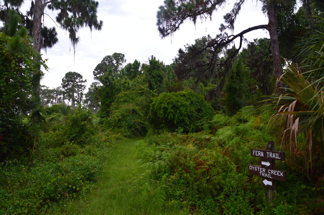
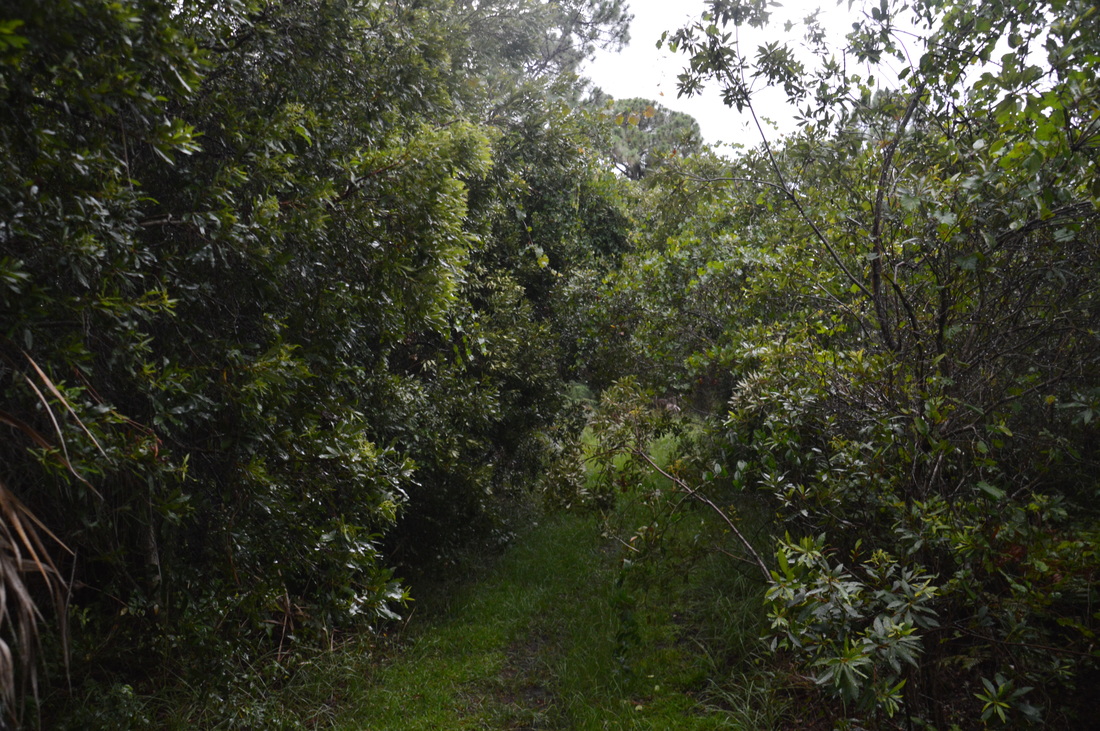
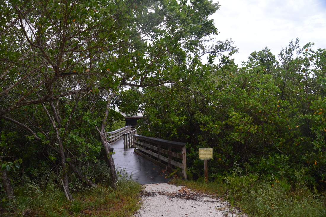
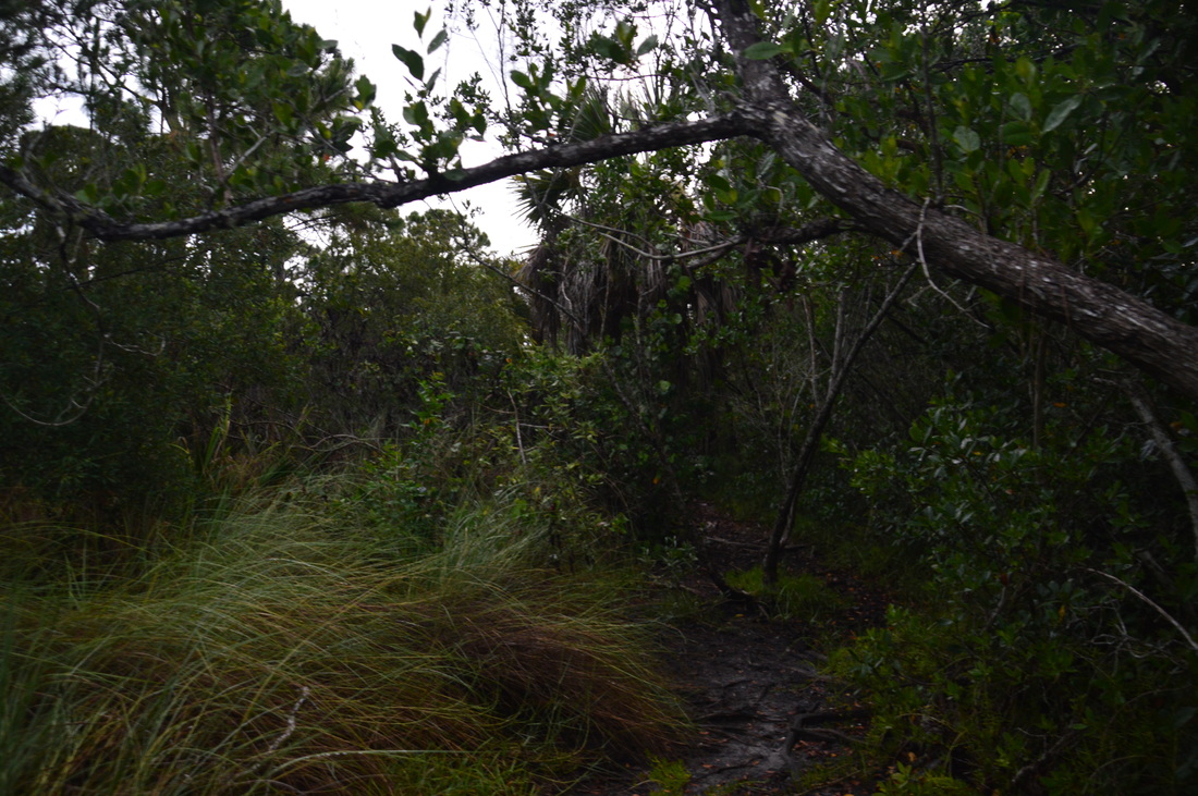
Two trails begin at the Oyster Creek trailhead: the Oyster Creek Loop and the Fern Trail. The Oyster Creek Loop is actually a separate trail that does not connect to the main trail system - it leads to the Oyster Creek Walkway at the southeast end of the park. The Fern Trail is the trail that connects to the main trail system, but first, I wanted to hike the Oyster Creek Loop. From the parking area, walk past a kiosk to the beginning of the trail on the north side of the parking area and to the left of the entrance road. it is marked by a sign "Oyster Creek Trail ^ ". Just past the trailhead the Fern Trail leaves to the right. You'l hike it later - continue straight on the Oyster Creek Trail. The trail turns south, heading towards Oyster Creek. Initially in a hammock, the trail is slightly overgrown in some areas, and since I was hiking this trail right after a heavy downpour, the tall, damp grass essentially got my feet wet as if I was walking through a swamp! At 0.25 miles, the Oyster Creek Trail reaches the Oyster Creek Walkway junction. Turn right and walk onto the boardwalk that provides a great view at 0.3 miles of Oyster Creek at the Placida Road bridge. From the walkway, return to the junction and continue following the Oyster Creek Loop, now heading northbound through pine flatwoods. At 0.5 miles, the trail returns to the trailhead. 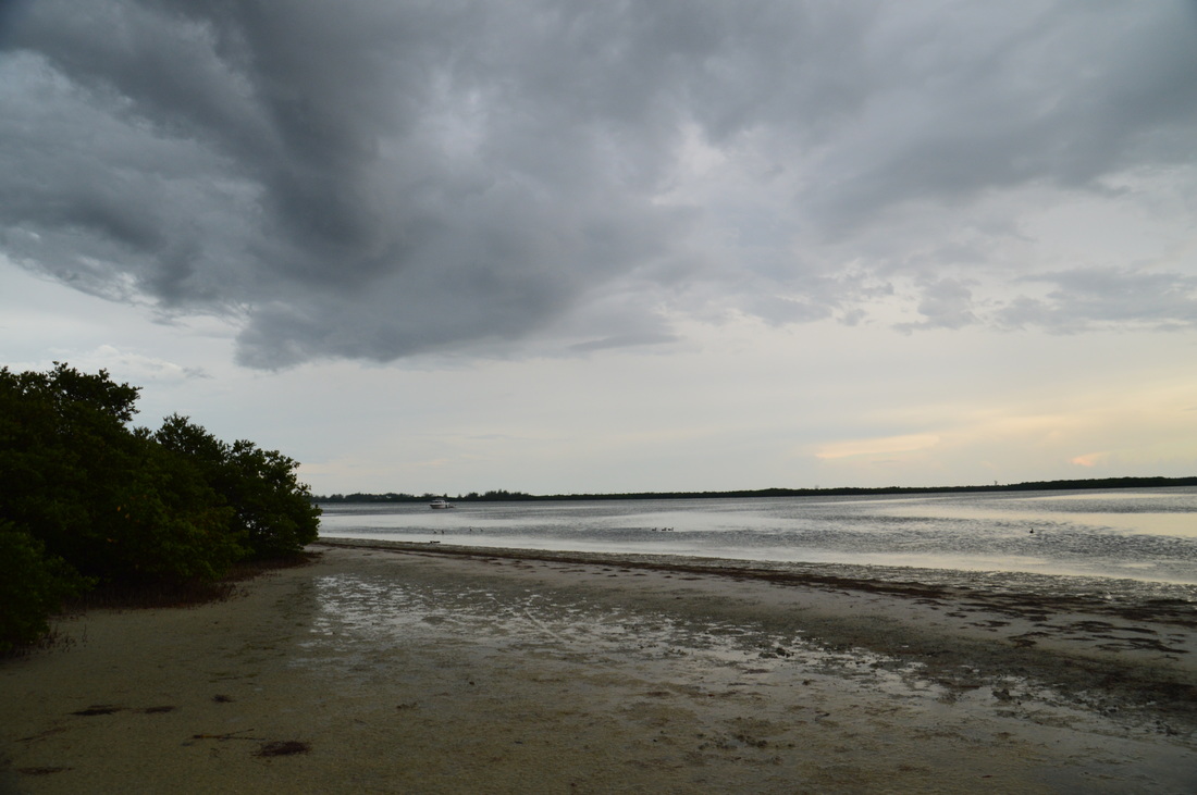
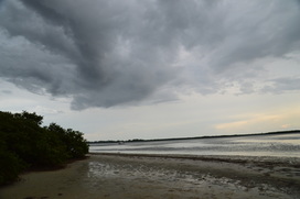
Beach-like area at the mouth of Oyster Creek
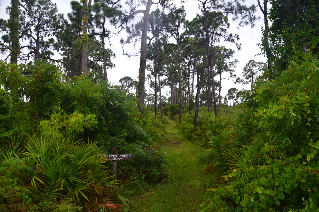
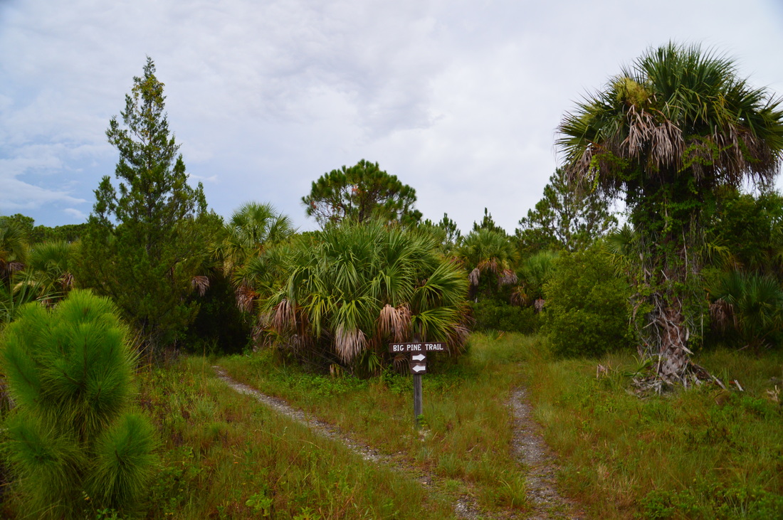
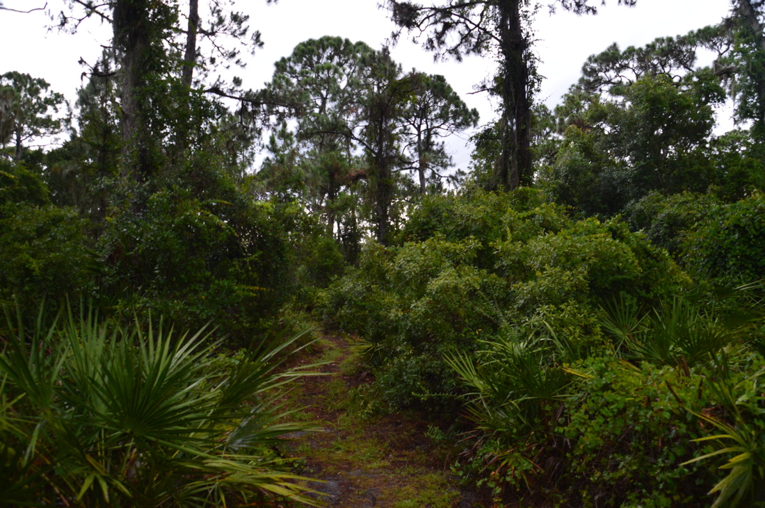
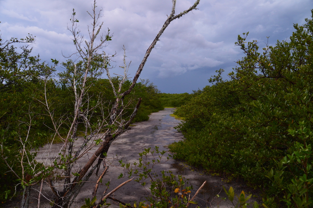
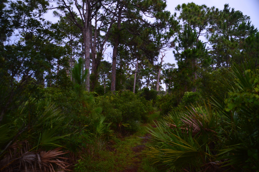
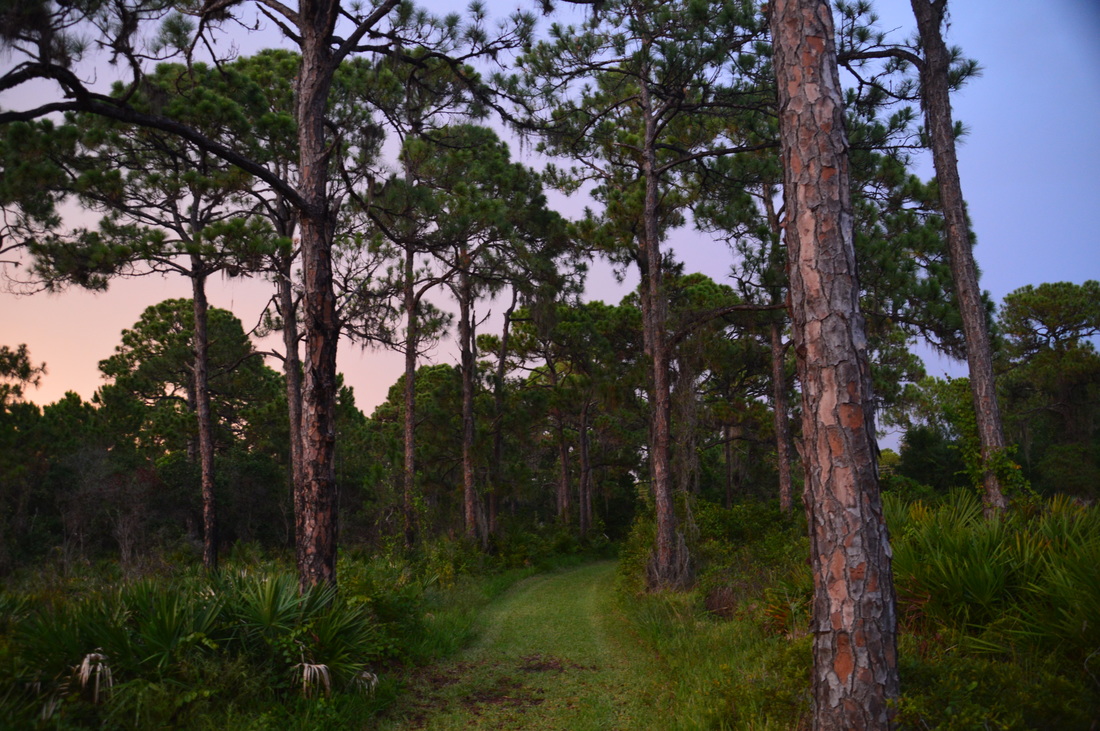
After grabbing some extra water from your car, continue to the beginning of the Fern Trail. Take this trail, now hiking westward. and then southward through a pine forest with a dense understory full of palmetto and other growth. At 0.6 miles, the Big Pine Trail takes off to the right. The Fern Trail continues straight to a dead-end at a mangrove wall at 0.75 miles. The dead-end is illogical, bu I could not find any continuation of a trail here, so I returned to the Big Pine Trail junction at 0.9 miles, turning left onto this next trail. The Big Pine Trail continued westward to a junction with a spur trail at 1.2 miles, where the main trail makes an acute right turn.
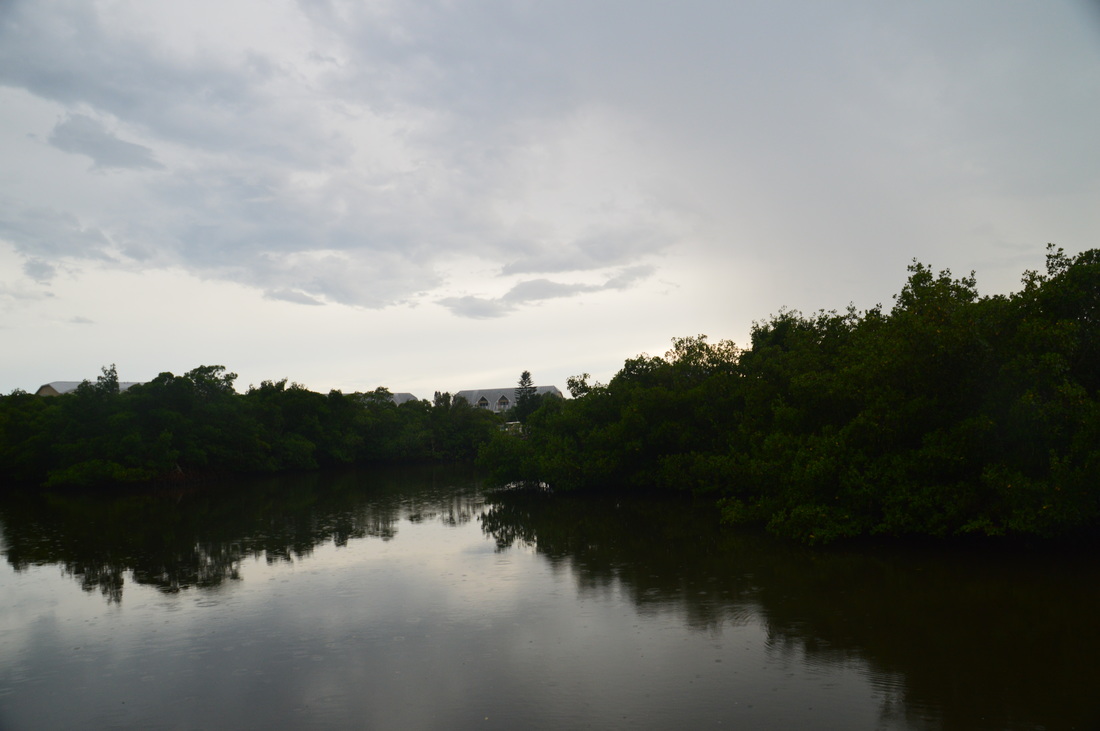
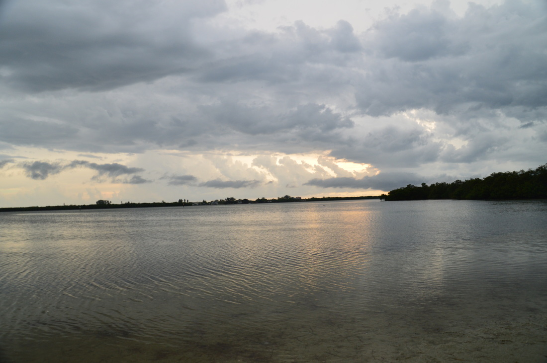
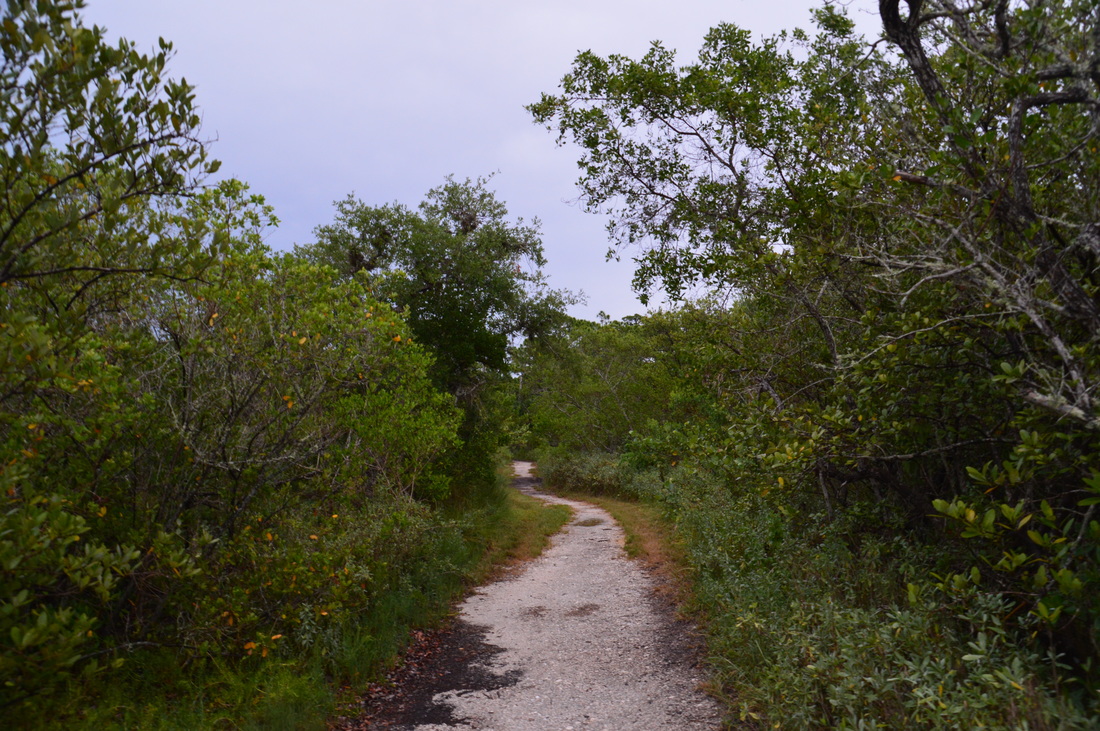
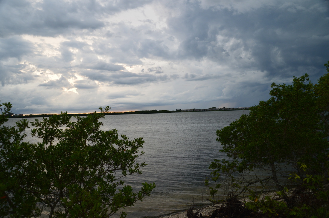
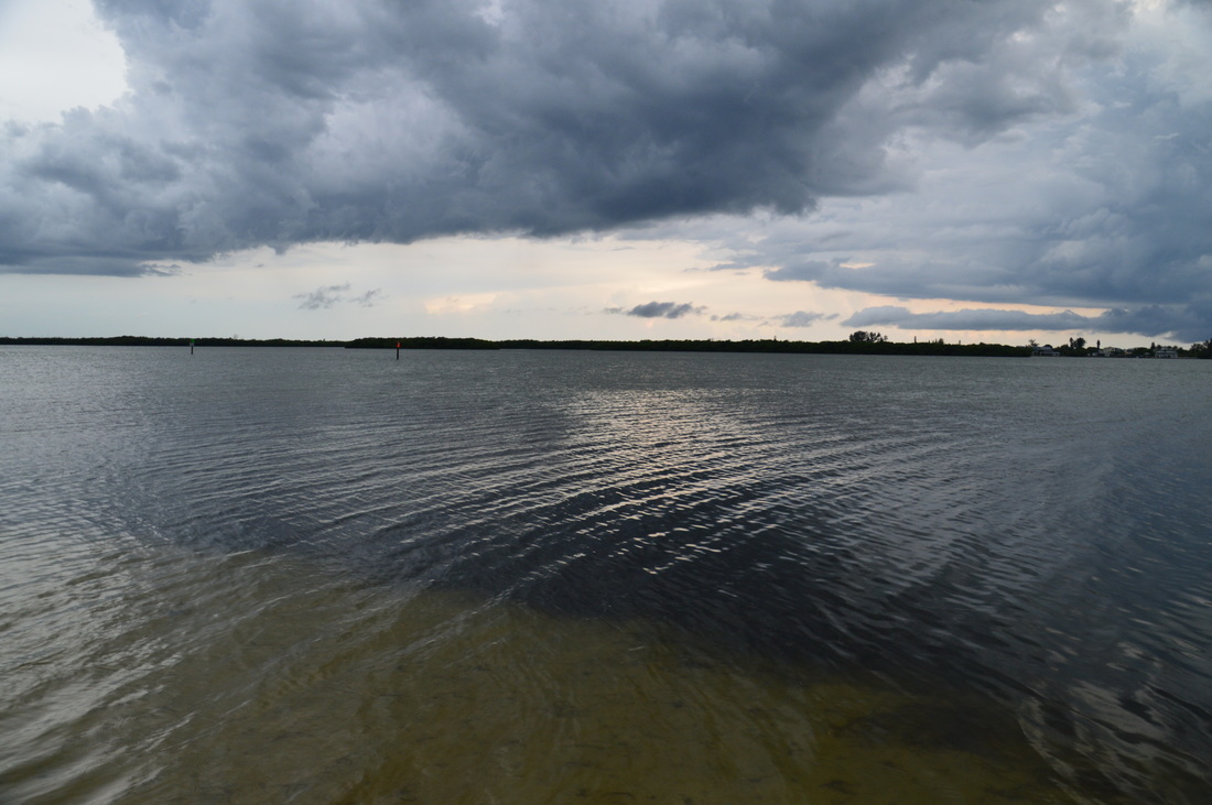
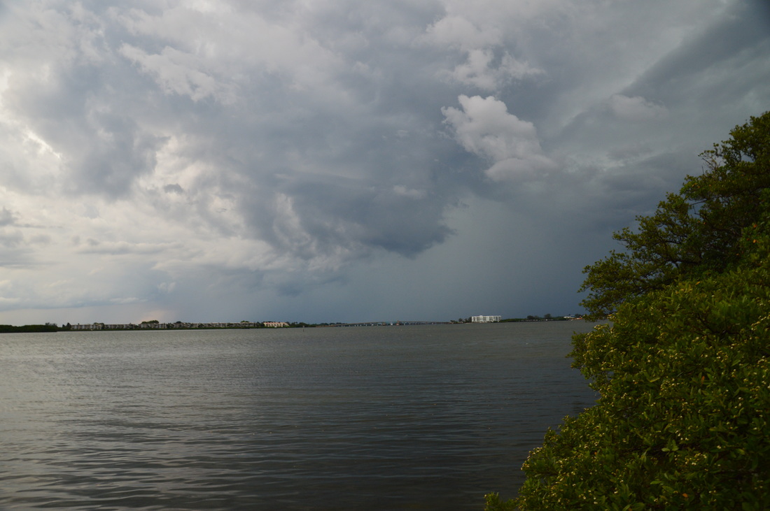
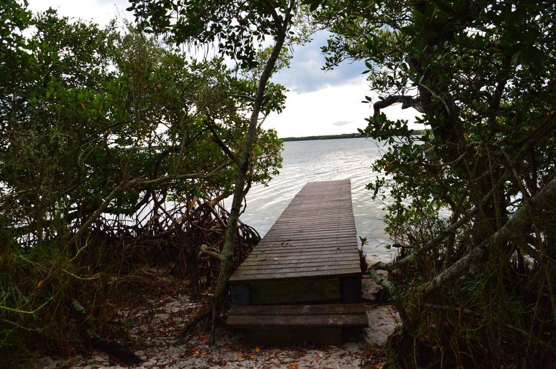
The spur trail is worth taking. It leads out in a hundred feet to a narrow beach-like strip along Oyster Creek at the creek's mouth. From here, portions of Lemon Bay are visible, and you can observe fish swimming through the shallow water, leaving trails of ripples behind, From the beach area, return to the Big Pine Trail and take the left fork to continue towards Cedar Point. At 1.5 miles, the Big Pine Trail ends at the Jeep Trail. The Jeep Trail is a wide double-track trail that passes through the center of the park, providing the most direct approach to Cedar Point from the environmental center. Turn left onto the Jeep Trail, and follow it westward towards Cedar Point. Along the way, you will pass an interesting sight: a cedar grove, something that is not very common on Florida hiking trails. You will also pass a salt marsh to the right, before the Jeep Trail ends at a picnic area at Cedar Point at 1.8 miles. Straight ahead, a narrow path continues to a short boardwalk that leads out to excellent views of Lemon Bay. To the right (north), you can see the Manasota Key Bridge, straight ahead you can see Manasota Key itself located on the other side of the narrow bay, and to the left is the section of Lemon Bay where Oyster Creek provides its share of freshwater. 
Boardwalk at Cedar Point with views of Lemon Bay
From Cedar Point, retrace your steps back east along the Jeep Trail. Continue past the Big Pine junction. At 2.2 miles, the Jeep Trail arrives at a junction with the "Danny+Pat Girard Trail", a little-used connector trail that leads north through pine flatwoods to the Tortoise Trail. Turn left onto this trail, It bends out of sight around a finger of Lemon Bay, before arriving at the Tortoise Trail at 2.35 miles. Turn left here. The Tortoise Trail is the only trail into the small northwestern corner of the park.
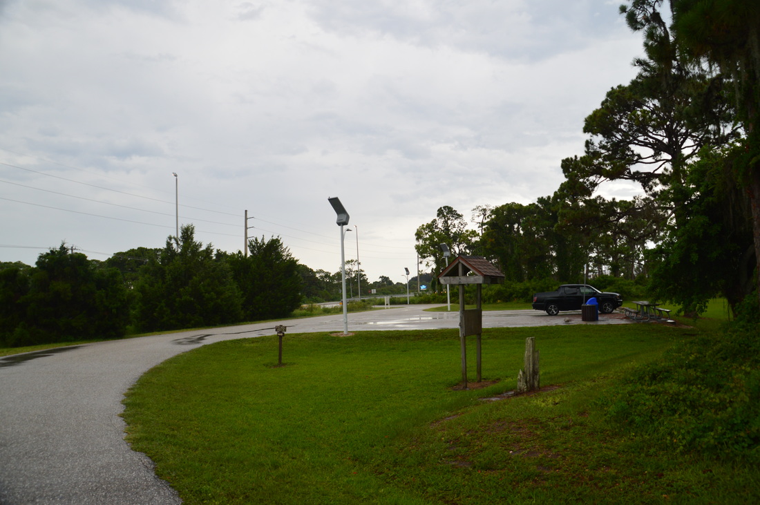
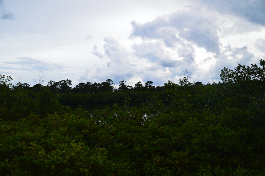
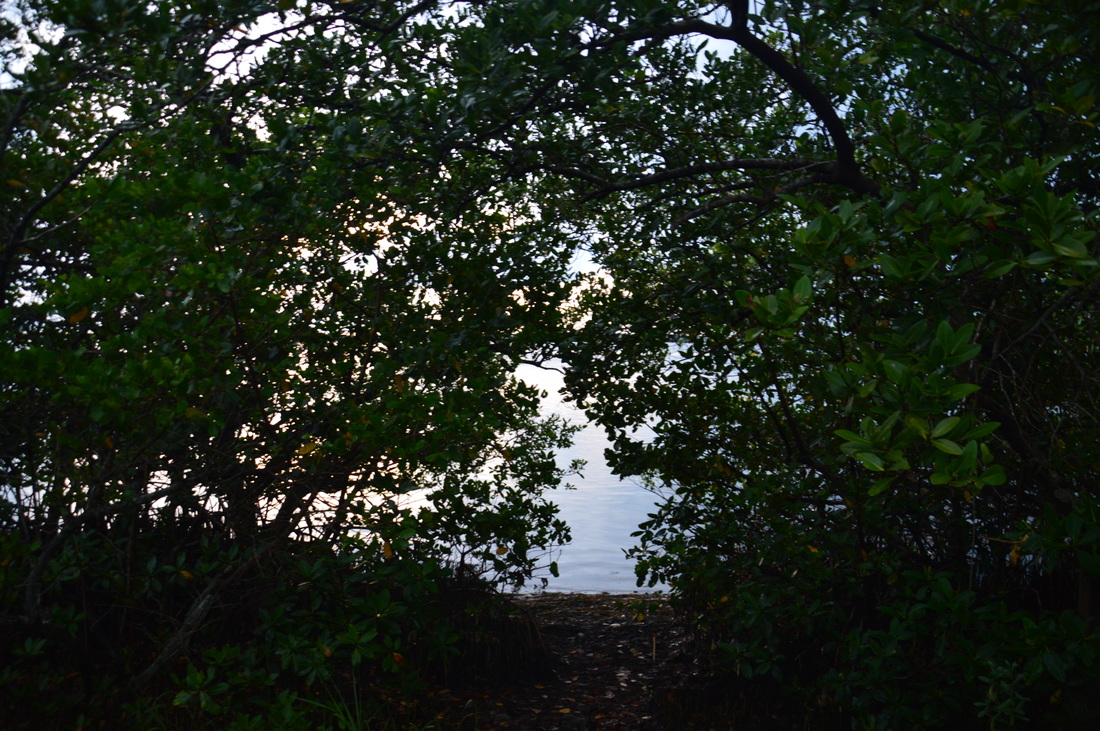
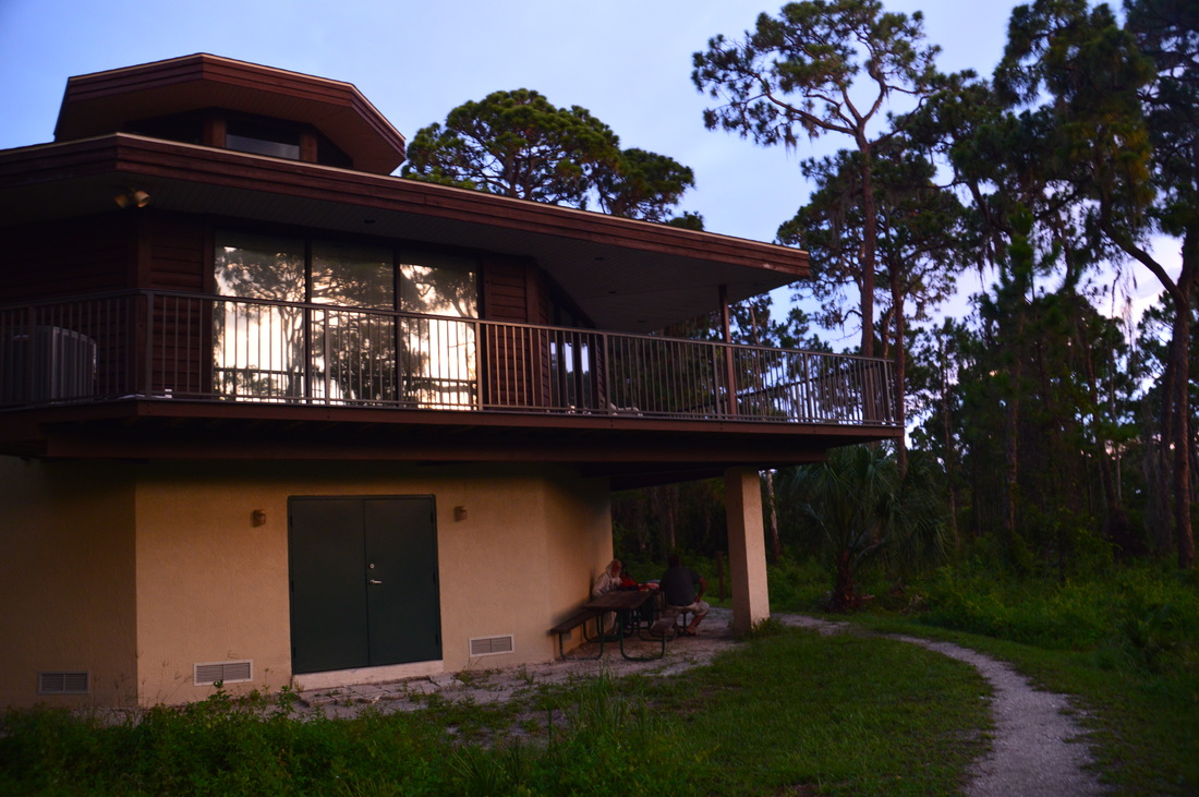
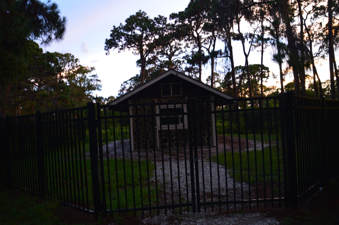
At 2.4 miles, a mini loop began. The Crystal Trail began ahead, while the Tortoise Trail continued to the left. I turned left to hike the loop clockwise. Shortly afterwards, another trail began to the left: the Marsh Trail. This short side trail led to views of a mangrove marsh. I took it, as it is only slightly longer than the main trail, and it reconnected to the Tortoise Trail. The marsh that is seen on this trail actually connects to Lemon Bay just to the southwest. After the Marsh Trail, the Tortoise Trail continues to its end at 2.6 miles. Here, there is an interpretive kiosk, as well as a muddy path that breaks through the wall of mangroves to the shore of Lemon Bay. From this point, the Crystal Trail continues back to the start of the mini loop. The Crystal Trail is a lot less traveled than the other trails in the park- it appears that people like to simply hike out and back along the Tortoise Trail. The Crystal Trail approaches the park boundary, where some houses come in view, before the end of the mini loop at 2.8 miles. From ere, continue on the Tortoise Trail towards the environmental center. Follow the signs for the Tortoise Trail - the trail ends at the environmental center at 3.05 miles. Take a peek around the environmental center, before continuing to your car. The last part of the hike is along the entrance road. Near the visitor center, take a look at the "Cookie House" to the right. Built in 1931, this house was the personal home and laboratory of John Foster Bass Jr., the founder of the Bass Biological Laboratory and Zoological Research Supply Company. The historic house has a unique construction, known as the stonewood technique, no other examples of which can be found in Florida. The house was originally in a different location, but it was relocated to Cedar Point Environmental Park in 2006 in order to preserve it. Leaving the environmental center area, continue down the entrance road to the Oyster Creek Trailhead and the end of the hike at 3.2 miles. Mileage
0.0 - Oyster Creek Trailhead
0.3 - Oyster Creek Walkway 0.5 - Oyster Creek Trailhead 1.2 - Beach-like area at the mouth of Oyster Creek 1.8 - Cedar Point 2.5 - Mangrove marsh views 2.6 - Lemon Bay view 3.05 - Cedar Point Environmental Center and the Cookie House 3.2 - Oyster Creek Trailhead Variations
Bonus Stops
PicturesVIdeos
1 Comment
Tracy
7/10/2024 01:09:23 pm
Wonderful explanation of the trails here, I did complete all of the trails at cedar point and oyster creek across the street. It can be confusing at first. The nature center at cedar point also had a night wading excursion which I signed up for it was fun as well. Leave a Reply. |
About MeMark Oleg Ozboyd Dear readers: I have invested a tremendous amount of time and effort in this website and the Georgia Waterfalls Database the past five years. All of the work that has gone in keeping these websites updated with my latest trip reports has almost been like a full-time job. This has not allowed me to pick up a paid job to save up money for college, and therefore, I I've had to take out loans. If you find the information on this website interesting, helpful, or time-saving, you can say "thanks" and help me out by clicking the button above and making a contribution. I will be very grateful for any amount of support you give, as all of it will apply toward my college tuition. Thank you!

Coming in 2022-2023?
Other Hiking WebsitesMiles HikedYear 1: 540.0 Miles
Year 2: 552.3 Miles Year 3: 518.4 Miles Year 4: 482.4 Miles Year 5: 259.9 Miles Archives
March 2021
Categories
All
|


 RSS Feed