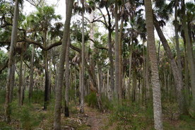
St. Marks National Wildlife Refuge is one of the most beautiful natural areas in Florida. Nearly 50 miles of the Florida Trail pass through the refuge, which has a mixture of wetlands, pine flatwoods, palm hammocks, creeks, and even springs and salt water views. Shepherd Spring is one of the major points of interest in St. Marks NWR, and the nearby Cathedral of Palms - a large patch of old growth cabbage palm forest - is a very unique sight. This hike on the Florida Trail visits both of these features using the long way through a variety of ecosystems east of Wakulla Beach Road. This hike occurred on Saturday, December 31st, 2016. My plan was to hike the Florida Trail from the Thompson House Trailhead near US 98 to Shepherd Spring, passing through the Cathedral of Palms. My return route would include much of the same trail, but to make a difference, I would use two high water routes on my way back.
Summary
R/T Length of Trail: 15.2 Miles
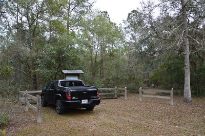
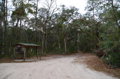
Duration of Hike: 7:00 Type of Hike: Out and Back with Two Small Loop Sections Difficulty Rating: 4 out of 10 Total Elevation Gain: Minimal Pros: None Cons: The sections of the hike that follow Refuge Roads can get boring; the high-water bypass at Refuge Road 207 is no longer maintained Points of Interest: Cathedral of Palms (old-growth palm forest); Shepherd Spring Trail Blaze Colors: Florida Trail - Orange; High-Water Bypass Trails - Blue; Shepherd Spring Spur Trail - Blue Best Seasons to Hike: Winter Fees: None Beginning Point: Thompson House Trailhead Directions from St. Marks, FL: From the intersection of US Route 98 and FL Route 363 north of St. Marks, follow US 98 West for 2.6 miles. Then, turn left onto an unsigned dirt road that goes through a break in a fence. This is the road that leads to the Thompson House. If you have reached Wakulla Beach Road, then you have driven too far. After turning onto the dirt road, continue for about 200 feet to a small fenced-in parking area and a trailhead kiosk to the left. This is where the hike begins. Map
Click here for more information and to download this trail map to view in Garmin Basecamp.
Details
In my opinion, Florida's signature tourist spring, such as Manatee Springs, Fanning Springs, Ichetuknee Springs, etc., - while beautiful - are not exactly sights that I love to see, due to the amount of people that are usually present. There are plenty of other major springs in Florida, though, that are not so easily accessed. Shepherd Spring is one such spring. Located on the Florida Trail, reaching the spring requires a hike of several miles from either direction, and if you wish, there are ways to turn it into a much longer hike, which is the hike that I did and the hike that is described here. One of the biggest attractions along the hike is the Cathedral of Palms, which is an area of old-growth palm forest, and I was really looking forward to visiting it.
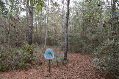
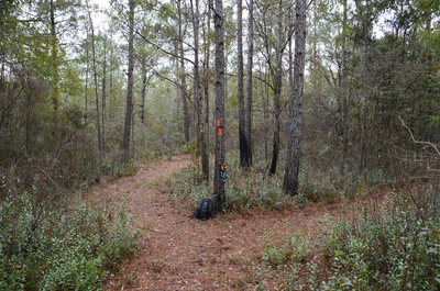
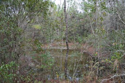
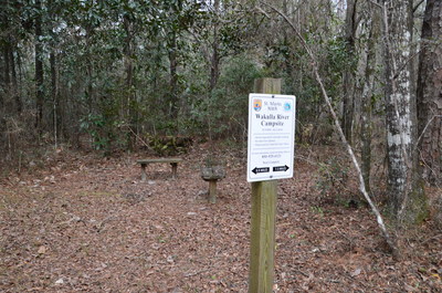
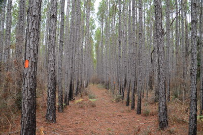
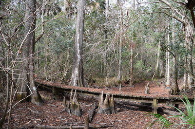
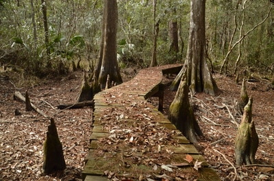
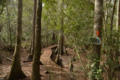
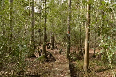
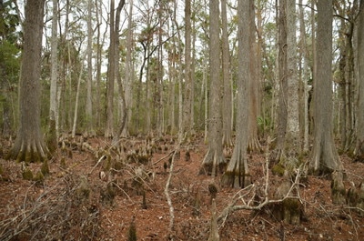
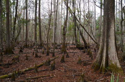
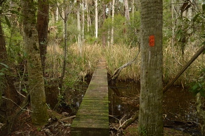
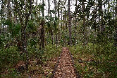
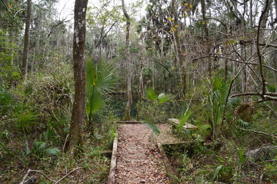
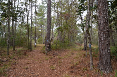
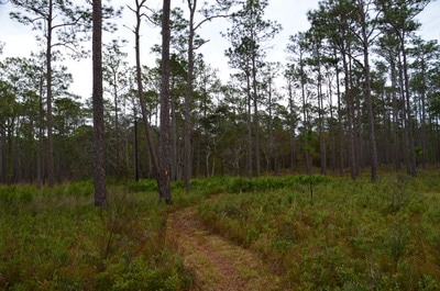
A short blue-blazed connector trail to the Florida Trail begins at the Thompson House Trailhead. The beginning of the trail is marked by a Florida Trail sign. A short walk of about 250 feet brings you to the end of the connector trail at the orange-blazed Florida Trail. A left turn on this trail will shortly bring you to US 98; for the hike to Cathedral of Palms and Shepherd Spring, turn right. The trail shortly passes a small depression with water in it to the left. At 0.15 miles, a forest road to the right leads to the Thompson House. Right afterwards, pass the Wakulla River Campsite - along with a pair of benches - to the left. The trail soon enters a long stretch of mostly pine forest. At 1.0 miles, the trail crosses a forest road. A short distance after this forest road is a junction with the "high-water bypass" for the following stretch of trail. However, it is my understanding that the bypass is no longer used or maintained, because there is no sign here, the bypass trail is overgrown, and blazes are nearly non-existent. In fact, when I was hiking in, I never noticed the junction with the bypass, and I only found it when I actually decided to utilize the bypass for a loop on the way back! As the trail enters a slightly moister ecosystem, the pines disappear. On this day, the entire area was pretty much dry, although I am sure that during the wet season, it can get a bit wet here. At 1.65 miles, the trail crosses a picturesque boardwalk through a group of cypress trees. There was no water here on this day, but judging by the height of the boardwalk, I have no doubt that this can be a swamp during certain times of the year! After the boardwalk, the forest becomes more diverse with an increase in palms and even some oaks. At 2.6 miles, the trail crosses Reserve Road 208. Following the orange blazes through a mixed upland forest, cross Reserve Road 207 at 3.1 miles. This is also the other end of the high-water bypass, which follows Reserve Road 207 for much of its length.
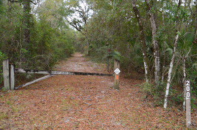
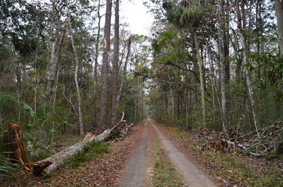
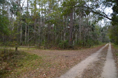
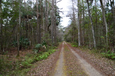
At 3.6 miles, the trail approaches Reserve Road 200. After passing a marsh to the left, the trail reaches Reserve Road 200 at 4.0 miles. Turn left onto the road to follow the trail. After passing on an elevated berm through a small area of cypress swamp, the trail turns left off the road, although it rejoins the road a short distance further, and there is no big difference whether you walk the road or the trail that parallels the road. At 4.25 miles, the trail reaches Wakulla Beach Road and the traditional trailhead for Shepherd Spring. There is a large parking area and trailhead kiosk here. To continue on the Florida Trail, cross Wakulla Beach Road and continue following Reserve Road 200 westward. This part of the road, also known as North Line Road, is open to vehicles during hunting season. The trail follows the essentially straight-line road for nearly two miles, and over the course of these two miles, there isn't much to see in the surroundings except an occasional stretch of cypress swamp.
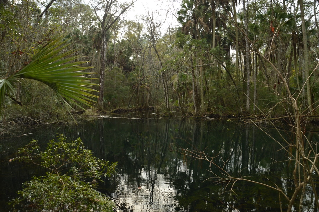
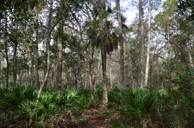
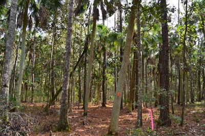
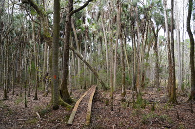
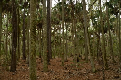
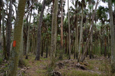
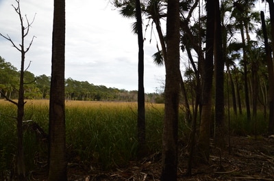
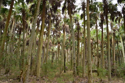
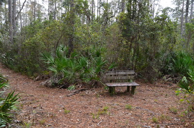
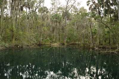
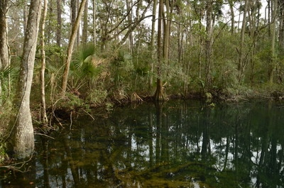
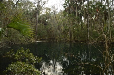
After a seemingly endless walk along RR 200, the trail finally turned left off the road at a junction with RR 209. The signed and blazed trail takes off into the forest diagonally left between RR 209 and RR 200. As the trail approached the Cathderal of Palms, I noticed the increasing number of palms in the forest. At 6.5 miles, a series of boardwalks takes the trail across a marshy area that is at least somewhat wet year-round. After the last boardwalk, the trail enters the Cathedral of Palms at 6.55 miles. This is a very beautiful stretch of trail, as the forest is composed of almost solely tall palm trees. At one point, a marsh will be visible to the left. At 6.95 miles, the trail leaves the Cathedral of Palms and then crosses RR 215 at 7.1 miles. Right after the road crossing, there is a trail junction with a bench and a sign. Here, the Florida Trail bears right, while the spur trail to Shepherd Spring turns left. Make sure to take the short side trail to the spring. The side trail soon turns into a boardwalk across a seasonally wet area, ending at an observation platform with a bench in front of Shepherd Spring at 7.2 miles. The spring has a beautiful, pristine pool. After scrambling around along the densely-vegetated shore of the pool, I got to a vantage point with some views of the spring's outflow. I have read about a "huge resident alligator" at this spring, but if one exists, I did not see it on this day.
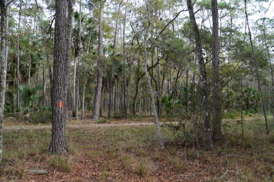
From Shepherd Spring, return to the main trail and turn left onto it to hike the loop that utilizes more of RR 200 as a high-water route. At 8.0 miles, the trail passes the Wakulla Field Campsite, which is in a grassy clearing on a short side trail to the right. At 8.4 miles, the trail crosses a forest road, and at 8.55 miles, after a period of pine flatwoods, the trail reaches RR 200. The Florida Trail turns left onto RR 200 and continues to Spring Creek Highway, but to return to the Thompson House Trailhead, turn right onto RR 200. This is the official high-water bypass for the potentially wet area of trail around the Cathedral of Palms, although there is no sign and I saw only one blaze. After the right turn, make another right turn onto the continuation of RR 200 at 8.7 miles. From here, simply follow RR 200 eastward. After passing a couple of side roads to the right and an area of private property to the left, reach the point where the Florida Trail runs in conjunction with RR 200 at 10.0 miles. From here, simply continue following RR 200 and then the Florida Trail eastward (retracing your steps from earlier in the day) all the way to RR 207 at 12.9 miles.
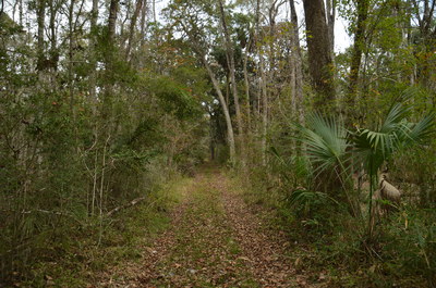
Using the RR 207 high-water bypass is a notable shortcut, as long as you can follow the short connecting path from RR 207 to the FT. Turn left onto RR 207 and follow it northward, passing the occasional blue blaze. At 13.85 miles, 0.95 miles from the Florida Trail intersection, there is a post with flagging tape to the left of the road, just before the road curves left. This is a very important spot, because you do not want to keep following the road; instead, find and pick up a faint path that heads northeastward. This is the connecting trail to the Florida Trail. The path is getting overgrown, and it was not very easy to follow without a GPS, but I did spot some very faded blue blazes several times. However, the path is only 0.3 miles long. At 14.15 miles, the phantom path ends at the Florida Trail. I had passed this spot earlier in the day but had never even noticed any path here! To return to the Thompson House Trailhead, turn left onto the orange-blazed Florida Trail and retrace your steps from the beginning of the day. You should return to the Thompson House Trailhead and conclude the hike at 15.2 miles. Mileage
0.0 - Thompson House Trailhead
0.15 - Wakulla River Campsite 1.65 - Cypress Swamp Boardwalk 4.25 - Wakulla Beach Trailhead 6.55 - Begin Cathedral of Palms 6.95 - End Cathedral of Palms 7.2 - Shepherd Spring 8.0 - Wakulla Field Campsite 15.2 - Thompson House Trailhead Variations
Hike out and back to Shepherd Spring just via Florida Trail - 14.4 Miles
Hike a shorter loop via the FT and first high-water bypass - 5.4 Miles Bonus Stops
Consider also hiking some of the nature trails in St. Marks NWR, accessed off Lighthouse Road.
PicturesVideos
0 Comments
Leave a Reply. |
About MeMark Oleg Ozboyd Dear readers: I have invested a tremendous amount of time and effort in this website and the Georgia Waterfalls Database the past five years. All of the work that has gone in keeping these websites updated with my latest trip reports has almost been like a full-time job. This has not allowed me to pick up a paid job to save up money for college, and therefore, I I've had to take out loans. If you find the information on this website interesting, helpful, or time-saving, you can say "thanks" and help me out by clicking the button above and making a contribution. I will be very grateful for any amount of support you give, as all of it will apply toward my college tuition. Thank you!
Coming in 2022-2023?
Other Hiking WebsitesMiles HikedYear 1: 540.0 Miles
Year 2: 552.3 Miles Year 3: 518.4 Miles Year 4: 482.4 Miles Year 5: 259.9 Miles Archives
March 2021
Categories
All
|





 RSS Feed