
While the views atop Big Cedar Mountain along the Appalachian Trail are well-known, its lower brother Little Cedar Mountain on the other side of the quaint community of Suches is far more obscure. Despite this, a good trail leads to Little Cedar Mountain, where a set of cliffs provides a great view into the Canada Creek valley. The picturesque view is only the beginning though - a connecting trail leads deep into the Canada Creek valley, where a set of four breathtaking waterfalls await. Ranging from only 15 to over 50 feet high, all four waterfalls are fairly easy to reach thanks to an intricate network of unofficial trails along forest roads and fainter paths up and down the Canada Creek watershed. This hike occurred on Saturday, October 7th, 2017. My plan was to hike from Highway 60 to the vista atop Little Cedar Mountain. From there, I would scout out one route down into the Canada Creek valley and another on my way back (as I learned, only one route had a trail). Once in the valley, I would follow trails to Canada Creek Falls, Ontario Falls, and Alberta Falls, and if time permitted, Yukon Falls too.
Summary
R/T Length of Trail: 8.9 Miles
Duration of Hike: 8:30 with about 3 hours of stopping and photography Type of Hike: Out and Back with Loop Option Difficulty Rating: 7 out of 10 Total Elevation Gain: 2085 Feet Pros: Generally well-defined trails despite being unofficial Cons: Above average amounts of trash in places Points of Interest: Canada Creek Falls (Gooch Mill Falls/First Falls) - 10 stars; Ontario Falls - 6 stars; Alberta Falls - 8 stars; Yukon Falls - 7 stars; Little Cedar Mountain Vista - 4 stars; Old Silos near Canada Creek Trail Blaze Colors: None, not official trails Best Seasons to Hike: Spring Fees: None Beginning Point: Highway 60 Pullout (the end of Canada Creek Road East is an alternative starting point) Directions from Suches, GA: From the intersection of Highway 60 and Highway 180 in Suches, follow Highway 60 North for 1.6 miles. At a sharp curve to the right, there is a small pullout on the left at a closed-to-vehicles forest road that leaves left toward Little Cedar Mountain. This is the trailhead. Map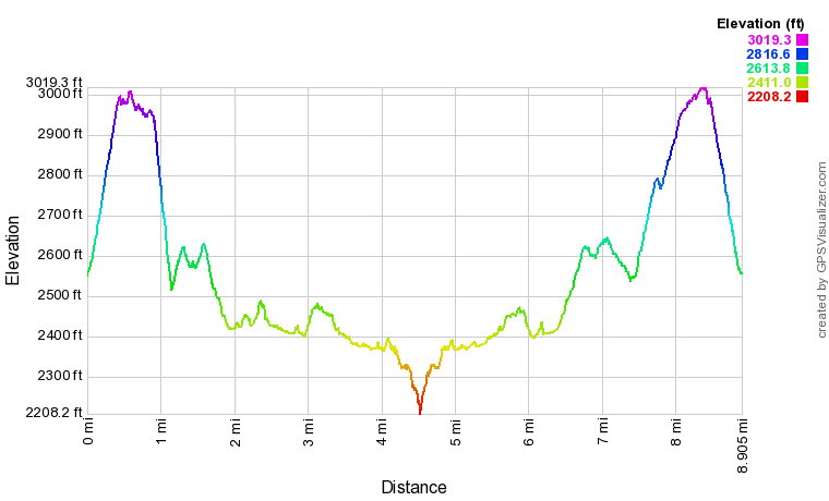
Click the link below to download a .GPX file with a track of this hike.
Details
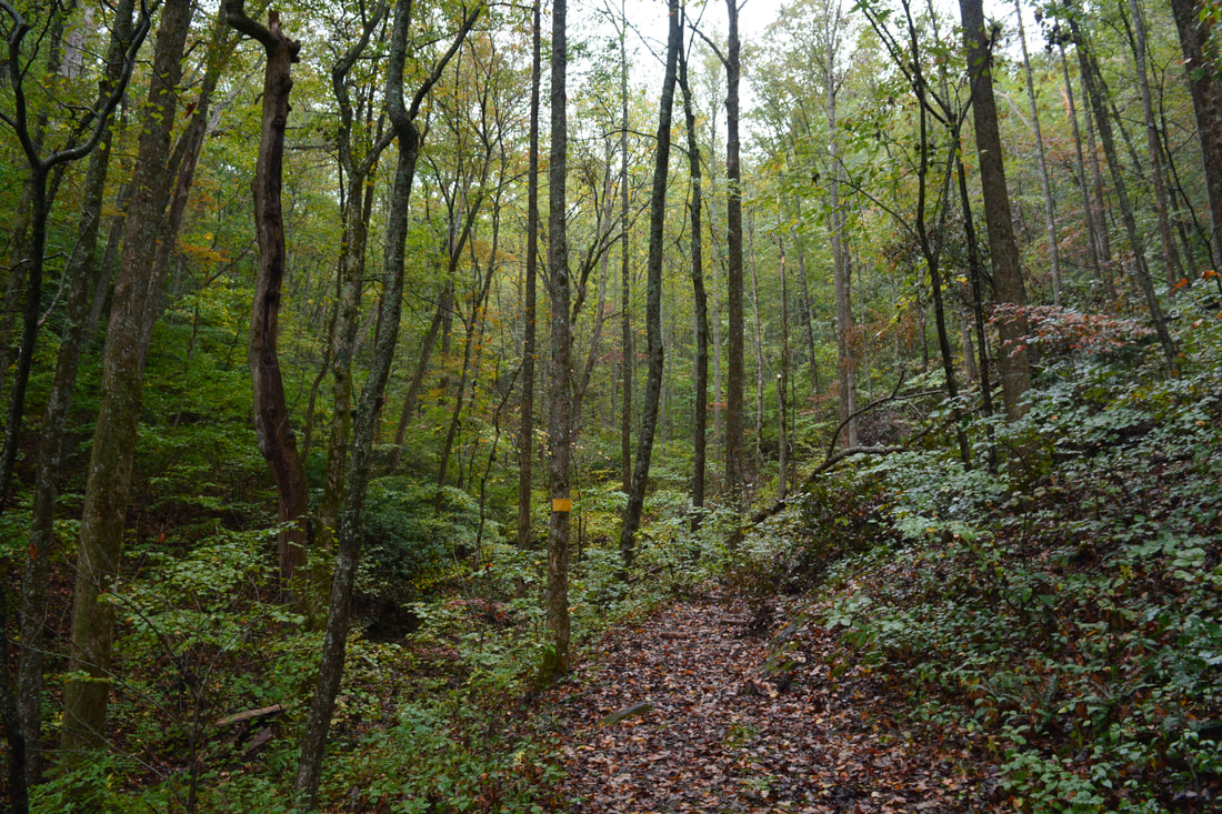
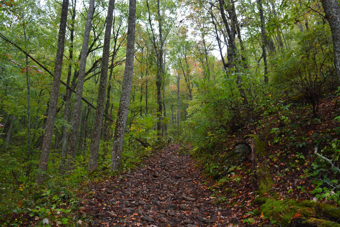
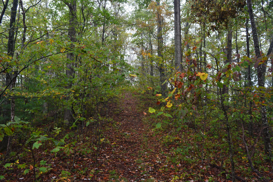
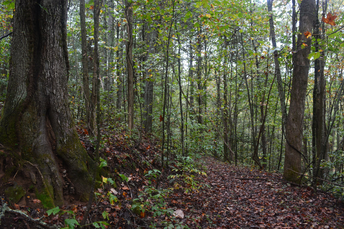
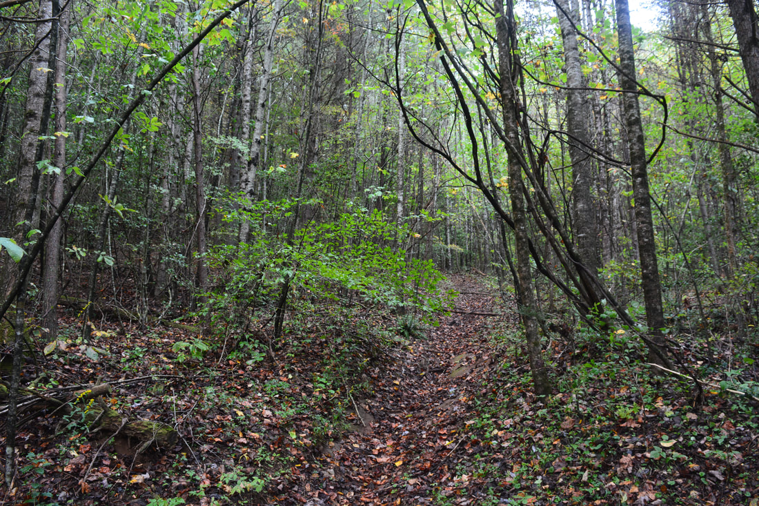
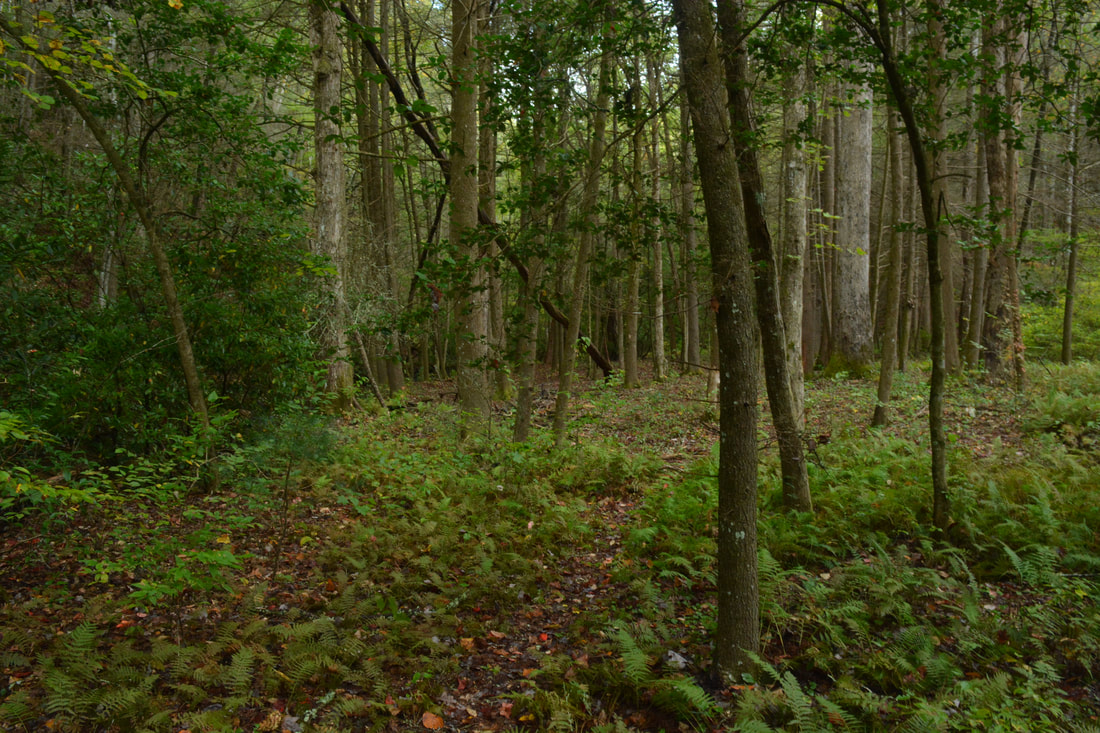
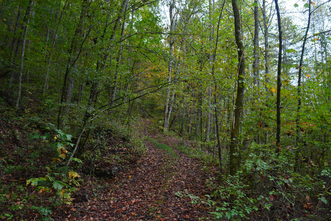
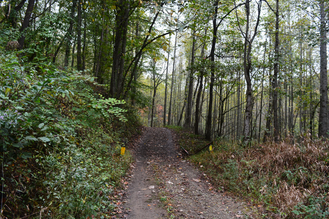
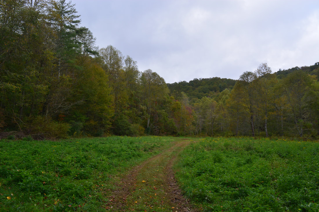
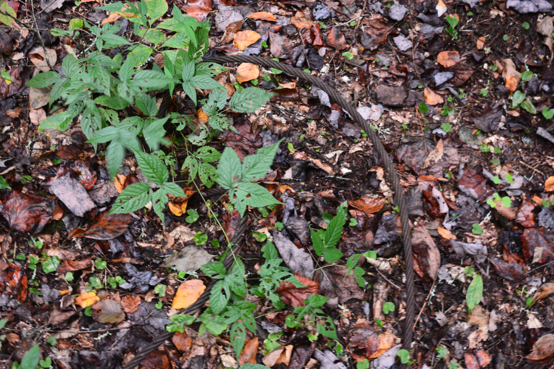
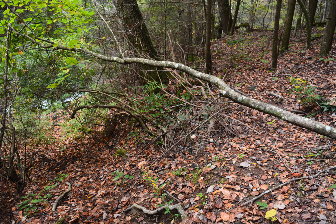
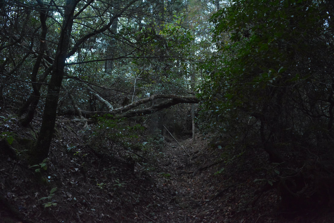
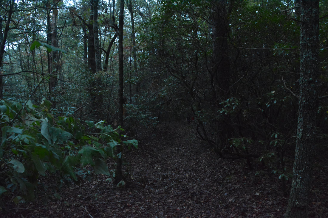
I had hiked in the Canada Creek area twice before this day, but I still wasn't fully finished with the area. For one, I really wanted to hike to the little-known view atop Little Cedar Mountain. Also, I wanted to fully map out the unofficial trail system in the Canada Creek valley and get better pictures of some of the waterfalls, so off I went on my fourth trip into the area. Unlike my previous two trips where I entered the area from the south, this time I decided to test out a new trailhead off Highway 60 north of Canada Creek and Little Cedar Mountain. From the small pullout along the highway, begin following the broad trail/forest road southward (uphill toward Little Cedar Mountain). Even though the trail is not gated for some reason, it is closed to any kind of motorized traffic as evidenced by the numerous signs nailed to trees. At the time of my hike, a large blowdown near the beginning put an end to anything but foot traffic either way. The obvious trail makes a rather steep ascent up the north slope of Little Cedar Mountain, gaining over 400 feet of elevation gain in only 0.4 miles. Around 0.3 miles, there is a split, with a steeper trail heading right and the main trail continuing straight. The trail on the right is simply a shortcut of a switchback and they both lead to the same place. At 0.4 miles, the trail reaches the ridgecrest east of Y J Gap and the west summit of Little Cedar Mountain. There is a T-junction with another trail here. To the right, the trail leads to Y J Gap and soon dead-ends south of the west summit of Little Cedar Mountain. It provides access to an off-trail but shorter route to the lower waterfalls on Canada Creek. Meanwhile, to the left, the trail leads to a bluff with great views of the Canada Creek valley and then continues to connecting trails descending into the valley. For most people, I suggest to take the trail to the left (east) and make an out and back hike without any bushwhacking. However, since I did a loop that involved the off-trail route to the west, I am going to describe both routes, with the shorter bushwhack listed first on the way in and the longer trail listed on the way out.
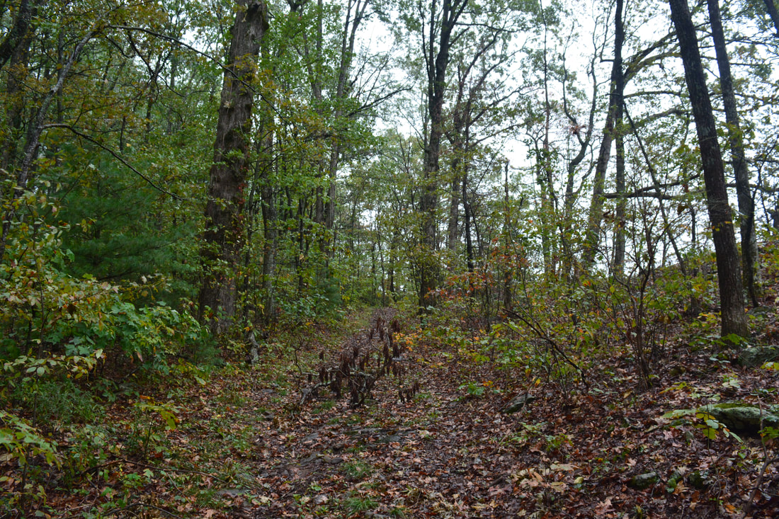
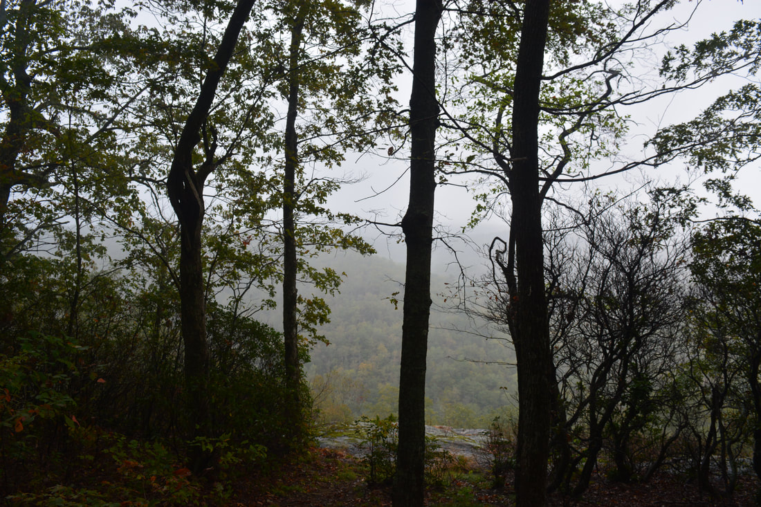
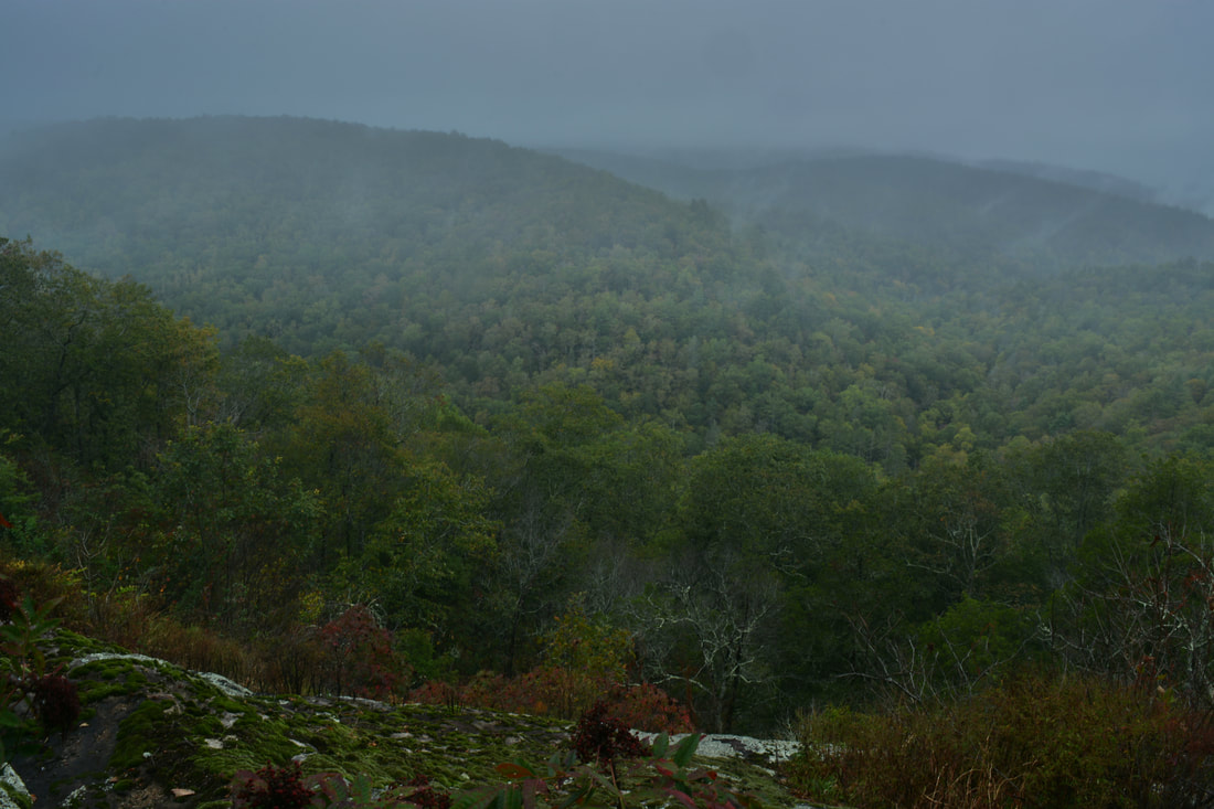
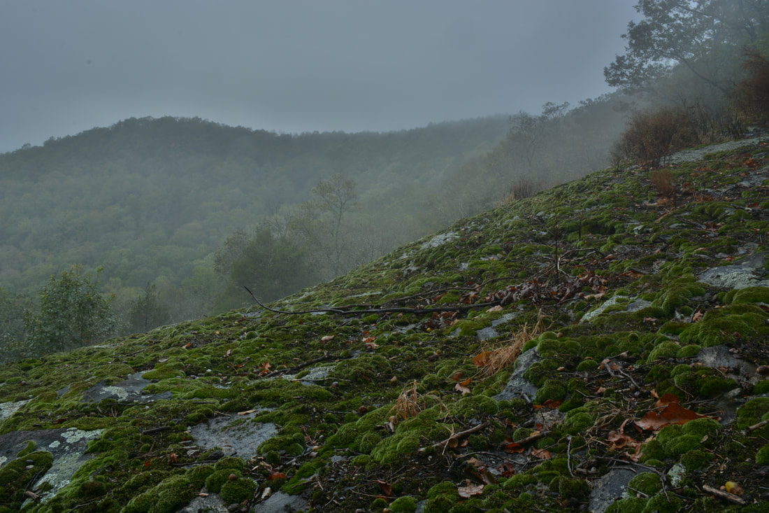
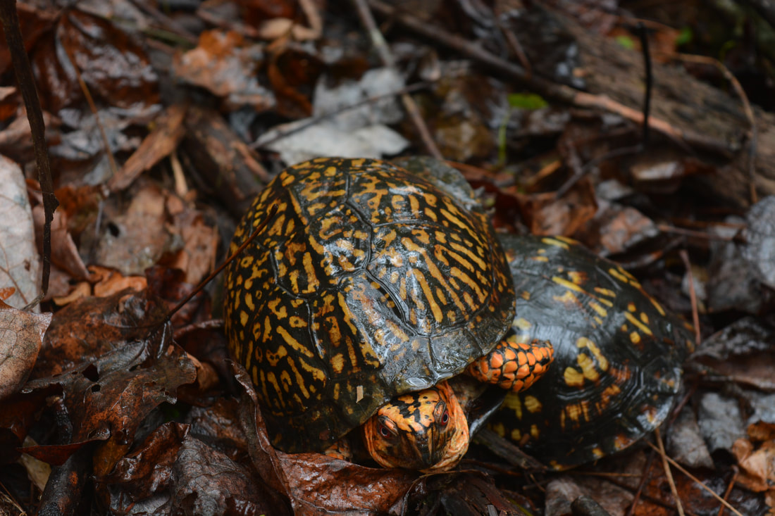
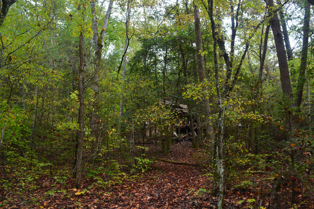
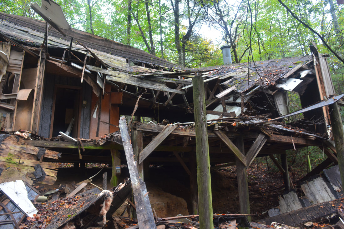
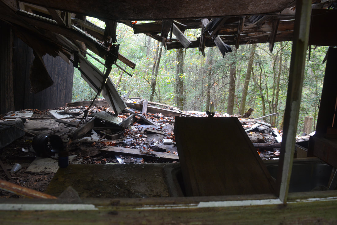
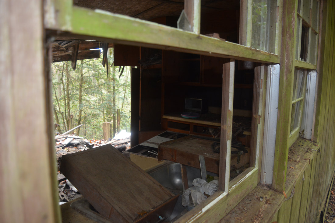
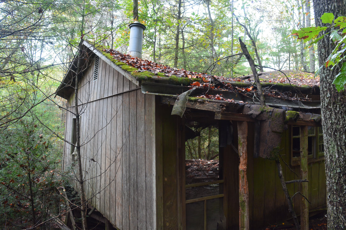
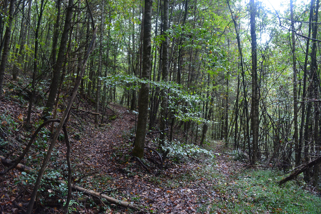
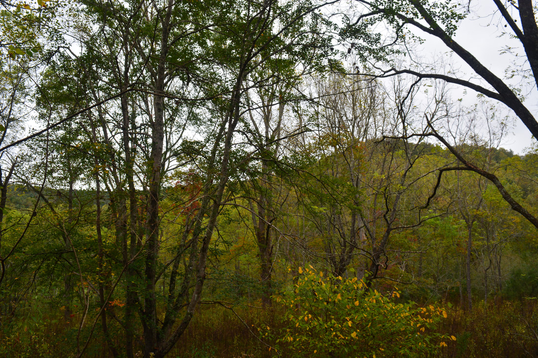
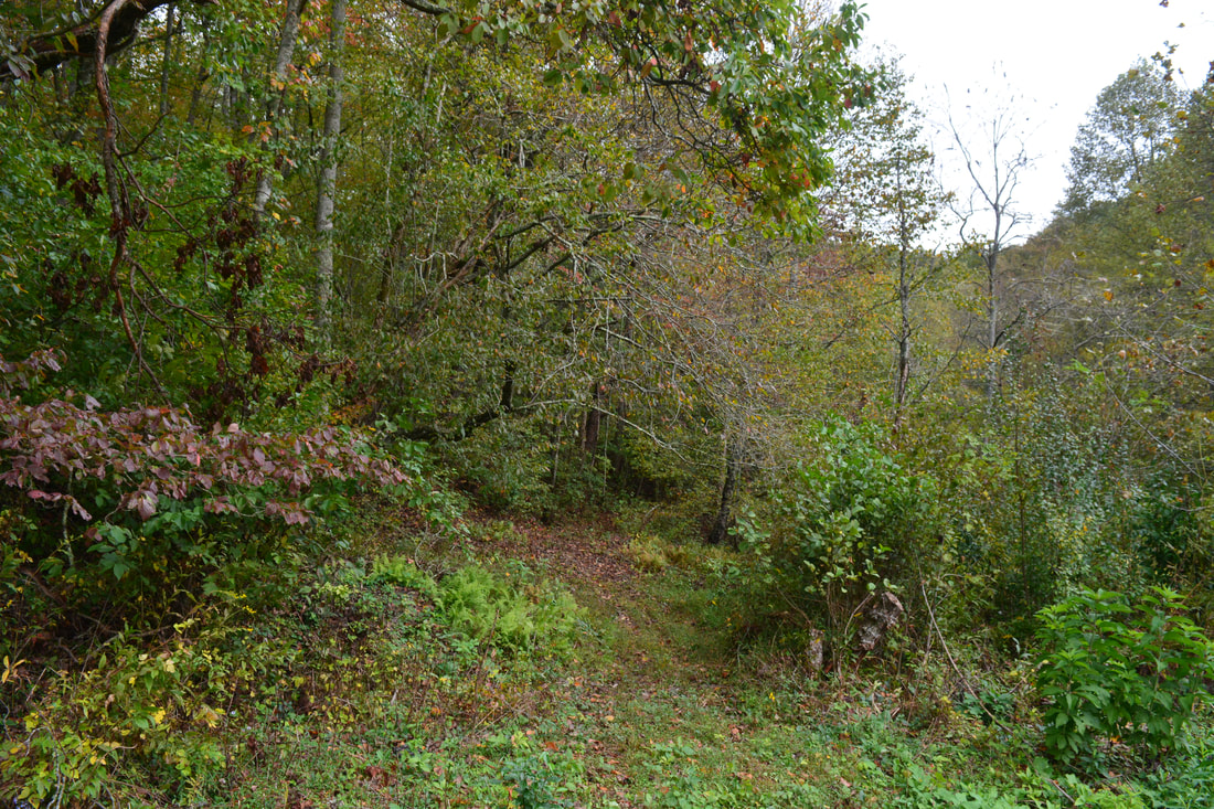
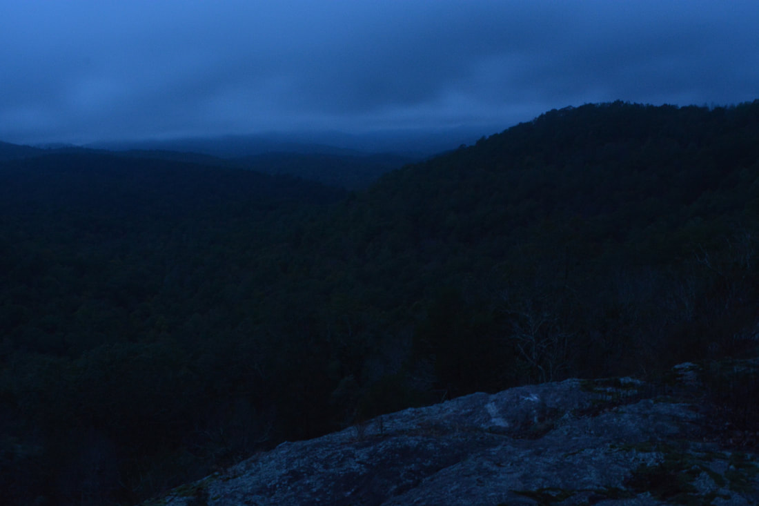
Before turning right at the ridge though, turn left and continue for 250 feet to a short side path on the right that leads to the edge of the bluff at 0.45 miles. There are great views south and west into the Canada Creek valley from this bluff, although I wasn't able to see the full extent of the view on this day due to low clouds and drizzle. If you visit the Little Cedar Mountain Vista, please stay at the very top of the cliffs and avoid walking down the potentially dangerous rock slabs. It is easy to destroy the fragile moss on the rocks by trampling, and you're only going to put yourself at risk. From the vista, backtrack to the junction and continue on the ridge trail, crossing a small knob and descending into Y J Gap at 0.7 miles. The distinct trail ends in the gap at a small turnaround, but a more overgrown forest road bears left and contours along the south slope of the west peak of Little Cedar Mountain - this is the route you must take. The forest road leads into an interesting poplar forest, with few other trees visible. At 0.85 miles, reach another small gap on the southwest side of Little Cedar Mountain. The trail effectively ends here. A faint path leads left, but that is not the way to go - even though there is a small rock slab in that direction, it does not afford any views. To continue the hike, initially turn right at the gap and contour along the slope through open woods for about 0.1 miles past a few small rock outcrops. The last rock outcrop at about 0.95 miles is a good place to turn left and begin the steep bushwhack down into the Canada Creek valley. There is no optimal route down - the slope is equally steep and open across all areas in general. The off-trail descent off Little Cedar Mountain is only around 0.2 miles, but you will lose 400 feet of elevation in the meantime! At 1.15 miles, you will intersect an old logging road, possibly next to an impressive holly tree depending on where exactly you come out. To continue the hike, turn left onto the old road. It is slightly overgrown in places but is still the best route into the Canada Creek valley. I was lucky to see a pair of mating box turtles while gradually ascending along this road! Reach an intersection with a much better-defined trail at 1.3 miles. From here on through the rest of the day, your hike will be mostly on easy-to-follow paths. To the left, the trail leads to Canada Creek, but first, a right turn leads to some interesting house ruins. In 100 feet, turn left again onto a distinct forest road. Another forest road comes in from the right in a gap at 1.4 miles - that road leads to private property. Bear left, arriving at the abandoned house on the left at 1.45 miles. A path leads to the ruins - do not continue straight as the main trail shortly enters private property. The ruins are quite interesting. It appears that the house is located on the very edge of Forest Service land but still in it. However, even though much of the house has fallen apart, it appears that it was abandoned not too long ago, so the Forest Service must have bought this land relatively recently. From the ruins, retrace your steps to the junction with the faint forest road and continue south on the main trail, crossing the low ridge and heading moderately downhill toward Canada Creek. At 1.75 miles, reach a T-junction with another trail. To the right, it leads to private property once again. Turn left, and in a few feet, reach a split. This is the end of the loop portion of the hike. The trail that bears left leads to Yukon Falls and back up Little Cedar Mountain, while the trail that bears right is a long side trip to the other three waterfalls on Canada Creek. Stay right toward the waterfalls. 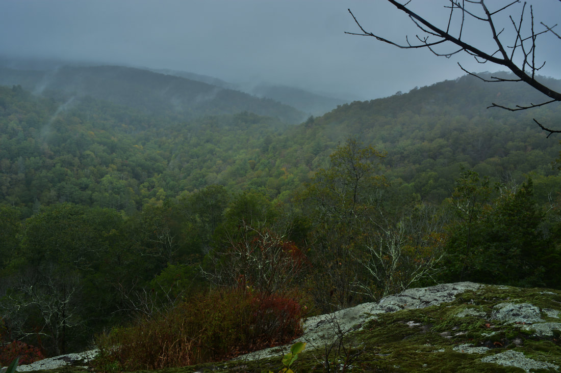
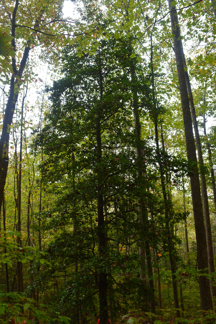
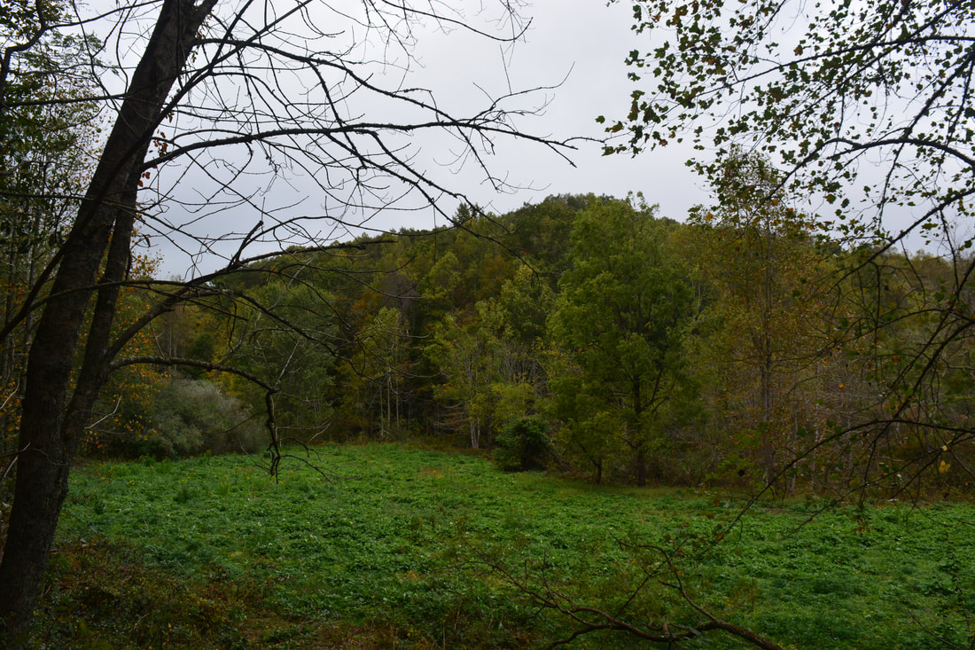
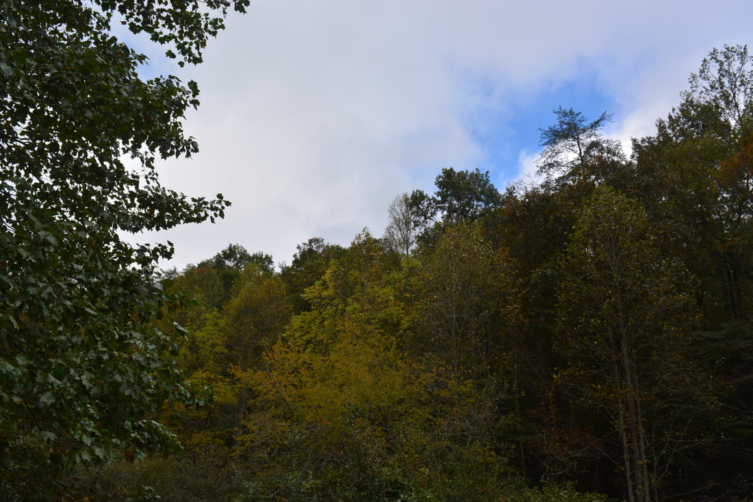
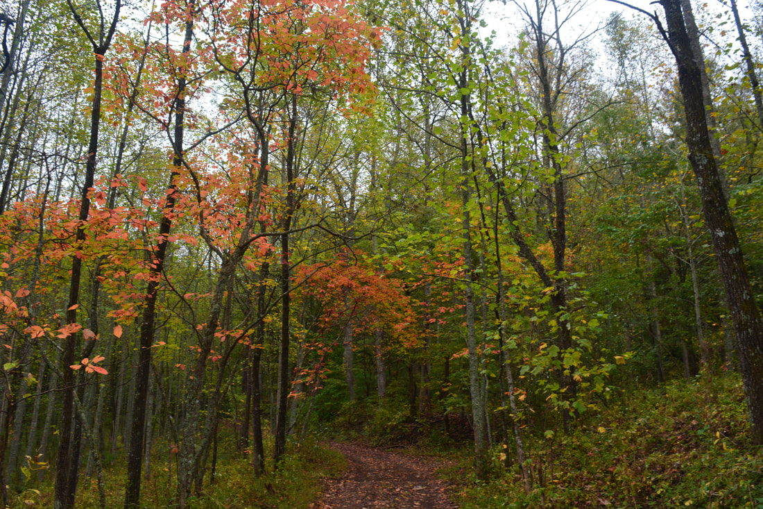
The view of the Canada Creek valley from Little Cedar Mountain would be especially scenic during fall color season.
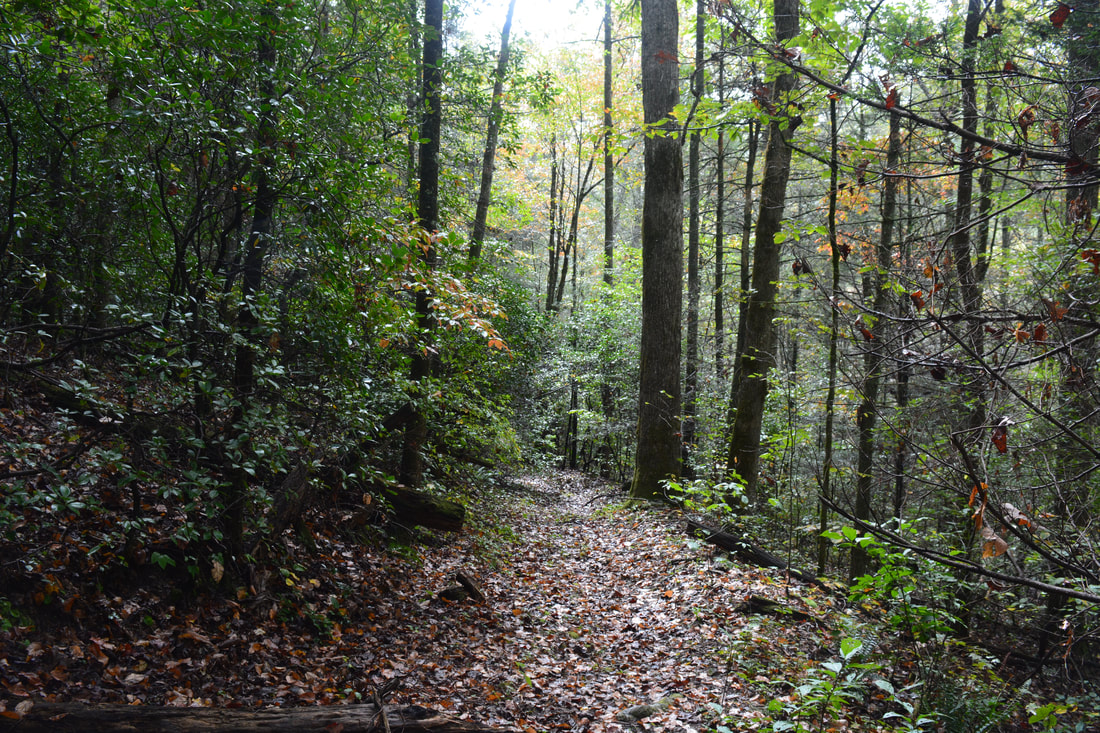
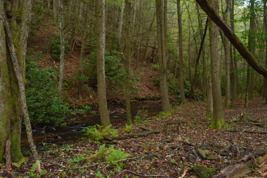
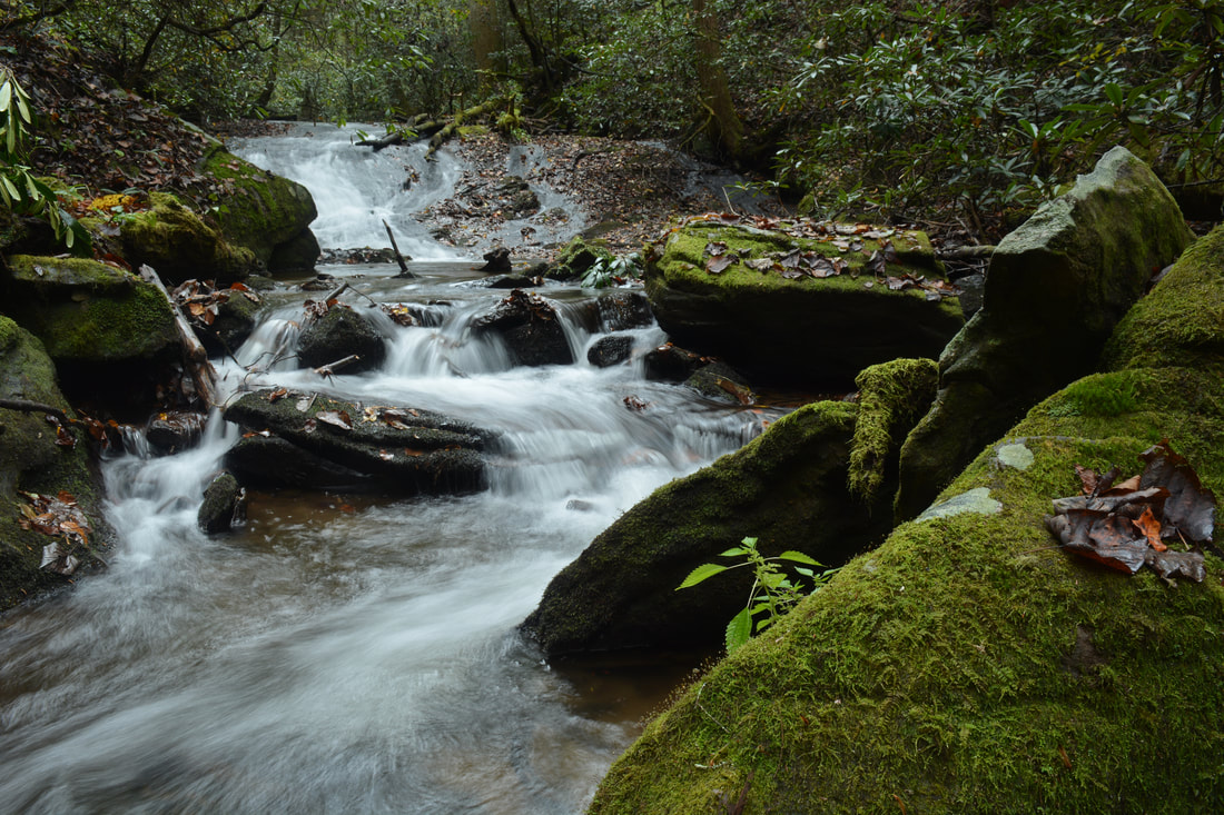
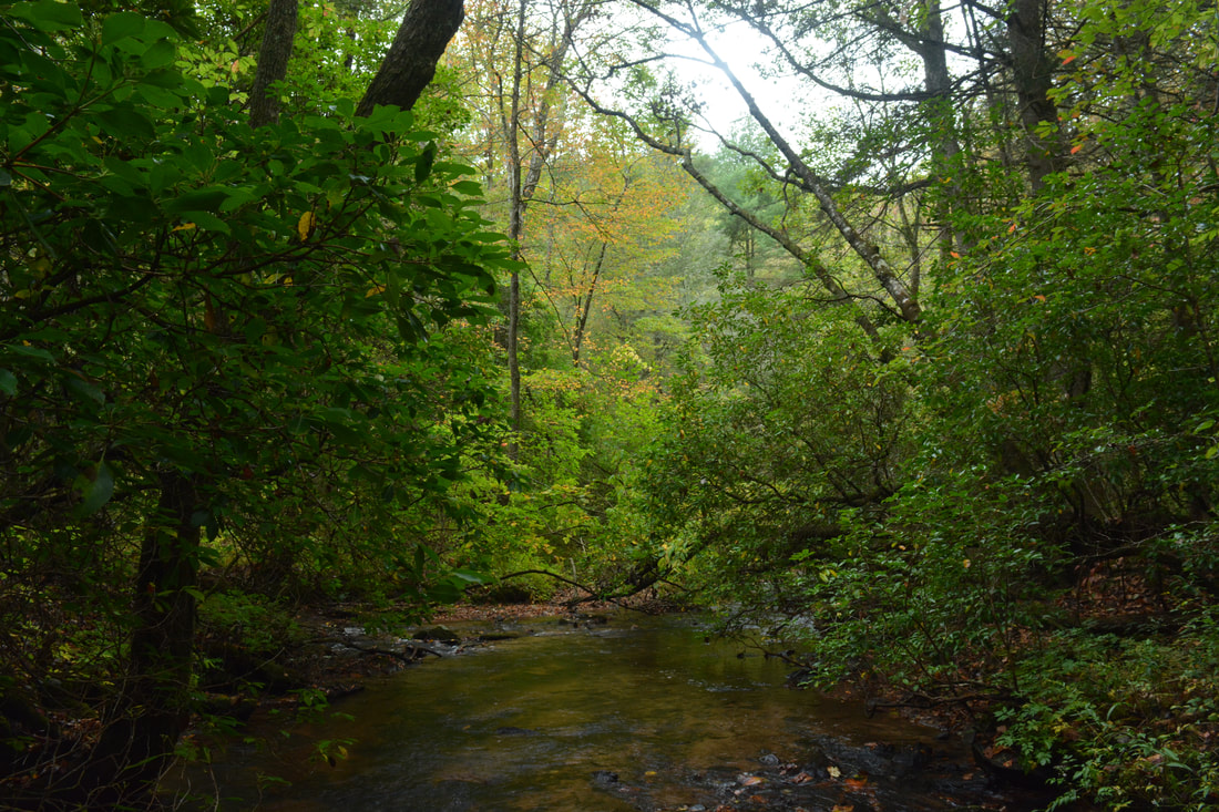
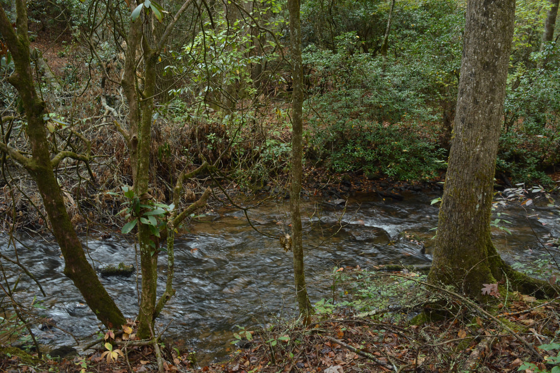
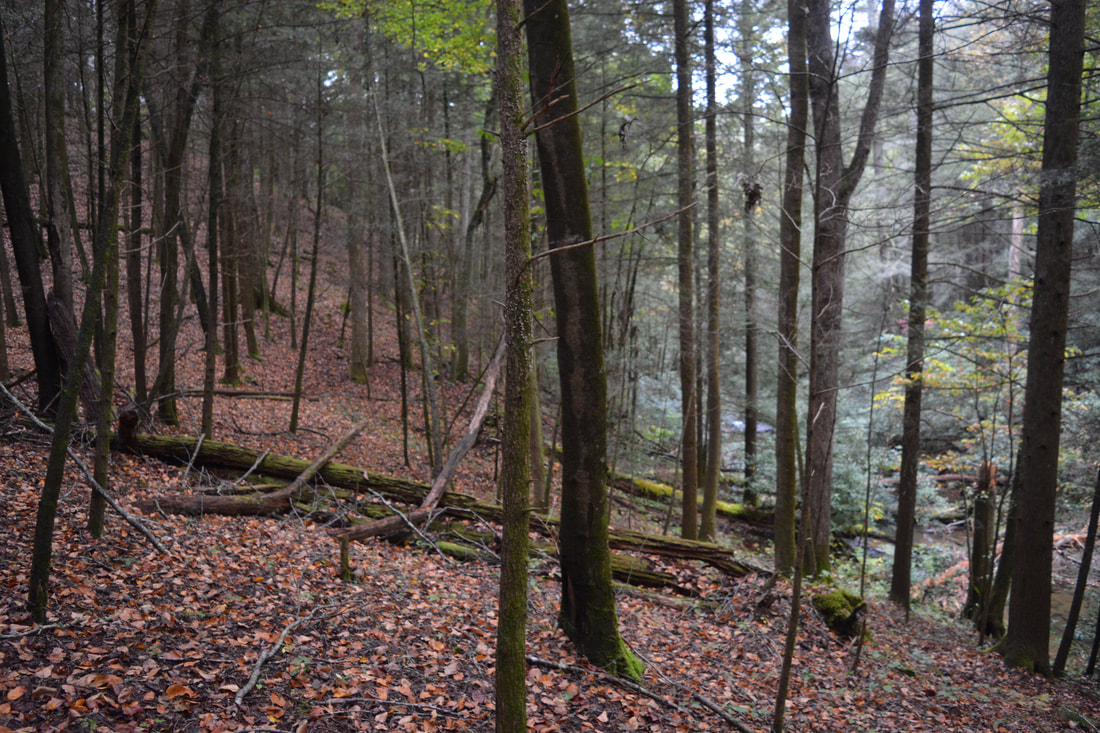
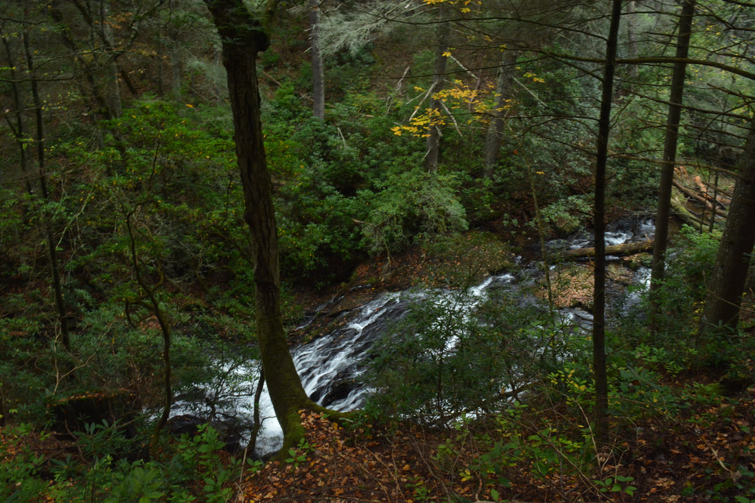
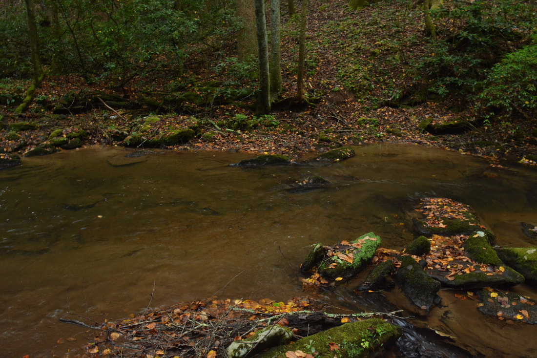
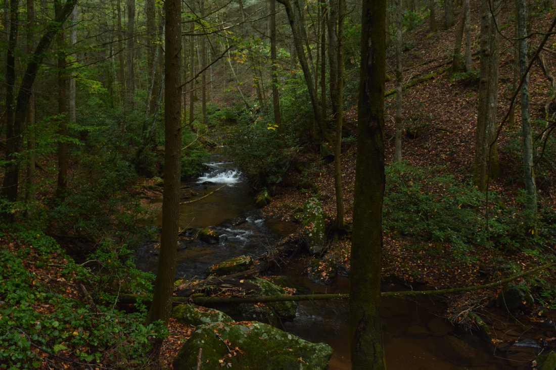
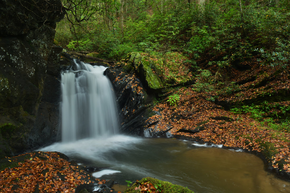
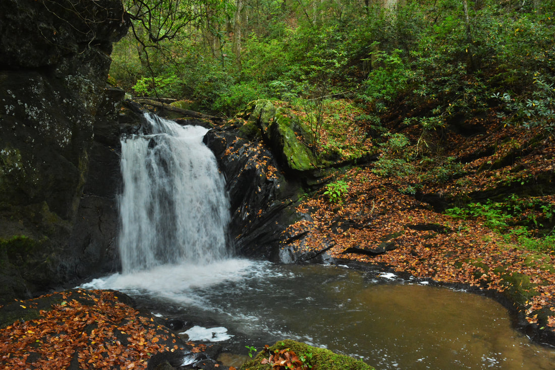
The trail you're now following comes alongside Canada Creek at 2.0 miles - remember this point, as on your way back from Alberta Falls, you will have to jump off the trail here. About a hundred feet farther, you will make the second ford of Canada Creek. There are two spots for fording the creek here. The second one is better because it is just above the confluence with Wildhog Creek. Do not follow the old logging road that follows the west side of Wildhog Creek. This logging road leads to private property. After the ford, hike east and upstream along the creek through open bottomlands on a faint path. At about 2.1 miles, a path comes in from the right and continues straight. To the right, the path leads to some picturesque shoals on Wildhog Creek that I will describe how to access after Alberta Falls. Passing a campsite with a tiny "homemade" table in a flat to the left near the creek, follow the path straight and upstream along Canada Creek. The gorge narrows and the obvious path, which stays very close to the creek, passes several rushing cascades. At 2.2 miles, the path reaches and ends at Alberta Falls on Canada Creek.
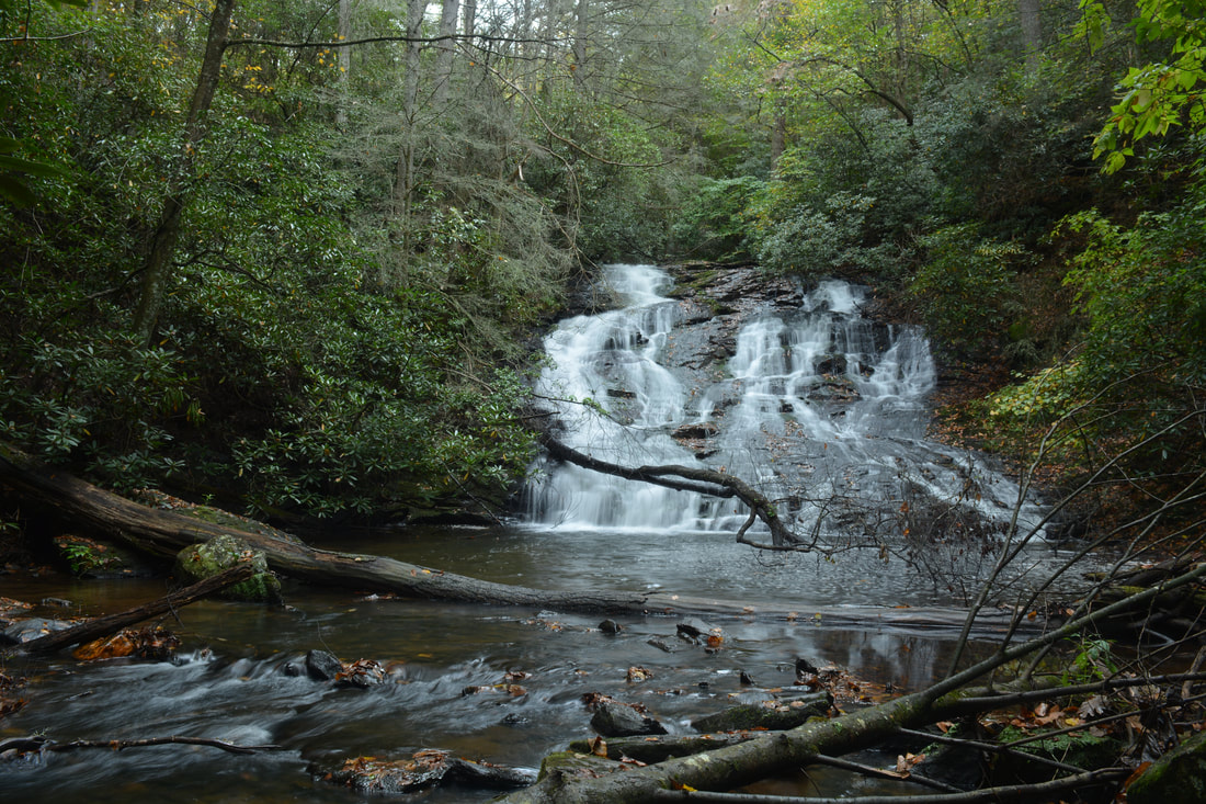
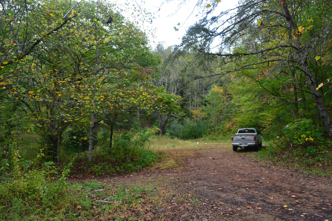
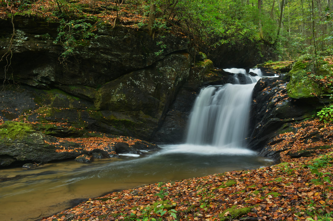
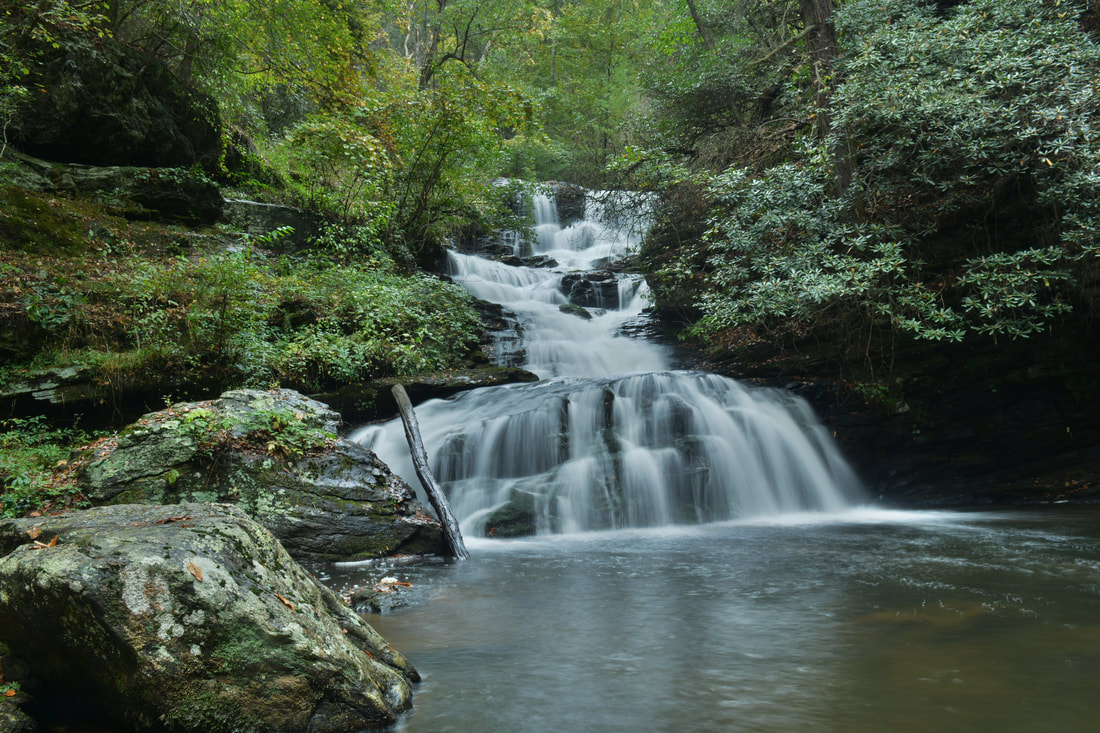
Alberta Falls, previously known as Falls #3 on Canada Creek, is a very photogenic waterfall about 40 feet high. This single-tier block waterfall cascades down a wide stairstep rock face into a deep pool. The creek then flows over some shoals that add character to the gorgeous scene, before it disappears out of sight. The path ends just before the waterfall. To get the best view, scramble down to a low area where deep water collects when the creek is high (on this day, the water was knee-deep). Walk through the low area and to the creek itself. The best view is from here. It is possible to wade closer up to the falls as well. From Alberta Falls, return along the trail you just followed back to the area with the campsite. For now, stay left on the path along the east side of Wildhog Creek for a short side trip to some scenic cascades on Wildhog Creek. The trail gradually rises alongside Wildhog Creek before coming to the Wildhog Cascades at 2.4 miles. The view from the trail is best in winter, but there are several spots to make the steep scramble down to the creek, where there is a view of the cascades. The cascades begin with a small slide followed by two small drops through a stretch of creek lined by a low rock wall on one side. Retrace your steps back to Canada Creek from Wildhog Cascades, and follow the earlier trail through the campsite and across the creek again. Once you're back on the north side of Canada Creek, do not follow the main trail that you came in on yet, as first, a lengthy trip to Ontario Falls and Canada Creek Falls in order. Instead, shortly after the crossing, right around where the main trail that you came in on earlier bears right and leaves Canada Creek, bear left and hike off-trail downstream along Canada Creek. There is little to no path visible initially, but eventually, there will be a trace of a fishing path right along the creek (don't worry if you don't see it). At 2.75 miles, the easy walking along the side of the creek seems to end. This is the place where you have to ford Canada Creek for the third and final time. The fording point is very inconspicuous, because both banks of the creek are steep. At the time of this hike, there was a fallen tree on the other side of the creek - extending out into the creek a little bit - just before the fording point. The current is a bit swifter at this ford than the previous one, but it is still a fairly easy knee-deep ford. On the other side of the creek, turn right and pick up a more distinct path downstream along Canada Creek. The trail passes through a rhododendron thicket with a deep pool in the creek to the right and then makes a brief ascent up a hill before dropping back down to creek-level. At 3.0 miles, the trail ends at a turnaround situated at the end of a forest road. Continue onto the forest road and begin following it as it slowly rises above the creek and curves in and out of several hollows with old fields visible in the valley below. The forest road ends at 3.35 miles at East Canada Creek Road at a point where there is a very broad area used for turning around and parking. This is the parking area where one would park their car to hike to Alberta Falls using the shortest route. 
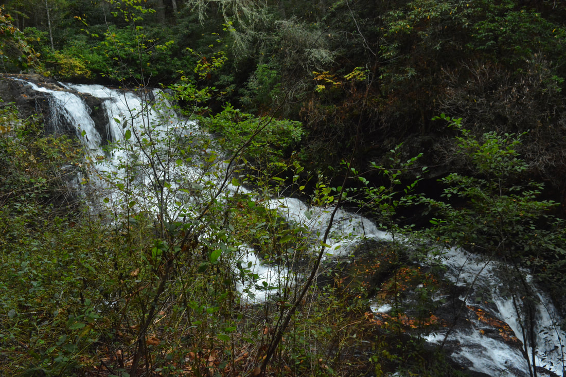
Ontario Falls is a small but scenic 15-foot free-fall waterfall hemmed in by cliffs on Canada Creek.
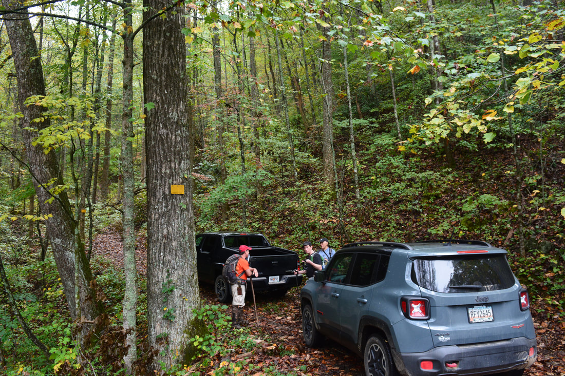
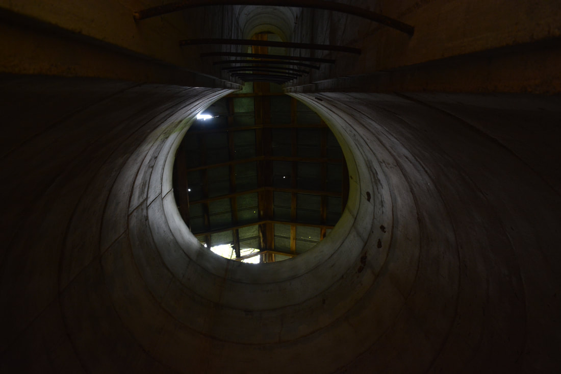
At this parking, Canada Creek Road East leaves to the left toward Cooper Gap Road. To access Ontario Falls and Canada Creek Falls, bear right on the road downhill, reaching a culvert across Sally Spillers Branch and another parking area in 250 feet at 3.4 miles. This is the end of Canada Creek Road East. Stay to the right to continue the hike on the old continuation of the road, which is usually gated. Walk around the gate and shortly pass two old silos, remains from a former farm along Canada Creek. Shortly afterwards, there will be a field to the right and then the concrete remains of a foundation to the left. At 3.65 miles, the road turns right and fords Canada Creek. Do not go there; instead, continue straight into a small grassy clearing with a campfire ring. You should see a wide path leaving the far end of the clearing. Take this path, which soon narrows and begins following a surprisingly tranquil Canada Creek. The path becomes somewhat faint and a bit overgrown, but you shouldn't have much trouble following it.
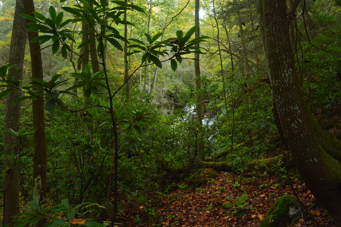
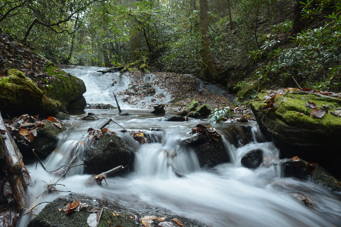
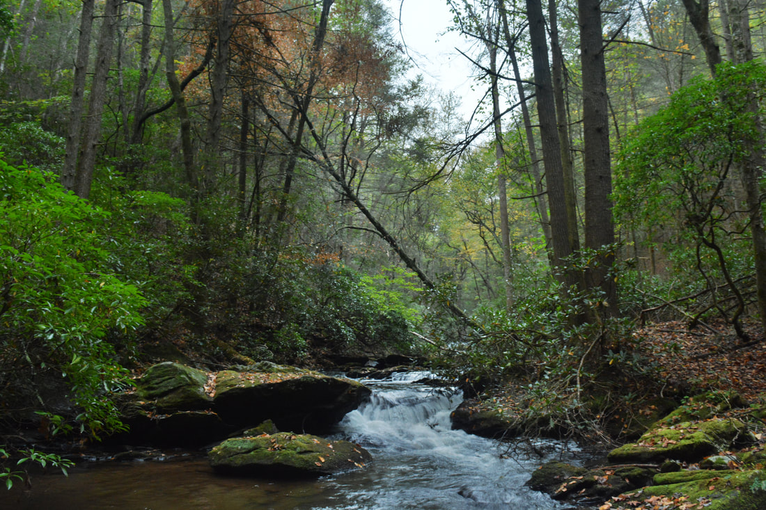
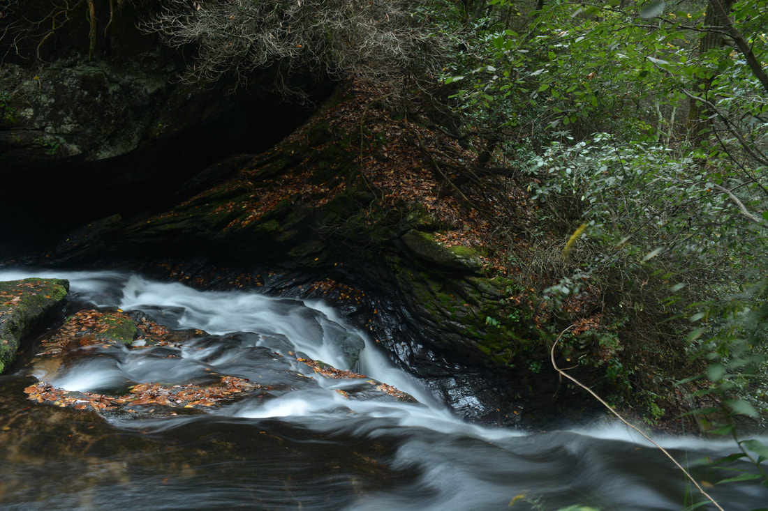
At 3.85 miles, the path makes a gradual curve to the left as the creek bends. Then, at 4.0 miles, the path rises slightly and reaches an old logging road. This point is marked by the waypoint "Logging Road Jct, Stay Right" on the map above. Turn right onto this logging road, which descends back to the creek. You might spot some flagging tape several times along this stretch. At 4.05 miles, there is an intersection. The more obvious wide logging road bears left and uphill. A faint path continues straight, closer to the creek. Take this path. The path crosses a rivulet and becomes nearly non-existent on the other side. However, despite the lack of a distinct path in this section, the woods are open so it is very easy to follow the east side of the creek here. The path of least resistance is along the slope just east of the creek, about 20 feet above creek level. Occasionally, it seemed like there was a semblance of a beaten track. At 4.25 miles, there is a series of slides and cascades to the right as the creek begins to resemble a mountain stream and as the gorge gets steeper. Shortly after this, pick out a faint path that angles down the slope and down to creek level. Once you're at creek level, ford Canada Creek at 4.3 miles, where the creek makes a bend to the right and where the slope ahead looks steeper. A wet-weather stream comes in from the left here. The ford is knee to mid thigh-deep, but the current normally isn't fast, and there are few slippery rocks. A scenic cascade lies just above the fording point. Now on the other (north) side of Canada Creek, or on "River Right" as kayakers say, you should be able to make out a path that stays just above the creek. Follow this path downstream along the creek. You should remain at about the same level above the creek until Ontario Falls. Around 4.4 miles, you should be able to see the top of Ontario Falls, as well as hear the falls well. The trail becomes steeper as it hugs the slope on the right side of Ontario Falls. About 250 feet farther, at 4.45 miles, a steep goat path breaks off to the left and descends to the base of Ontario Falls, previously known as Falls #2 on Canada Creek. Ontario Falls is only about 15 feet high, but despite the lack of height, the waterfall is stunning! This photogenic waterfall spills over a ledge, with an impressive cliff leading away from the falls on River Right. Moss-covered boulders add to the scene on River Left, especially today when they were coated by colorful leaves. Furthermore, Canada Creek is a fairly large stream, and the creek is squeezed into a narrow passage between the cliff and boulders at the Ontario Falls, so the waterfall is powerful. There are several shoals just downstream from the falls that can be good to photograph with Ontario Falls in the background. 
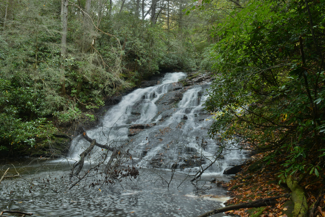
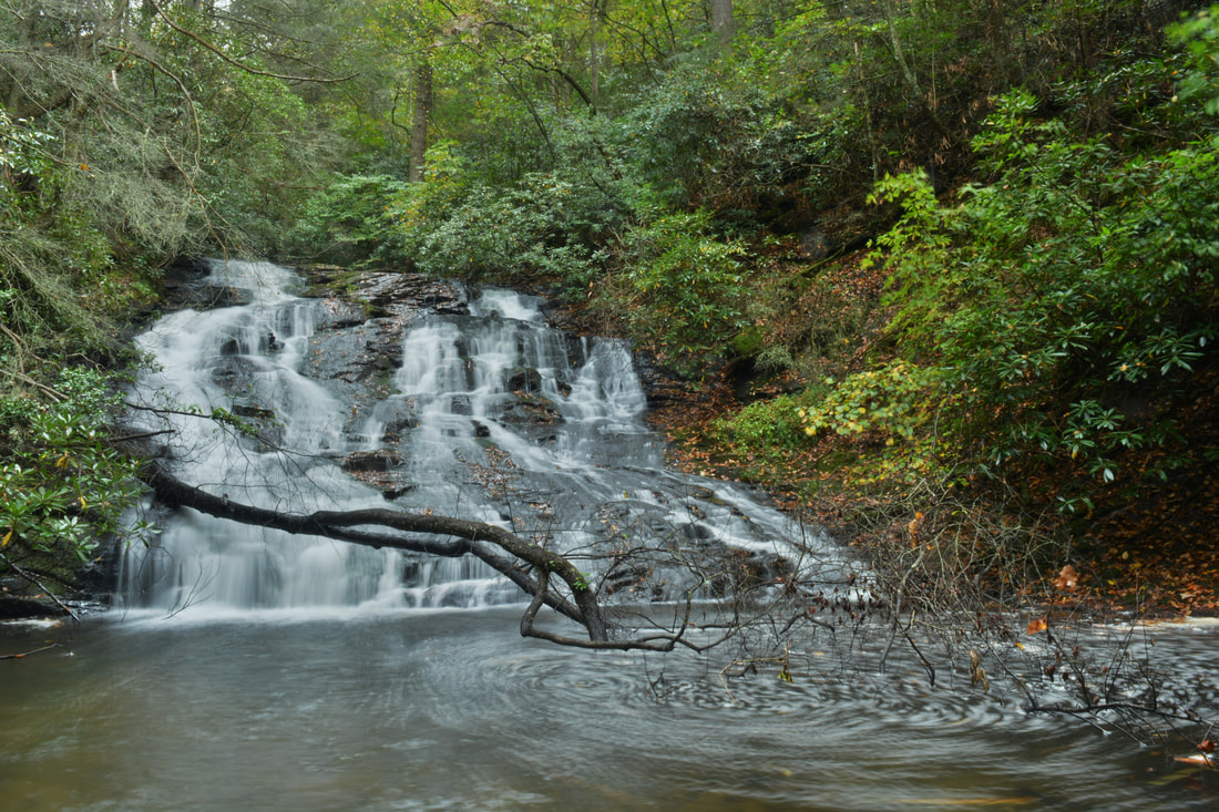
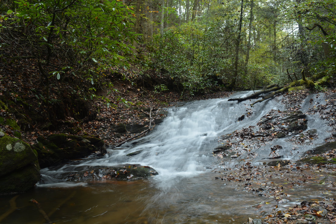
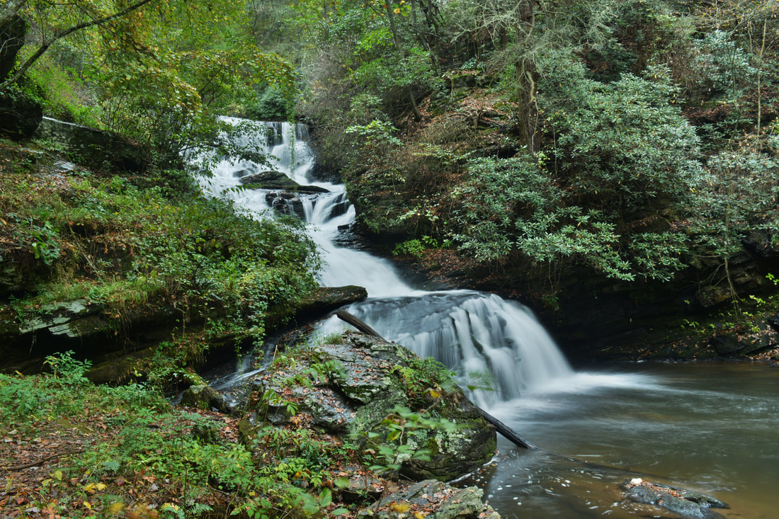
The upper part of Canada Creek Falls is a very picturesque sheer drop. The numerous spouting channels of water are breathtaking.
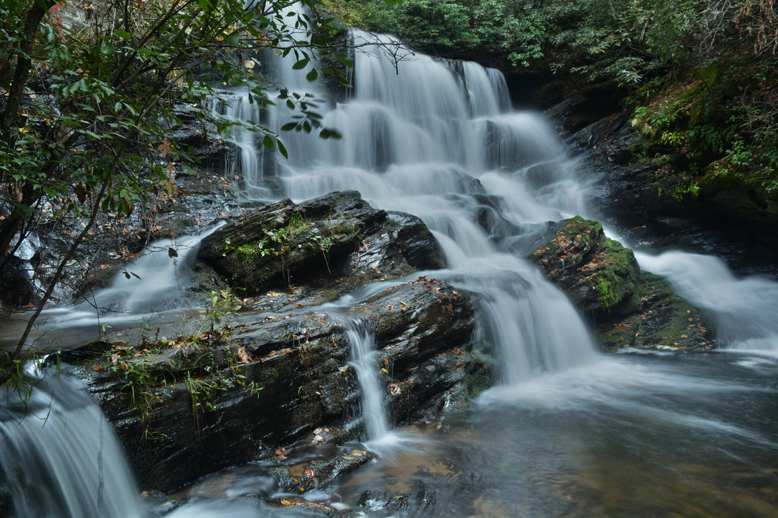
From Ontario Falls, the path appears to receive more use as it gets closer to Canada Creek Falls. At 4.5 miles, the path approaches the top precipice of Canada Creek Falls. Follow the path on the right side of the falls. About halfway down, the path splits. Both paths lead to the base, but the path that descends left is easier (the straight path takes a difficult scramble down a series of small ledges). Take the path on the left, which descends down a rock slab and to the midpoint of Canada Creek Falls. Canada Creek Falls is spectacular! It is about 50 to 60 feet high with two nearly vertical tiers. The upper tier alone is a vertical drop of about 25 feet. At high water, the waterfall is overpowering. I personally think that the view from the middle of the falls is actually even better than from the base, as the upper tier (which is the cover photo for this post) is more photogenic and plus you can see the precipice of the lower tier. There is one note that I would like to make regarding Big Falls. There is private property beginning at the base of the falls and stretching down into the valley beyond; in fact, a private road leads from a house to the base of the falls. Nevertheless, to the best of my knowledge, you can view and photograph the waterfall from public land. The property boundary is right at the base of the falls, and a private property sign attached to a tree at the end of the road marks the boundary. Interestingly, the sign faces Forest Service land, but in reality, the private property really is starting from the turnaround at the end of the road and down.
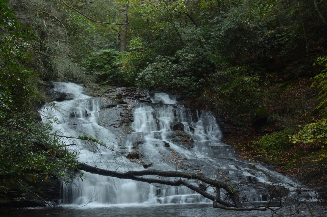
To reach the base of Canada Creek Falls, continue following the path that is closest to the falls on its right side. There is evidence of a lot of trail use here. The path descends down some slabs and a small ledge, but there is nothing tough on the descent for people who are accustomed to such scrambling. At 4.55 miles, reach the base of Canada Creek Falls at the turnaround of the private road from the house on private property. Make sure to stay in front of the marked private property boundary. Unfortunately, the turnaround at the end of the private road is slightly distracting. Nevertheless, the falls is still very picturesque as the creek becomes quite narrow, spilling over two cliffs, and then fanning out and becoming more tranquil at a very deep pool below the falls. The waterfall is also known as Gooch Mill Falls and Big Falls on Canada Creek (aka Falls #1). From Canada Creek Falls, retrace your steps all the way back past the Canada Creek Road parking areas and to the trail near Alberta Falls. Turn left onto the trail and follow it to the split where you left the loop part of the hike much earlier at mile 1.75. Now at the same point at 6.65 miles, turn acutely right onto the broad trail at the split, slowly ascending up the north side of the Canada Creek valley. After passing through a low gap at 6.75 miles, the trail contours along the slopes of Little Cedar Mountain high above Canada Creek. Eventually, as the trail once again approaches Canada Creek, reach a Y-split in the trail at 7.5 miles. Straight ahead, the trail fords Canada Creek and reaches Yukon Falls in 0.3 miles (previously known as Falls #4 on Canada Creek). While I did not have time to include Yukon Falls on this hike, it is a worthwhile side trip that does not require much effort - however, as the side trip is not included in the map above, it is excluded from the mileage. To continue the main hike, stay left at the split onto the equally broad moderately-ascending trail. 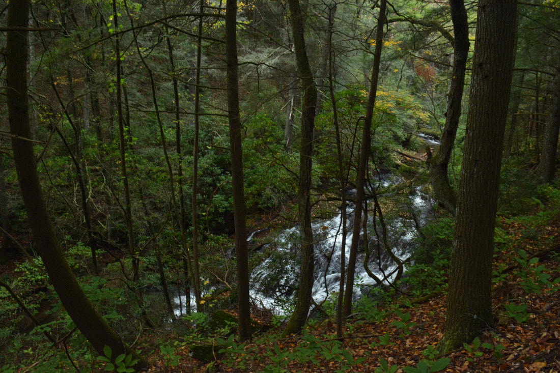
The trail passes above the roar of Yukon Falls at 7.65 miles and then turns abruptly north, continuing a rather steep ascent of Little Cedar Mountain. At 7.9 miles, there is a junction - the trail straight ahead continues to private property in Suches, while you must turn left, staying north in the direction of Little Cedar Mountain. Pass another split at 8.0 miles, where you must stay left while a fainter trail bears right. Finally, at 8.05 miles, reach a T-intersection with the east-west trail that you saw at the Little Cedar Vista. Turn left onto it and follow the gently ascending trail west toward the vista. You will reach the Little Cedar Cliffs once again at 8.45 miles. Take a moment to contemplate the beautiful view of the waterfall-filled Canada Creek Valley one last time before continuing ahead for a short distance and turning right onto the final access trail back to Highway 60. Follow the steep access trail down, returning to the parking area at 8.9 miles and concluding the hike.
MileagePictures
2 Comments
Jerry Moore
10/20/2017 09:47:48 am
I hiked down the side of the creek that the silos were on. I think this is the West side. It was basically a bushwhack for part of the hike. I did find an old road and hiked it downstream to the base of big falls. I noticed several red marked trees, but no private property signs near the falls. I crossed the creek to the other side which had a road and hiked back up to the base of the falls. I did see a sign there, but as you said it's somewhat confusing. The sign faced the falls. On the way back out it seemed that the marked trees were also for private property, so basically both sides of the creek are on private property just below the falls. 3/24/2021 06:15:34 pm
Does anyone know what the name of the falls are that are right off the road with the big deck. I mean it’s no hiking it right on the side of the road. I think it’s in the Chattahoochee Leave a Reply. |
About MeMark Oleg Ozboyd Dear readers: I have invested a tremendous amount of time and effort in this website and the Georgia Waterfalls Database the past five years. All of the work that has gone in keeping these websites updated with my latest trip reports has almost been like a full-time job. This has not allowed me to pick up a paid job to save up money for college, and therefore, I I've had to take out loans. If you find the information on this website interesting, helpful, or time-saving, you can say "thanks" and help me out by clicking the button above and making a contribution. I will be very grateful for any amount of support you give, as all of it will apply toward my college tuition. Thank you!

Coming in 2022-2023?
Other Hiking WebsitesMiles HikedYear 1: 540.0 Miles
Year 2: 552.3 Miles Year 3: 518.4 Miles Year 4: 482.4 Miles Year 5: 259.9 Miles Archives
March 2021
Categories
All
|
||


 RSS Feed