One of Florida's most attractive rivers valleys, the Suwannee River Valley has got it all: majestic bluffs, sandy beaches, tight and intricate tributaries, colorful springs, a surprising variety in elevation, and best of all, a 75-mile segment of the Florida Trail. The FT section between Camp Branch and Swift Creek - two special Suwannee feeder streams - is a true North Florida classic, showcasing most of the sights that make hiking along the Suwannee so wonderful. Even before you reach the Suwannee, you'll submerge into an unusual landscape, where the clear-bottomed Camp Branch (also known as Disappearing Creek) twists through a limestone chasm before vanishing into a dark sink, only to pop out at the Suwannee itself. From there, you'll pick up the Florida Trail, passing one gorgeous vista after another of the Suwannee River, crossing numerous scenic side streams like Jerry Branch, and scrambling through surprisingly deep ravines and up pointed hills. After close to 9 miles of hiking, you'll finally reach the hike's destination: Swift Creek, a lovely, cascading stream that dashes through Florida's version of the Grand Canyon before emptying into the Suwannee by an imposing limestone bluff. This hike occurred on Saturday, August 25th, 2018. My plan was to hike the blue-blazed FT access trail from the Camp Branch Trailhead to the Suwannee River (tracing the short Camp Branch Loop along the way), where I'd pick up the Florida Trail and follow it all the way to Swift Creek.
Summary
R/T Length of Trail: 15.8 Miles or 17.2 Miles
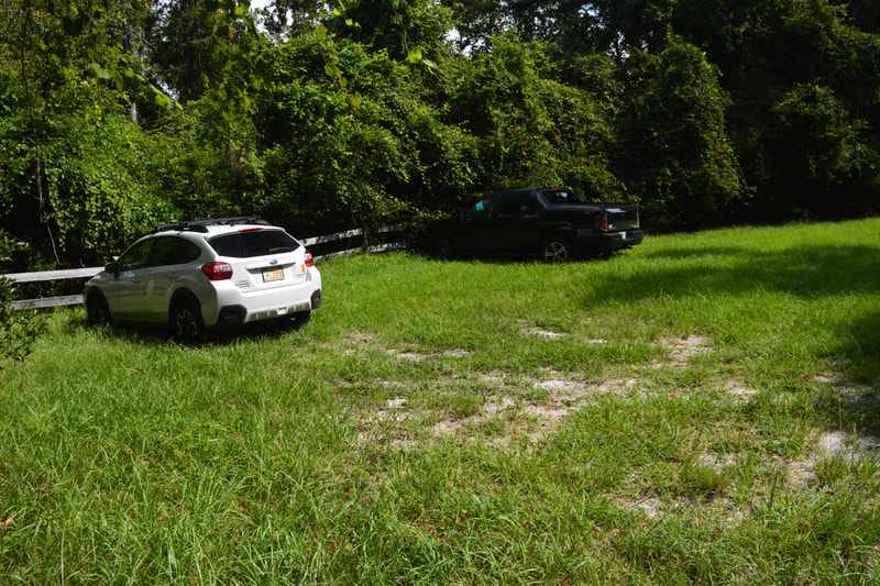
Duration of Hike (One Way to Swift Creek): 4:00 plus 2 hours and 20 minutes of stopping and photography Type of Hike: Out and Back Difficulty Rating: 9 out of 10 Pros: Continuous wonderful views of the Suwannee River; lots of unique Florida scenery; dry feet year round Cons: Surprising amount of elevation gain for a Florida trail; potential for humongous numbers of ticks in summer; Swift Creek's rapids will vanish underwater if the water is very high Points of Interest: Camp Branch; Suwannee River (five spectacular views); No Name Creek; Jerry Branch; Swift Creek Trail Blaze Colors: Camp Branch Trail - Blue; Florida Trail - Orange Best Seasons to Hike: Winter; Spring Fees: None Beginning Point: Camp Branch Conservation Area Trailhead Directions from White Springs, FL: Follow Camp Street West from Highway 41 (Roberts Street) in downtown White Springs for 0.3 miles. Then, turn left on Osceola Street. Continue on Osceola Street, which turns into County Road 25A, for 7.6 miles. Then, turn left onto the overgrown dirt road that serves as the entrance road to Camp Branch Conservation Area. The road isn't marked from this end, but a brown "Camp Branch" sign designates the turn coming from the other direction along CR 25A. Follow the rough dirt track for 0.6 miles to the dead-end parking area. Although all regular passenger vehicles should be able to drive down this road, you'll want to drive slow and with care in a lower clearance vehicle. Map
Click the link below to download a .GPX file with a track of this hike.
Details
When the opportunity for a full day hike along the Suwannee River turned up, I could hardly contain my excitement. The Suwannee River valley is possibly my favorite hiking area in Florida, and yet, I'd barely scratched the surface with short stops on the way to somewhere else. This time, I'd have a real Suwannee River hiking experience. As expected, the scenery was splendid. I didn't really regret doing this hike during summer either; all the vegetation was very lush and the trail was still dry, unlike many other Florida Trails during what was becoming one of the wettest summers on record in the state.
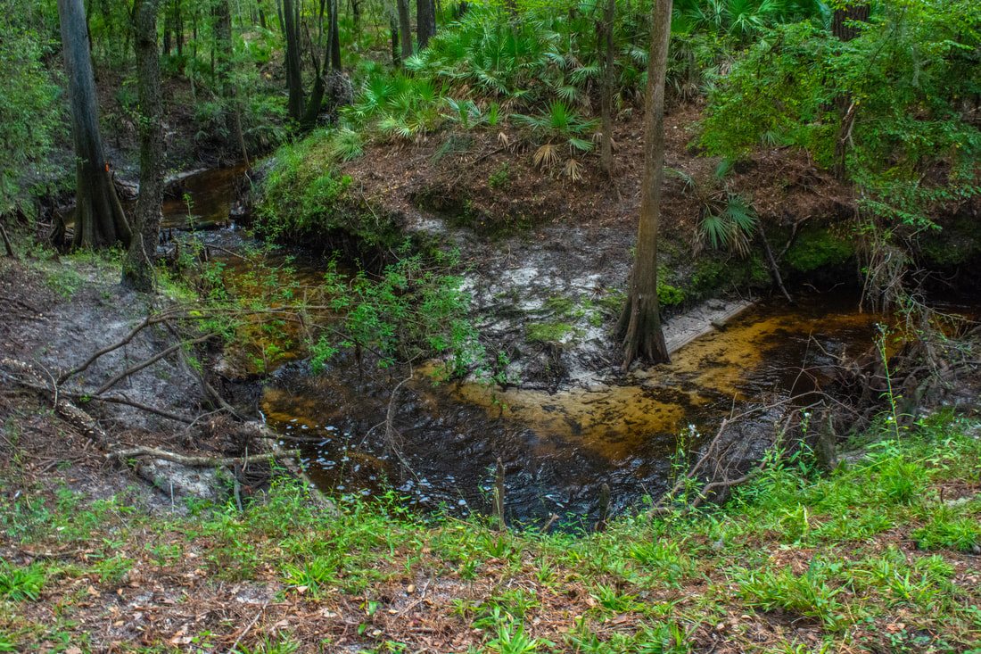
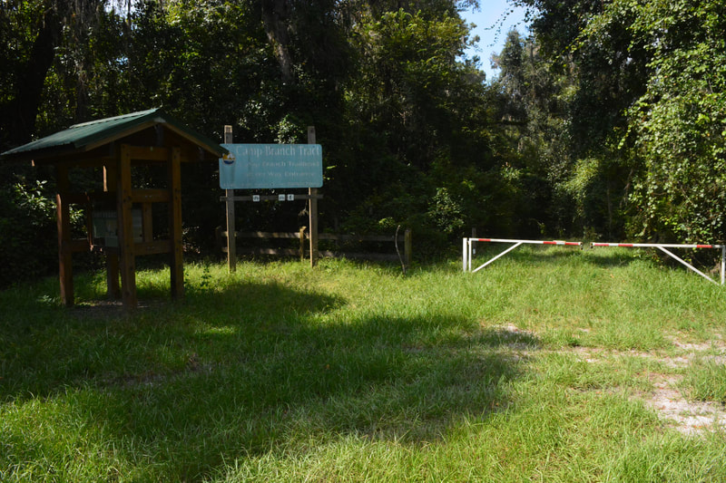
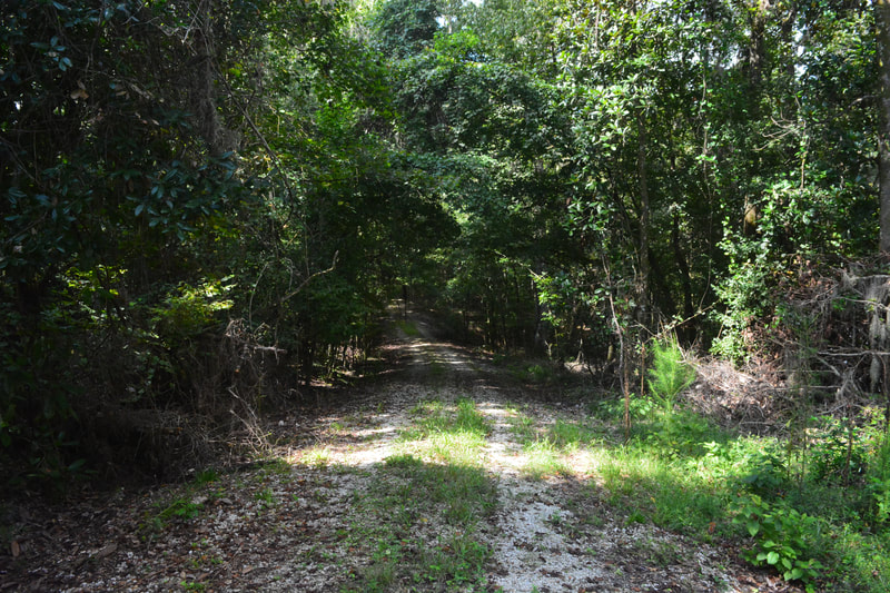
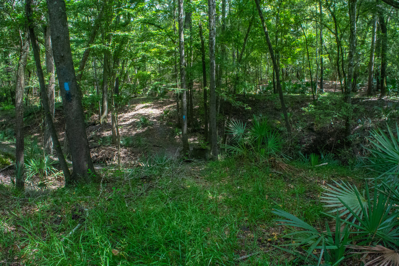
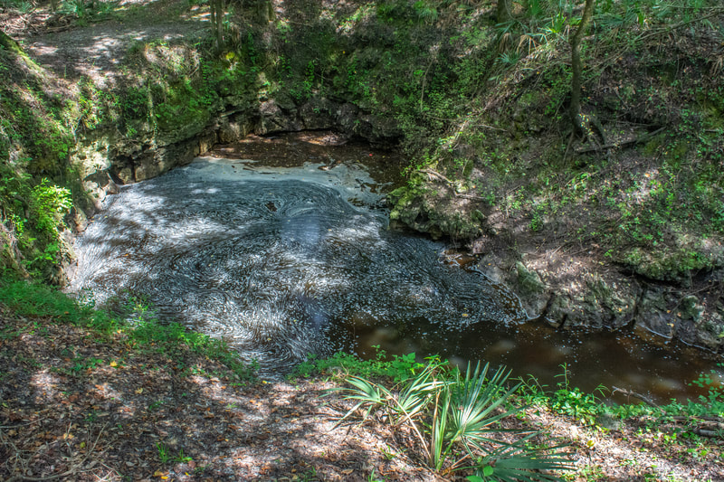
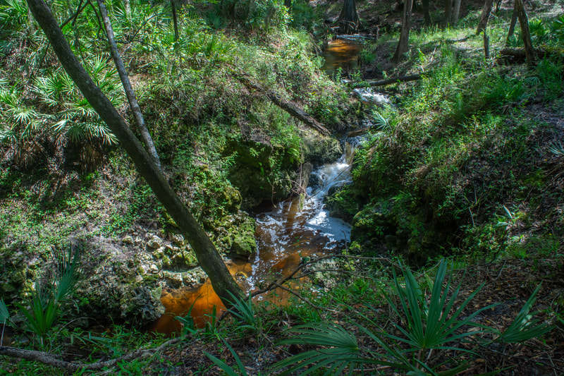
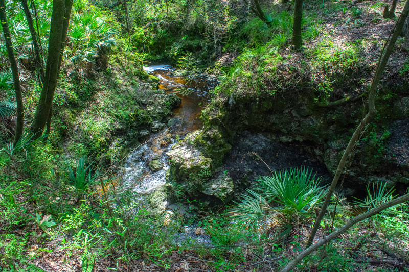
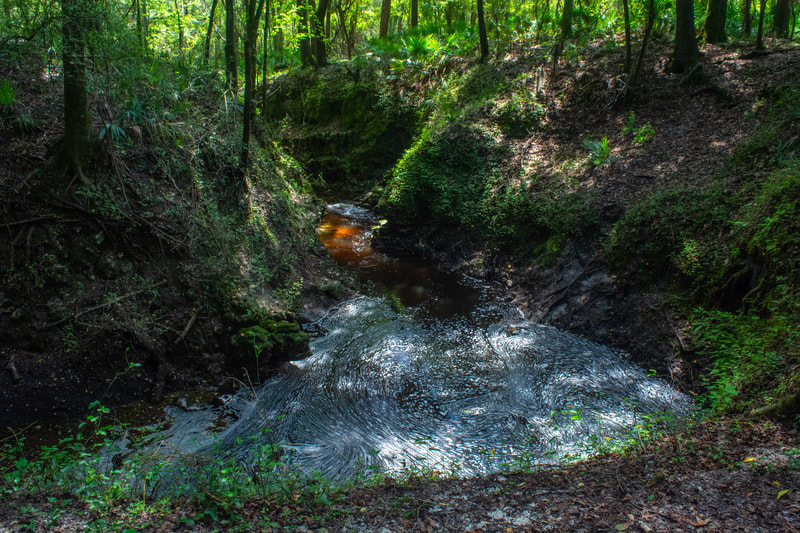
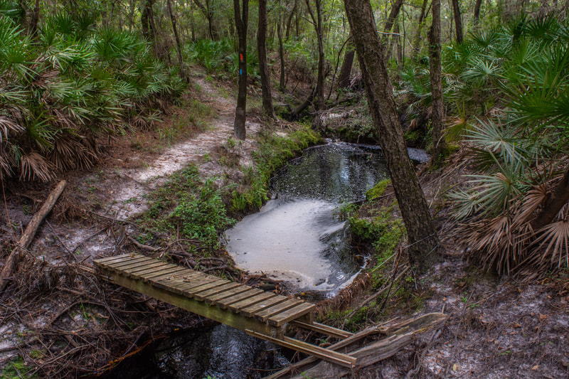
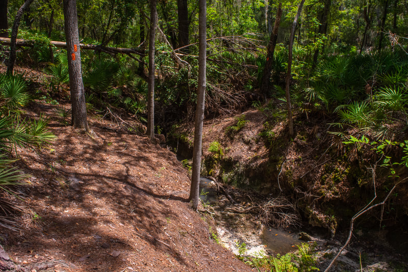
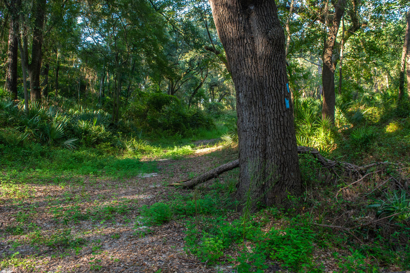
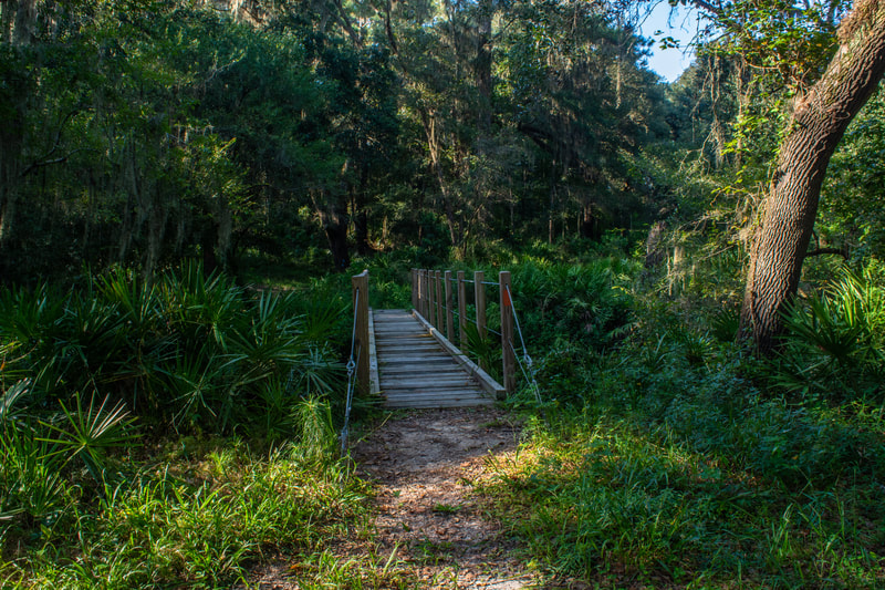
I arrived at Swift Creek, my turnaround point, around 5 hours after the hike's start. I innocently set up for a short break before heading back, and that's when I discovered these tiny specks on my legs. Most appeared like dirt, but I noticed that a few of the specks were moving. Yep. My first experience with seed ticks. I hadn't seen so many ticks on all my hikes this year combined! I don't have much doubt that I flicked over a hundred seed ticks off my ankles and lower legs. Sitting on such a high footbridge did afford a great place to dispose of the ticks and guaranteed that they wouldn't return - well, at least these ones wouldn't. The ticks were honestly such an appalling sight that I decided to bail on my plan and instead walk out to CR 25A and roadwalk back to my vehicle. No way would I go back through all those ticks - or even more of them - again! Oh, almost forgot - the next day I discovered I'd been eaten up by chiggers as well. At least the chiggers weren't a huge surprise. I'd gotten chiggers on five of my seven hikes this summer in Florida (in case you're interested, more chigger cases in one month than I had combined since I started hiking). So I'm sure this glowing introduction has you chomping at the bit to hike this trail. The truth is that none of this will be an issue in the cool season. I've read that the Suwannee River valley has "more than its fair share of ticks", and apparently that's not an exaggeration, but at least the ticks die off as it cools down! With that in mind, let's move on to the hike description. The Florida Trail connector begins along a gated forest road by the kiosk at the parking. The trail starts out with a surprisingly steep dip into a ravine, where a clear, seasonal rivulet drains the Camp Branch valley. The trail shortly rises back out and winds along the plateau for the time-being. At 0.65 miles, the first blue blazes appear. The main trail turns right, but a more overgrown forest road continues straight. The trail straight is a shortcut to the Florida Trail that you'll pass later. The primary drawback is it cuts out the extremely interesting Camp Branch area. The shortcut is a good option for your return route though, as it changes the roundtrip hike length from 17.2 miles to 15.8 miles. Meanwhile, the main trail begins a gradual descent along a sandy road through pleasant woods into the Suwannee River valley. Don't miss the junction at 1.25 miles, where the tight blue-blazed side trail to Camp Branch leaves right from the main road. You'll return to the road a bit further down. The side trail goes over a few bumps and pops out above the Camp Branch sink at 1.3 miles. Observe how Camp Branch rushes through a surprising limestone chasm before "disappearing" into the bowels of the Earth through a foamy sink, hence the nickname "Disappearing Creek". The creek never resurfaces again until it feeds into the Suwannee River at an undisclosed, off-trail location.
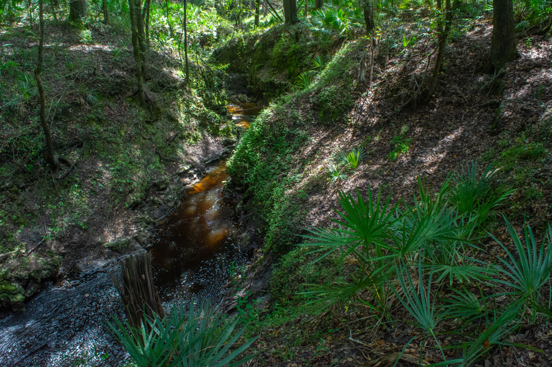
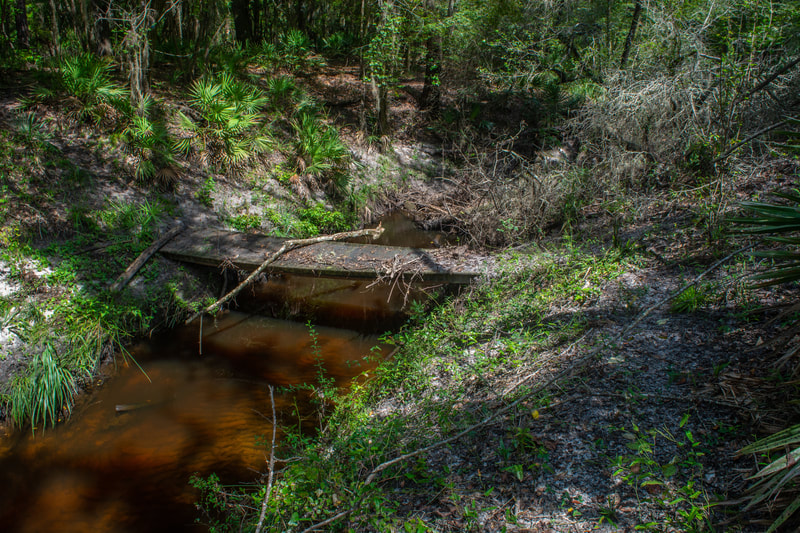
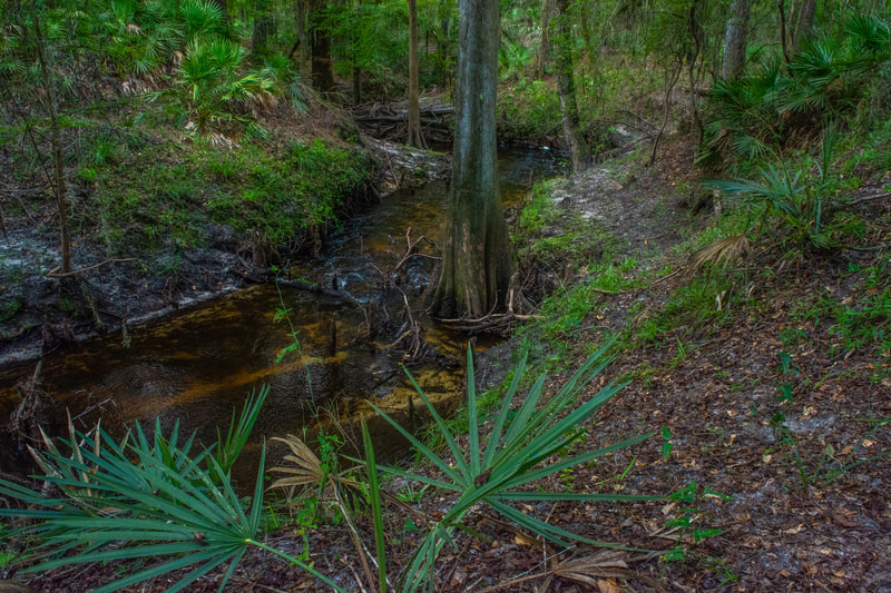
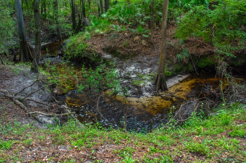
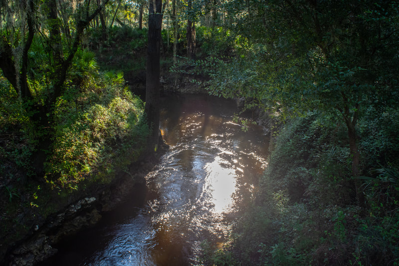
The area around the Camp Branch sink is confusing to say the least. The main trail actually turns left and shortly reaches the Florida Trail, but hold on! A slim path starting on the right follows the east side of Camp Branch, crosses it via a rickety footbridge less than a quarter-mile upstream, and then affords more views of this scenic waterway before looping back to the sink. It doesn't help that both the main trail and the loop are blazed blue. If you've got a bit of extra time, I highly recommend the short Camp Branch loop, as it provides an intimate experience with a truly gorgeous Florida creek. Hiking the little loop counter-clockwise, you'll first follow Camp Branch upstream past noisy cascades gushing through a unique limestone canyon. The creek turns mellower further up, snaking among stately cypress trees and abrupt sandy bends. At 1.45 miles, the little loop reaches its far end at a rickety footbridge crossing Camp Branch. Follow the blue blazes to the other side, where the trail now follows the swift stream downstream, affording lots of scenic views. Finally, the mini-loop ends back at the Camp Branch sink around 1.6 miles. The trail soon passes along the edge of another mysterious sink before reaching the Florida Trail at 1.7 miles.
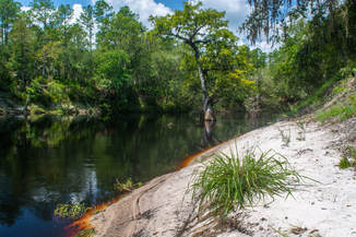
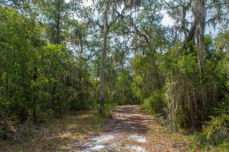
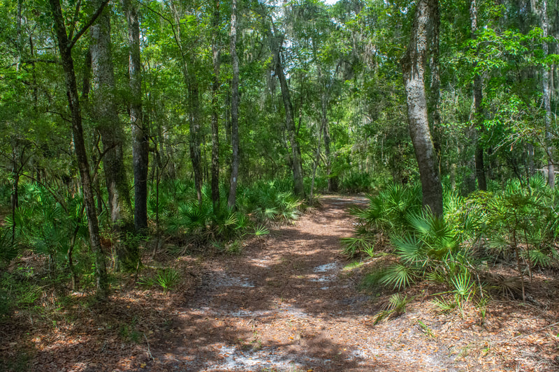
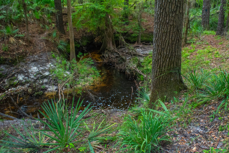
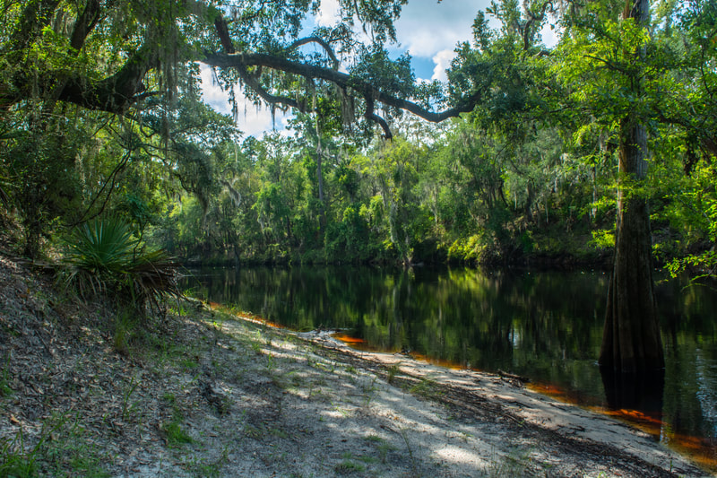
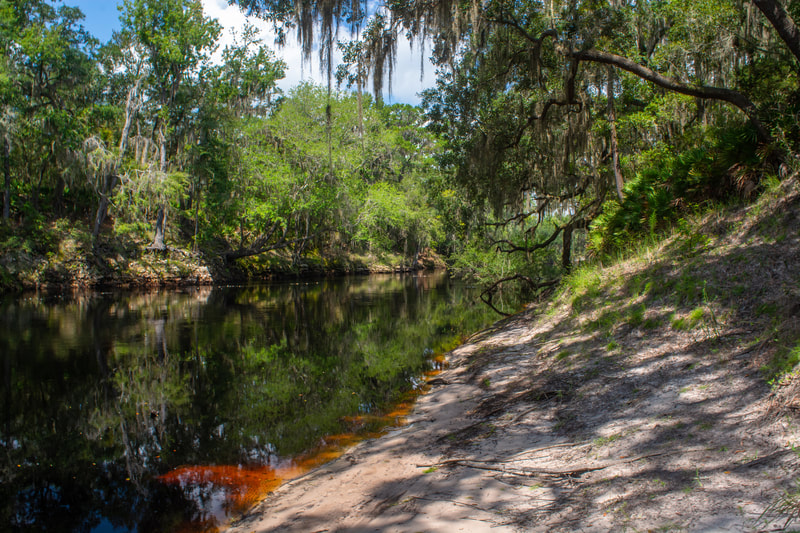
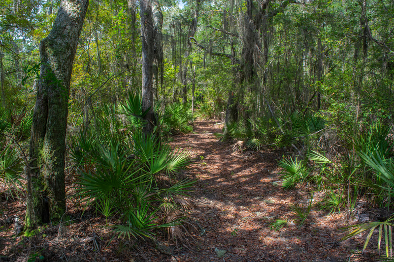
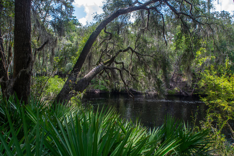
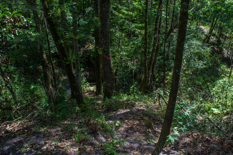
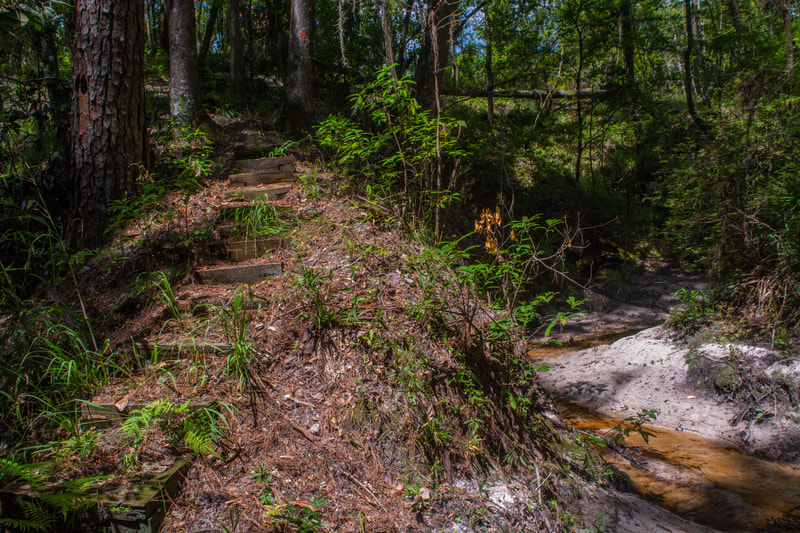
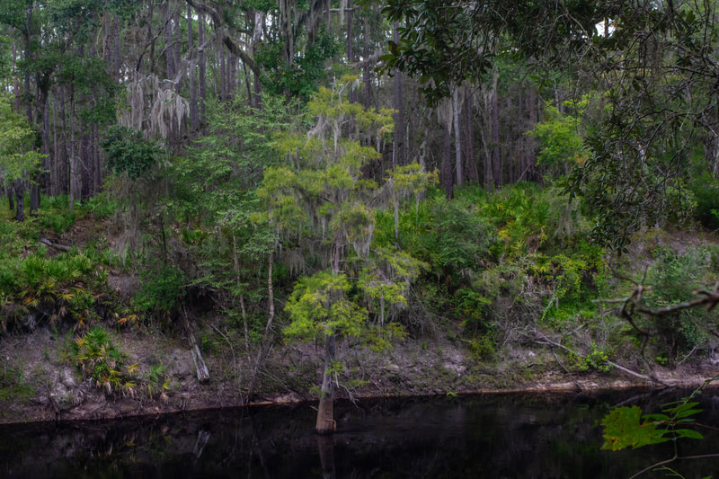
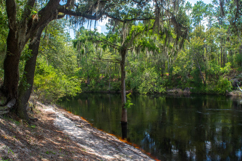
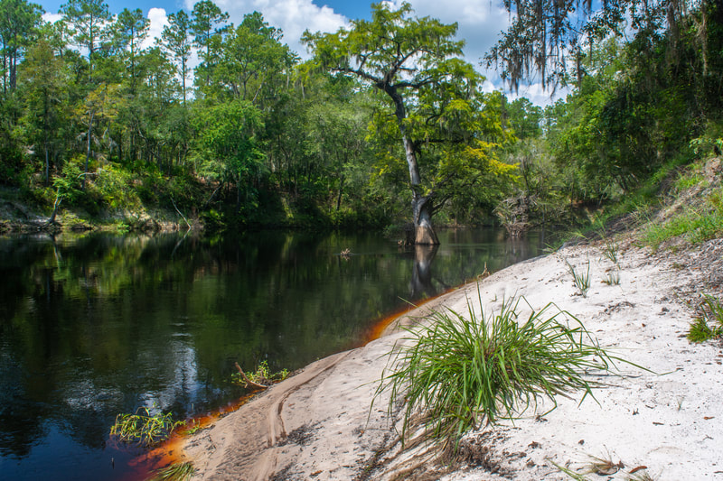
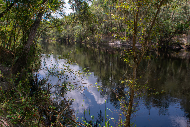
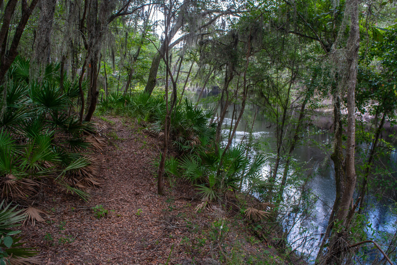
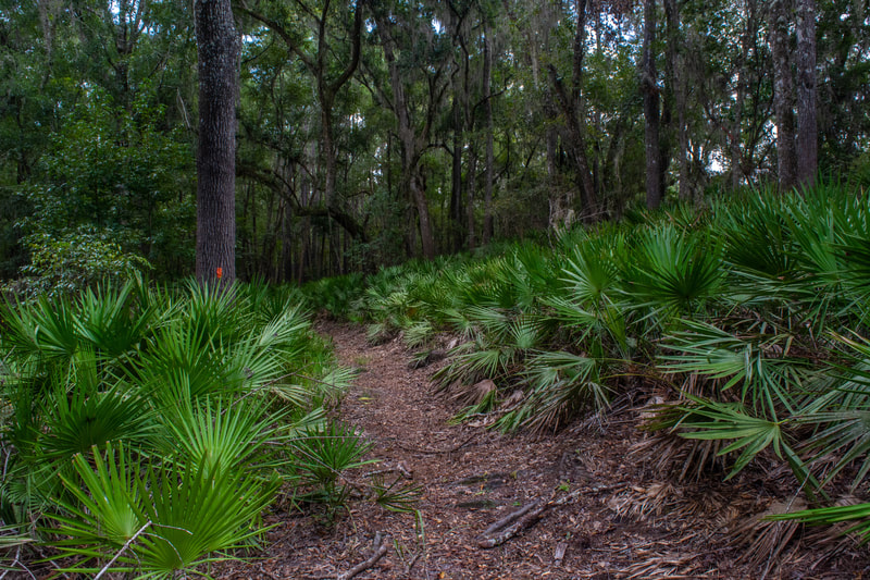
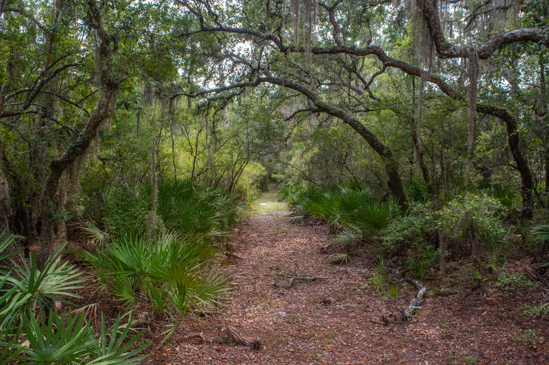
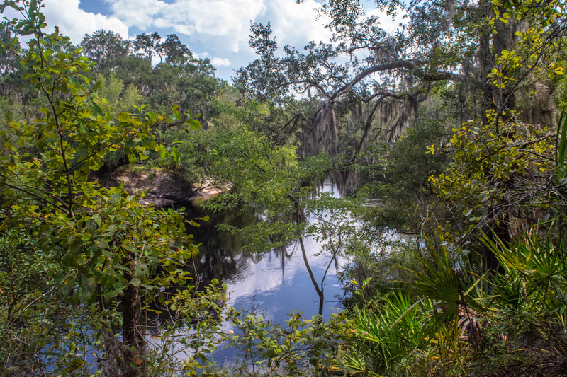
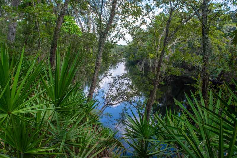
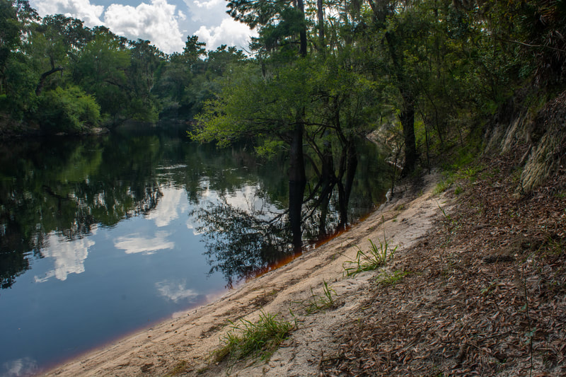
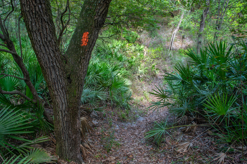
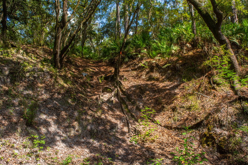
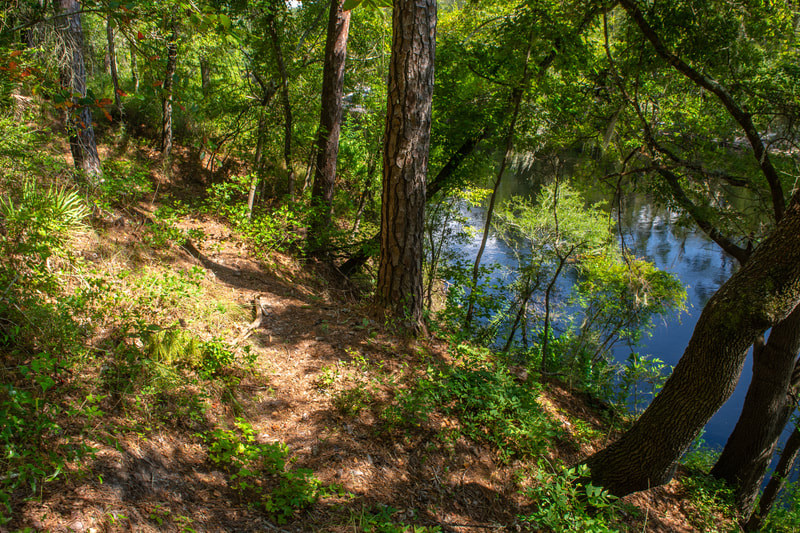
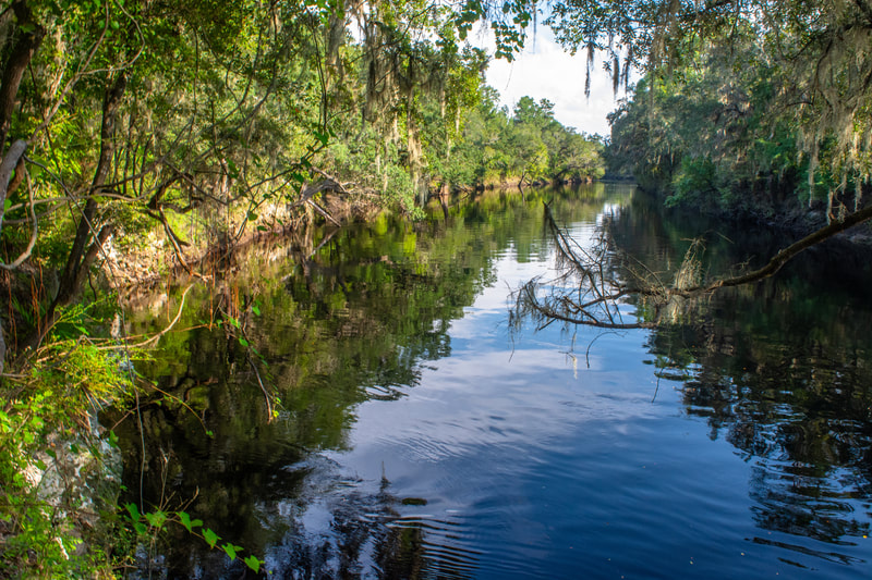
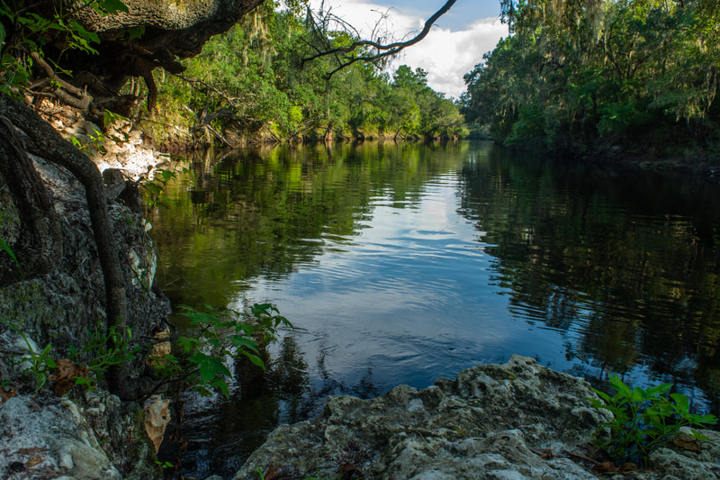
If you're headed south on the Florida Trail toward Jerry Branch and Swift Creek, which is the direction of this hike, turn left onto the orange-blazed pathway (in the other direction, the trail reaches Suwannee Springs and Highway 129 after several miles). At 1.8 miles, a side path leads right to the first of five particularly noteworthy Suwannee River accesses on this hike. Walk down the track for the day's first unobstructed view of the grand river. A gorgeous cypress tree stands straight ahead where the bright sandy shore meets the contrasting dark water. Back on the Florida Trail, you'll find it to be a lovely path twisting through rows of palmetto beneath a pleasant live oak canopy, and at times, meandering atop the sandy bluffs near the water's edge. There aren't many parts of this hike that aren't a pleasure to walk - it's a wonderful trail from beginning to end. The trail starts clambering up a surprisingly steep hill at 2.3 miles. At 2.6 miles, meet the other end of the blue-blazed shortcut you saw along the Camp Branch access. Remember this spot, as the shortcut could be useful on your return trip. The trail drops steeply down to the river, but it doesn't stay there for long. The riverside shortly turns into a near-vertical slope that rises over a hundred feet high near the No Name Creek confluence, and the Florida Trail must climb the hike's highest hill. Near 3.15 miles, the trail turns right and traverses the (slightly soggy) edge of an overgrown meadow. A tenth of a mile later, the trail makes an abrupt right turn and drops down a very steep slope into the No Name Creek valley. This slope is so steep that it's home to a lengthy series of wooden steps! Yes, you're still in Florida. Reach No Name Creek - a clear, sandy waterway - at 3.3 miles. Rumor has it that the creek had been unnamed on maps when the Florida Trail Association came across it while building the FT through the Suwannee River Valley. The FTA felt that the creek was too large and noteworthy to stay unnoticed, so it adopted the moniker "No Name Creek".
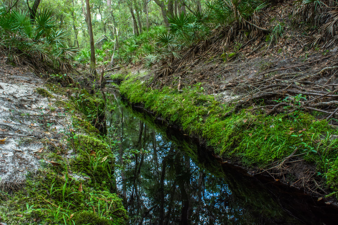
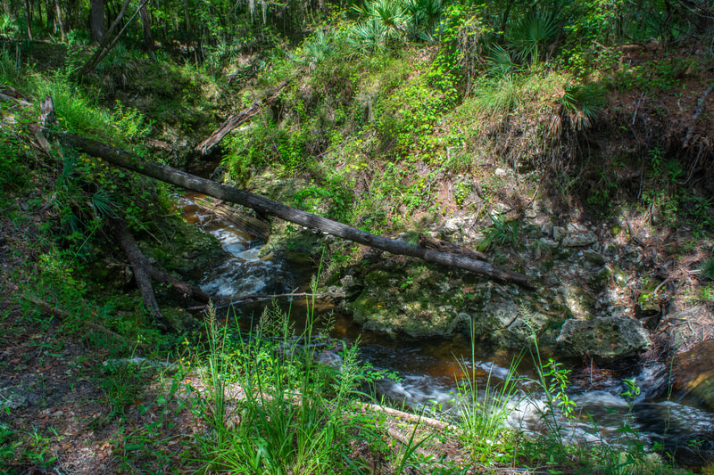
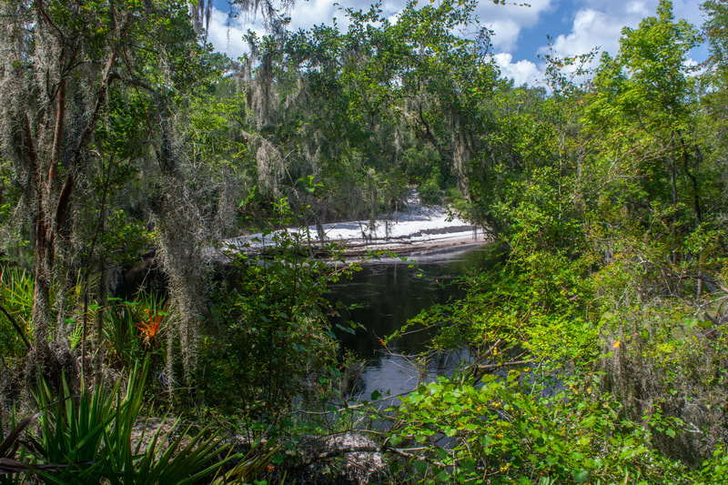
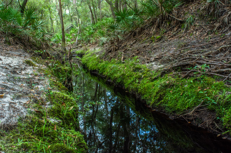
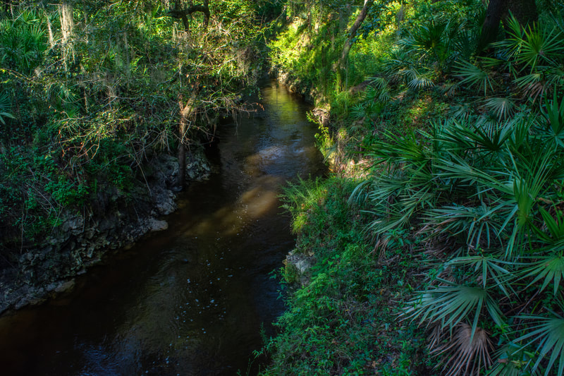
The trail climbs out of the No Name Creek ravine and then contours along the slope high above the river. This section can be a bit confusing and overgrown - watch for the orange blazes. At 3.75 miles, the Florida Trail reaches Jerry Branch, a very scenic Suwannee tributary. The swift creek rushes through a constricted channel surrounded by steep, palmetto-covered slopes. The trail crosses the creek via a rickety wooden footbridge and instantly climbs out of the valley. Before you leave Jerry Branch though, note the gorgeous mossy channel (pictured above) just below the crossing. Meanwhile, the main trail curves around the Jerry Branch ravine and abruptly returns to the Suwannee River at 3.9 miles. At 4.1 miles, the trail reaches a steep side path that leads to my favorite view of the river on the hike. Stately cypresses stand sentinel above a sparkling white riverside beach. Continuous river views abound for the next half-mile. At 4.6 miles, there is a confusing spot, where the orange blazes appear to take the trail straight down a sandy bluff into the river. It appears that a piece of the trail had simply eroded away with the bluff. Although I expect that a reroute will be blazed here soon, just keep in mind you may need to bushwhack through palmetto for about a hundred feet.
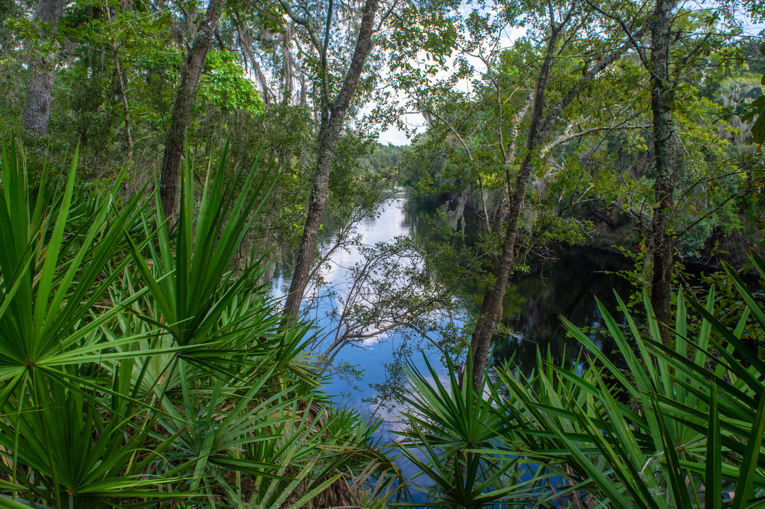
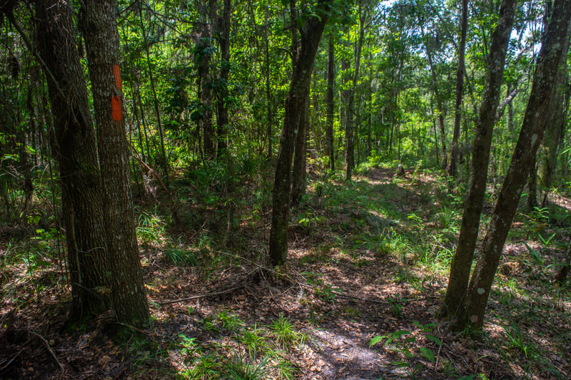
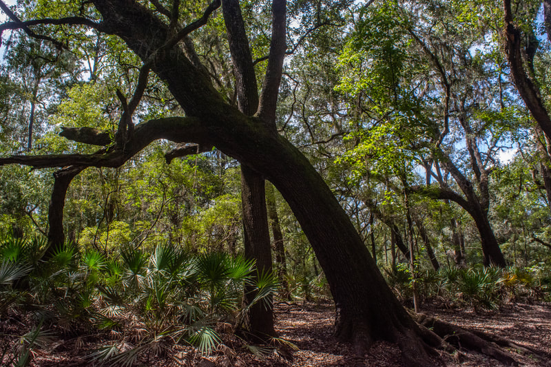
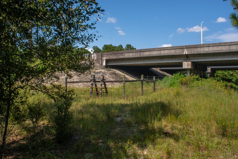
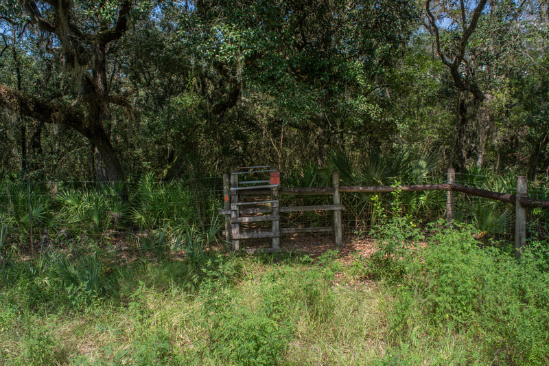
At 4.7 miles, another path leads to more panoramic river views. The trail temporarily leaves the river here, passing through a gorgeous palmetto-lined corridor beneath live oaks at the edge of a small depression. Make a surprisingly tricky scramble across a limestone-lined mini-canyon at 4.8 miles. The trail now aims for uplands a little above and just out sight from the river corridor, meandering through gorgeous palmetto corridors beneath stately live oaks. Keep an eye on the orange blazes as the trail hops right onto an old logging road at 5.1 miles and leaves left shortly thereafter at 5.5 miles. The trail continues to snake through a dry but pretty forest until about 7.5 miles, where you reach a campsite with your first view of the river in a while at a picturesque palmetto-framed bend. A few yards farther, a side trail drops right to the sandy shore. Meanwhile, the hum of Interstate 75 steadily grows in intensity. Suddenly, at 8.15 miles, the trail reaches the I-75 Suwannee River bridge. Climb through a stile and follow the path below the trembling double bridge. On the other side, the trail climbs another stile before re-entering deep woods. At 8.3 miles, the trail descends moderately into the Poucher Branch hollow, which was surprisingly near-dry on this summer hike. The other side presents an extremely steep scramble out of the ravine. Why, yes, there's even a climbing rope to assist you - didn't think you'd see one of these in Florida, huh? Past Poucher Branch, the Florida Trail closely parallels the Suwannee River along a surprisingly steep slope. Finally, at 8.7 miles, the Florida Trail reaches Swift Creek, this hike's turnaround point.
Swift Creek is one of the Suwannee's most spectacular and unique tributaries. The creek is truly swift, tumbling through a tight limestone canyon over noisy rapids, before dumping into the Suwannee. In the dry season, that is. To my chagrin, the wet season scene was drastically different: the high water of the Suwannee had backed far up into the Swift Creek canyon, obscuring any trace of the rapids. It's still a beautiful spot, but I recommend visiting in the dry season to get the full taste. A blue-blazed trail continues straight into the uplands for 0.6 miles to an access point at Rooster's Outfitters off SE 141st Blvd near CR 25A. Ignore it and cross the footbridge high above Swift Creek, admiring the canyon that the creek has cut through. There aren't too many creeks like this in Florida. Just past the bridge, a well-used side trail leads right and drops down to a rock outcrop at the confluence of Swift Creek and Suwannee River. This is one of the best river views on the hike.
Unless you have a second vehicle a couple miles ahead at CR 25A, or unless you've been attacked by seed ticks, turn around and begin retracing your steps back to the Camp Branch Trailhead. Remember that you can take the blue-blazed shortcut and conclude the hike at 15.8 miles. If you choose to follow the entire route back, then your hike will total 17.2 miles. To summarize, this is a classic Suwannee hike that comes with a sampling of all that the Suwannee River valley has to offer. You will find lots of great river views, intricate creeks to view, and pleasant woods to ramble through. Mileage
0.0 - Camp Branch Trailhead
1.3 - Camp Branch Sink 1.7 - Florida Trail 1.8 - Suwannee River Access 1 2.6 - Shortcut 3.3 - No Name Creek 3.75 - Jerry Branch 4.1 - Suwannee River Access 2 4.7 - Suwannee River Access 3 7.5 - Suwannee River Access 4 8.15 - Interstate 75 8.3 - Poucher Branch 8.7 - Swift Creek 15.8 or 17.2 - Camp Branch Trailhead Variations
Hike just the Camp Branch Loop - 2.9 Miles
Bonus Stops
One of the more interesting historic sites along the Suwannee River, Suwannee Springs, is located not far to the west off US 129. It could be worth a peek after the main hike.
Pictures
2 Comments
9/12/2019 11:28:31 am
That's good to know that the river views start at about 4.5 to 5 miles in. My family has been planning a trip to Suwannee River and we weren't sure what to do while we are there. We'll have to try this hike, depending on how close it is to our vacation home!
Reply
Alexis
9/18/2022 07:09:36 am
Thank you so much for this amazing trip report! Your photos are awesome too! Can’t wait to make this hike with my husband and climb some Florida hills!
Reply
Leave a Reply. |
About MeMark Oleg Ozboyd Dear readers: I have invested a tremendous amount of time and effort in this website and the Georgia Waterfalls Database the past five years. All of the work that has gone in keeping these websites updated with my latest trip reports has almost been like a full-time job. This has not allowed me to pick up a paid job to save up money for college, and therefore, I I've had to take out loans. If you find the information on this website interesting, helpful, or time-saving, you can say "thanks" and help me out by clicking the button above and making a contribution. I will be very grateful for any amount of support you give, as all of it will apply toward my college tuition. Thank you!
Coming in 2022-2023?
Other Hiking WebsitesMiles HikedYear 1: 540.0 Miles
Year 2: 552.3 Miles Year 3: 518.4 Miles Year 4: 482.4 Miles Year 5: 259.9 Miles Archives
March 2021
Categories
All
|
||||||



 RSS Feed