HIKING THE APPALACHIANS AND BEYOND
  • Home
  • Trail Reports
    • Best Hikes
    • Hikes with Scenic Views
    • Hikes with Water Features
    • Alabama
    • Georgia
    • Florida
    • North Carolina
    • South Carolina
    • Tennessee
    • Vermont
    • Virginia
  • Map
  • Hike List
  • Testimonials
  • Resources
  • Contact Us
  • Southeast Nature Society
    • Our Team
  • Georgia Waterfalls Database

Caladesi Island State Park: Island Trail, Hammock Loop, and Beach Trail, Dunedin, Florida

9/11/2016

2 Comments

 
Picture
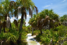
Most Florida islands with beaches have become developed, due to beaches acting as a magnet for vacationers and resort developments. Luckily, Caladesi Island - a barrier island off the coastline of Pinellas County - was purchased by the state of Florida. It is now accessible only by boat or ferry, or by a long walk along the beach from Clearwater Beach through sand-filled Dunedin Pass. Today, we have a couple of miles of undisturbed beaches on the island, as well as a several-mile hiking trail that leads through the island scrub and into a hammock where you will get to see the Scharrer Homestead. That is, if you're brave enough to face the mosquitoes. This hike occurred on Sunday, June 26th, 2016. My plan was to take the ferry from Honeymoon Island to Caladesi Island in order to hike the trail system on Caladesi Island. From the ferry dock, I would take the Island Trail to the Hammock Loop. Then, I would hike the Hammock Loop, as well as the spur trail to the Scharrer Homestead, before taking the Beach Trail and then returning to the ferry dock via the beach. 

Summary

R/T Length of Trail: 3.9 Miles 
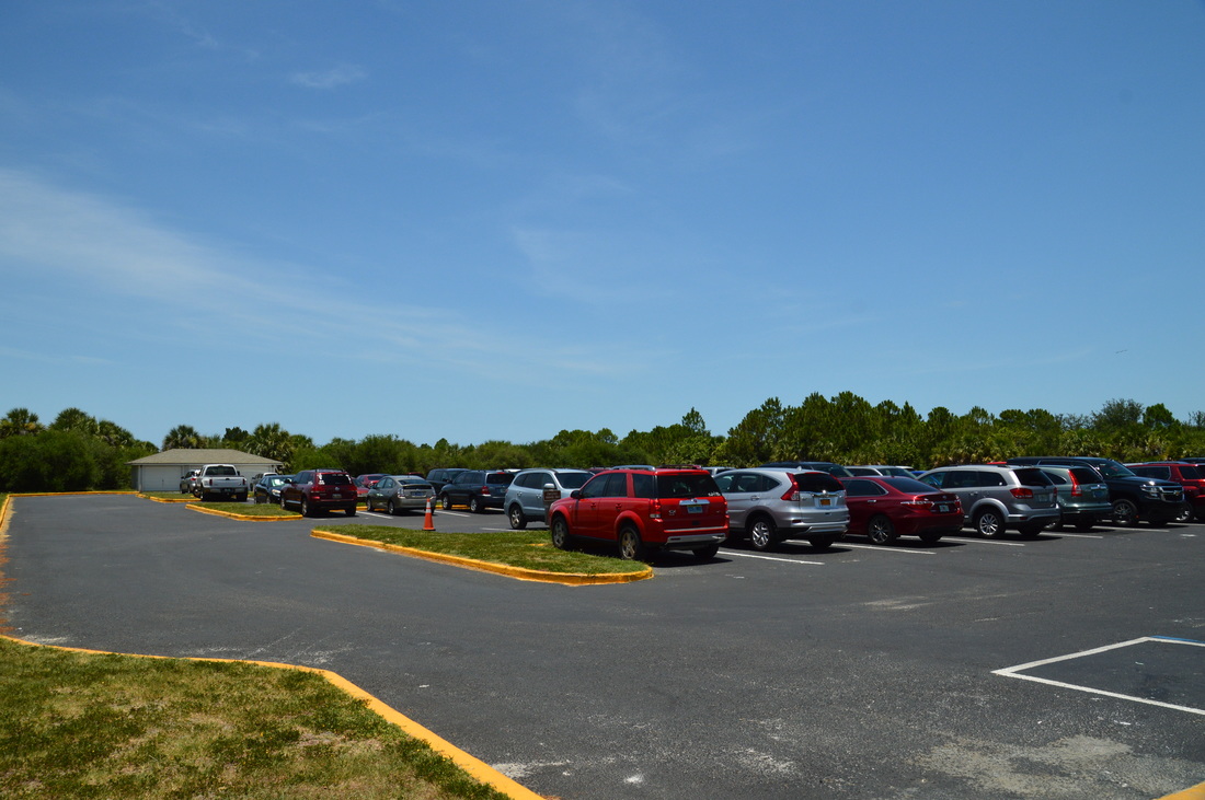
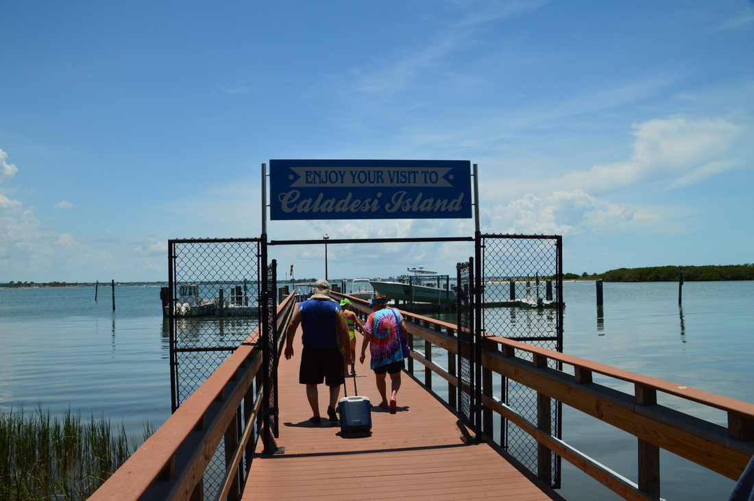
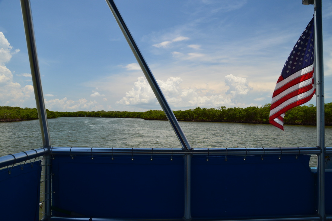
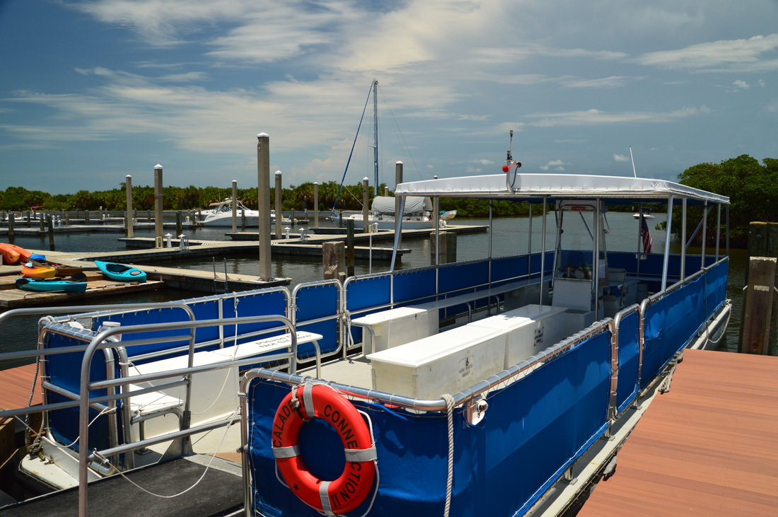
Duration of Hike: 2:45 
Type of Hike: Double Loop with Extension 
Difficulty Rating: 1 out of 10 
Total Elevation Gain: Minimal 
Pros: None 
Cons: Mobs of mosquitoes in the island's hammock at least during summer
Points of Interest: The Twin Pine; Ruins of the Scharrer Homestead; Freshwater pond; Views of Dunedin Pass; Cat's Eye Pond
Trail Blaze Color(s): None 
Best Season(s) to Hike: Winter 
Fees: There is a $8 entrance fee to Honeymoon Island State Park for vehicles with 2-8 passengers, and a $4 fee for single occupant vehicles. Then, there is a fee for the Caladesi Island Ferry. The ferry fee is $14 per adult and $7 per child (ages 6-12). Children that are younger than 6 years old are allowed for free on the ferry. Also, dogs are not allowed on the ferry. 
Beginning Point: Ferry terminal on Caladesi Island 
Directions from Dunedin, FL: Follow US 19 Alternate Route North to the intersection with FL State Route 586 (Causeway Boulevard). Here, turn left onto Causeway Boulevard. Continue for 3.3 miles across the bridge to Honeymoon Island. After 3.3 miles, enter Honeymoon Island State Park. After paying your fee, continue for 0.1 miles farther, and then, turn left onto the road to ferry terminal. Reach the huge Caladesi Island Ferry parking area in 0.2 miles.
​From here, walk to the booth at the upper right end of the parking area. Pay the ferry fee here, and walk the boardwalk to the ferry terminal. Wait here until you're given a signal to get on board the ferry. The ferry ride is about 10 minutes long, The ferry follows a route to the east of Hurricane Pass and into a mangrove maze near the northeast end of Caladesi Island, where the Caladesi Island terminal is located. Leave the ferry here and begin your hike. Your return time should be on the ticket that you were given, although a ferry runs back and forth every 30 minutes during summer and every hour during winter. You are allowed to spend up to 4 hours on the island. 

Map

Click ​here for more information and to download this trail map to view in Garmin Basecamp.

Details

It felt great to be back in Florida for the summer. I had been looking forward to over a month of hiking in Florida for quite some time, but the hike that I chose to begin with proved to be not the best. It wasn't too bad, but the mosquitoes absolutely ruined it. I've never seen so many mosquitoes on any of my hikes, including all of my other Florida hikes combined. For this reason, I do not recommend hiking on the island during summer, which is a shame considering that summer is a good time to cool off at the island's beach after the hike. At least, I hope that there's no mosquitoes during other times of the year. 

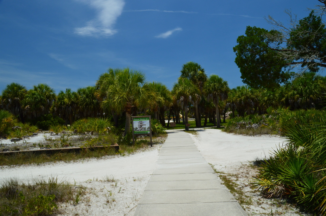
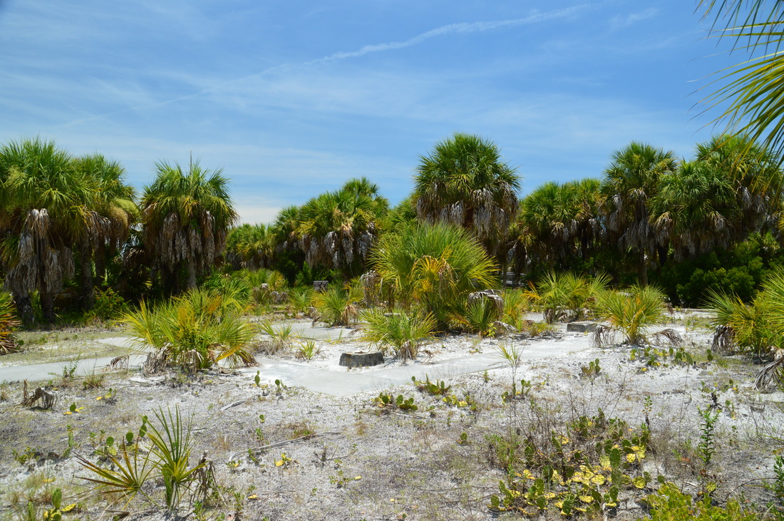
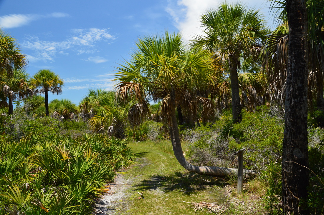
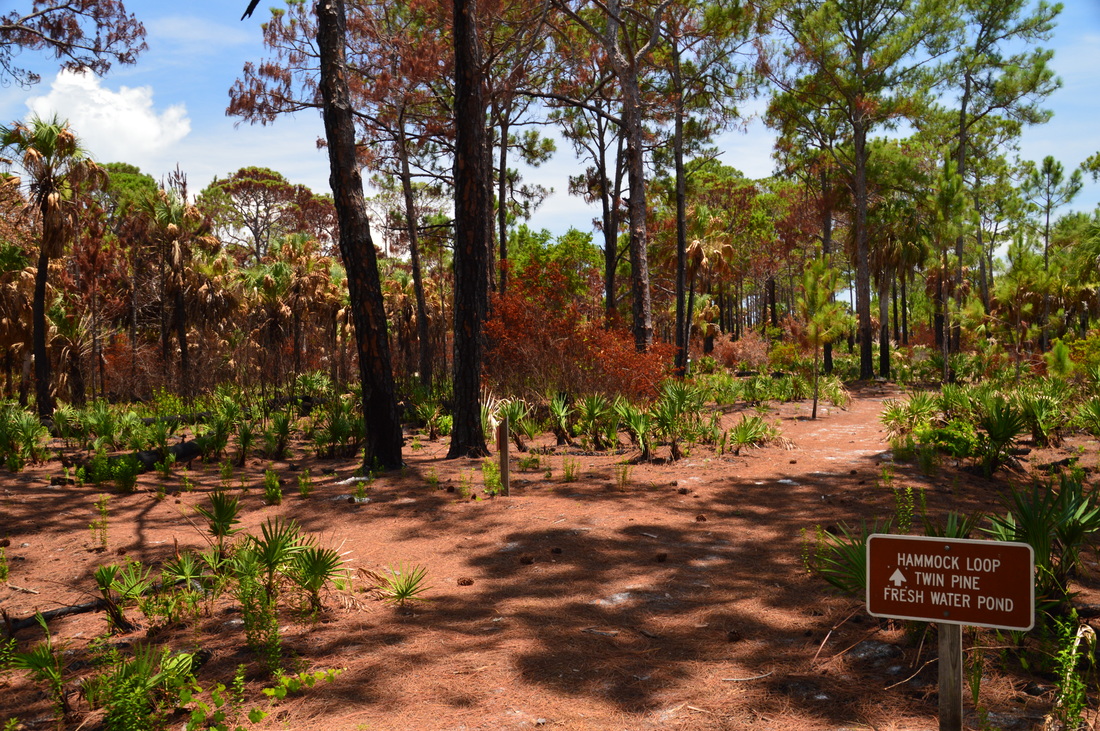
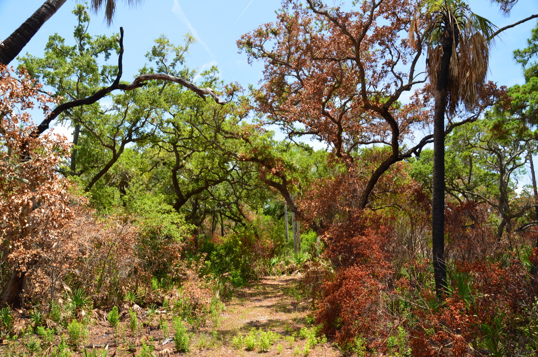
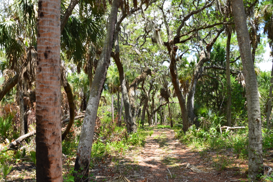
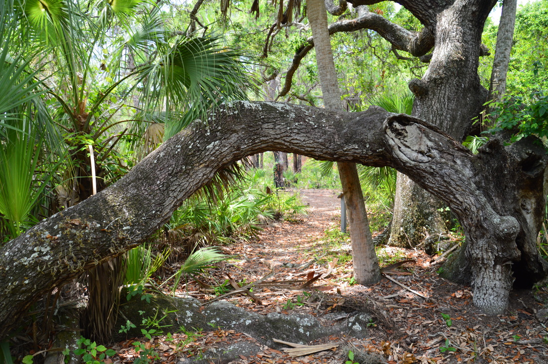
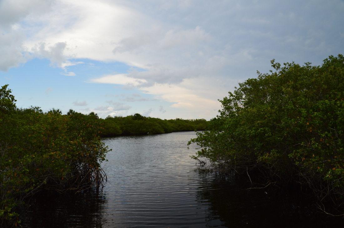
At first, I was at a loss as to where to start the hike - the simple idea of walking through the ranger station building had eluded me. The ranger station is located directly in front of the ferry terminal. The access trail to the main trail system begins as a paved path behind the ranger station. There is a sign that warns you about the island's rattlesnake population. I think that they should have placed one about the mosquitoes too! Quite shortly, the paved path reaches a sign marking the beginning of the Island Trail. The paved path continues straight to a boardwalk to the beach. At the junction with the Island Trail, you can see the overgrown remains of an old fire tower. All that is left is the concrete foundation. 

As I turned left onto the Island Trail, I noticed my first gopher tortoise of the day, crawling into the palmettos to the trail's left. A few feet farther, a large sign shows a sketch of the Island Trail along with key information about it. After this, the wide, sandy trail takes off into the island scrub. Lined by palms and palmettos, the trail is pretty much out in the open under the blazing sun. 0.15 miles from the beginning, the trail crosses a wide route that connects the park service road to the beach. Throughout the first part of the Island Trail, the hike remains pretty much the same. At one point, the trail passes a neat cabbage palm that has a long horizontal trunk just above the ground, until the trunk suddenly shoots up towards the sky and the crown of the tree. At 0.6 miles, the trail reaches an intersection with a shortcut that leads to the right to Cat's Eye Pond and the beach.

​Continue straight on the Island Trail that leaves the open land and enters the shade of the hammock. Normally, the shade would've been cool and refreshing, but on this day, I didn't welcome it heartily, for the amount of mosquitoes increased twofold. The trail winds along the edge of the hammock, passing the remains of old mosquito control ditches, which may have standing water in them. At 1 mile, the Island Trail ends at a four-way junction. Straight ahead,the Beach Trail continues to Cat's Eye Pond - you'll take this trail later on. The Hammock Loop turns to the left, splitting a few feet farther, with one part of it going left again and the other part continuing straight. I turned left onto the Hammock Loop, and then, I turned left again, in order to hike the loop clockwise. Passing through a controlled burn area, the Hammock Loop crosses the main service road at 1.1 miles. Shaded by sand oaks, the Hammock Loop leaves the controlled burn area and reaches the Twin Pine at 1.25 miles. There is also a great deal of information about the Scharrer homestead here, which I will explain in detail a bit later.

At 1.3 miles, the trail reaches what seems like a service road. Actually, if you turn left here, you'll reach the ruins of the Scharrer Homestead. For some reason, the spur trail isn't marked. I think that on some map I saw this spur trail marked as the Cedar Grove Trail, but I'm not sure of this, for I can't locate the map. Regardless, turn left to do the side trip to the homestead. This is a pretty stretch of trail due to the Spanish moss that the oaks' branches are draped in. As I approached the homestead ruins, I saw my second gopher tortoise of the day. Interestingly, while the tortoise is endangered, I actually saw many of them during the time that I spent in Florida.

​The spur trail ends at the Scharrer homestead ruins at 1.75 miles.
Picture
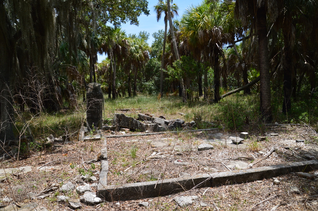
The ruins of the Scharrer Homestead.
​This homestead was occupied by Henry Scharrer from 1892 to 1934. Scharrer was an immigrant from Sweden, who decided to move to the US. He ended up settling Caladesi Island and spending the rest of his life there. When he moved there, the island became known as Hog Island, and later on, a hurricane split Hog Island in two, resulting in the Honeymoon Island, Hurricane Pass, and Caladesi Island that we see today. Henry Scharrer's home was pillaged and burned in 1934, when Henry himself was hospitalized in Dunedin. Scharrer died from his illness, at an age 74, in part due to his grief after he learned that his beloved island home was gone. After his death, several other people lived on the island, but for not as long as Henry Scharrer did. In 1967, Caladesi Island became a Florida State Park, and today, the stone ruins that you see are all that is left of the once thriving Scharrer house. All that remains is a couple of stone foundations, various stone rubble, and portions of a chimney. 

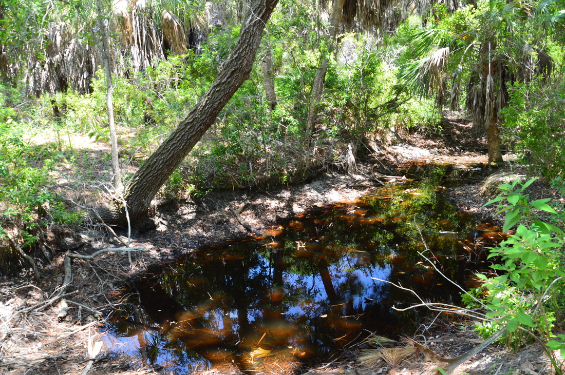
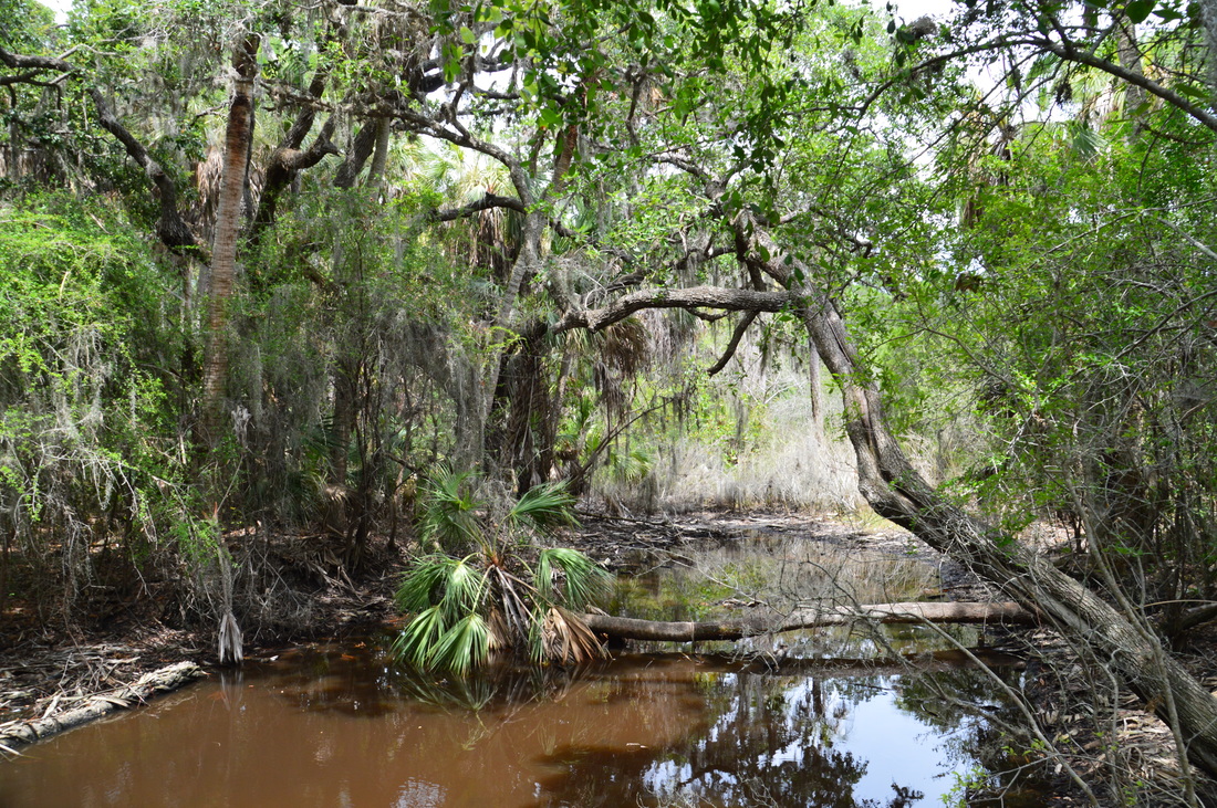
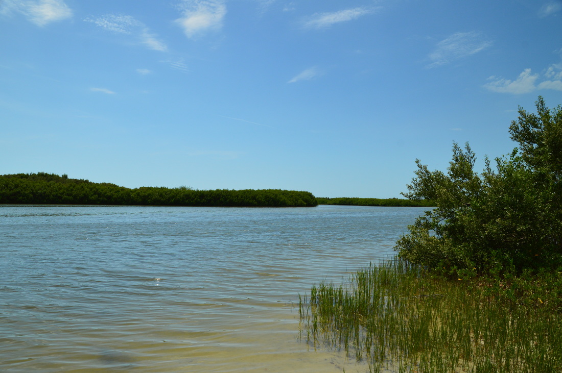
From the homestead, retrace your steps to the Hammock Loop, returning to it at 2.2 miles. Turn left onto the Hammock Loop. Shortly afterwards, you will pass a freshwater pond to the left, a surprising scene on an island surrounded by saltwater. A fallen palm lies across the small pond, and a large oak shades it overhead. The trail soon returns into the controlled burn area, crossing the service road again at 2.3 miles. By turning left onto the service road, one could follow it all the way to the south end of Caladesi Island, where there must be good vies of Dunedin Pass and the surrounding areas. However, I do not think that foot traffic is allowed or at least encouraged on the service road. Just beyond the service road, a short path to the left leads to a small sandy strip along the upper reaches of Dunedin Pass. From here, you can see the mangrove-lined bay and residential constructions on Clearwater Beach just to the south. 

The Hammock Loop continues past the views of Dunedin Pass and back north to the four-way junction, reaching it at 2.65 miles. By now, there was a huge cloud of mosquitoes weaving around me, and I was taking less and less pictures due to the fact that it was simply impossible to stop. I had to make up my mind to begin jogging on the rest of the hike to the beach, in order to get at least less mosquito bites! Regardless, I had a decision to make here. I could continue on the Island Trail and return the same way as I came here, or I could take the Beach Trail and then finish the hike along the beach. I opted for the Beach Trail, because I knew that once I would get to the beach, the sea breeze would prevent any mosquitoes from following me further. And in any case, the beach route is more scenic, as you get to see Cat's Eye Pond and then walk along the beach with grand views of the Gulf of Mexico. 

Turn left onto the Beach Trail. This trail widens to the size of a small service road as it heads northwest and then north towards Cat's Eye Pond, following a mangrove-lined canal. At 3 miles, the shortcut from the Island Trail comes in from the right .It is marked by the signs "Nature Trail ^ " and "Ranger Station ^ ". Afterwards, the trail bends westward and crosses the canal via a broad bridge. To the right of the bridge, you can see a mangrove-lined saltwater lagoon. This is Cat's Eye Pond. The bridge offers the best view of this lagoon. Following the bridge, the trail heads northwest into thinning forest with scattered palm trees, until it approaches the beach and a sign that states "No Dogs Beyond This Point".  At 3.1 miles, the Beach Trail ends at the Caladesi Island Beach, where a Nature Trail sign marks the trail entrance. 
Picture
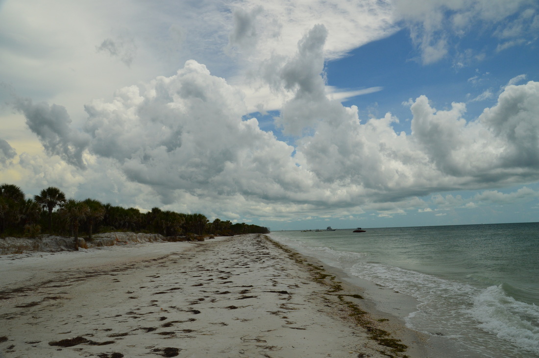
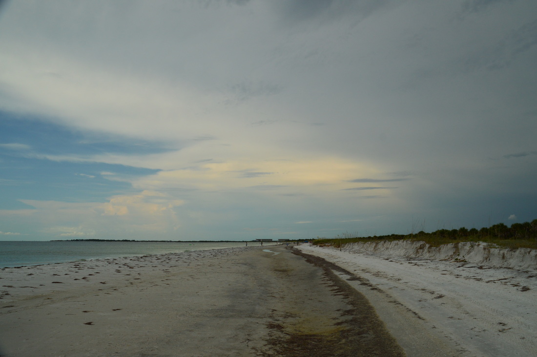
The Caladesi Island Beach
By the time you're at the beach, you will probably still have plenty of time left before your return time. Thus, before you wrap up the hike, You can stay on the beach for a bit and perhaps even go in the ocean for a cool-off after the hot hike. After you've taken a break, begin following the beach northward. Follow the beach northward for 0.6 miles, until you reach the second boardwalk to the right at the busiest section of the beach. This boardwalk leads back to the ranger station and the ferry terminal. Turn right onto the boardwalk. Reach the ranger station and ferry terminal at 3.9 miles, concluding the hike. Once you're back at the ferry terminal, board it at the given signal and ride back to Honeymoon Island.

This 4-mile hike wasn't quite enough to satisfy me for the day, so I completed another short hike on Honeymoon Island after this one. It will be described in the next trail report. Oh yeah - mercifully, there was less mosquitoes on Honeymoon Island! 

Mileage

0.0 - Caladesi Island Ferry Terminal 
1.0 - Four-way junction with Hammock Loop 
1.25 - Twin Pine
1.75 - Henry Scharrer homestead
2.25 - Freshwater pond 
2.65 - Reach four-way junction a second time
3.0 - Cat's Eye Pond 
3.1 - Caladesi Island Beach 
​3.9 - Caladesi Island Ferry Terminal

Variations

Return along the Island Trail instead of Beach Trail - 3.65 Miles

Bonus Stops

The Honeymoon Island trail system is an excellent add-on to this hike. I decided to hike it myself after doing the Caladesi Island hike. 

Pictures

Videos

2 Comments
Dan link
2/21/2017 04:03:54 pm

Wow, I just went in February and encountered exactly zero mosquitoes. I guess I picked the right time of year. I never saw anything about the homestead at all, and the trails towards the southern end became a little bit confusing. I missed cedar grove trail entirely and ended up on a service road for a ways before I realized I was going the wrong way. Everything around there was a restricted area!

Reply
John E. Killett link
5/28/2017 09:50:53 am

Hi Mark,

In researching the exact location (which the park service has all but hidden any reference to) of the Henry Scharrer Homestead Ruins on Caladesi Island, near Dunedin, Florida I came upon several blogs which referenced the location in rather vague terms, they were helpful in a general sense to the extent that they confirmed the existence of the ruins and provided an area of the island in which they may be found. Your blog entry on the subject was a breath of fresh air providing waypoint markings and detailed directions of exactly how to reach that particular site. Without your directions, based on what I had discovered earlier, I may have located the ruins but I might just as likely have stumbled around the island for the whole day (as it was most of the day was consumed by this mission) or more before doing so or been forced to ask a ranger which I didn’t want to do in the event the ruins had been placed off limits. Far too often guys in this hobby guard their information and finds with a zealousness on par with the search for the Holy Grail or as if there is a Midasesque prize for the person keeping the most information to themselves. Everyone knows there is a miniscule segment of miscreants in society who will disturb artifacts but that small fraction notwithstanding we all share a common goal of fascination and enjoyment and it is wonderful to encounter such precise attention to detail and a willingness to record and share. Thank you for your blog post, the waypoints and the very clearly delineated directions as well as your professionalism in sharing them. I was able to locate the site after having trekked up from Clearwater Beach, visit it, do a video and a photo album and leave in time to return before dark.

John E. Killett
“The Florida Explorer”

Reply


Leave a Reply.

    About Me

    Mark Oleg Ozboyd
    I'm an avid outdoor explorer and a hobbyist landscape photographer. I'm 21 years old and have been hiking since 2011. Originally based out of Atlanta, Georgia, I started out by occasionally hiking short trails throughout well-known Georgia State Parks. During 2012 and 2013, I began to expand my trips into adjacent states, as well as into the wilder National Forest areas rather than just State Parks. Throughout the years that followed, as I slowly ran out of popular hiking trails in my area, I began to search for and hike in more seldom-visited areas. Today, you can find me out in the woods every weekend, whether it's on an official trail or bushwhacking through cross-country terrain without any paths. I now attend Washington & Lee University and am exploring Virginia and West Virginia. My other hobbies include chess, science, old music, and meteorology. I have 3 years of amateur weather forecasting experience, having studied a lot of meteorology basics over the years. I am also a student at European School of Music where I learned that music and nature have a lot in common. Listening to good music inspires me to capture nature's beauty on the camera in different aspects that also make me recall many beautiful music pieces that I've heard.​


    Dear readers: I have invested a tremendous amount of time and effort in this website and the Georgia Waterfalls Database the past five years. All of the work that has gone in keeping these websites updated with my latest trip reports has almost been like a full-time job. This has not allowed me to pick up a paid job to save up money for college, and therefore, I I've had to take out loans. If you find the information on this website interesting, helpful, or time-saving, you can say "thanks" and help me out by clicking the button above and making a contribution. I will be very grateful for any amount of support you give, as all of it will apply toward my college tuition. Thank you! 

    Enter your email address to subscribe for trail reports:

    Delivered by FeedBurner


    Picture
    Coming in 2022-2023?

    Other Hiking Websites

    DWHike's Adventures
    Florida's Natural Wonders
    Florida Trailblazer
    Meanderthals
    Mountain Images
    by Bernie Boyer

    North Carolina Waterfalls with
    ​Kevin Adams
    Take-a-Hike!
    Tennessee Landforms
    Waterfall Page
    Waterfall Adventurer
    Zach's Mild Adventures

    Miles Hiked

    Year 1: 540.0 Miles
    Year 2: 552.3 Miles
    ​Year 3: 518.4 Miles
    Year 4: 482.4 Miles
    Year 5: 259.9 Miles

    Archives

    March 2021
    February 2021
    January 2021
    November 2019
    October 2019
    September 2019
    August 2019
    July 2019
    June 2019
    February 2019
    January 2019
    December 2018
    November 2018
    October 2018
    August 2018
    July 2018
    June 2018
    May 2018
    April 2018
    March 2018
    February 2018
    January 2018
    December 2017
    November 2017
    October 2017
    September 2017
    August 2017
    July 2017
    June 2017
    May 2017
    April 2017
    March 2017
    February 2017
    January 2017
    December 2016
    November 2016
    October 2016
    September 2016
    August 2016
    June 2016
    May 2016
    April 2016
    March 2016
    January 2016
    December 2015
    November 2015
    October 2015
    September 2015
    August 2015
    July 2015
    June 2015
    May 2015
    April 2015
    March 2015
    February 2015
    January 2015
    December 2014
    November 2014
    October 2014
    September 2014
    August 2014
    July 2014
    June 2014
    May 2014
    April 2014
    March 2014
    February 2014

    Categories

    All
    Adel
    Adirondack Park
    Alabama
    Alfred A. Ring Park
    Allegheny Trail
    Amicalola Falls State Park
    Anniston Area
    Apalachicola Bluffs And Ravines Preserve
    Apalachicola National Forest
    Apalachicola/Port St. Joe Area
    Apopka
    Appalachian Trail
    Appling
    Art Loeb Trail
    Aska Trail System
    Bakersville
    Balm-Boyette Scrub Preserve
    Balsam Lake Recreation Area
    Bankhead National Forest
    Bartow County Parks
    Bartram Trail
    Basinger
    Beersheba Springs
    Benton
    Benton Mackaye Trail
    Berry College Trail System
    Best Hike
    Big South Fork National Recreation Area
    Black Bear Wilderness
    Black Rock Mountain State Park
    Blairsville
    Blakely
    Blood Mountain Wilderness
    Blowing Rock
    Blue Ridge
    Blue Ridge Parkway
    Boone
    Bradenton
    Bradenton Beach
    Brasstown Bald
    Brasstown Wilderness
    Brevard
    Bryson City
    Buchanan
    Bucks Pocket State Park
    Bulow Creek State Park
    Bulow Plantation Ruins State Park
    Caesars Head State Park
    Caladesi Island State Park
    Calhoun
    Camel's Hump State Park
    Cashiers
    Caspersen Beach Park
    Catfish Creek State Park
    Caves
    CC Putnam State Forest
    Cedar Point Environmental Park
    Chatsworth
    Chattahoochee National Forest
    Chattanooga
    Chattanooga Valley
    Chattooga National Wild And Scenic River
    Cheaha Wilderness
    Cherohala Skyway
    Cherokee
    Cherokee National Forest
    Chiefland Area
    Chillhowee Recreation Area
    Chipley
    Chunky Gal Trail
    Circle B Bar Reserve
    Citico Creek Wilderness
    Citrus Wildlife Management Area
    Clarkesville
    Clayton
    Cleevland
    Cleveland
    Cloudland Canyon State Park
    Cohutta Wilderness
    Collier-Seminole State Park
    Cordele
    Cornelia
    Covington
    Crestview Area
    Crew-land-and-water-trust
    Cullowhee
    Cumberland Trail
    Dahlonega
    Dalton
    Dawson Forest Wildlife Management Area
    Dawsonville
    Dayton
    De Soto National Memorial
    DeSoto State Park
    Dillard
    Double Springs
    Ducktown
    Duncan Ridge Trail
    Dunlap
    Eagle's Rest Park
    Eastpoint
    Econfina Creek Wildife Management Area
    Eglin Air Force Base
    Elizabethton
    Elkins
    Elk Knob Game Lands
    Elk Park
    Ellicott Rock Wilderness
    Ellijay
    Emerson Point Preserve
    Englewood Area
    Enota Retreat
    Erwin
    Falling Waters State Park
    Fayetteville
    Fires Creek Recreation Area
    Fire Tower
    Flint River
    Florence Area
    Florida
    Florida Caverns State Park
    Florida Trail
    Foothills Trail
    Fort Mountain State Park
    Fort Myers Area
    Fort Payne
    Fort Payne Area
    Fort Yargo State Park
    Franklin
    Franklin Delano Roosevelt State Park
    Franklin-Marion State Forest
    Frozen Head State Park
    Gainesville
    Gainesville Area
    Gatlinburg
    George Washington National Forest
    Georgia
    Georgia Veterans Memorial State Park
    Glasgow
    Gorges State Park
    Grandfather Mountain State Park
    Great Smoky Mountains National Park
    Greeneville
    Green River Game Lands
    Gruetli-Laager
    Grundy Forest State Natural Area
    GTM Reserve
    Guana River Wildlife Management Area
    Hayesville
    Helen
    Hiawassee
    High Falls State Park
    Highlands
    Highlands Scenic Highway
    Hillsborough River State Park
    Hinson Conservation & Recreation Area
    Historic Sites
    Honeymoon Island State Park
    Hot Springs
    Huntington
    Inverness Area
    Jackson
    Jasper
    Jefferson National Forest
    Joan M. Durante Park
    Jonathan Dickinson State Park
    Jones Gap State Park
    Joyce Kilmer Slickrock Wilderness
    Joyce Kilmer - Slickrock Wilderness
    Juniper Prairie Wilderness
    Kelly Park
    Keown Falls Recreation Area
    Kolomoki Mounds State Park
    LaFayette
    Lake City Area
    Lake George Wild Forest
    Lake June-in-Winter State Park
    Lakeland Area
    Lake Placid
    Lake Russell Wildlife Management Area
    Lake Wales Ridge State Forest
    Laurel Fork North Wilderness
    Leffis Key Preserve
    Leon Sinks Geological Area
    Lexington
    Lineville
    Linville
    Linville Gorge Wilderness
    Lithia Springs
    Little Frog Wilderness
    Little Manatee River State Park
    Little River Canyon National Preserve
    Longboat Key
    Long Trail
    Lookout Mountain
    Lookout Mountain Battlefield
    Lovingston
    Lula Lake Land Trust
    Lumpkin
    Maggie Valley
    Manatee Springs State Park
    Marianna Area
    Mark Trail Wilderness
    Marlinton
    Mccaysville
    McMinville
    Mentone
    Middlesex
    Mistletoe State Park
    Monongahela National Forest
    Montreat
    Mountain Bridge Wilderness Area
    Mountain City
    Mountains To Sea Trail
    Mountains-to-Sea Trail
    Mount Rogers National Recreation Area
    Myakka River State Park
    Myron B. Hodge City Park
    Nantahala National Forest
    Naples
    Naples Area
    Natural Bridge State Park
    Neal Preserve
    New Castle
    Newport
    New River Gorge National Park
    New York
    North Carolina
    Ocala Area
    Ocala National Forest
    Ocean-to-Lake Trail
    Oconee State Park
    Oconee Station Historic Site
    Okaloacoochee Slough State Forest
    Oldsmar
    Oneida
    Orlando Area
    Ormond Beach
    Oscar Scherer State Park
    Oxford
    Palatka
    Palmetto Trail
    Panama City Area
    Panthertown Valley
    Parrish
    Paynes Creek Historic State Park
    Peaks Of Otter Recreation Area
    Pigeon Crockford Mountain Wildlife Management Area
    Pigeon-Crockford Mountain Wildlife Management Area
    Pigeon-Crockford Wildlife Management Area
    Pine Mountain
    Pinhoti Trail
    Pinnacle Park
    Pisgah Civitan Park
    Pisgah National Forest
    Pittman Center
    Pond Mountain Wilderness
    Ponds/Lakes
    Prentice Cooper State Forest
    Providence Canyon State Park
    Pumpkintown
    Quick Point Nature Preserve
    Raven Cliffs Wilderness
    Reed Bingham State Park
    Reliance
    Rice Creek Conservation Area
    Riverview Pointe Preserve
    Robbinsville
    Robinson Preserve
    Rock Creek Gorge Scenic Area
    Rock Island State Park
    Rome
    Rosman
    Sale Creek
    Salem
    Salt Springs
    Saluda
    Santa Rosa Beach
    Sarasota
    Sarasota Area
    Savage Gulf State Natural Area
    Scenic Views
    Scottsboro Area
    Sebring Area
    Sewanee
    Sheltowee Trace Trail
    Shining Rock Wilderness
    Signal Mountain
    Sipsey Wilderness
    Sky Valley
    Smithgall Woods State Park
    Snowbird Backcountry Area
    Soddy Daisy
    Soddy-Daisy
    Sopchoppy
    South Carolina
    South Cumberland State Park
    Southeastern Cave Conservancy
    Southern Nantahala Wilderness
    Sparta
    Sprewell Bluff Park
    Spring City
    Spring Hill
    Springs
    Spruce Pine
    Standing Indian Backcountry Area
    St. Augustine
    St. George Island State Park
    St. Joseph Bay State Buffer Preserve
    St. Marks Area
    St. Marks National Wildlife Refuge
    Stone Mountain
    Stone Mountain Park
    Suches
    Sumatra
    Sumter National Forest
    Suwannee River
    Swallow Creek Wildlife Management Area
    Sweetwater Creek State Park
    Sylva
    Talladega National Forest
    Tallahassee Area
    Tallulah Falls
    Tallulah Gorge State Park
    Tampa Bay Area
    Tate City
    Tate's Hell State Forest
    Tea Creek Wildlife Management Area
    Tellico Plains
    Tennessee
    Thomaston
    Toccoa
    Topsail Hill State Park
    Torreya State Park
    Townsend
    Tracy City
    Tray Mountain Wilderness
    Trenton
    Triple Creek Preserve
    Troutdale
    Unaka Mountain Wilderness
    Upper Tampa Bay County Park
    Venice
    Vermont
    Virgin Falls State Natural Area
    Virginia
    Virginia Outdoors Foundation
    Vogel State Park
    Wakulla Springs State Park
    Waleska
    Walhalla
    Wartburg
    Water Features
    Waynesville
    Weedon Island Preserve
    Weeki Wachee Preserve
    Wekiwa Springs State Park
    West Palm Beach Area
    West Virginia
    Whitehall
    White Springs
    Winder
    Withlacoochee State Forest
    Young Harris

    RSS Feed

TRAIL REPORTS

Hikes in Alabama
​Hikes in Florida
Hikes in Georgia
Hikes in North Carolina
Hikes in South Carolina
Hikes in Tennessee
Hikes in Virginia

Hiking Resources

Alabama Resources
​
Florida Resources
Georgia Resources
North Carolina Resources
​South Carolina Resources
​
Tennessee Resources

Other

Contact
Map of Hikes
Alphabetical List of Hikes
Southeast Nature Society
© COPYRIGHT 2014-2018
​ALL RIGHTS RESERVED.
Important: I disclaim any responsibility for any damage or personal injury that may occur as a result of the activities and information found on this website. All outdoor activities, especially off-trail hiking, are done at your own risk. Never hike or head into that area that may be above your fitness or experience level.
  • Home
  • Trail Reports
    • Best Hikes
    • Hikes with Scenic Views
    • Hikes with Water Features
    • Alabama
    • Georgia
    • Florida
    • North Carolina
    • South Carolina
    • Tennessee
    • Vermont
    • Virginia
  • Map
  • Hike List
  • Testimonials
  • Resources
  • Contact Us
  • Southeast Nature Society
    • Our Team
  • Georgia Waterfalls Database