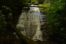
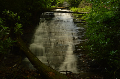
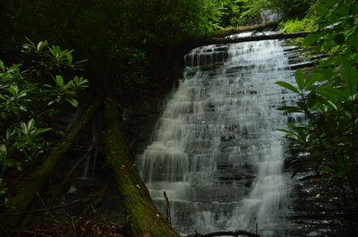
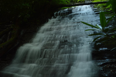
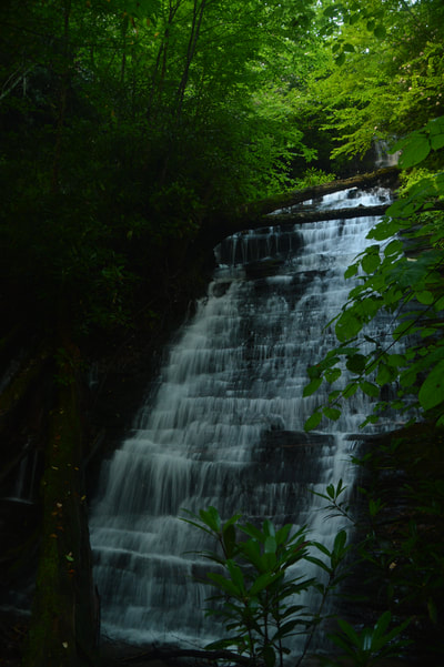
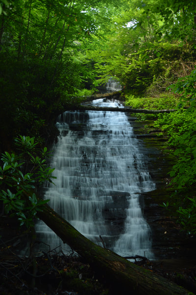
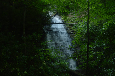
Buckeye Cove Falls is one of a handful of waterfalls in the Swallow Creek Wildlife Management Area near Hiawassee. About 80 feet high, this picturesque stairstep waterfall is easy to reach via a short hike, but it is located far enough in the middle of nowhere that you're not likely to find someone else at the waterfall. The lush green setting of Buckeye Cove Falls makes it appealing to waterfall enthusiasts and photographers during the warmer months. The falls is located in a very small watershed though, so it is best to visit during late spring or early summer. This hike occurred on Saturday, June 24th, 2017. My plan was to hike the unofficial path from the end of Swallow Creek Road out and back to Buckeye Cove Falls.
Summary
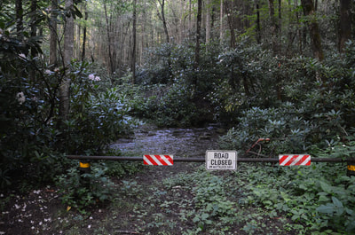
Note: Forest Service Road 99 (Swallow Creek Road), which is used to access the trailhead, is a seasonally-gated road. The road is closed to all vehicles from January 2nd until March 1st starting at the gate at the first ford of Swallow Creek.
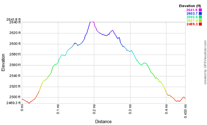
R/T Length of Trail: 0.5 Miles
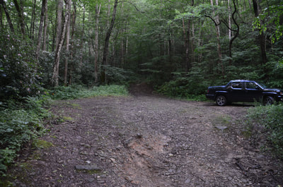
Duration of Hike: 0:50 Type of Hike: Out and Back Difficulty Rating: 2 out of 10 Total Elevation Gain: 154 Feet Pros: Fairly clear and easy trail to the falls Cons: A wet ford at the beginning of the hike doesn't make it ideal for some types of novice hikers Points of Interest: Buckeye Cove Falls - 7 stars Trail Blaze Colors: None, not an official trail Best Seasons to Hike: Spring Fees: None Beginning Point: End of Swallow Creek Road Directions from Hiawassee, GA: From the intersection of Main Street (US 76/GA 17/75) and Bell Street in downtown Hiawassee, follow Main Street South (US 76 East/GA 17/15 South) for 4.8 miles. Then, turn right onto Swallow Creek Road and continue for 1.8 miles to a confusing intersection where the pavement ends. With two roads going right and one road going left, continue straight (bearing left slightly) onto the unpaved extension of Swallow Creek Road, now FS Road 99. Even though the road looks like a driveway, as it passes very close to a house, it is not. Continue for 1.6 miles to the end of FS 99 at a turnaround and parking area, with a gate on the left and a blocked-off ATV path going straight. There are three vehicle fords of Swallow Creek along the road. For this reason, a high-clearance vehicle is recommended for the road, but if the water levels are around normal, then at least some regular passenger vehicles should be able to make it. The last few feet of the road are steep and a bit rough, but it is not a serious obstacle. Map
Click here to download a track of this hike.
Details
You probably noticed that in the title I used two names for this beautiful waterfall. That is because it is sometimes called Fall Branch Falls instead of Buckeye Cove Falls, but the name doesn't seem to be correct. The name Fall Branch Falls appears in Mark Morrison's book Waterfall Walks and Drives of Georgia, Alabama, and Tennessee, as well as at a few online sources. However, the waterfall is not on Fall Branch itself. It is on an unnamed tributary of Fall Branch (although one could say that the tributary is the 'west fork' of Fall Branch) that comes out of Buckeye Cove. For this reason, the name Buckeye Cove Falls - which I have seen publicized too - is more logical than the name Fall Branch Falls. Be prepared to see both names in reference to this waterfall though.
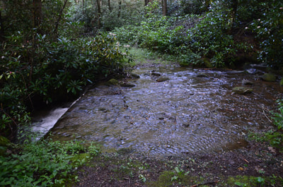
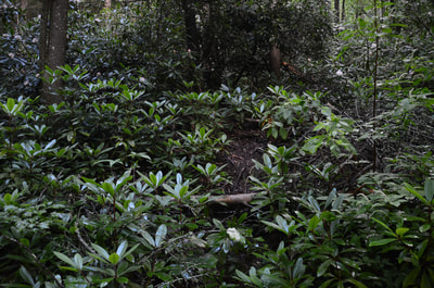
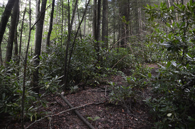
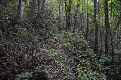
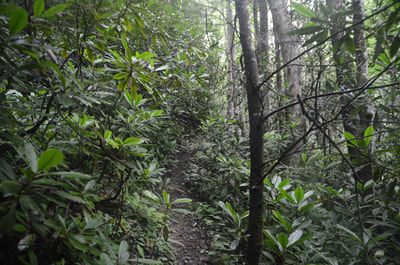
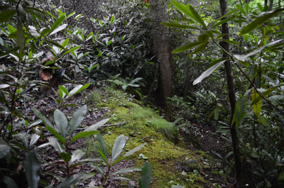
The hike to Buckeye Cove Falls begins on the broad forest road behind the gate at the left (east) end of the turnaround at the end of Swallow Creek Road. At the start, there is a crossing of Fall Branch that is wet but shallow and easy most of the year. A few yards after the crossing, before the road fords Swallow Creek, look closely for a somewhat steep and narrow path that heads right in the upstream direction through a gap in the rhododendron. The path is not right alongside of Fall Branch and it is easy to miss, so pay attention. Once on the path, you'll begin ascending moderately, shortly joining an old logging road. The rising trail is generally obvious and easy to follow, although there are a few slightly overgrown places and a couple blowdowns. Around or just past 0.2 miles, the path along the old logging road is blocked by a large pine tree laying on the road. Meanwhile, you should bear right off the old road and down the steep but distinct path to the falls. The path continues for a couple hundred feet to the base of Buckeye Cove Falls, ending at the falls at 0.25 miles. With enough water, Buckeye Cove Falls is an impressive and interesting waterfall. The total height of the waterfall is about 80 feet, although the main tier is 60 feet (and there is a small 20-foot upper drop that is barely visible). All the miniature ledges on the cliff give this waterfall a cascading stairstep structure, which makes it particularly appealing. In spring and summer, the setting of the falls is very lush and picturesque. It is important to visit this waterfall during a wet period though, as its watershed is very small. It isn't immediately obvious that the falls is not on Fall Branch, but if you look closely, you'll see Fall Branch actually coming out of the rhododendron to the left of the falls. There is actually a small but photogenic waterfall just upstream on Fall Branch itself. I haven't been to it, but it is very close and a picture of it is located at the end of this page. From Buckeye Cove Falls, simply return along the same way back to the trailhead, concluding this easy and rewarding hike at 0.5 miles. Mileage
0.0 - End of Swallow Creek Road
0.2 - Stay Right on Steep Path 0.25 - Buckeye Cove Falls 0.5 - End of Swallow Creek Road Variations
None
Bonus Stops
Nearby Mill Creek Falls, also in Swallow Creek Wildlife Management Area, makes for another nice and easy waterfall hike.
PicturesVideos
4 Comments
Clint Garner
7/20/2017 03:27:18 pm
Hi Mark,
Reply
Mark Oleg
12/18/2017 12:24:42 am
Hello Clint,
Reply
Bill Solomon
12/17/2017 10:58:42 pm
Mark,
Reply
Mark Oleg
12/18/2017 12:22:13 am
Bill,
Reply
Leave a Reply. |
About MeMark Oleg Ozboyd Dear readers: I have invested a tremendous amount of time and effort in this website and the Georgia Waterfalls Database the past five years. All of the work that has gone in keeping these websites updated with my latest trip reports has almost been like a full-time job. This has not allowed me to pick up a paid job to save up money for college, and therefore, I I've had to take out loans. If you find the information on this website interesting, helpful, or time-saving, you can say "thanks" and help me out by clicking the button above and making a contribution. I will be very grateful for any amount of support you give, as all of it will apply toward my college tuition. Thank you!
Coming in 2022-2023?
Other Hiking WebsitesMiles HikedYear 1: 540.0 Miles
Year 2: 552.3 Miles Year 3: 518.4 Miles Year 4: 482.4 Miles Year 5: 259.9 Miles Archives
March 2021
Categories
All
|


 RSS Feed