Ellison's Cave is one of the most famous caves in the US, and for good reason: the cave has the deepest unobstructed underground pitch - the Fantastic Pit - in continental US. While navigating through the over 12-mile long cave requires serious training, skills, and lots of caving equipment, the entrance to the cave can simply be viewed from a hiking trail. Ellison's Cave is just one of Pigeon Mountain's many unique highlights. Another such highlight is the Estelle Mines and Tunnels. Iron ore was mined on the northwestern side of the base of Pigeon Mountain and was transported by rail through six tunnels to the former mining town of Estelle. Operations at the site ceased in 1924, and today, all that remains are some ruins of the town of Estelle and the railroad tunnels. While some of the tunnels have caved in, others are intact and can even be walked through. On this hike, you'll visit both Ellison's Cave and the Estelle Mines, each of which would be a worthwhile destination even by itself. This hike occurred on Saturday, January 14th, 2017. My plan was to hike the Blue Hole Trail from Blue Hole past both the dug entrance and historic entrance of Ellison's Cave to the top of Pigeon Mountain. From there, I would hike the Estelle Mines Loop (a combination of Pocket Trail, Estelle Mines Trail, Bluebird Gap Shortcut, and Bluff Trail) clockwise, passing Pocket Falls and all of the Estelle Mines railroad tunnels.
Summary
R/T Length of Trail: 12.3 Miles
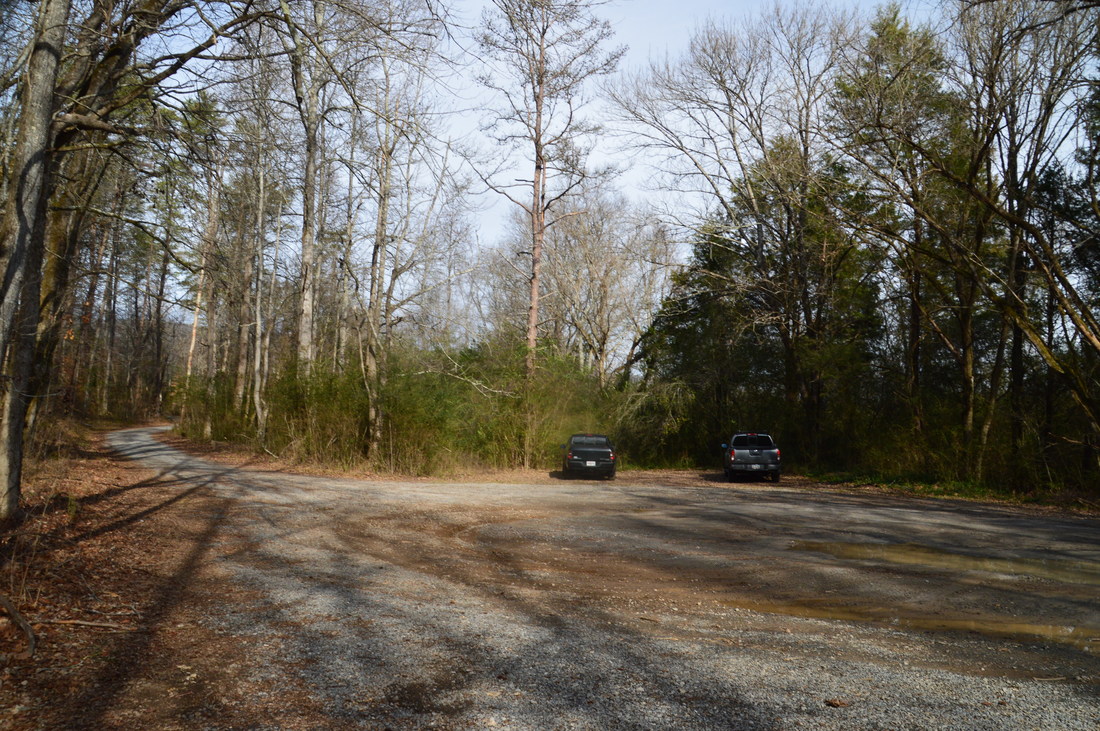
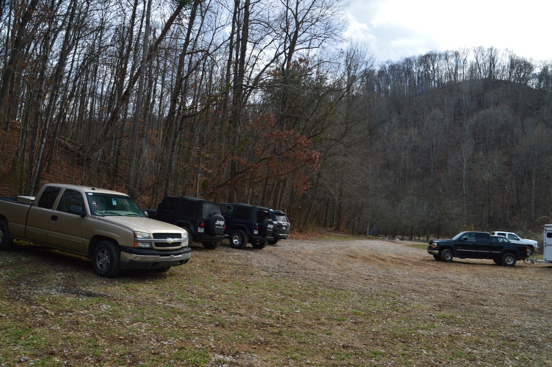
Duration of Hike: 8:00 Type of Hike: Lasso Difficulty Rating: 7 out of 10 Total Elevation Gain: 2648 Feet Pros: It is still possible to walk through some of the old tunnels Cons: Portions of the hike are on faint and hard-to-find trails; it is not possible to enter Ellison's Cave without great experience and special caving equipment Points of Interest: Blue Hole; Ellison's Cave Entrances; Pocket Falls - 2 stars; Estelle Mine Tunnels Trail Blaze Colors: Blue Hole Trail - None; Pocket Trail - Blue; Estelle Mines Trail - Orange; Bluebird Gap Shortcut - Dark Green; Bluff Trail - White Best Seasons to Hike: Year-round (water levels at Pocket Falls are best in winter and spring) Fees: To hike in Pigeon-Crockford Mountain Wildlife Management Area, a GORP pass is required for most people. This pass can only be obtained online or through the phone. The 3-day pass for one person costs $3.50, the annual pass for one person costs $19, the 3-day pass for up to eight people costs $10, and the annual pass for up to eight people costs $35. People who are under 16 years old or over 65 years old do not need this pass. Learn more about this pass and how to get it at www.georgiawildlife.com/Georgia-Outdoor-Recreational-Pass. Beginning Point: Blue Hole Trailhead Directions from LaFayette, GA: From the intersection of US 27 Business (South Main Street) and GA 193 (West Main Street) in downtown LaFayette, follow GA 193 North for 3.6 miles. Then, turn left onto Blue Hole Road. Immediately (a hundred feet or so from GA 193), turn left again to continue on Blue Hole Road (the road ahead leads to a quarry). Pass through the normally open gate and continue on Blue Hole Road for 1.7 miles to a turnaround and parking area at the end of the road. This is where the hike begins, at Blue Hole. Map
Click here for more information and to download this trail map to view in Garmin Basecamp.
Details
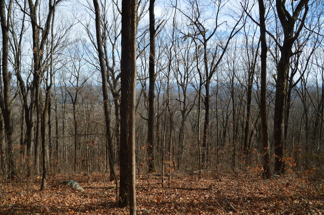
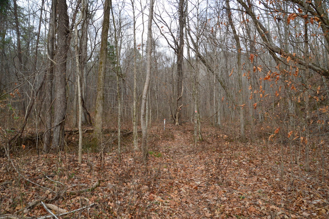
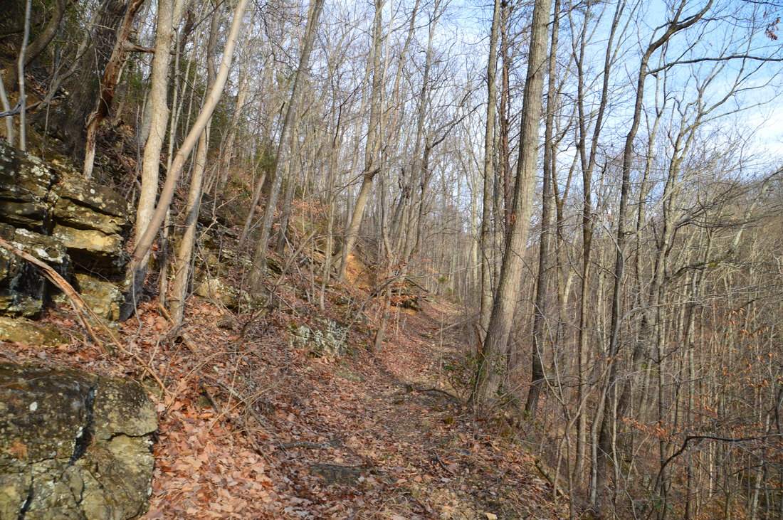
The Blue Hole Trailhead is one of the more obscure trailheads near Pigeon Mountain. It is a mystery as to why the Blue Hole Trail is being kept as such a secret. It appears to be an official trail, but it is not shown on any maps, and there are few online references about it. The only reason that comes to mind is that the public does not want too many people to find out the location of Ellison's Cave, which is right on the Blue Hole Trail.
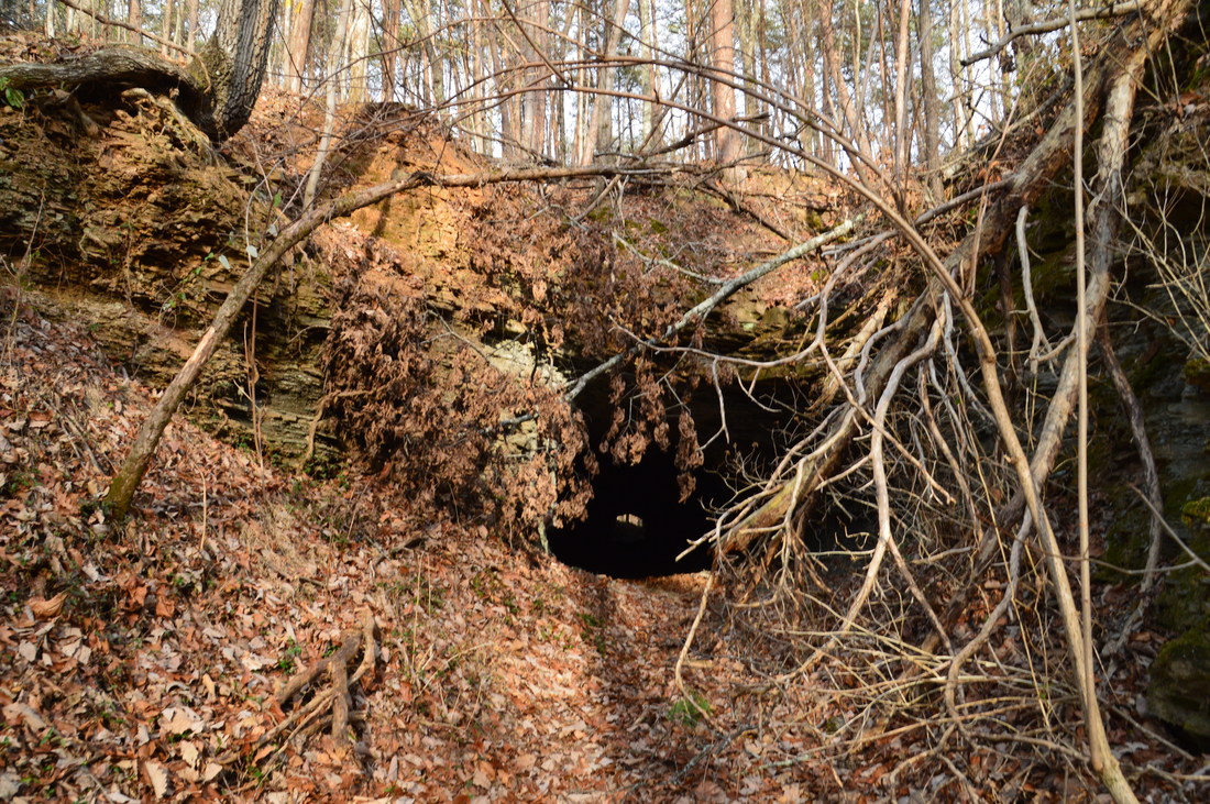
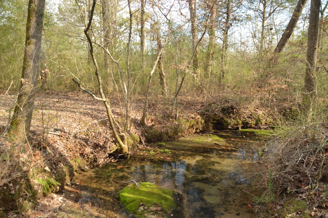
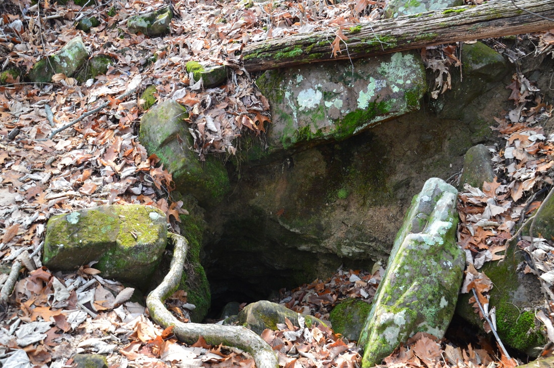
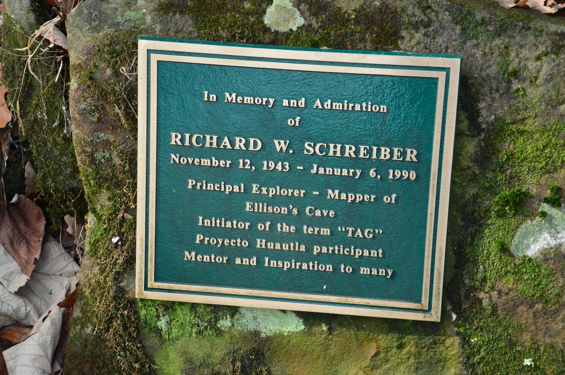
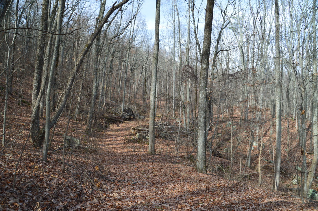
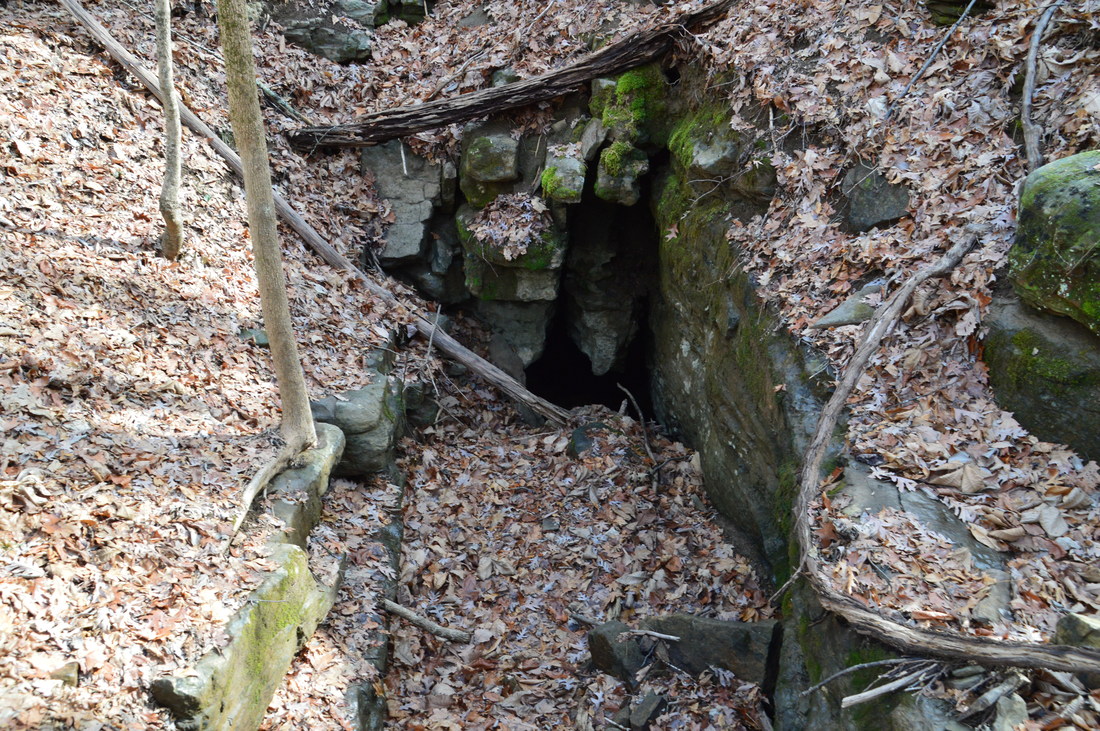
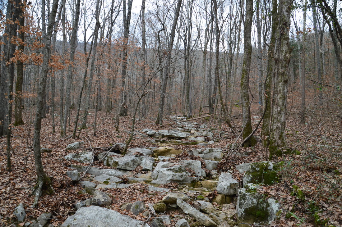
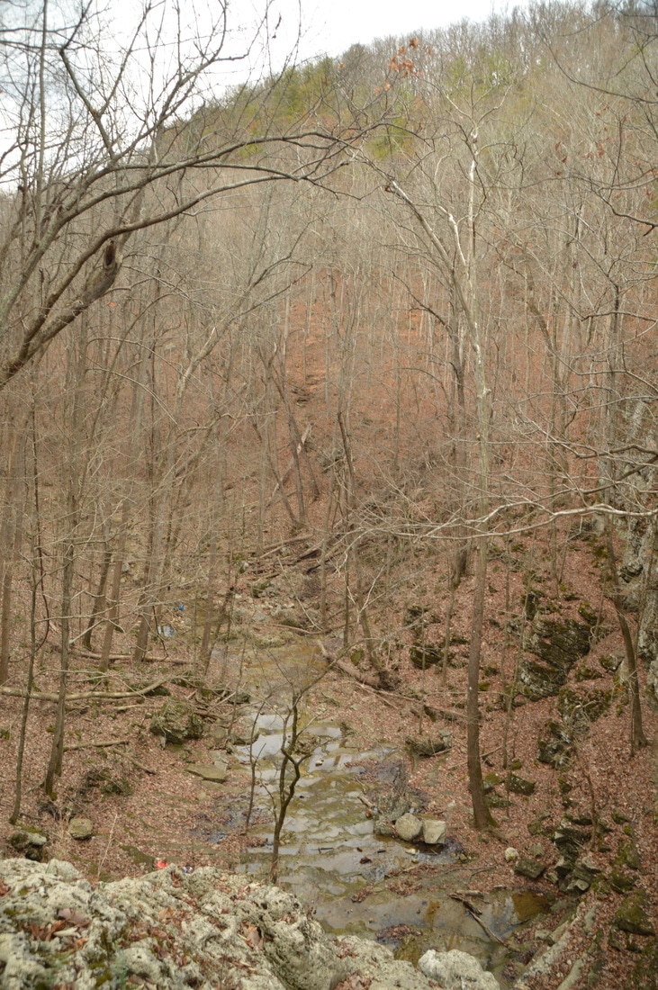
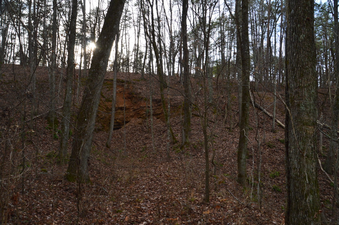
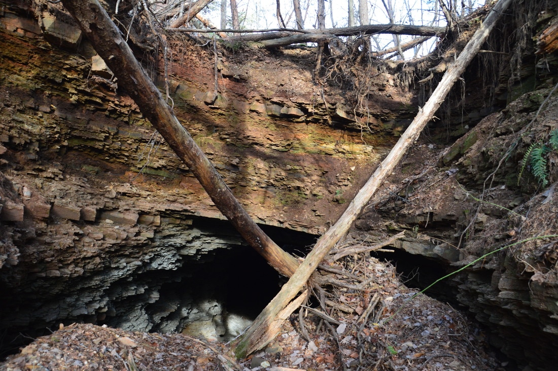
The parking area is within viewing distance of Blue Hole. Blue Hole is a beautiful spring-fed pool with clear, blue waters. There are two trails that begin at Blue Hole. The more obvious trail crosses the spring outflow via a footbridge and then continues as a wide path out of sight. This path leads to a dove field and is not the Blue Hole Trail. The Blue Hole Trail begins up the steep hill to the right of the Blue Hole. In other words, to reach the start of the Blue Hole Trail, do not cross the footbridge. The trail begins by passing between a pair of parts of fallen trees (that were sawed apart). After initially picking up an old roadbed, the trail turns left off the roadbed at a sign with an arrow at 0.3 miles and begins to climb in earnest. Between Blue Hole and the Pocket Trail/Bluff Trail junction near the top of the mountain, you will climb over 1000 feet in less than 2 miles! There are two switchbacks that help a little bit, but in general, the ascent is very steep until the main entrance to Ellison's Cave. At 0.4 miles, the trail crosses an old fire road that is another way to the top of the mountain. In fact, after Ellison's Cave, the trail will join this old road. As you ascend, winter views to the east gradually improve. At 1.05 miles, there is a small cave opening right next to the trail. The cave shaft is very small and looks nearly vertical. the trail passes around the small cave. After ascending up a hill, the Blue Hole Trail reaches the main entrance to Ellison's Cave at 1.1 miles. A commemorating plaque stands near the entrance to the cave. 
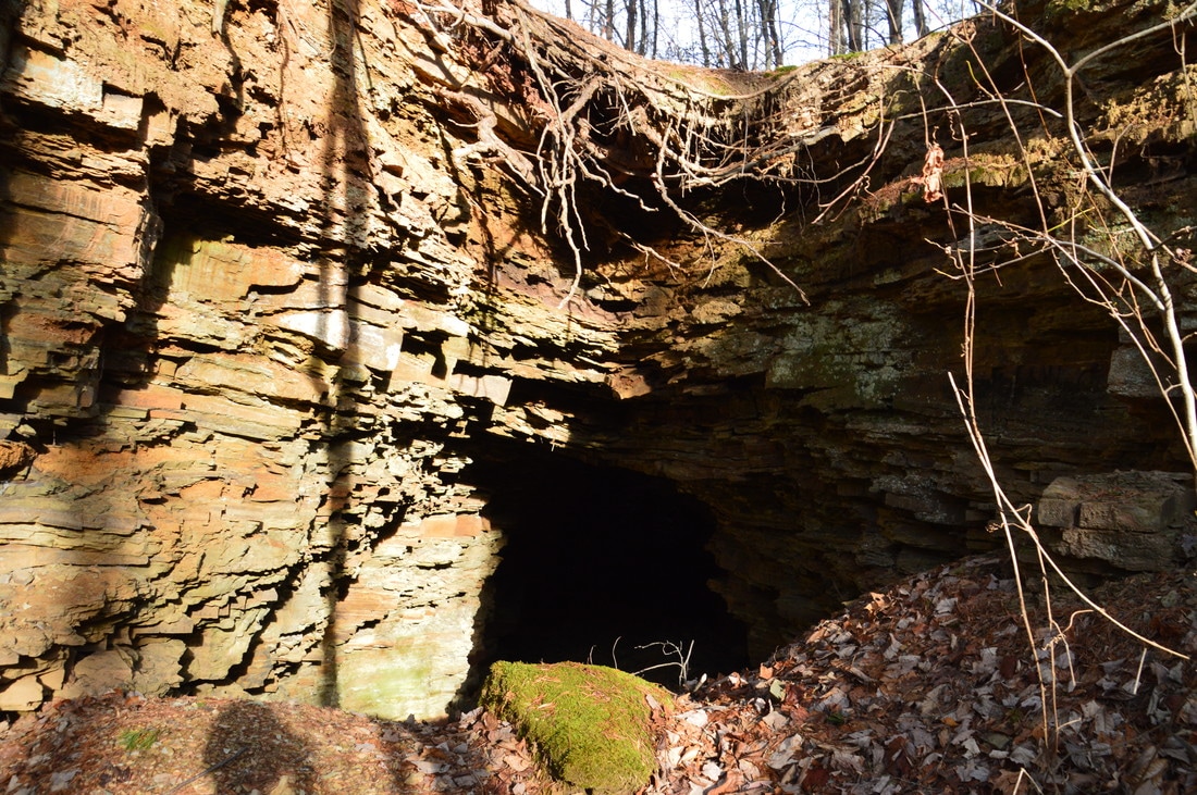
The entrance to Ellison's Cave, one of the largest caves in the US, is right on the Blue Hole Trail.
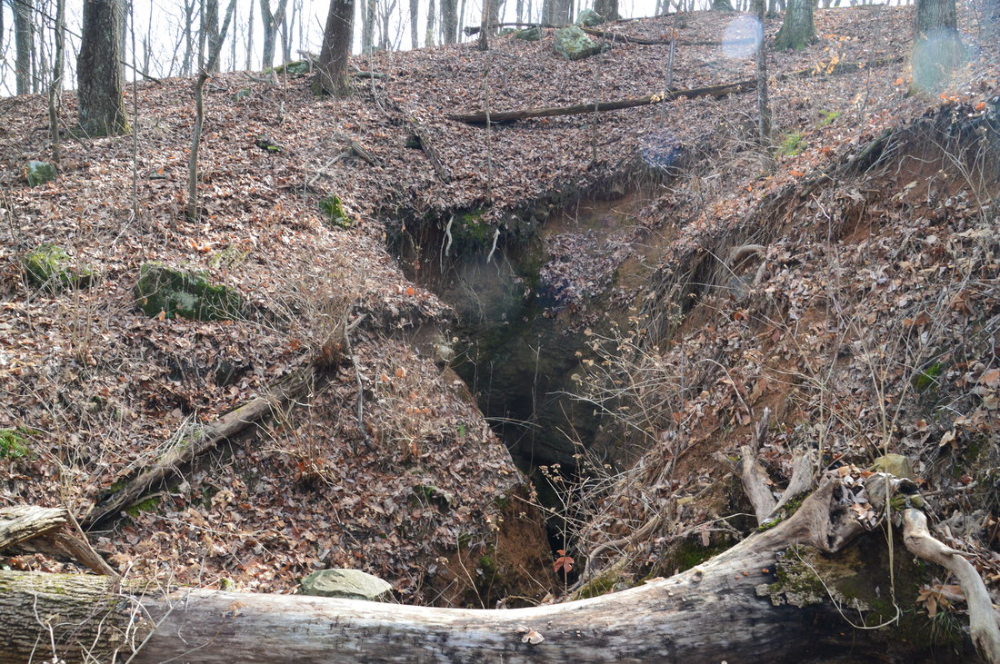
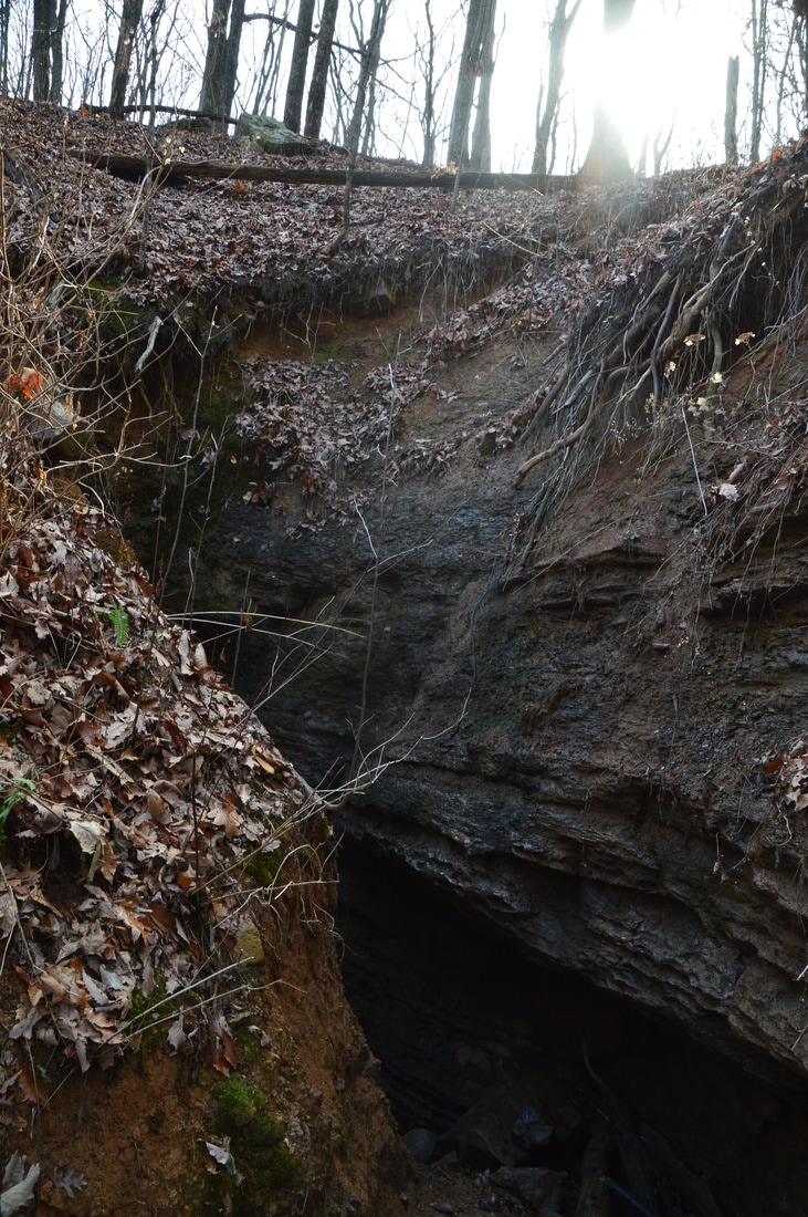
The entrance to Ellison's Cave originally was higher up the mountain. It is also along this trail. However, that entrance became blocked, so a new entrance was dug out, and that is the entrance that you see now. Ellison's Cave, which is a solution cave, is over 12 miles long and 1000 feet deep, making it the 12th deepest cave in the US. Two of the most notable pits in the cave are the Fantastic Pit (586 feet deep) and the Incredible Pit (440 feet deep). There are several other very deep pits in the cave. In fact, the Fantastic Pit is the deepest underground cave pit that is unobstructed in the entire continental United States! Once again, please understand that Ellison's Cave is a cave only for very experienced cavers who have a great skill-set and necessary gear. People lacking those elements must not try to enter Ellison's Cave under any circumstances. There is another entrance to cave, that is the more direct approach to the Incredible Pit. This entrance to the cave is on the west side of Pigeon Mountain closer to High Point; I will attempt to find it in the future, so keep an eye out for my hike to it.
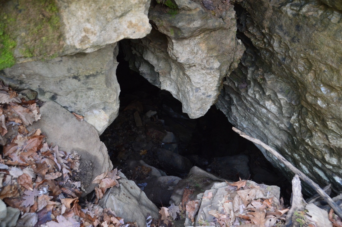
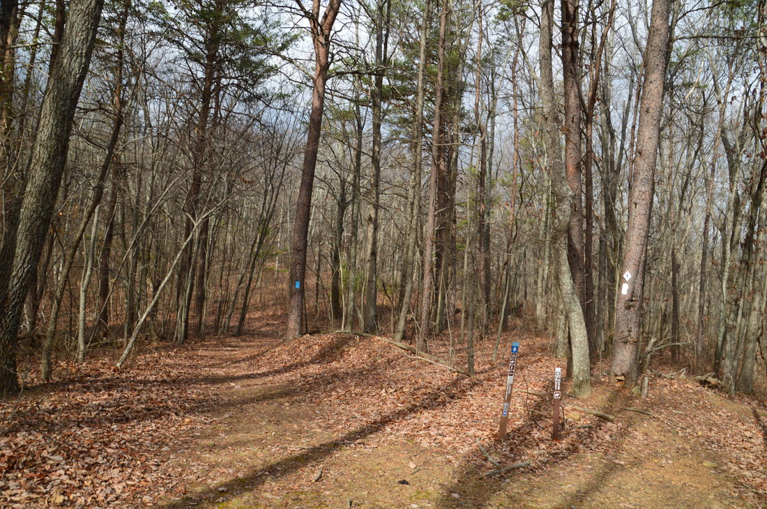
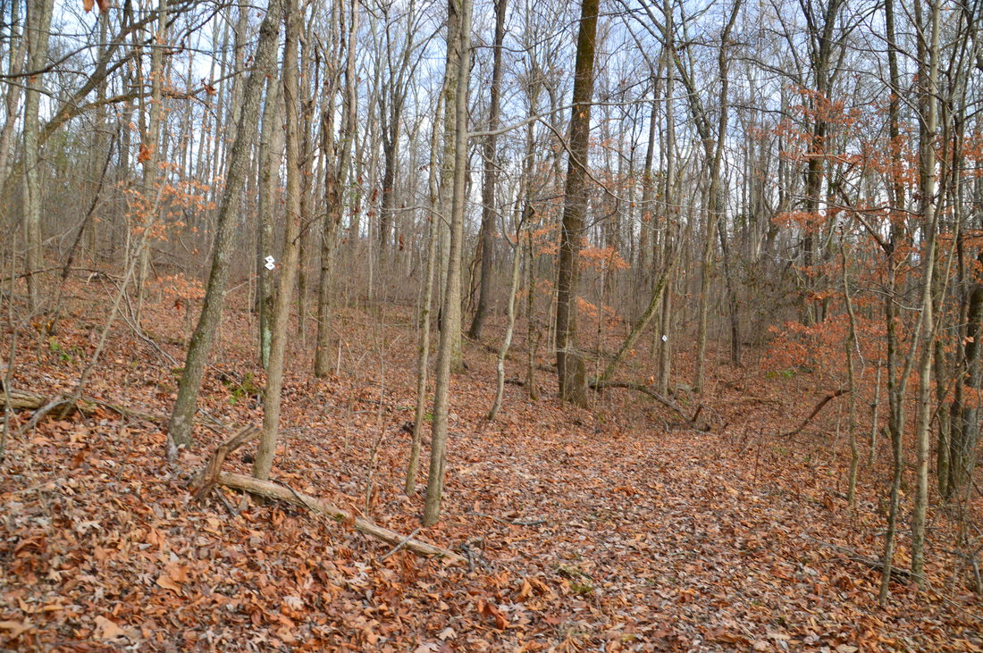
From Ellison's Cave, the Blue Hole Trail is less distinct. The trail ascends the steep slope to the left of the cave entrance (just before the cave, if coming from the bottom). At 1.15 miles, the Blue Hole Trail reaches the old fire road that was intersected earlier. The worst of the ascent is over. To continue to the top of the mountain, turn right onto the forest road. The forest road continues a much gentler ascent, with one final steep pitch toward the end. At 1.7 miles, reach the historic entrance to Ellison's Cave. Somewhere inside, the passage into the cave is blocked by stones now. From the outside, however, the opening in the ground still looks like the entrance to a cave. Beyond the historic entrance, the old fire road steeply ascends to the top of the mountain. The road reaches the top at 1.9 miles, where there is an intersection with the Pocket Trail and the Bluff Trail. The Pocket Trail heads both left and right; it is actually a loop trail. To the left, it leads to High Point and eventually The Pocket, while to the right, it uses a more direct route to The Pocket. I have hiked The Pocket Loop to High Point before. The Bluff Trail also heads both left and right. To the left, it runs in conjunction with the Pocket Trail for some time, while to the right, it leaves more acutely in the direction of Bluebird Gap. My plan was to loop the north side of the Pocket Trail and the northbound Bluff Trail, along with two other trails, to return to this spot later in the day. 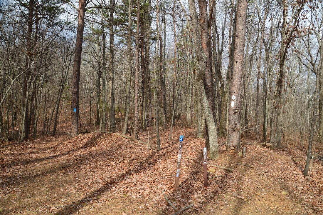
At the top of Pigeon Mountain, Blue Hole Trail meets two other trails that are part of the mountain's vast trail system: Pocket Trail and Bluff Trail.
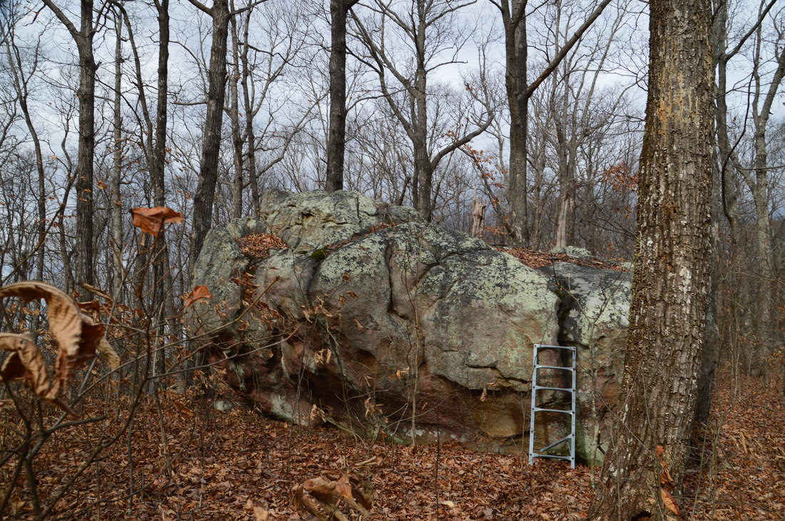
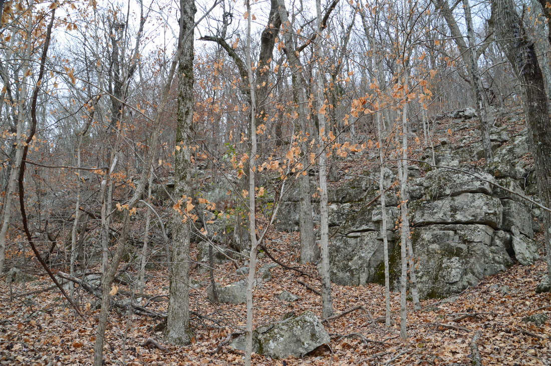
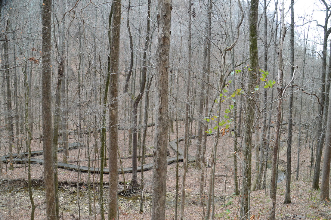
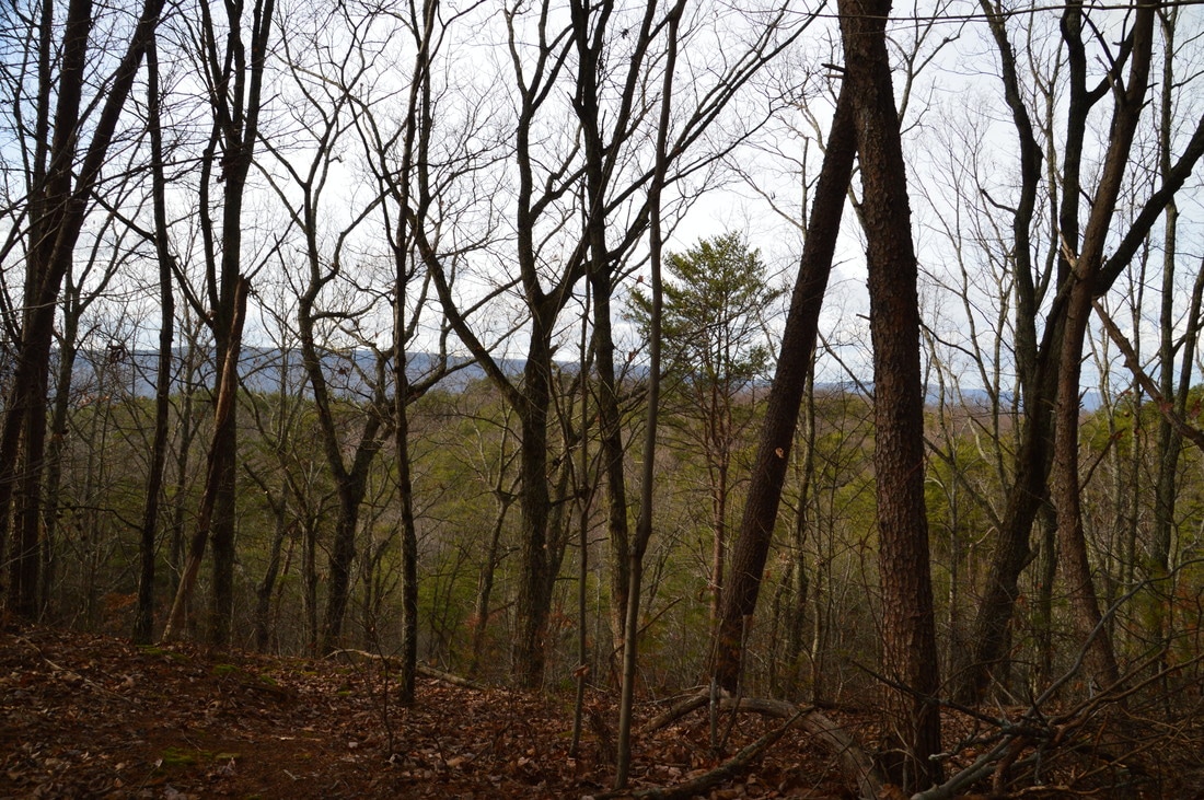
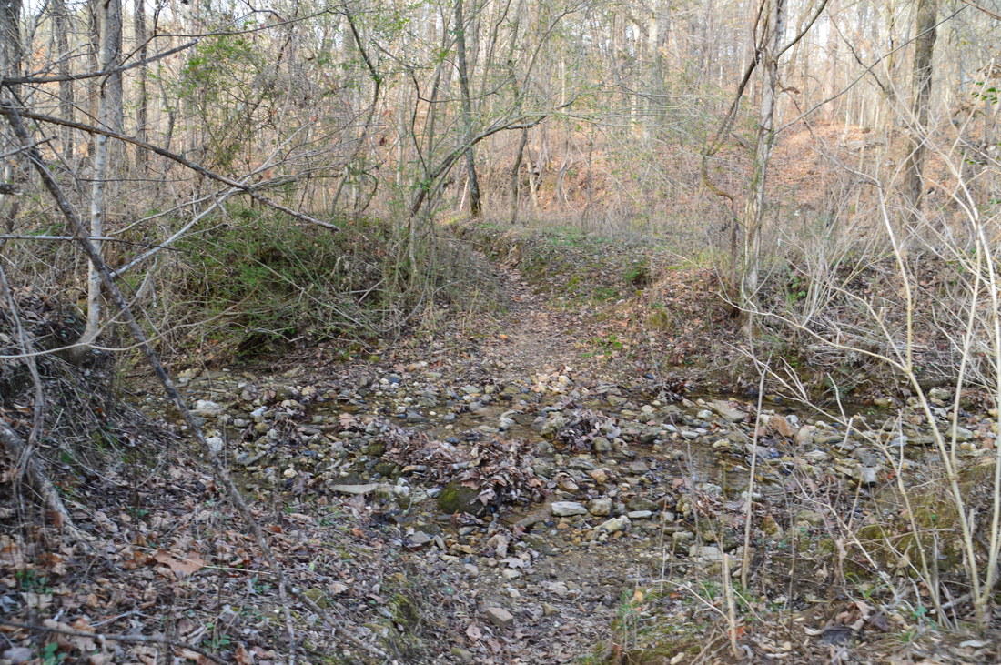
To hike the loop clockwise, like I did, turn right onto the blue-blazed Pocket Trail. This trail makes a short and very gradual ascent to a small knob. At 2.2 miles, there is a large boulder to the left that looks out of place. A ladder leaning next to the rock might provide a way to the top for folks who are seeking an adventure. The highest point on the hike, at about 2130 feet, is reached at 2.3 miles, and the Pocket Trail begins descending soon afterwards. I found the trail to be marked and blazed much better than it was when I hiked it in 2014. The descent is not as steep as much of the Blue Hole Trail is, but it is occasionally rocky and there are some blowdowns. Along the descent, there are great winter views to the west into McLemore Cove. You will also be able to see High Point rising up ahead. As the trail descends, you will notice several boulder fields and cliffs to the left. At 4.1 miles, the trail crosses an intermittent stream that appears to be one of the branches of Pocket Branch, although on this day, there was no water to be found here. After this, the trail descends more steeply. At 4.45 miles, the trail turns to the right onto a narrow path and off the old roadbed that it has been following for some time. When I hiked this trail in 2014, I missed the turn and found myself in a mess characterized by blowdown after blowdown and very uneven footing. Since then, this turn has been blazed well.
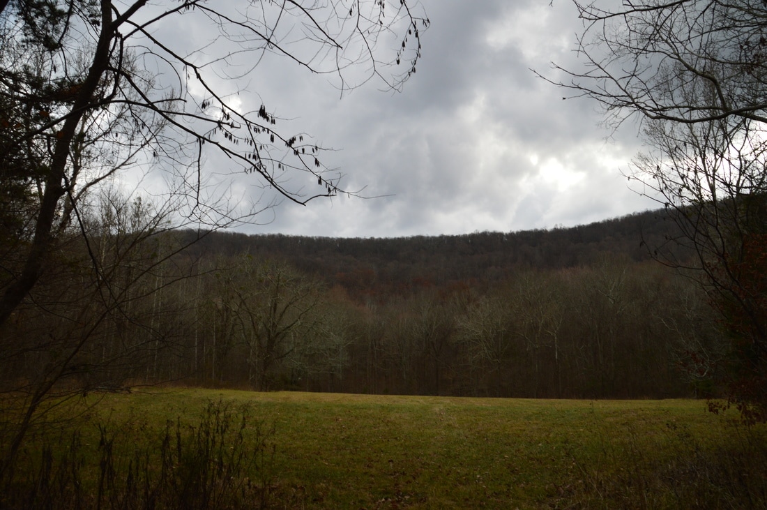
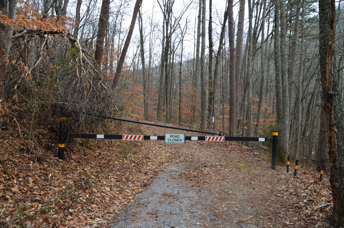
Several switchbacks bring the trail to the rocky streambed of Pocket Branch. Most of the time, the streambed has little to no water here, although after heavy rainfall, I think that it could be quite a sight. Crossing the streambed, the trail enters a grassy wildlife clearing at 4.7 miles. The clearing provides views back toward Pigeon Mountain and High Point. At 4.75 miles, the trail rejoins the old roadbed that it left earlier. To the right is a small pond, and to the left is a spring that accounts for much of the water in Pocket Branch. At 5.0 miles, the trail enters another wildlife clearing, where there is an intersection with the other side of the Pocket Loop Trail. Here, the Pocket Loop Trail leaves left toward High Point. The Pocket Trail continues straight toward Pocket Falls and The Pocket Trailhead. Continue straight. At 5.1 miles, the trail passes near the top of Pocket Falls. A side trail to the left leads to the top of the falls, and slightly farther on, a steep goat path leads to the base of the falls. During periods of wet weather and in winter and spring, this is an impressive waterfall, but during drier periods such as the one during which I did my hike here, all of the water in Pocket Branch goes underground and comes out of a small cave under the falls. It is easier to reach the base of Pocket Falls by following the Shirley Miller Wildflower Trail along the west side of the creek from The Pocket Trailhead. Meanwhile, after the falls, the Pocket Trail follows an old road into the gorge that is carved out by Pocket Branch below the falls. This area is known as The Pocket. At 5.45 miles, reach the terminus of the Pocket Trail at a gate at The Pocket Trailhead. 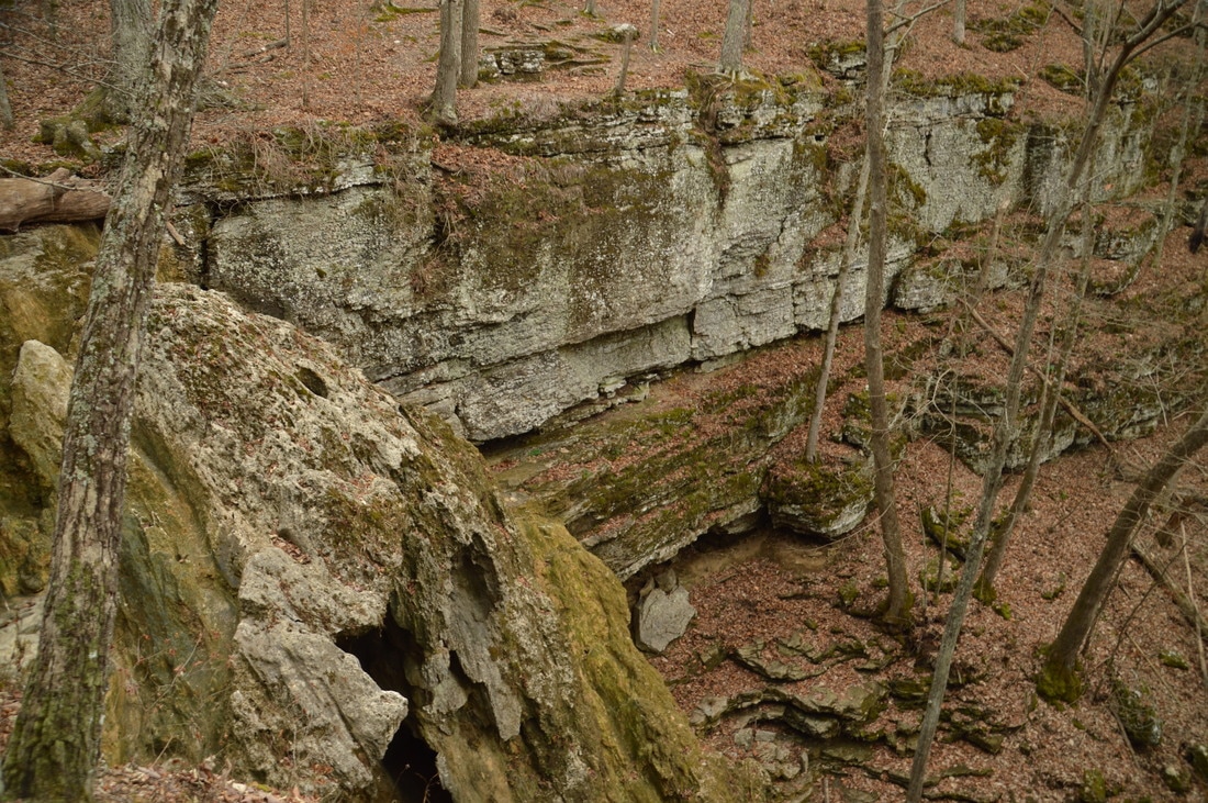
Pocket Falls, a low-flow waterfall on Pocket Branch near The Pocket Trailhead on the west side of Pigeon Mountain, presents a scenic setting. However, the waterfall often runs dry during extended periods of time without measurable rain.
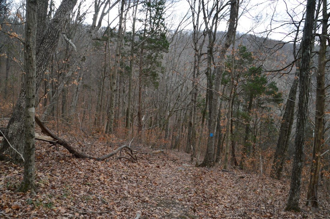
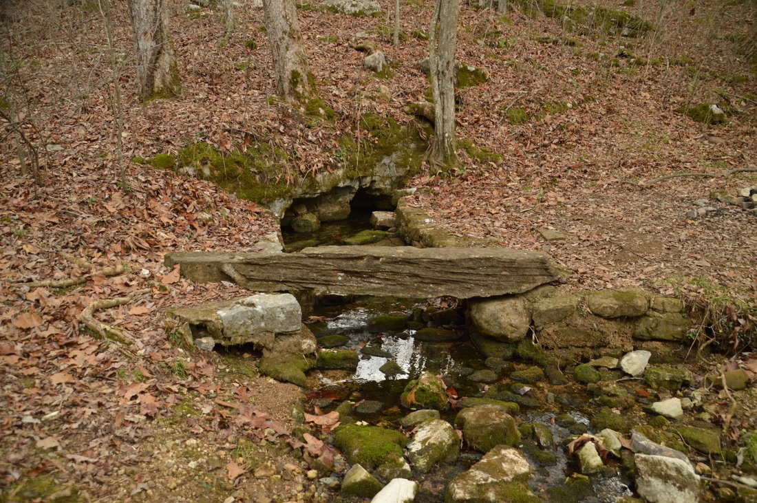
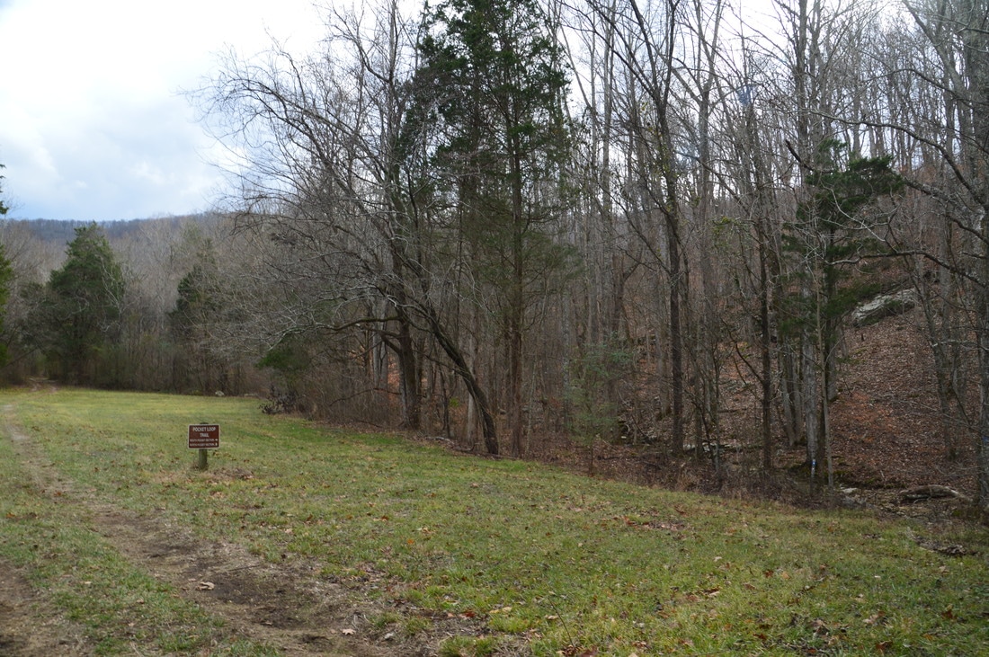
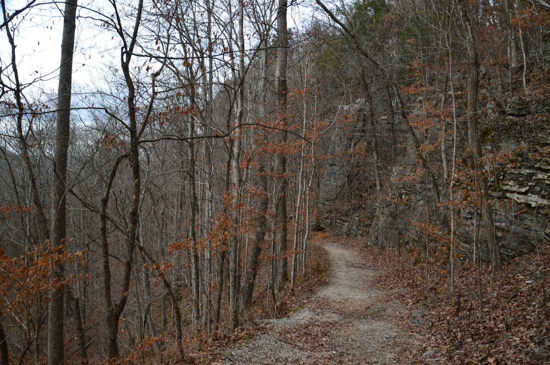
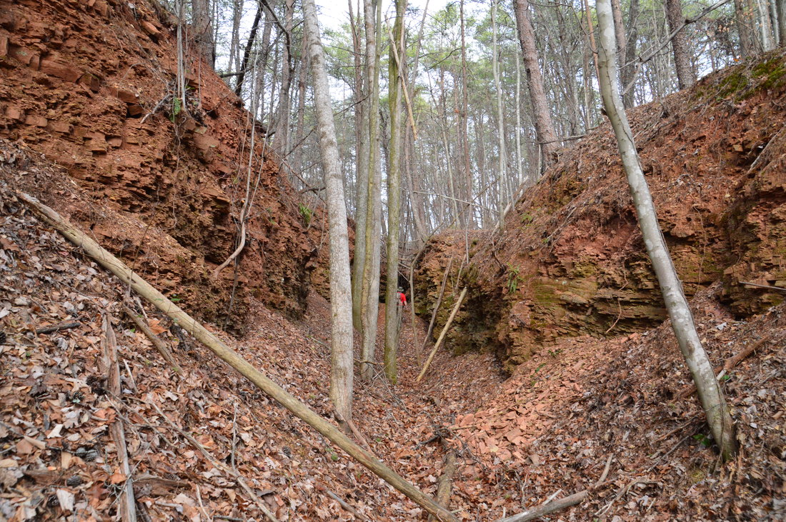
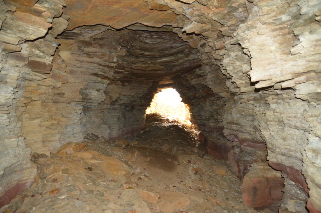
Unless you want to do the side trip along the Shirley Miller Wildflower Trail, walk across the large gravel parking for the Pocket Trail. At the right (north) end of the parking area, the signed and orange-blazed Estelle Mines Trail begins. Right at the beginning, the trail crosses the streambed of a seasonal stream. It is possible to follow this stream upstream for about 0.35 miles to an impressive multi-tiered waterfall that is sometimes referred to as Pigeon Falls. If you choose to visit this waterfall, keep in mind that it is not likely to be flowing well unless there has been a lot of rain recently. I was confident that it wasn't flowing at all on this day, so I skipped the side trip. The Estelle Mines Trail begins ascending up the eroded old railbed. At 5.7 miles, a blaze and an arrow point out the trail as it turns left off the railbed to bypass some very eroded portions of it. The first tunnel, which has caved in, is also bypassed this way. A short but steep ascent brings the trail to a low ridge with some winter views to the west. The trail continues a rollercoaster pattern until 6.4 miles, when it rejoins the railbed. At 6.5 miles, reach the first of four passable tunnels that had been created for the old Estelle Mines railroad. Iron ore was transported through these tunnels via rail. Please note that hiking through the tunnels isn't 100% safe, as on rare occasions, rocks can come tumbling down from the ceiling. There is a designated slightly longer bypass trail to the left of each of the four passable tunnels, although I hiked through all of the tunnels.
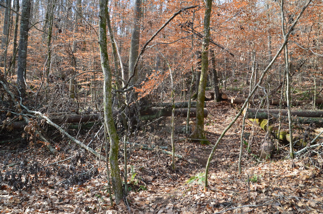
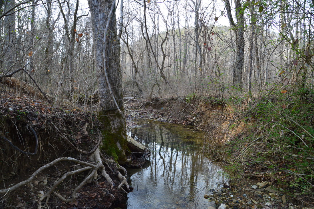
The first tunnel is the longest tunnel. They all come in quick succession. The following mileage is assuming that you have hiked through the tunnels. Enter Tunnel 2 at 6.7 miles, enter Tunnel 3 at 6.8 miles, and enter Tunnel 4 at 6.9 miles. Some minor scrambling is needed to enter and exit Tunnels 3 and 4. Between the tunnels, you will notice signs of strip mining that had been done in the area. After the fourth passable tunnel, the trail bears left onto an old roadbed. There is another tunnel in this area, that has partially collapsed, but the trail does not pass near it. The roadbed that the trail is following soon begins to descend, crossing Walden Branch at 7.55 miles. This stream has a surprising amount of water in it, despite the small size of the drainage; even though it was an easy rock hop today, I suspect that it is a wet ford during rainier periods. Just past the stream crossing, at 7.6 miles, there is an intersection with the Bluebird Gap Shortcut Trail. The Estelle Mines Trail continues straight to a wildlife clearing and then to a trailhead on Estelle Mines Road, but to continue following the loop, turn right onto the Bluebird Gap Shortcut Trail. This trail provides a quick route to the Bluff Trail, and it also marks the beginning of the second ascent on the hike. This ascent is slightly easier, but it may feel harder, because you already have 7.6 miles on your legs at this point. 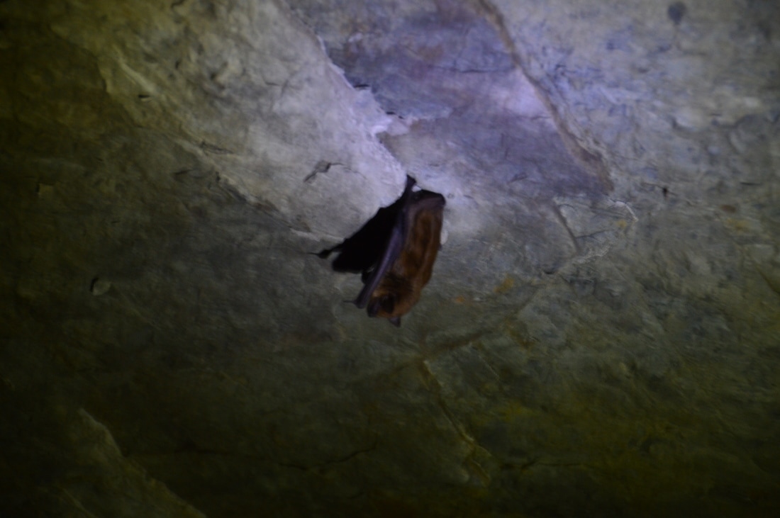
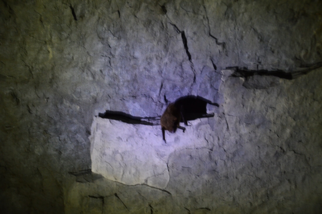
Hiking through the Estelle Mines old railroad tunnels can lead to a surprise, such as spotting a bat.
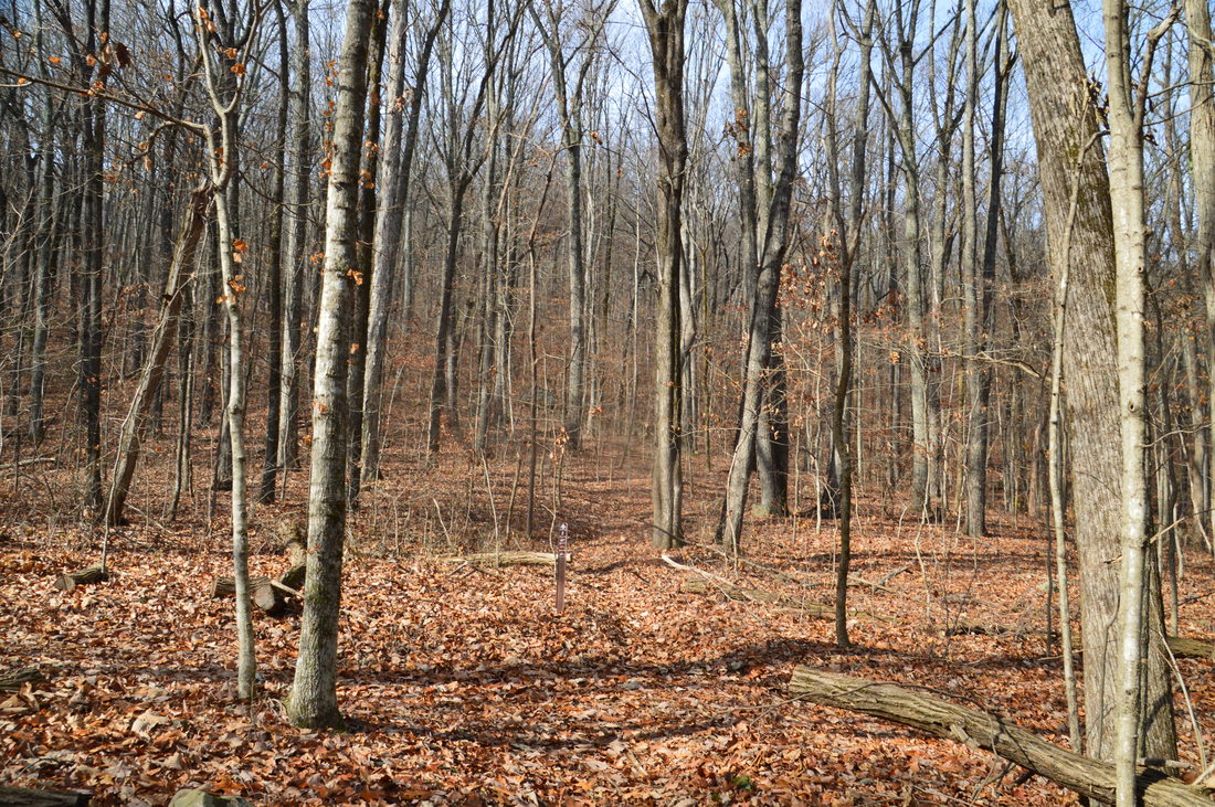
The Bluebird Gap Shortcut begins with a moderate to difficult ascent out of the Walden Branch valley. At 8.0 miles, there is a split in the path. Bear right to continue on the trail, which now continues ascending much more gradually. At 8.45 miles, the shortcut ends at the white-blazed Bluff Trail. To the left, the Bluff Trail leads to Estelle Mines Road, while to the right, it leads to the Blue Hole Trail/Pocket Trail junction at the top of Pigeon Mountain. To follow the loop, turn right. This trail is blazed fairly well, but it appears to receive very little usage, so pay attention to the blazes and the trail. The Bluff Trail passes through Bluebird Gap at 8.6 miles and then crosses the often-dry streambed of Waterfall Branch at 8.7 miles. There is a wet-weather waterfall on this small stream farther down the mountain. After this, the trail ascends about 700 feet in the next 1.7 miles. Switchbacks aid with the ascent, but there are numerous blowdowns that slow down progress. In particular, there is a large blowdown right at a switchback at 9.3 miles, and it is easy to continue straight here instead of following the trail across the switchback. Also, closer to the end of the ascent (in the vicinity of the 10-mile mark), the trail becomes very faint, and the lack of blazes contributes to the confusion. I wandered off the trail several times in this area. Once you've passed through the confusing section of trail, you will reach the junction with the Pocket Trail and Blue Hole Trail at the top of Pigeon Mountain (where you were much earlier in the day) at 10.4 miles.
From the junction on top of Pigeon Mountain, turn left onto the Blue Hole Trail and simply retrace your steps from the beginning of the day down the steep trail, past the two entrances to Ellison's Cave and to the Blue Hole Trailhead. You will return to the parking area at Blue Hole at 12.3 miles, concluding the hike. Mileage
0.0 - Blue Hole
1.1 - Main Entrance to Ellison's Cave 1.7 - Historic Entrance to Ellison's Cave 5.1 - The Pocket 5.45 - The Pocket Tralhead 6.5 - Tunnel 1 6.7 - Tunnel 2 6.8 - Tunnel 3 6.9 - Tunnel 4 7.55 - Walden Branch 8.6 - Bluebird Gap 8.7 - Waterfall Branch 12.3 - Blue Hole Variations
Hike out and back past the main entrance to Ellison's Cave and to the historic cave entrance - 3.4 Miles
Make the side trip to Pigeon Falls - adds 0.7 Miles Please note that bypassing all four tunnels would lengthen the hike by about a half-mile. Bonus Stops
Dickson Falls is a 70-foot waterfall that is accessed by a quarter-mile trail from Rocky Lane. Located on Dickson Branch, this is one of the most impressive waterfalls in the area after periods of rain. Additionally, a short walk from Rocky Lane leads to Pettyjohn's Cave. This cave is not as dangerous as Ellison's Cave, and in fact, it is possible to scramble into the first chamber of the cave without any professional equipment or skills. Nevertheless, advancing into the cave beyond the first chamber is not recommended for people without caving gear.
PicturesVideos
2 Comments
Carson
3/10/2019 03:40:49 am
I know this is a 2 year old post. However, is it possible to hike through some of the tunnels without rope? I am confused as to why this cave is not super regulated yet so i feel like I am missing some information.
gxg
6/26/2019 02:32:18 pm
The tunnels are very easy to walk through. They are not caves. They are not very long and are not technical at all. The most you need to navigate the tunnels is a flashlight. There are actual caves in the area that are dangerous to enter, but these tunnels are not them. Leave a Reply. |
About MeMark Oleg Ozboyd Dear readers: I have invested a tremendous amount of time and effort in this website and the Georgia Waterfalls Database the past five years. All of the work that has gone in keeping these websites updated with my latest trip reports has almost been like a full-time job. This has not allowed me to pick up a paid job to save up money for college, and therefore, I I've had to take out loans. If you find the information on this website interesting, helpful, or time-saving, you can say "thanks" and help me out by clicking the button above and making a contribution. I will be very grateful for any amount of support you give, as all of it will apply toward my college tuition. Thank you!

Coming in 2022-2023?
Other Hiking WebsitesMiles HikedYear 1: 540.0 Miles
Year 2: 552.3 Miles Year 3: 518.4 Miles Year 4: 482.4 Miles Year 5: 259.9 Miles Archives
March 2021
Categories
All
|


 RSS Feed