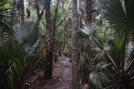
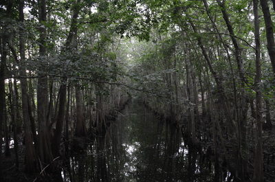
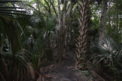
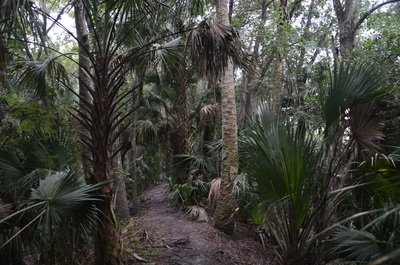
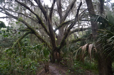
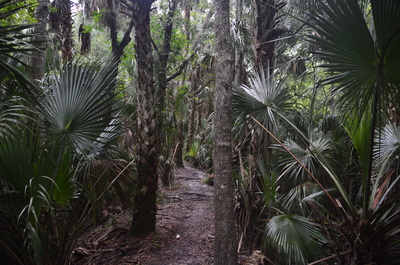
The name may turn out to be slightly deceiving, for you are not likely to sight black bears on this hike. Nonetheless, there's plenty of other things to see on this hike that the name does not suggest. The rugged relatively new 7-mile trail in Black Bear Wilderness follows a series of dikes, some narrow, some wide, for most of its route through densely vegetated swamps in the St. Johns River floodplain and along the river itself. The muggy jungle-like forest with dozens of palms and palmettos on every bit of dry land may have you thinking that you're actually walking through a tropical rainforest. Just watch your footing around the countless roots (and trees) that are positioned on the dike. This hike occurred on Saturday, July 2nd, 2016. My plan was to hike counter-clockwise the entire loop in Black Bear Wilderness.
Summary
R/T Length of Trail: 7.2 Miles
Duration of Hike: 2:50 Type of Hike: Loop Difficulty Rating: 3 out of 10 Total Elevation Gain: Minimal Pros: Rugged trail is an interesting challenge for Florida hikers, for most Florida trails are easier to walk Cons: The entire hike is quite monotonous, with pretty much the same scenery throughout the entire trail (save for some river views), making it not as exciting as I had anticipated Points of Interest: Views of the St. Johns River Trail Blaze Color(s): Black Bear Wilderness Loop Trail - Blue Arrows Best Season(s) to Hike: Winter Fees: None Beginning Point: Black Bear Wilderness Trailhead on Michigan Avenue Directions from Sanford, FL: From the intersection of US 17 (French Avenue) and FL Route 46 (1st Street), follow FL 46 West for 5.5 miles. Then, turn right onto FL Route 431 (Orange Boulevard). Continue for 1.3 miles, and then, turn left onto New York Street. Follow New York Street to its end at Michigan Avenue. The fenced-in parking area at the trailhead lies directly in front of the intersection. The hike begins here. Map
Click here for more information and to download this trail map to view in Garmin Basecamp.
Details
Following my first hike of the day at Circle B Bar Reserve, I was looking forward to another seemingly spectacular hike at Black Bear Wilderness. I was a bit disappointed. The trail was actually somewhat boring due to the monotony in the landscape, and there were few good views of the St. Johns River. The canals along the dikes didn't exactly remind me of a true swamp. Nevertheless, this is still an interesting hike - for I don't want to dissuade you from doing it - and even though black bears are not around every corner, you might still be able to sight one. I have also read that this is a great place to sight alligators, although I didn't see any on my hike.
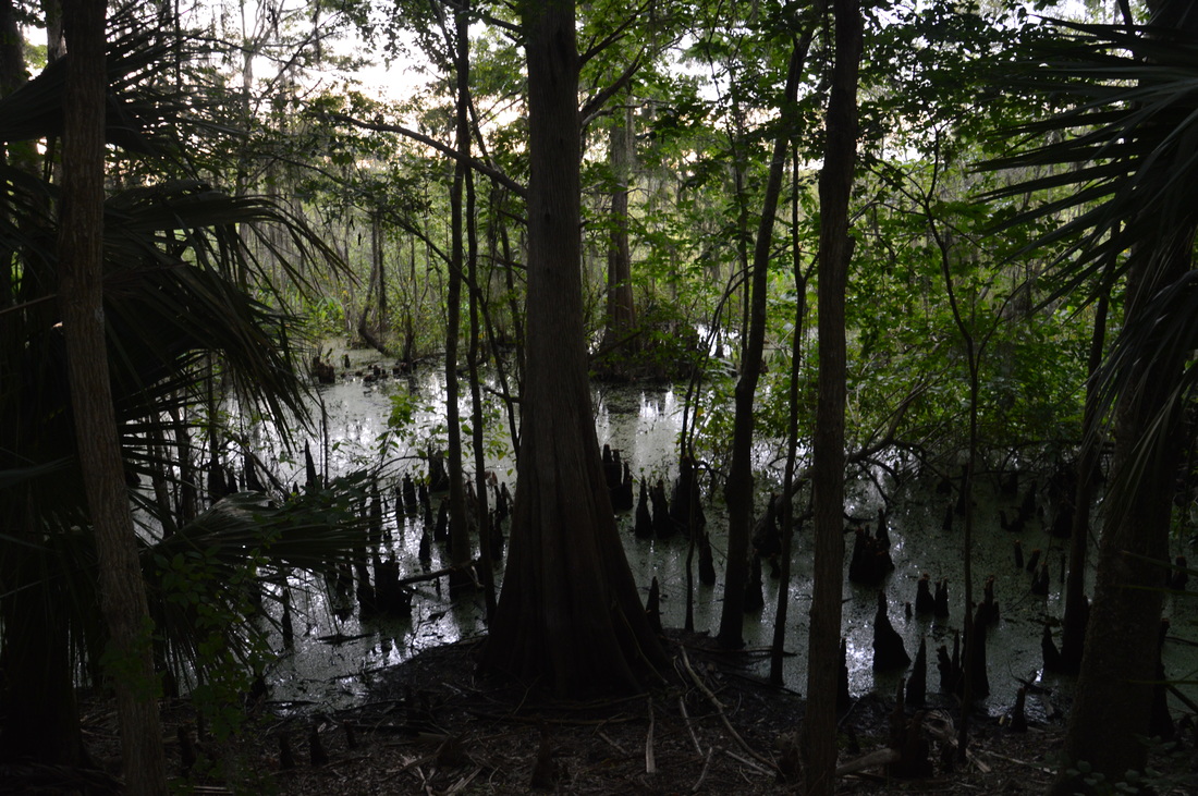
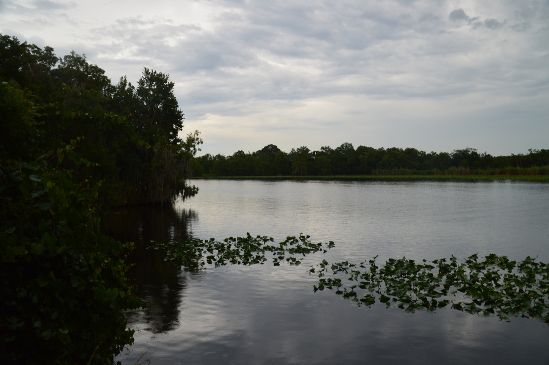
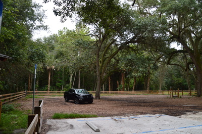
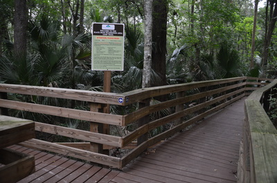
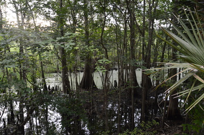
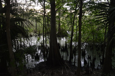
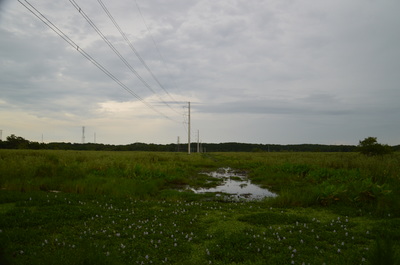
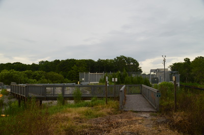
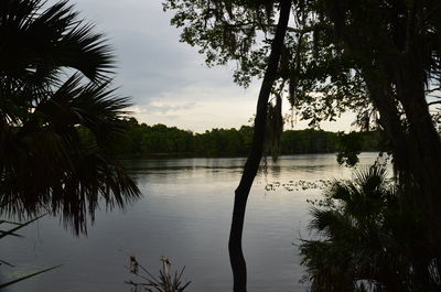
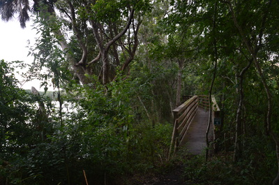
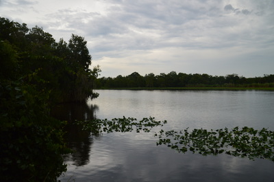
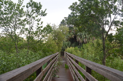
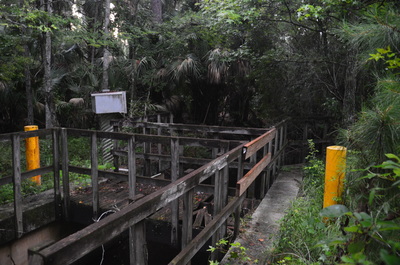
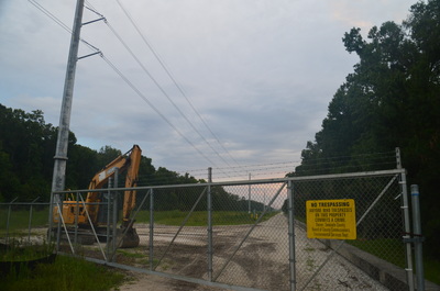
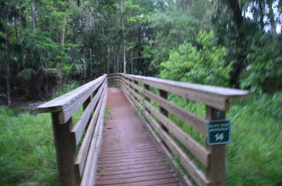
The hike begins at the large parking at the intersection of Michigan Avenue and New York Street. A trailhead kiosk has a map of the hike and some information about it, although it makes the trail sound more difficult than it really is. The wide trail begins by gradually dipping down towards the swamp. Near the beginning, the trail navigates across a lush section of swamp using Boardwalk #1 (the first of fourteen boardwalks on this hike). The loop hike begins at a split in the boardwalk at 0.15 miles. If you follow my route, you'll bear right to hike the loop counter-clockwise. I liked the way I hiked the loop, because the last part was on a wider and easier-to-follow dike than the rest of the hike. Originally, this county park had only a 2 mile out-and-back hike along the right-hand split of the trail to the St. Johns River and back. The full 7-mile loop is a fairly recent addition, having been completed on June 12, 2015. After the right turn, the boardwalk shortly ends, depositing you onto a rooty footpath on the elevated dike. There is a cypress-lined swampy canal on each side of the dike. At this point, the trail is still in good shape, as this part of the dike system is relatively wide and level. As you follow it north towards the river, take a look at the countless cypress knees in the water. At 0.9 miles, the trail crosses a huge powerline clearing. This is a new powerline, and the trail crosses a gravel service road along the powerline cut. To the right is a new water treatment facility. Beyond the facility, the trail follows Boardwalk #2, crossing a wide canal. Then, the boardwalk ends, and a wide watery expanse lies ahead. You have arrived at the St. Johns River. There is a small clearing here allowing a view of the river.'s end point.
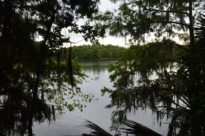
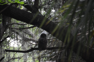
Today, you can continue following the trail northwest along the St. Johns River, although before June 2015, the point that is now Boardwalk #3 was the trail's end point. Turn left and follow the trail along the dike, with the river to the right and a canal to the left. This is the beginning of a much rougher section of the hike. The dike is very narrow, with lots of trees and their roots on the trail, so you constantly have to scramble up and down the slopes of the dike. However, I still made good speed here. Most of the boardwalks on the trail were along the river section. As I was following the trail, I noticed a barred owl silently watching me from its perch on a branch directly above the trail. I was able to get its picture before it flew off.
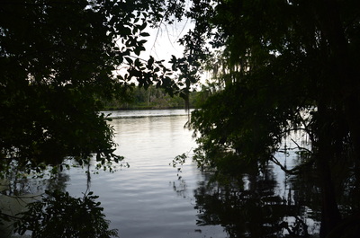
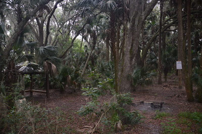
At Boardwalk #5, there is a kayak landing to the right, allowing for direct river access. The trail continues to follow the river, although you cannot see much of it through the trees. You can always hear the motorboats that rush down the river every ten minutes or so. Just past Boardwalk #6 is a clearing with a good view of the St. Johns River - the best view of it on this hike. After this, the trail moves slightly farther away from the river. At 3.15 miles, between Boardwalk #10 and #11, the primitive campsite is in a dry spot to the left of the trail. There is also a bad weather shelter there. The trail now follows the edge of the river's immediate floodplain, crossing pockets of it via boardwalks. However, there are no more views of the river itself.
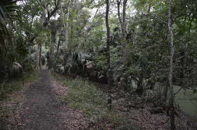
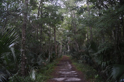
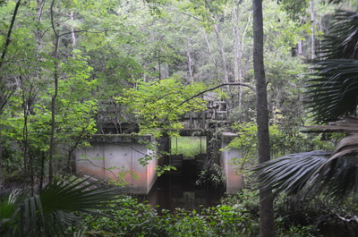
At 4 miles, the trail makes a gradual but long turn to the left, southwestward, leaving the St. Johns River for good. For over a mile, the narrow, rugged dike remains very straight, and there's remote swamp on both sides. Then, at 5.15 miles, it makes a gradual turn to the southeast, as the trail suddenly descends into a clearing where an armadillo scuttled away into the trees. This is the end of the rugged dike. From here, the trail follows a much broader dike that looks like a service road. At this clearing, there is a bizarre water control structure to the right. I saw many more of these throughout the next quarter-mile or so, but their purpose was unclear to me. At 5.75 miles, the trail crossed the new powerline cut a second time. I walked a little bit to the right along the service road, trying to figure out what the water control structures were for. I could see a sort of grown-up canal heading along the side of the service road, before suddenly swerving off to follow the dike. It appears that the canals and water control structures help to keep the dikes and the service road dry, although when I started reading up on the subject, I found out that these bizarre structures have something to do with the water treatment facility near the beginning of the hike.
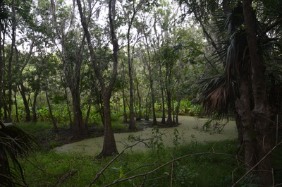
At 6.3 miles, the trail gradually curved more to the southeast, and passing a neighborhood to the right, the trail passed over the final Boardwalk, Boardwalk #14, after which the dike narrowed but was still fairly easy to follow. Crossing a couple of blackwater streams, where you could possibly get your feet wet after a large amount of rain, the loop trail arrived at Boardwalk #1 and the end of the loop at 7.05 miles. Here, turn right and hike the final short stretch back to the trailhead, concluding this hike at 7.2 miles. Mileage
0.0 - Black Bear Wilderness Trailhead
0.15 - Beginning of loop 1.0 - Former end of trail, views of St. Johns River 3.15 - Campsite 4.0 - Trail leaves St. Johns River 7.05 - End of loop 7.2 - Black Bear Wilderness Trailhead Variations
Hike out and back to the former end of the trail at the St. Johns River - 2.0 Miles
Bonus Stops
Check out the plenty of hiking trails at nearby Lower Wekiva River State Park and Seminole State Forest.
Pictures
2 Comments
Brian
9/28/2016 03:49:30 pm
I really appreciate this article. I just moved to Sanford and love hiking, but wasn't aware of this trail.
Reply
Mark Oleg
9/28/2016 05:43:42 pm
Thank you. There's plenty of hiking opportunities around Orlando. Just in case you haven't heard of them, Seminole State Forest and the Econlockhatchee River have great hiking trails.
Reply
Leave a Reply. |
About MeMark Oleg Ozboyd Dear readers: I have invested a tremendous amount of time and effort in this website and the Georgia Waterfalls Database the past five years. All of the work that has gone in keeping these websites updated with my latest trip reports has almost been like a full-time job. This has not allowed me to pick up a paid job to save up money for college, and therefore, I I've had to take out loans. If you find the information on this website interesting, helpful, or time-saving, you can say "thanks" and help me out by clicking the button above and making a contribution. I will be very grateful for any amount of support you give, as all of it will apply toward my college tuition. Thank you!
Coming in 2022-2023?
Other Hiking WebsitesMiles HikedYear 1: 540.0 Miles
Year 2: 552.3 Miles Year 3: 518.4 Miles Year 4: 482.4 Miles Year 5: 259.9 Miles Archives
March 2021
Categories
All
|


 RSS Feed