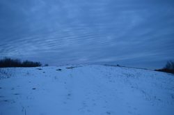
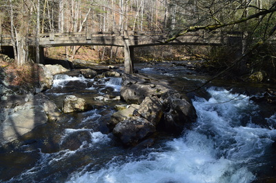
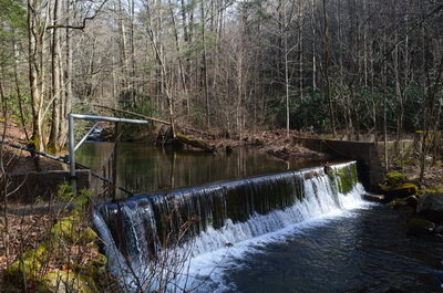
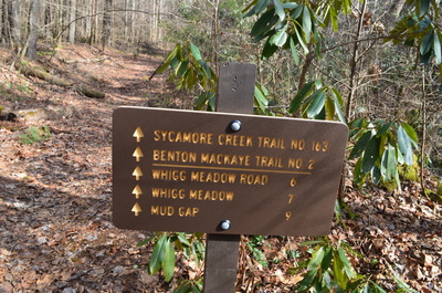
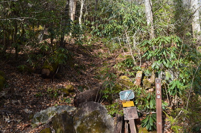
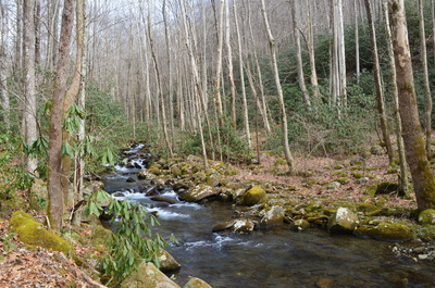
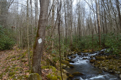
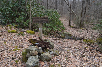
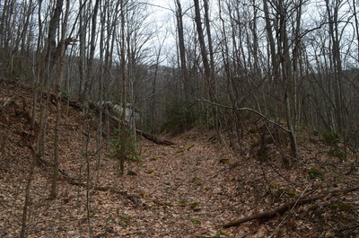
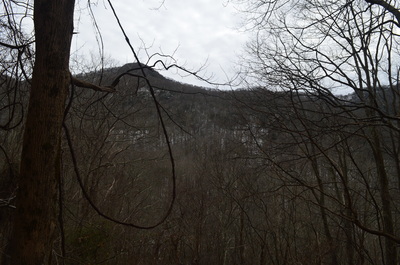
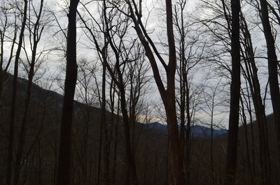
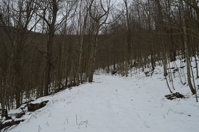
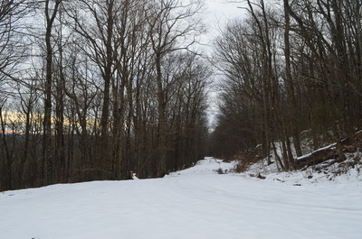
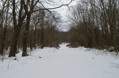
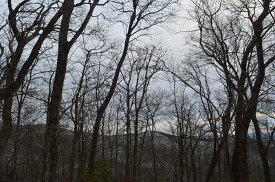
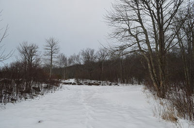
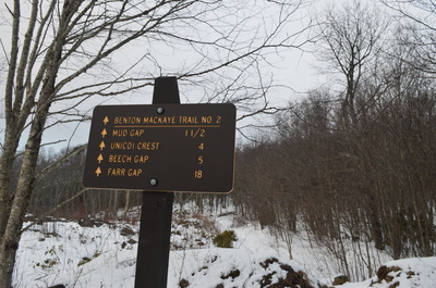
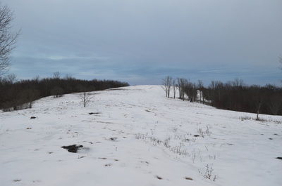
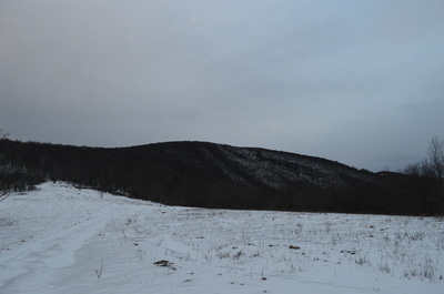
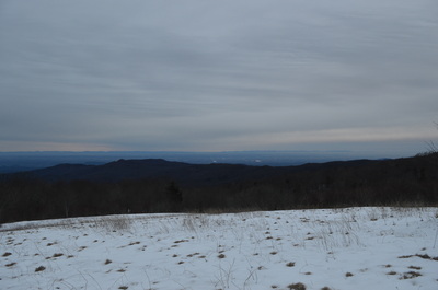
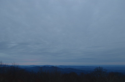
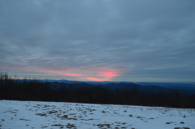
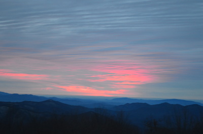
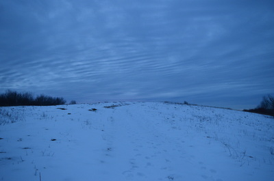
 The Tellico River watershed is home to some of the most pristine and beautiful streams in Tennessee. Two wilderness areas, Bald River Gorge Wlderness and Citico Creek Wilderness, protect some of its major tributaries, and many hiking trails pass through the region. One of the more notable trails is the Benton Mackaye Trail, a nearly 300-mile trail that start in northern Georgia and ends in the Smoky Mountains. The section of the Benton Mackaye Trail described here is long and hard, but the view at the end is stunning. However, if you go, don't be like me and end up hiking nearly 30 miles instead of no more than 17 from one mistake. This hike occurred on January 31st, 2015. My plan was to hike the Benton Mackaye Trail from Tellico Trout Hatchery at the Tellico River to Whiggs Meadow. Much of this hike would also be along Sycamore Creek Trail. From Whiggs Meadow, I opted for a shorter return route, along Whiggs Ridge Trail... except I didn't find the trail. I will explain more on this later. *Please note: the information below is for one way only. I cannot confirm roundtrip information due to getting lost and hiking 26 miles, and then getting picked up for a final 4-mile ride back to my car. The difficulty rating is only for the ascent (although you can imagine it's easier to descend). The GPS track shows the way I went, getting lost, but it stops at 19 miles, because my phone battery got very low. One Way Length of Trail: 8.4 Miles One Way Duration of Hike: 4:15 Type of Hike: Both Loop and Out-and-Back options (see description) One Way Difficulty Rating: 7 out of 10 Pros: No steep grades; nearly all hike along old roadbeds; great vies from Whiggs Meadow Cons: While not steep, endless ascent for over 8 miles! Scenic Views: Whiggs Meadow - 9 stars Water Features: None Best Season(s) to Hike: Year-round Trail Blaze Color(s): Benton Mackaye Trail/Sycamore Creek Trail - White Diamonds Beginning Point: Pheasant Fields Picnic Area at Tellico River Directions: From Tellico Plains, TN: Follow TN State Route 165 East for 5.2 miles, and then turn right onto River Road. Follow River Road for 15.2 miles. Pheasant Fields Picnic Area will be on the left, right after the Tellico Trout Hatchery entrance. What's the longest you've ever hiked in a day? Until now, it was 14 miles, but suddenly, I found myself jumping to 26. Yes, that;'s twenty-six. Except it was not intended. When I was hiking the Sycamore Creek Trail to Whiggs Meadow, I planned to return by way of Whiggs Ridge. Somehow, I never saw any trail going off the road, and by the time I realized I missed it, I really didn't want to hike back up to Sycamore Creek Trail, as it was a lot of uphill. Instead, I decided that it will be "easier" to go down North River Road, and then up River Road to my car. One thing though - the maximum 8 miles I was counting on ended up being over a dozen miles. Heck, more like twice the maximum distance, and maybe even more, considering I was pretty lucky to be picked up by raccoon hunters at 1 AM for the last 4 miles! I'll remember this hike for a long, long time. For you, I'd recommend going back own from Whiggs Meadow the way you came, because I can't provide information for Whiggs Ridge. If you feel adventurous, try looking for the Whiggs Ridge Trail - it will shorten the distance. Like I mentioned, the hike starts at the Pheasant Fields Picnic Area. Walk across the Tellico River bridge on the road leading to the hatchery. I scrambled down to the river to get a couple shots of the cascades below the bridge. Meanwhile, on the other side of the bridge, turn right onto a graveled forest road. While this looks like a perfectly drivable road, DO NOT drive it. I have no idea why there is no gate here, but there is a sign stating that driving is prohibited and a large fine or 6 months of prison, or both are possible if any cars seen on this road. In 0.1 miles, the road ends at a tiny lake on Sycamore Creek and a small dam. After this, the Sycamore Creek Trail officially starts, following a Benton Mackaye Trail mileage sign and a set of boulders, blocking passage to vehicles. A cabin can be seen on the other side of the creek around here. At 0.4 miles, the Sycamore Creek Trail reaches a junction with the lower end of Whiggs Ridge Trail. The Whiggs Ridge Trail went left, and the way it steeply climbed up like that, I had a feeling something might be wrong here, but I didn't really think about it much. After all, as far as I know, the trail still exists, but the upper end is badly marked. While the lower end is marked pretty well, note the sign laying on the ground. After this, the Sycamore Creek Trail continues to follow Sycamore Creek. There are several great viewpoints of the pretty stream. The trail climbs very gradually along the creek, passing a campsite at 1 mile, and crossing a couple small side streams. Then, at 1.9 miles, rock hop Mangan Branch, and make a sudden sharp left turn, away from Sycamore Creek. There is a sign here and there's a clear path going forward but it's not a trail. Once you turn left, immediately rock hop Mangan Branch again. The trail swiftly leaves the creek and rises high above it. There are good winter views of Rough Ridge to the left. At 2.3 miles, make another switchback right. Vehicle-blocking boulders are regularly placed so far. The trail crosses Mangan Branch again at 2.9 miles, and then crosses Gold Cove Branch at 3.2 miles. A small gap is reached at 3.5 miles, and the ascent continues here, still following an old roadbed. While the ascent has been pretty much from the start without breaks, it's not steep, so it is barely noticed.... at least until a certain point it is not, but after all, 8 miles of this stuff can be pretty tiring. Anyway, after the gap, while the trail continues to stay flat or slightly ascend, Sycamore Creek is steeper here, so the creek reaches the trail eventually. However, as quickly as the creek is reached, the trail leaves it again, and this time for good. At 4.2 miles, a sharp switchback takes the trail left, away from the creek. An old roadbed continues forward as well to a nice campsite. There used to be a sign here marking the turn. As soon as the trail left the creek, snow began to make its appearance. The climb is slightly more earnest but still moderate. The trail rounded a shoulder at 4 3/4 miles, and the snow got deeper. There were a couple inches along this section of the trail, which still followed an old roadbed. A couple small streams are crossed in this area. At 6 miles, the moderate ascent ends the Sycamore Creek Trail at a junction with Sycamore Road (Forest Service Road 61). If you want to search for the Whiggs Ridge Trail, it's about half a mile after turning left on the road, but for the purposes of this hike, go forward (up the road). DO NOT take the gated road on the right either. The road has a sometimes steeper ascent than n the rest of the hike, but generally still manageable. However, it was beginning to get annoying, being so long and tedious. The snow kept getting deeper. There were about 4 inches through the rest of the hike to Whiggs Meadow. The Benton Mackaye Trail followed Sycamore Road to its end at Whiggs Meadow in 2.4 miles, making a total ascent of 8.4 miles. Whiggs Meadow was to the left of the parking area, while the BMT continued straight to Mud Gap and Unicoi Crest. Whiggs Meadow provides an amazing vista. To the north, you can see Haw Knob and Little Haw Knob, which stand guard over the meadow. To the west, there is a view into the Tellico River basin and beyond to the Cumberland Plateau, and to the south the Ocoee/Hiwassee Ranger District's mountains can be seen. With a nice snow cover, the evening scene was breathtaking. From here, you have a few choices. First of all, the best choice would be to return the way you came. There are a couple different choices too. If you have a second car at Mud Gap, then just hike those extra couple miles to there. Mud Gap is a trailhead on the Cherohala Skyway. Also, you could try the option I had planned: walking down Sycamore Road and taking the Whiggs Ridge Trail, as it is shorter by a few miles (although I would assume steeper too). But like I mentioned, if you are not very familiar with the area, the best would be to return the way you came. To summarize, this is a fairly strenuous hike, but might be one of the best to introduce you to the hikes on the Cherohala Skyway. I am planning to do many more hikes in this area. Below are my pictures and a video.
0 Comments
Leave a Reply. |
About MeMark Oleg Ozboyd Dear readers: I have invested a tremendous amount of time and effort in this website and the Georgia Waterfalls Database the past five years. All of the work that has gone in keeping these websites updated with my latest trip reports has almost been like a full-time job. This has not allowed me to pick up a paid job to save up money for college, and therefore, I I've had to take out loans. If you find the information on this website interesting, helpful, or time-saving, you can say "thanks" and help me out by clicking the button above and making a contribution. I will be very grateful for any amount of support you give, as all of it will apply toward my college tuition. Thank you!
Coming in 2022-2023?
Other Hiking WebsitesMiles HikedYear 1: 540.0 Miles
Year 2: 552.3 Miles Year 3: 518.4 Miles Year 4: 482.4 Miles Year 5: 259.9 Miles Archives
March 2021
Categories
All
|


 RSS Feed