 Polk County, Tennessee, is the Gateway to the Cherokee National Forest. In this beautiful corner of extreme southeast Tennessee, the rivers cut their way through valleys, bordered by the low-lying peaks of the Unicoi Mountains. The Benton Mackaye Trail's route goes straight through the area, following rolling hills and wooded slopes. One of the more prominent landmarks in the area is called Buck Bald, a small mountain with the summit being nothing more than a grassy clearing accessible via Buck Bald Road. While the BMT doesn't directly go over the top, it passes close by, and access to the bald is easy. This hike occurred on Saturday, October 25th, 2014. My plan was from Highway 68 to follow the Benton Mackaye Trail north to Buck Bald Road, and then take Buck Bald Road to the summit of Buck Bald. This short hike is an excellent way to spend your afternoon and watch the sunset. R/T Length of Trail: 3.8 Miles Duration of Hike: 3:30 Type of Hike: Out and Back Difficulty Rating: 3 out of 10 Pros: Great views from summit; prime sunset-watching area Cons: BMT follows Unicoi Motorcycle Trail for some time; second part follows a road Scenic Views: Buck Bald - 7 stars Water Features: None Best Season(s) to Hike: Fall Trail Blaze Color(s): Benton Mackaye Trail - White Diamond Beginning Point: Pullout for Benton Mackaye Trail on Tennessee State Route 68 Directions: From the junction of Tennessee State Route 165 and Tennessee State Route 68, follow Route 68 South for 15.7 miles to the pullout for the Benton Mackaye Trail on the right. This is my first listing on the Benton Mackaye Trail on this website, strangely enough. I used to hike it a lot before, but I have found myself moving over to other trails like Foothills Trail and Bartram Trail further east. Still, there are sights along the Benton Mackaye Trail not to be missed. This post describes one of the best of them.
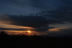
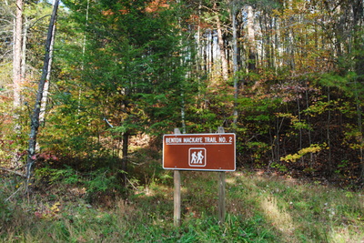
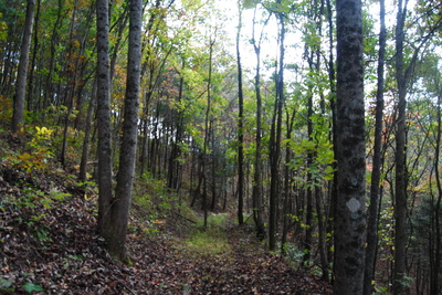
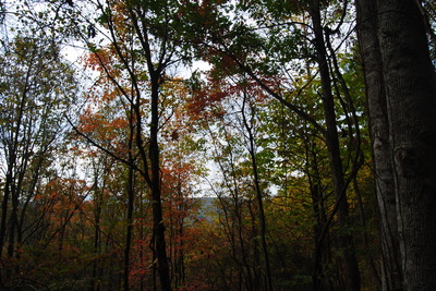
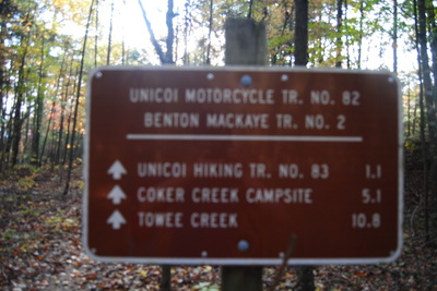
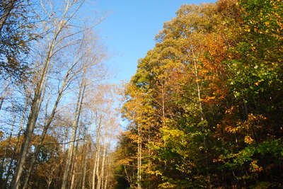
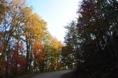
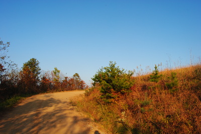
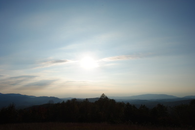
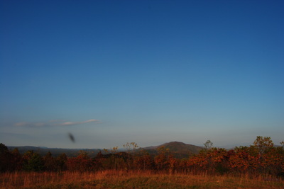
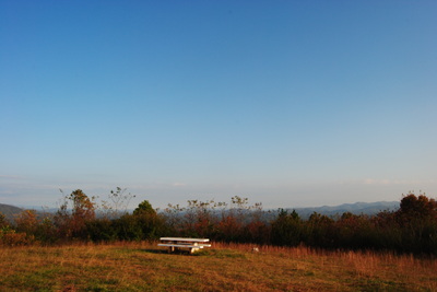
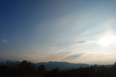
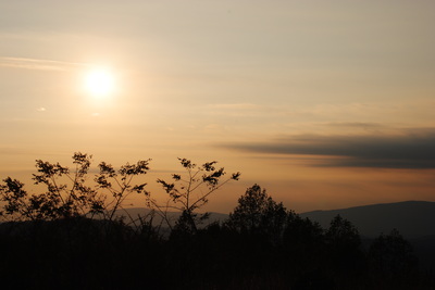
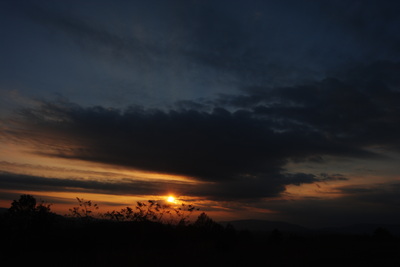
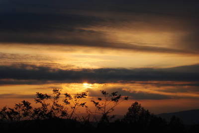
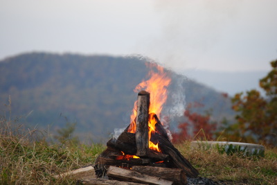
From the little-used trailhead on Highway 68, take the BMT on the opposite side of the road. Being peak fall foliage, the forest was beautiful right from the start of the hike. Seriously, this is one of the best hikes for seeing fall foliage that I know of. There's so many different colorful trees. The trail picks up a gentle ascent along an old roadbed following a low ridgeline. This ascent is quite gradual, and winter views abound into the valleys to the west. The ascent is never really steep - just gradually working its way up for the first 0.5 miles. Then, there is a brief descent to reach a junction with Unicoi Motorcycle Trail at 0.7 miles. Now this is a new one to me. The Motorcycle Trail joins the Benton Mackaye Trail to run in conjunction with it. What the? I've never seen this before. It's somewhat dangerous to share a footpath with a motor trail. I just don't understand, but luckily, I didn't see any motorcycles here (although I heard some pretty close). The trail immediately becomes much more clear too. This continues for 0.4 miles, and then, at 1.1 miles, reach Buck Bald Road. Here, take a right onto the road. Follow it uphill for 0.8 miles. It is a gradual ascent as the road twists around Buck Bald, before finally summitting it at 1.9 miles. The view leaves almost nothing to be desired, except... a little more clearing than there is. There are some shrubs and bushes growing around the clearing, slightly impeding the views, but still, it is such a beautiful 360 degree panorama. To the west is Oswald Dome and Chillhowee Mountains area; to the south is the Big Frog Wilderness; to the east is Lake Hiwassee and Lake Apalachia; and to the north is the bigger extent of the Unicoi Mountains, with the Citico Creek Wilderness far beyond. Waiting for the sunset on this mountain is so worth it - while clouds took over around sunset, I still got some excellent pictures. I have nothing to regret about the over hour long wait. If you go, I highly recommend you to do the same. The hike back down is so quick that you have a chance to make it out before complete darkness. Below are some pictures.
3 Comments
Colee Jones
11/4/2014 10:59:20 am
This is where I was born. Bathed in Coker Creek. Played on Buck Bald when the fire watchtower was there!! Awesome place to live!! Home is only 3 miles away. !😎
Reply
Marci Spencer
8/15/2021 11:37:27 am
Cole Jones,
Reply
Leave a Reply. |
About MeMark Oleg Ozboyd Dear readers: I have invested a tremendous amount of time and effort in this website and the Georgia Waterfalls Database the past five years. All of the work that has gone in keeping these websites updated with my latest trip reports has almost been like a full-time job. This has not allowed me to pick up a paid job to save up money for college, and therefore, I I've had to take out loans. If you find the information on this website interesting, helpful, or time-saving, you can say "thanks" and help me out by clicking the button above and making a contribution. I will be very grateful for any amount of support you give, as all of it will apply toward my college tuition. Thank you!
Coming in 2022-2023?
Other Hiking WebsitesMiles HikedYear 1: 540.0 Miles
Year 2: 552.3 Miles Year 3: 518.4 Miles Year 4: 482.4 Miles Year 5: 259.9 Miles Archives
March 2021
Categories
All
|

 RSS Feed