HIKING THE APPALACHIANS AND BEYOND
  • Home
  • Trail Reports
    • Best Hikes
    • Hikes with Scenic Views
    • Hikes with Water Features
    • Alabama
    • Georgia
    • Florida
    • North Carolina
    • South Carolina
    • Tennessee
    • Vermont
    • Virginia
  • Map
  • Hike List
  • Testimonials
  • Resources
  • Contact Us
  • Southeast Nature Society
    • Our Team
  • Georgia Waterfalls Database

Appalachian Trail: Dicks Creek Gap to Wolfstake Knob to Addis Gap, Hiawassee, Georgia

12/13/2016

0 Comments

 
Picture
The Appalachian Trail has both grand vistas as well as much smaller ones that are equally breathtaking. The view from Wolfstake Knob falls into the latter category. Located on the Tennessee Valley Divide, Wolfstake Knob provides a memorable view to the east with Lake Burton and the mountains of Rabun County in the picture. On this hike, you will follow the Appalachian Trail to the great view from Wolfstake Knob, and then, you will continue following the footpath which becomes much less used and provides plenty of solitude around Kelly Knob and Addis Gap. This hike occurred on Saturday, October 8th, 2016. My plan was to hike the Appalachian Trail out and back from Dicks Creek Gap to Addis Gap. I would take the spur trail to Wolfstake Knob and its views, as well as the spur trail to Deep Gap Shelter, along the way. 

Summary

R/T Length of Trail: 11.7 Miles 
Duration of Hike: 7:40 
Type of Hike: Out and Back 
Difficulty Rating: 7 out of 10 
Total Elevation Gain: 3702 Feet
Pros: Many great campsites
Cons: No major points of interest beyond Wolfstake Knob 
Points of Interest: Wolfstake Knob Overlook - 6 stars
Trail Blaze Color(s): Appalachian Trail - White; Wolfstake Knob Vista Spur Trail - Blue; Deep Gap Shelter Spur Trail - Blue
Best Season(s) to Hike: Winter 
Fees: None 
Beginning Point: Dicks Creek Gap Trailhead 
​Directions from Hiawassee, GA: From the intersection of Main Street and River Street in downtown Hiawassee, follow US 76 East (S Main Street) for 10.4 miles to Dicks Creek Gap. The Appalachian Trail parking area will be on the left side of the highway at Dicks Creek Gap. 

Map

​Click ​here for more information and to download this trail map to view in Garmin Basecamp.

​Details

A couple of years ago, I did a hike along the Appalachian Trail along the Tennessee Valley Divide from Addis Gap to Tray Mountain, and I enjoyed the hike a lot, due to the extensive winter views throughout the hike, which constantly followed the ridgeline. On this day, I decided to hike the adjacent section from Dicks Creek Gap to Addis Gap, which I had suspected woul be similar. While it is generally not as gorgeous as its neighbor to the south, this section of the AT was still a great hike with rewarding views from Wolfstake Knob. 

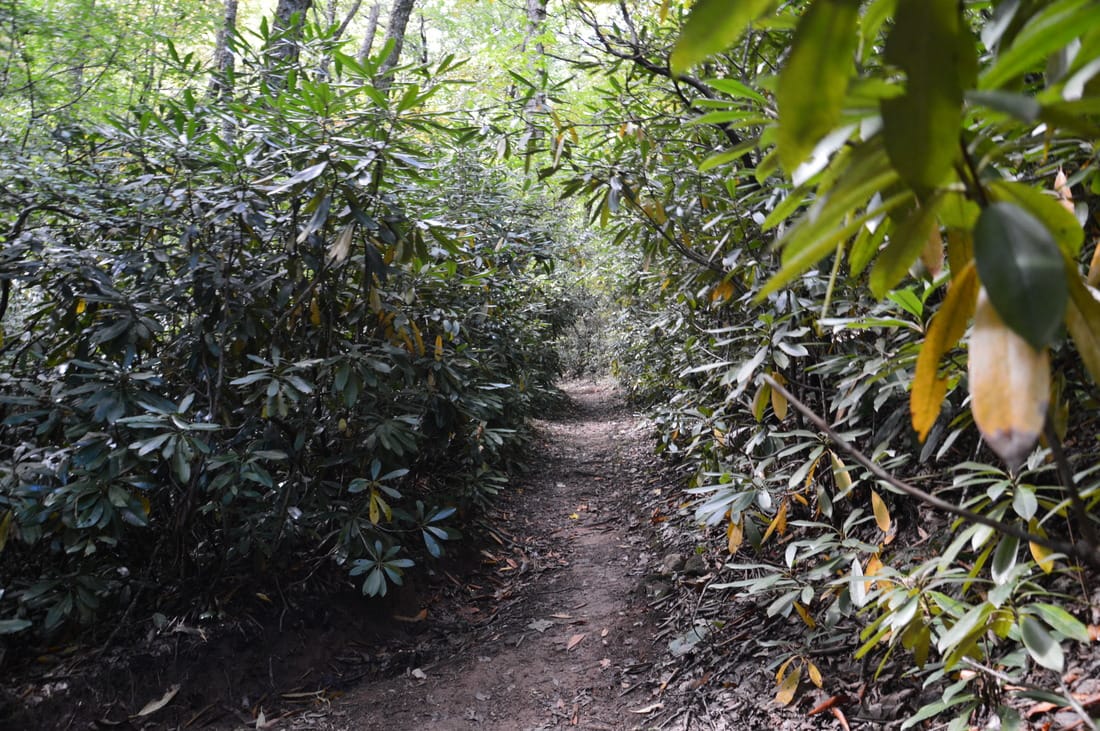
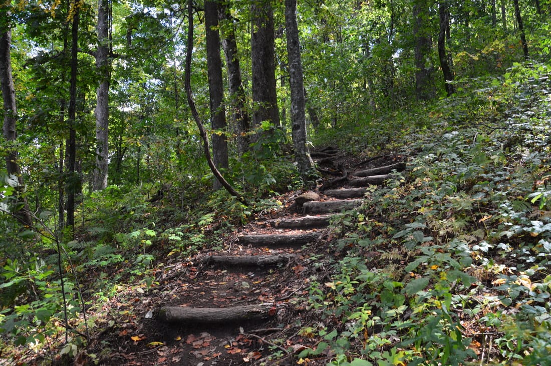
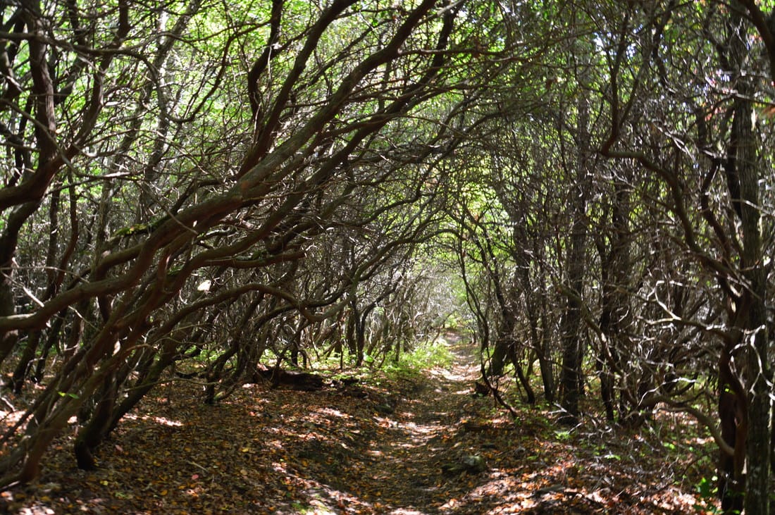
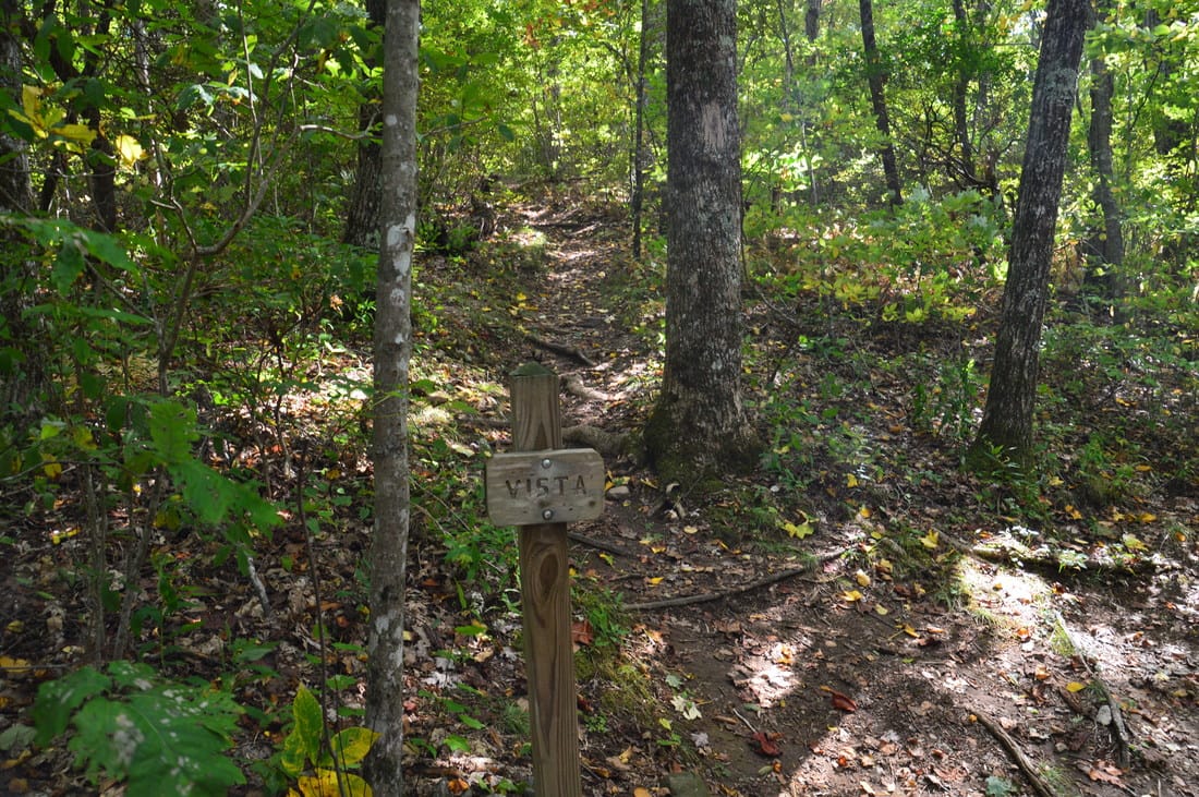
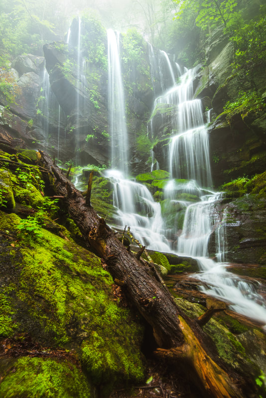
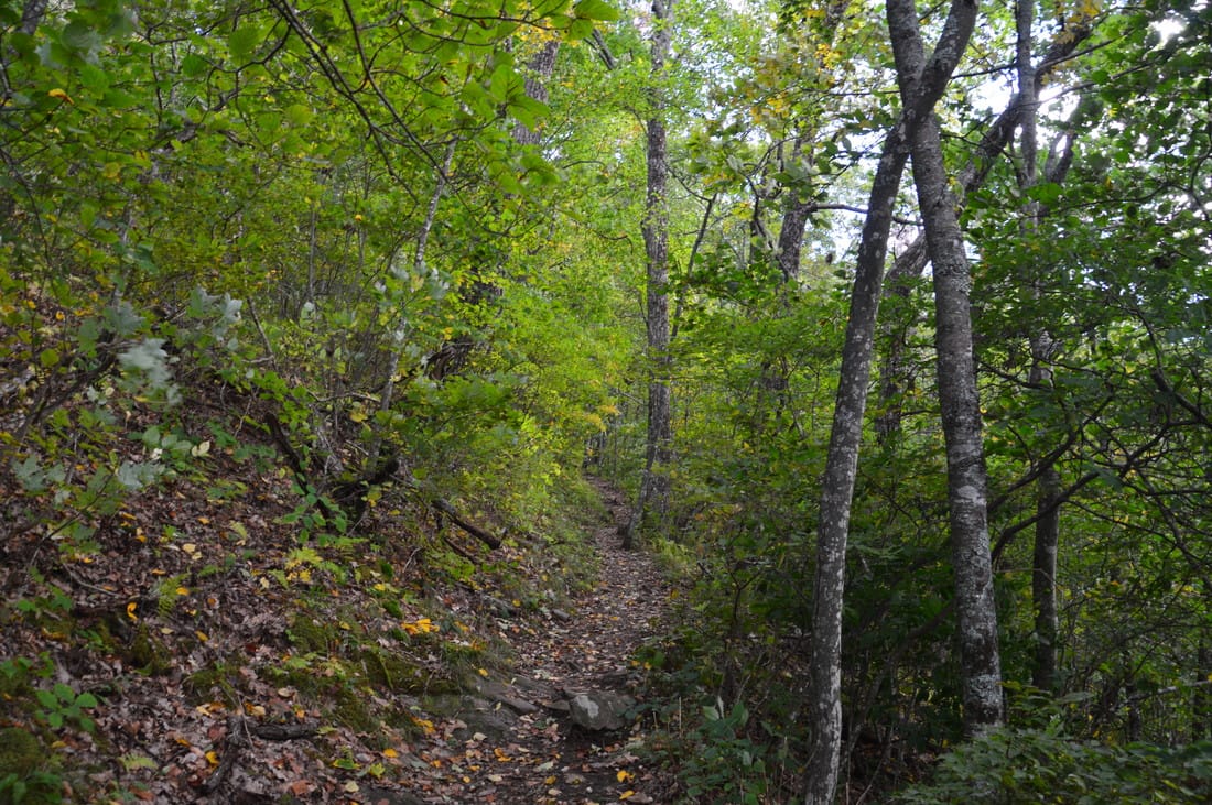
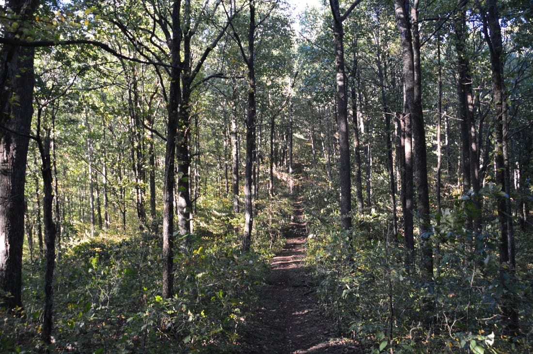
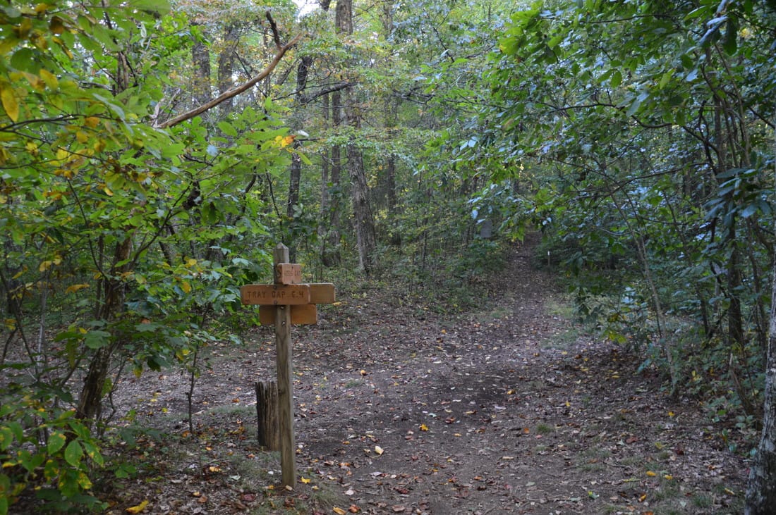
From the parking area at Dicks Creek Gap, take the Appalachian Trail southbound, which leaves the road from the side opposite the parking area (south side of the road). Passing a mileage sign, the trail loses no time in beginning the ascent to a small unnamed knob. passing through a gap near the knob at 0.3 miles. After this, the trail begins ascending the lower portions of Snake Knob. Soon, the trail meets Dicks Creek, which is a very small stream at this point. The trail then follows it, passing a small wet-weather waterfall to the left with a bench in front of it, before crossing the creek. At 0.6 miles, the trail crosses a lead and then actually begins descending towards Shook Branch. I was slightly apprehensive about how this ascent would feel on the way back, as I knew that the hike would involve nearly 4000 feet of elevation gain, but luckily, I was in great shape on this day. At 1.1 miles, a spur trail to the left leaves to water at the head of Shook Branch. After this, the Appalachian Trail resumes the ascent. Reach Moreland Gap at 1.25 miles; a nice campsite lies to the right of the trail. 

Following Moreland Gap, the trail makes a lengthy moderate ascent to Powell Mountain. The trail passes through a rhododendron tunnel near the summit and then passes just west of the high point at 2.35 miles, before dropping into McClure Gap at 2.5 miles. Then, the trail ascends to an unnamed knob just east of Wolfstake Knob. At 2.65 miles, near the top of the unnamed knob, a blue-blazed spur trail signed "Vista" leaves to the left. This spur trail leads to the Wolfstake Knob Overlook. A curious thing is that despite being widely referred to as the Wolfstake Knob Overlook, this view is actually from the unnamed knob just east of Wolfstake Knob. 
Picture
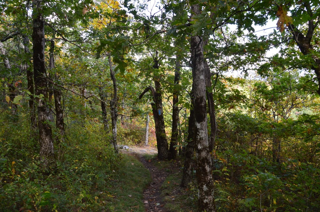
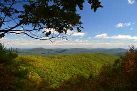
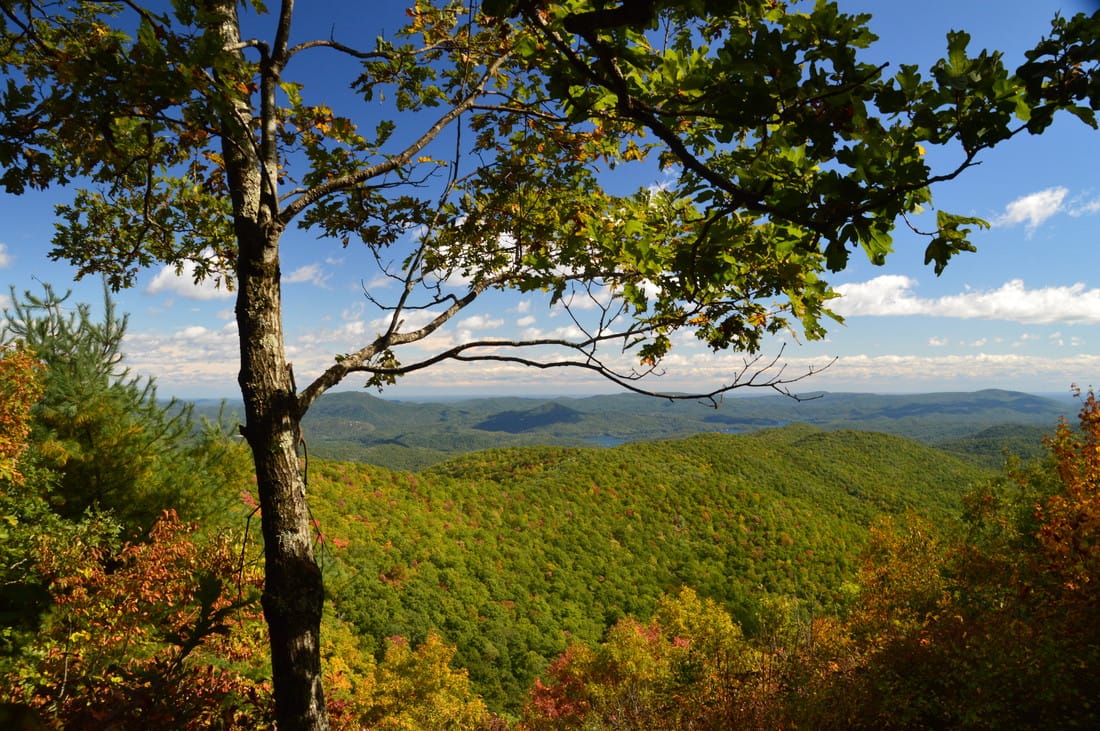
Approaching the Wolfstake Knob vista
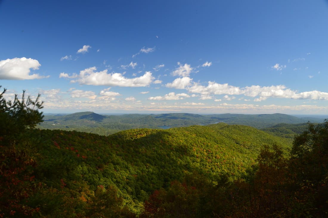
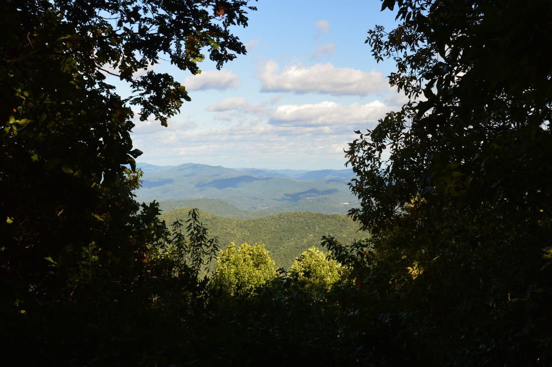
Tale the spur trail. Pass over the summit of the knob, where there is a campsite, and then drop down to a rock ledge at 2.75 miles. This ledge, at the end of the spur trail, provides the Wolfstake Knob Overlook - a great view to the east into Rabun County and towards Lake Burton. The view is somewhat similar to the east view near the summit of Tray Mountain, and that view might actually be better, although the Wolfstake Knob Overlook is lower and puts some closer details in view. 

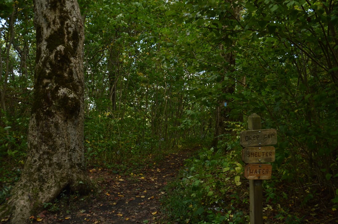
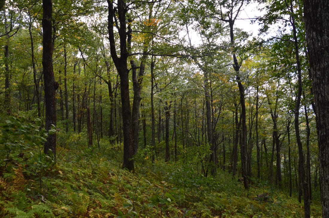
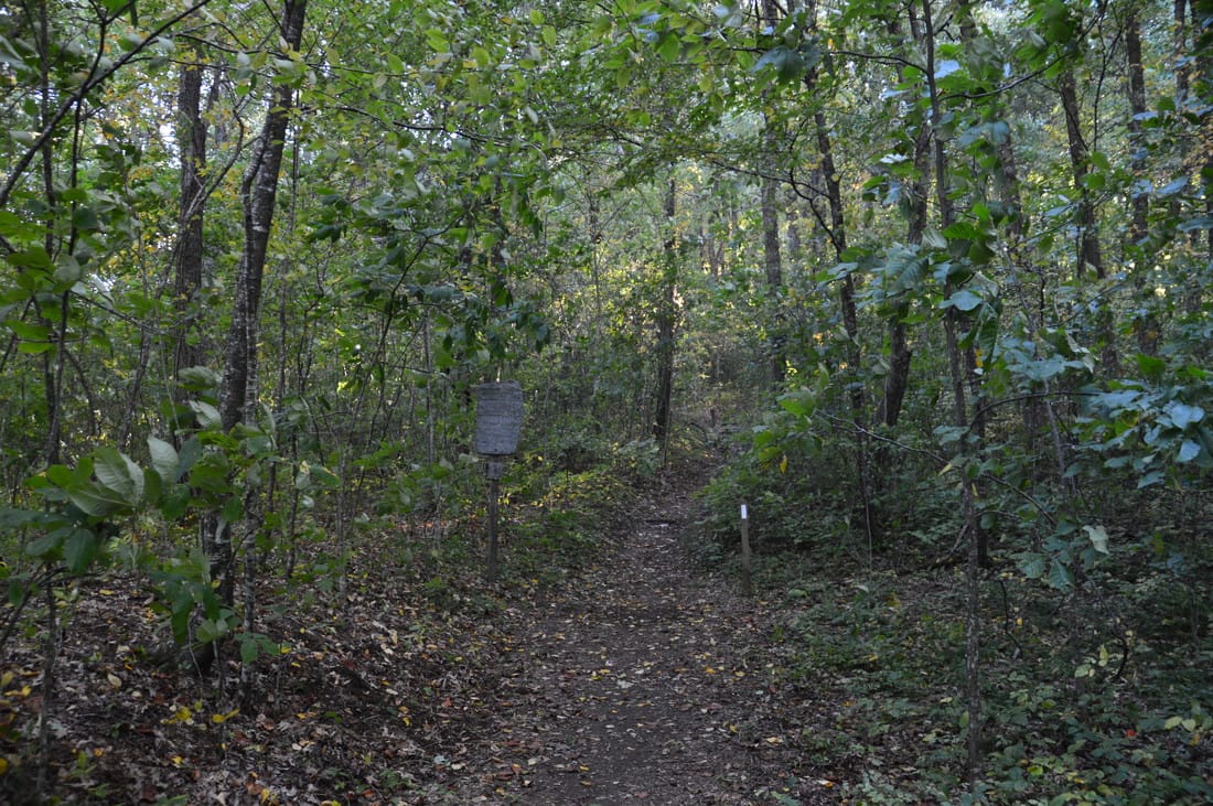
Beyond the Wolfstake Knob Overlook, there is little to see throughout the rest of the hike, if you're looking for outstanding points of interest. There is also a lot of elevation change beyond Wolfstake Knob, but my plan was to hike the section for the sake of completion, and despite there not being much to see, it is still a nice section of trail. From the Wolfstake Knob Overlook, return to the Appalachian Trail at 2.85 miles and turn left onto it. The trail descends into a gap and then skirts Wolfstake Knob itself to the south. A brief ascent brings the trail to a low point on a lead that extends south from Wolfstake Knob. Then, the AT descends moderately into Deep Gap, reaching the gap at 3.8 miles. There may be some good winter views to the west. 

At Deep Gap, I decided to do the quick extension to Deep Gap Shelter. Turn left onto the signed blue-blazed spur trail to the shelter. The spur trail continues a gradual descent. At 4.0 miles, a signed path leads to water. The trail ends at the Deep Gap Shelter at 4.1 miles. This is a fairly small shelter, but it does have two "stories". There is also a picnic table and a large arae of campsites around the shelter. Personally though, I prefer the campsites in Moreland Gap and near Wolfstake Knob rather than at the Deep Gap Shelter, as the former two sites are located on the ridge and I would always prefer a ridge/summit campsite over all others.  
Picture
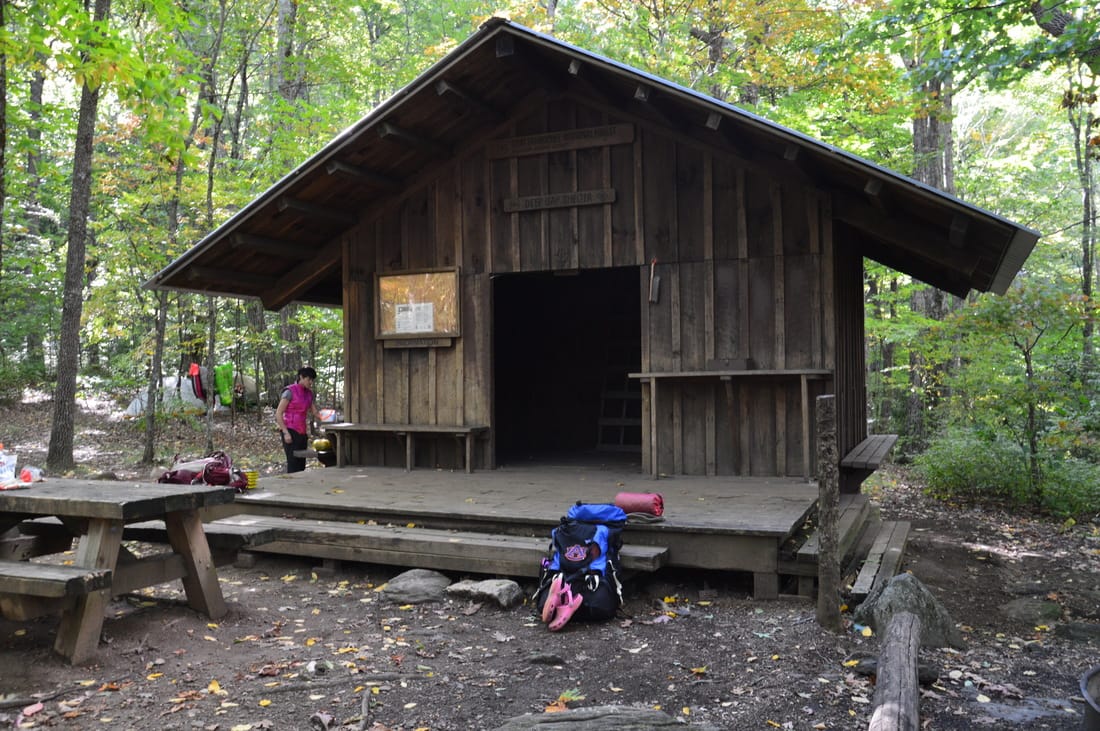
The Deep Gap Shelter is one of two Appalachian Trail shelters between Unicoi Gap and Dicks Creek Gap
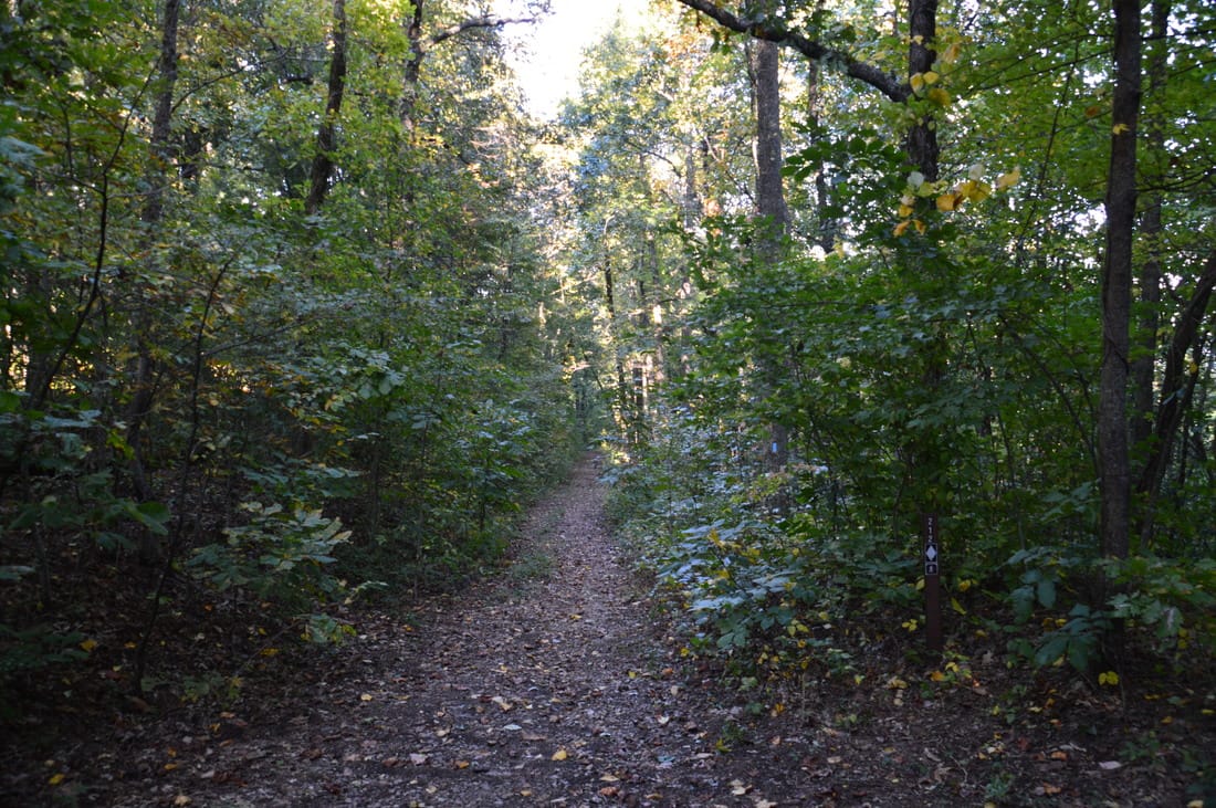
From the Deep Gap Shelter, retrace your steps to the AT and turn left to continue hiking toward Addis Gap. This is where a lengthy ascent to Kelly Knob begins (although the trail never does actually reach the summit). With some winter views, the trail passes to the west of Dismal Knob and passes through Dismal Gap, below Kelly Knob, at 4.9 miles. After this, the moderate ascent continues as the trail skirts Kelly Knob to the east and reaches a high point on a ridge below the summit of Kelly Knob at 5.25 miles. It is worth noting that some maps show Kelly Knob as Double Spring Knob. From the high point on the ridge, there is a small opening in the trees to the left of the trail, with a view to the east. 

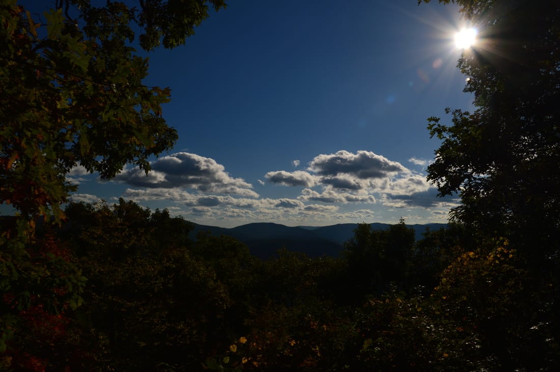
Following the high point, most of the rest of the trail to Addis Gap is downhill, and some of it is quite steep. In the next mile, the trail descends about 800 feet. At 5.6 miles, an opening in the trees provides a decent view to the west into the Swallow Creek Wildlife Management Area. This is the best west view on the hike, and it is the only year-round view to the west. The trail becomes steeper following this view. At 6.25 miles, the AT reaches Addis Gap. There are several well-used campsites to the right of the trail in the gap. 
Picture
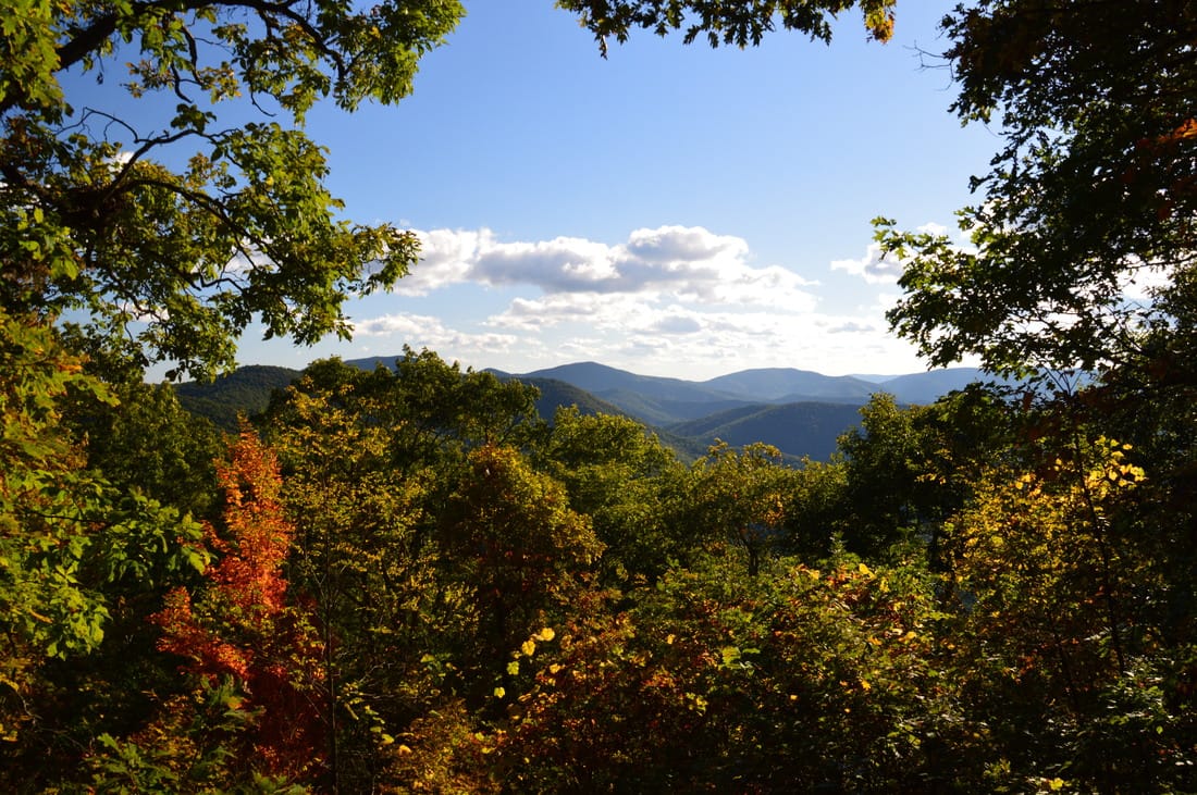
A small opening in the trees provides a view into the Swallow Creek Wildlife Management Area to the west from the Appalachian Trail near Kelly Knob
In Addis Gap, a blue-blazed side trail leads to South Fork Moccasin Creek and to a trailhead at the end of Wildcat Creek Road. This trailhead can be used to split into  half the long roadless segment of the Appalachian Trail between Tray Gap and Dicks Creek Gap. Also, in Addis Gap, an old roadbed leaves to the right into the Swallow Creek WMA and soon enters the Mill Creek watershed, where a couple of waterfalls may be seen. I have yet to see these waterfalls or verify what is the best access point for them. Additionally, you can continue on the Appalachian Trail to Tray Mountain via Round Top and Young Lick; there are several great viewpoints on Tray Mountain. However, for this day hike, Addis Gap is your turnaround point. Simply retrace your steps back to Dicks Creek Gap along the Appalachian Trail. The first part of the route back (the ascent back up Kelly Knob) will have you breathing hard. You will eventually return to your car at Dicks Creek Gap at 11.7 miles, concluding the hike. 

Mileage

0.0 - Dicks Creek Gap Trailhead 
1.25 - Moreland Gap 
2.35 - Powell Mountain 
2.5 - McClure Gap 
2.75 - Wolfstake Knob Overlook 
3.8 - Deep Gap 
4.1 - Deep Gap Shelter 
5.25 - High point near Kelly Knob 
5.6 - View west 
6.25 - Addis Gap 
11.7 - Dicks Creek Gap Trailhead 

Variations

Hike out and back to Wolfstake Knob Overlook - 5.5 Miles 
Hike out and back to Deep Gap Shelter (including Wolfstake Knob side trip) - 8.0 Miles 
​Hike out and back to Tray Mountain (including Wolfstake Knob and Deep Gap side trips) - 18.7 Miles 

Bonus Stops

Near Hiawassee, the summit of Bell Mountain can be reached by a steep paved road. There is an incredible 360-degree view from the summit. 

Pictures

Videos

0 Comments


Leave a Reply.

    About Me

    Mark Oleg Ozboyd
    I'm an avid outdoor explorer and a hobbyist landscape photographer. I'm 21 years old and have been hiking since 2011. Originally based out of Atlanta, Georgia, I started out by occasionally hiking short trails throughout well-known Georgia State Parks. During 2012 and 2013, I began to expand my trips into adjacent states, as well as into the wilder National Forest areas rather than just State Parks. Throughout the years that followed, as I slowly ran out of popular hiking trails in my area, I began to search for and hike in more seldom-visited areas. Today, you can find me out in the woods every weekend, whether it's on an official trail or bushwhacking through cross-country terrain without any paths. I now attend Washington & Lee University and am exploring Virginia and West Virginia. My other hobbies include chess, science, old music, and meteorology. I have 3 years of amateur weather forecasting experience, having studied a lot of meteorology basics over the years. I am also a student at European School of Music where I learned that music and nature have a lot in common. Listening to good music inspires me to capture nature's beauty on the camera in different aspects that also make me recall many beautiful music pieces that I've heard.​


    Dear readers: I have invested a tremendous amount of time and effort in this website and the Georgia Waterfalls Database the past five years. All of the work that has gone in keeping these websites updated with my latest trip reports has almost been like a full-time job. This has not allowed me to pick up a paid job to save up money for college, and therefore, I I've had to take out loans. If you find the information on this website interesting, helpful, or time-saving, you can say "thanks" and help me out by clicking the button above and making a contribution. I will be very grateful for any amount of support you give, as all of it will apply toward my college tuition. Thank you! 

    Enter your email address to subscribe for trail reports:

    Delivered by FeedBurner


    Picture
    Coming in 2022-2023?

    Other Hiking Websites

    DWHike's Adventures
    Florida's Natural Wonders
    Florida Trailblazer
    Meanderthals
    Mountain Images
    by Bernie Boyer

    North Carolina Waterfalls with
    ​Kevin Adams
    Take-a-Hike!
    Tennessee Landforms
    Waterfall Page
    Waterfall Adventurer
    Zach's Mild Adventures

    Miles Hiked

    Year 1: 540.0 Miles
    Year 2: 552.3 Miles
    ​Year 3: 518.4 Miles
    Year 4: 482.4 Miles
    Year 5: 259.9 Miles

    Archives

    March 2021
    February 2021
    January 2021
    November 2019
    October 2019
    September 2019
    August 2019
    July 2019
    June 2019
    February 2019
    January 2019
    December 2018
    November 2018
    October 2018
    August 2018
    July 2018
    June 2018
    May 2018
    April 2018
    March 2018
    February 2018
    January 2018
    December 2017
    November 2017
    October 2017
    September 2017
    August 2017
    July 2017
    June 2017
    May 2017
    April 2017
    March 2017
    February 2017
    January 2017
    December 2016
    November 2016
    October 2016
    September 2016
    August 2016
    June 2016
    May 2016
    April 2016
    March 2016
    January 2016
    December 2015
    November 2015
    October 2015
    September 2015
    August 2015
    July 2015
    June 2015
    May 2015
    April 2015
    March 2015
    February 2015
    January 2015
    December 2014
    November 2014
    October 2014
    September 2014
    August 2014
    July 2014
    June 2014
    May 2014
    April 2014
    March 2014
    February 2014

    Categories

    All
    Adel
    Adirondack Park
    Alabama
    Alfred A. Ring Park
    Allegheny Trail
    Amicalola Falls State Park
    Anniston Area
    Apalachicola Bluffs And Ravines Preserve
    Apalachicola National Forest
    Apalachicola/Port St. Joe Area
    Apopka
    Appalachian Trail
    Appling
    Art Loeb Trail
    Aska Trail System
    Bakersville
    Balm-Boyette Scrub Preserve
    Balsam Lake Recreation Area
    Bankhead National Forest
    Bartow County Parks
    Bartram Trail
    Basinger
    Beersheba Springs
    Benton
    Benton Mackaye Trail
    Berry College Trail System
    Best Hike
    Big South Fork National Recreation Area
    Black Bear Wilderness
    Black Rock Mountain State Park
    Blairsville
    Blakely
    Blood Mountain Wilderness
    Blowing Rock
    Blue Ridge
    Blue Ridge Parkway
    Boone
    Bradenton
    Bradenton Beach
    Brasstown Bald
    Brasstown Wilderness
    Brevard
    Bryson City
    Buchanan
    Bucks Pocket State Park
    Bulow Creek State Park
    Bulow Plantation Ruins State Park
    Caesars Head State Park
    Caladesi Island State Park
    Calhoun
    Camel's Hump State Park
    Cashiers
    Caspersen Beach Park
    Catfish Creek State Park
    Caves
    CC Putnam State Forest
    Cedar Point Environmental Park
    Chatsworth
    Chattahoochee National Forest
    Chattanooga
    Chattanooga Valley
    Chattooga National Wild And Scenic River
    Cheaha Wilderness
    Cherohala Skyway
    Cherokee
    Cherokee National Forest
    Chiefland Area
    Chillhowee Recreation Area
    Chipley
    Chunky Gal Trail
    Circle B Bar Reserve
    Citico Creek Wilderness
    Citrus Wildlife Management Area
    Clarkesville
    Clayton
    Cleevland
    Cleveland
    Cloudland Canyon State Park
    Cohutta Wilderness
    Collier-Seminole State Park
    Cordele
    Cornelia
    Covington
    Crestview Area
    Crew-land-and-water-trust
    Cullowhee
    Cumberland Trail
    Dahlonega
    Dalton
    Dawson Forest Wildlife Management Area
    Dawsonville
    Dayton
    De Soto National Memorial
    DeSoto State Park
    Dillard
    Double Springs
    Ducktown
    Duncan Ridge Trail
    Dunlap
    Eagle's Rest Park
    Eastpoint
    Econfina Creek Wildife Management Area
    Eglin Air Force Base
    Elizabethton
    Elkins
    Elk Knob Game Lands
    Elk Park
    Ellicott Rock Wilderness
    Ellijay
    Emerson Point Preserve
    Englewood Area
    Enota Retreat
    Erwin
    Falling Waters State Park
    Fayetteville
    Fires Creek Recreation Area
    Fire Tower
    Flint River
    Florence Area
    Florida
    Florida Caverns State Park
    Florida Trail
    Foothills Trail
    Fort Mountain State Park
    Fort Myers Area
    Fort Payne
    Fort Payne Area
    Fort Yargo State Park
    Franklin
    Franklin Delano Roosevelt State Park
    Franklin-Marion State Forest
    Frozen Head State Park
    Gainesville
    Gainesville Area
    Gatlinburg
    George Washington National Forest
    Georgia
    Georgia Veterans Memorial State Park
    Glasgow
    Gorges State Park
    Grandfather Mountain State Park
    Great Smoky Mountains National Park
    Greeneville
    Green River Game Lands
    Gruetli-Laager
    Grundy Forest State Natural Area
    GTM Reserve
    Guana River Wildlife Management Area
    Hayesville
    Helen
    Hiawassee
    High Falls State Park
    Highlands
    Highlands Scenic Highway
    Hillsborough River State Park
    Hinson Conservation & Recreation Area
    Historic Sites
    Honeymoon Island State Park
    Hot Springs
    Huntington
    Inverness Area
    Jackson
    Jasper
    Jefferson National Forest
    Joan M. Durante Park
    Jonathan Dickinson State Park
    Jones Gap State Park
    Joyce Kilmer Slickrock Wilderness
    Joyce Kilmer - Slickrock Wilderness
    Juniper Prairie Wilderness
    Kelly Park
    Keown Falls Recreation Area
    Kolomoki Mounds State Park
    LaFayette
    Lake City Area
    Lake George Wild Forest
    Lake June-in-Winter State Park
    Lakeland Area
    Lake Placid
    Lake Russell Wildlife Management Area
    Lake Wales Ridge State Forest
    Laurel Fork North Wilderness
    Leffis Key Preserve
    Leon Sinks Geological Area
    Lexington
    Lineville
    Linville
    Linville Gorge Wilderness
    Lithia Springs
    Little Frog Wilderness
    Little Manatee River State Park
    Little River Canyon National Preserve
    Longboat Key
    Long Trail
    Lookout Mountain
    Lookout Mountain Battlefield
    Lovingston
    Lula Lake Land Trust
    Lumpkin
    Maggie Valley
    Manatee Springs State Park
    Marianna Area
    Mark Trail Wilderness
    Marlinton
    Mccaysville
    McMinville
    Mentone
    Middlesex
    Mistletoe State Park
    Monongahela National Forest
    Montreat
    Mountain Bridge Wilderness Area
    Mountain City
    Mountains To Sea Trail
    Mountains-to-Sea Trail
    Mount Rogers National Recreation Area
    Myakka River State Park
    Myron B. Hodge City Park
    Nantahala National Forest
    Naples
    Naples Area
    Natural Bridge State Park
    Neal Preserve
    New Castle
    Newport
    New River Gorge National Park
    New York
    North Carolina
    Ocala Area
    Ocala National Forest
    Ocean-to-Lake Trail
    Oconee State Park
    Oconee Station Historic Site
    Okaloacoochee Slough State Forest
    Oldsmar
    Oneida
    Orlando Area
    Ormond Beach
    Oscar Scherer State Park
    Oxford
    Palatka
    Palmetto Trail
    Panama City Area
    Panthertown Valley
    Parrish
    Paynes Creek Historic State Park
    Peaks Of Otter Recreation Area
    Pigeon Crockford Mountain Wildlife Management Area
    Pigeon-Crockford Mountain Wildlife Management Area
    Pigeon-Crockford Wildlife Management Area
    Pine Mountain
    Pinhoti Trail
    Pinnacle Park
    Pisgah Civitan Park
    Pisgah National Forest
    Pittman Center
    Pond Mountain Wilderness
    Ponds/Lakes
    Prentice Cooper State Forest
    Providence Canyon State Park
    Pumpkintown
    Quick Point Nature Preserve
    Raven Cliffs Wilderness
    Reed Bingham State Park
    Reliance
    Rice Creek Conservation Area
    Riverview Pointe Preserve
    Robbinsville
    Robinson Preserve
    Rock Creek Gorge Scenic Area
    Rock Island State Park
    Rome
    Rosman
    Sale Creek
    Salem
    Salt Springs
    Saluda
    Santa Rosa Beach
    Sarasota
    Sarasota Area
    Savage Gulf State Natural Area
    Scenic Views
    Scottsboro Area
    Sebring Area
    Sewanee
    Sheltowee Trace Trail
    Shining Rock Wilderness
    Signal Mountain
    Sipsey Wilderness
    Sky Valley
    Smithgall Woods State Park
    Snowbird Backcountry Area
    Soddy Daisy
    Soddy-Daisy
    Sopchoppy
    South Carolina
    South Cumberland State Park
    Southeastern Cave Conservancy
    Southern Nantahala Wilderness
    Sparta
    Sprewell Bluff Park
    Spring City
    Spring Hill
    Springs
    Spruce Pine
    Standing Indian Backcountry Area
    St. Augustine
    St. George Island State Park
    St. Joseph Bay State Buffer Preserve
    St. Marks Area
    St. Marks National Wildlife Refuge
    Stone Mountain
    Stone Mountain Park
    Suches
    Sumatra
    Sumter National Forest
    Suwannee River
    Swallow Creek Wildlife Management Area
    Sweetwater Creek State Park
    Sylva
    Talladega National Forest
    Tallahassee Area
    Tallulah Falls
    Tallulah Gorge State Park
    Tampa Bay Area
    Tate City
    Tate's Hell State Forest
    Tea Creek Wildlife Management Area
    Tellico Plains
    Tennessee
    Thomaston
    Toccoa
    Topsail Hill State Park
    Torreya State Park
    Townsend
    Tracy City
    Tray Mountain Wilderness
    Trenton
    Triple Creek Preserve
    Troutdale
    Unaka Mountain Wilderness
    Upper Tampa Bay County Park
    Venice
    Vermont
    Virgin Falls State Natural Area
    Virginia
    Virginia Outdoors Foundation
    Vogel State Park
    Wakulla Springs State Park
    Waleska
    Walhalla
    Wartburg
    Water Features
    Waynesville
    Weedon Island Preserve
    Weeki Wachee Preserve
    Wekiwa Springs State Park
    West Palm Beach Area
    West Virginia
    Whitehall
    White Springs
    Winder
    Withlacoochee State Forest
    Young Harris

    RSS Feed

TRAIL REPORTS

Hikes in Alabama
​Hikes in Florida
Hikes in Georgia
Hikes in North Carolina
Hikes in South Carolina
Hikes in Tennessee
Hikes in Virginia

Hiking Resources

Alabama Resources
​
Florida Resources
Georgia Resources
North Carolina Resources
​South Carolina Resources
​
Tennessee Resources

Other

Contact
Map of Hikes
Alphabetical List of Hikes
Southeast Nature Society
© COPYRIGHT 2014-2018
​ALL RIGHTS RESERVED.
Important: I disclaim any responsibility for any damage or personal injury that may occur as a result of the activities and information found on this website. All outdoor activities, especially off-trail hiking, are done at your own risk. Never hike or head into that area that may be above your fitness or experience level.
  • Home
  • Trail Reports
    • Best Hikes
    • Hikes with Scenic Views
    • Hikes with Water Features
    • Alabama
    • Georgia
    • Florida
    • North Carolina
    • South Carolina
    • Tennessee
    • Vermont
    • Virginia
  • Map
  • Hike List
  • Testimonials
  • Resources
  • Contact Us
  • Southeast Nature Society
    • Our Team
  • Georgia Waterfalls Database