
One of Georgia's most scenic hikes is along the Appalachian Trail from Neels Gap to Hogpen Gap. Along this section of the AT, the famed long-distance footpath passes over several summits that offer outstanding long-range vistas. Along the way, you will first walk along the only piece of the AT that passes under a building, at the Walasi-Yi Interpretive Center. Afterwards, you will hike across Levelland Mountain, Wolf Laurel Top, Cowrock Mountain, and Wildcat Mountain, each of which has its own breathtaking view (or several). This hike occurred on Saturday, February 11th, 2017. My plan was to hike the Byron Herbert Reece Trail from US 129 to the Appalachian Trail. There, I would pick up the Appalachian Trail and follow it through Neels Gap and to Hogpen Gap. Along the way, I would make side trips to views on Levelland Mountain and Cowrock Mountain. I arranged to have two cars for this point-to-point hike: one car was placed at the Byron Herbert Reece Trailhead and another car was placed at the Hogpen Gap Trailhead.
Summary
R/T Length of Trail: 9.4 Miles
Duration of Hike: 6:30 Type of Hike: Point-to-Point Difficulty Rating: 7 out of 10 Total Elevation Gain: 3143 Feet Pros: Well-groomed trail helps to mitigate the effects of the elevation gain Cons: Levelland Mountain vistas require minor bushwhacks; Byron Herbert Reece parking area fills up fast on weekends Points of Interest: Levelland Mountain Vistas - N/A (cannot be rated due to foggy conditions when I was there); Wolf Laurel Top Vista - 2 stars; Cowrock Mountain Vistas - 10 stars collectively; Wildcat Mountain Vista - 3 stars Trail Blaze Colors: Byron Herbert Reece Trail - Blue; Appalachian Trail - White Best Seasons to Hike: Winter Fees: None Beginning Point: Byron Herbert Reece Trailhead Directions from Suches, GA to Hogpen Gap Trailhead: From the intersection of GA 60 and GA 180 in Suches, follow GA 180 East for 11.1 miles. Then, turn left onto US 19/129 North and continue for 2.4 miles, before turning right, continuing on GA 180 East. In another 0.9 miles, turn right onto GA 348 South. Follow GA 348 South for 7.0 miles to the Hogpen Gap parking area, which will be on the left. This is where you will finish this hike. We placed our first car here, and then, we rode over to the Byron Herbert Reece Trailhead, where we placed our second car and began the hike. Directions from Hogpen Gap Trailhead to Byron Herbert Reece Trailhead: Return along GA 348 North to GA 180. After 7.0 miles, turn left onto GA 180 West, and in another 0.9 miles, turn left onto US 19/129 South. Follow US 19/129 South for 4.9 miles. Then, turn right onto the access road to the Byron Herbert Reece Trailhead, and shortly reach the trailhead parking area. This is one of the most popular trailheads in Georgia (due to Blood Mountain) and fills up fast. You may get a ticket if you do not park in a designated space; parking is allowed in designated spaces only. Map
Click here for more information and to download this trail map to view in Garmin Basecamp.
Details
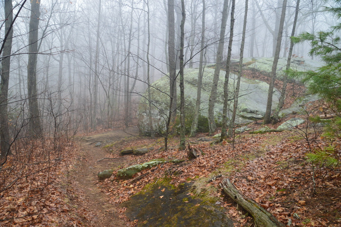
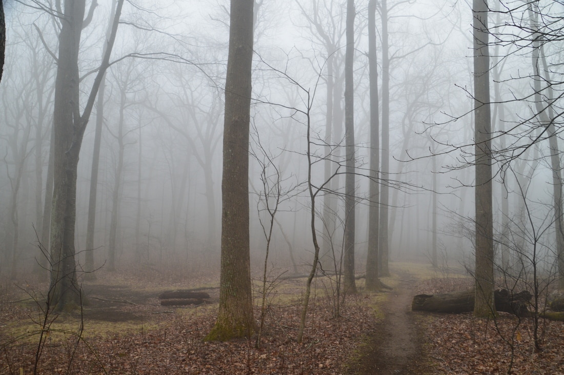
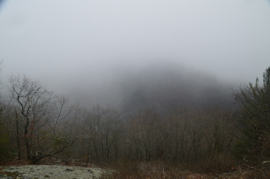
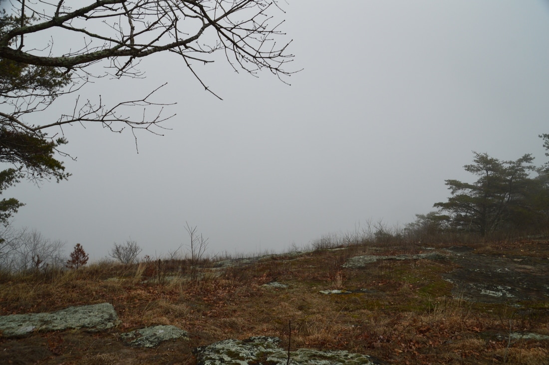
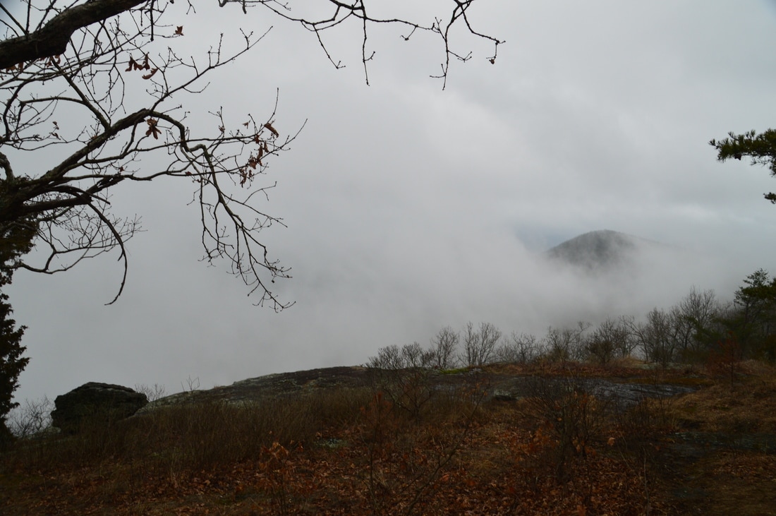
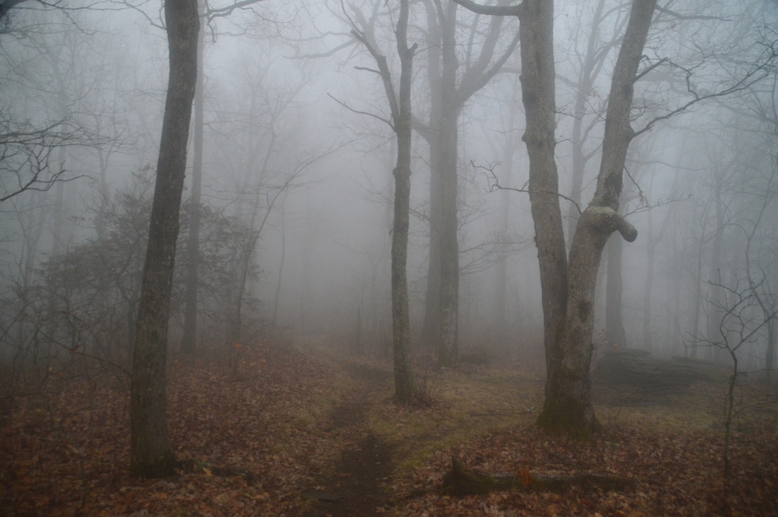
The section of the Appalachian Trail between Neels Gap and Hogpen Gap has always been one of my favorite hikes in Georgia, due to its constant expansive views. On this day, my goal was to scout a couple of undocumented vistas on Levelland Mountain and refresh in my mind the views from Cowrock Mountain. Unfortunately, the weather didn't cooperate, and much of the hike - including Levelland Mountain - was socked into the clouds. Still, I located the bluffs on Levelland Mountain (even though I didn't get to experience the views) and I visited a couple of viewpoints on the trail that were not socked in.
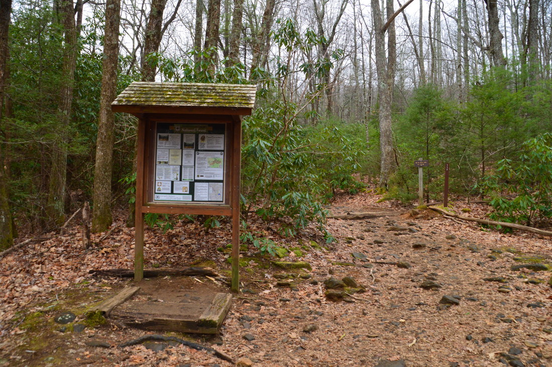
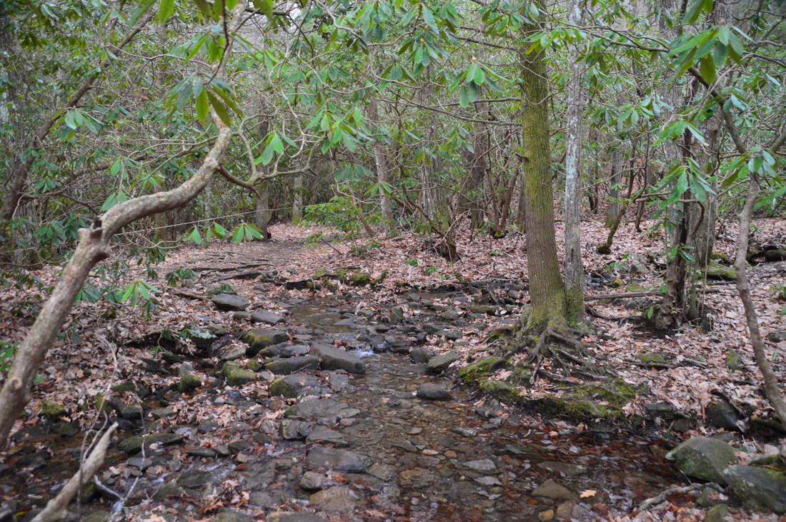
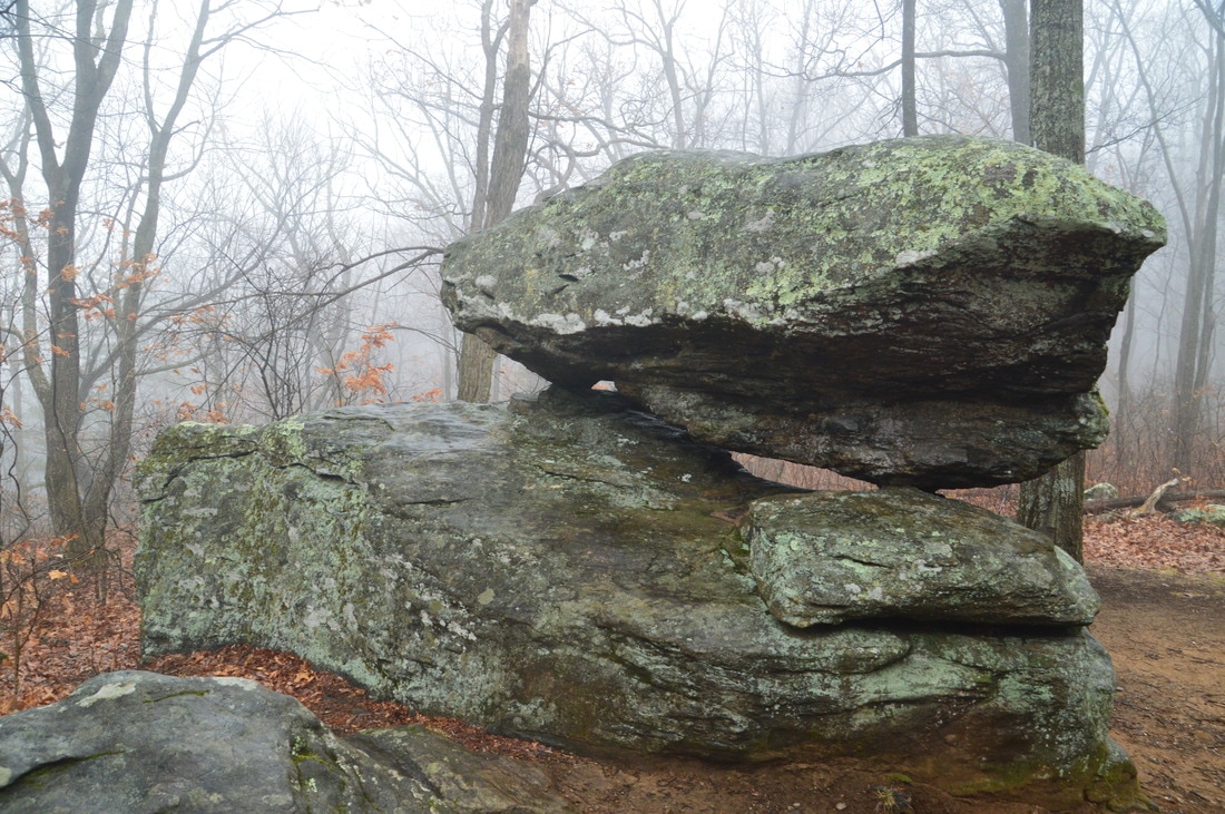
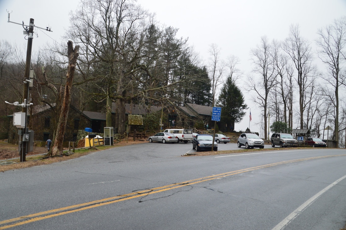
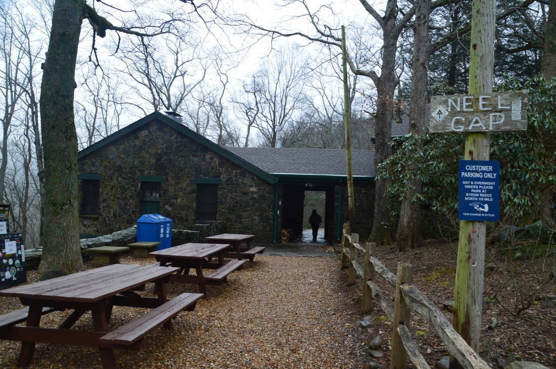
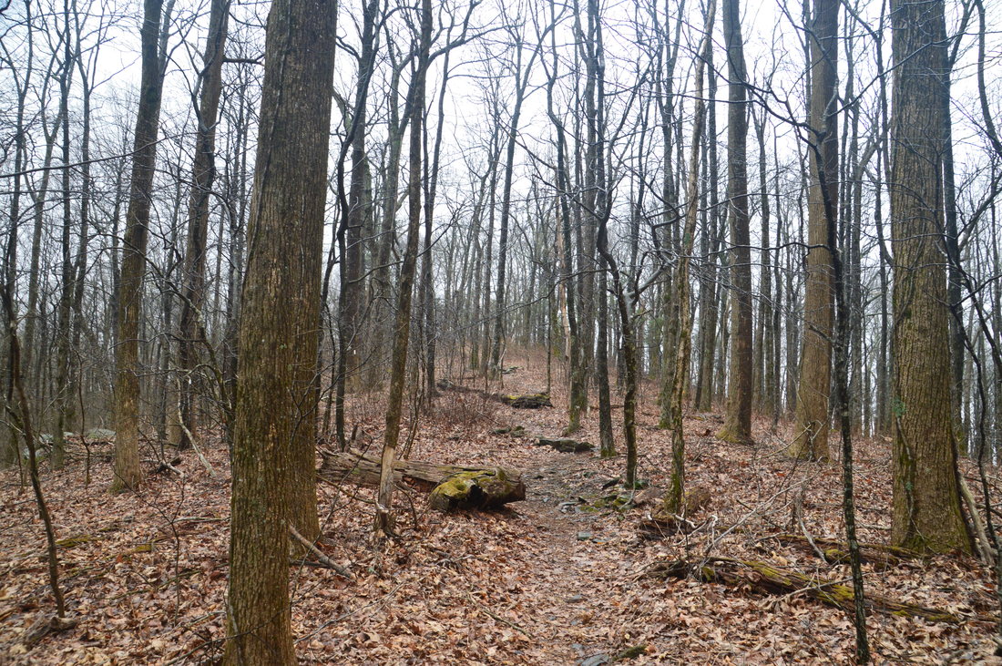
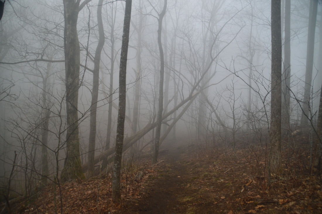
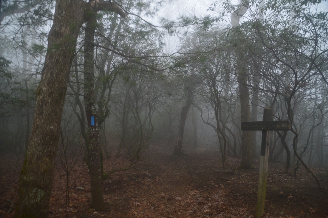
The hike begins on the Byron Herbert Reece Trail, which is a connector trail to the Appalachian Trail. The trail can get very crowded, but fortunately, most of the people that you encounter are going to or returning from Blood Mountain; the rest of the hike is going to have much fewer people, relatively. Pick up the trail at a kiosk and a "Blood Mountain Wilderness" sign. Near the beginning, the trail crosses a branch of Shanty Branch on stepping stones and then begins a moderate ascent. Due to how busy the trail is, certain areas of land next to the trail have been roped off, as they must recover from being overused. The trail itself is constructed very well, and devices such as switchbacks and rock staircases are plentiful. After ascending about 400 feet, the Byron Herbert Reece Trail ends at Flatrock Gap at 0.7 miles. Unfortunately, I entered the fog right around Flatrock Gap, and stayed in it until around Swaim Gap. From the gap, the Appalachian Trail heads right to Blood Mountain and left to Neels Gap, whereas the Freeman Trail heads straight and bypasses Blood Mountain before reconnecting to the AT. For this hike, turn left onto the AT in the direction of Neels Gap. The Appalachian Trail starts out flat, passing Balanced Rock to the right at 0.8 miles. This is a rather unique feature, as one large boulder rests on top of another boulder with a lot of space between the two (other than at a few points). At Balanced Rock, bear left on the AT as a user-created trail leaves right. The trail then descends past a large rock outcrop to the right and into a series of mountain laurel tunnels. The descent is generally well-graded. Uneventfully, the Appalachian Trail reaches Neels Gap at 1.7 miles, exiting the Blood Mountain Wilderness. Carefully cross US 129 and bear left to pass through the white-blazed breezeway of the Walasi-Yi Interpretive Center. This is the only covered place on the entire Appalachian Trail. The Walasi-Yi Interpretive Center was built by the CCC from 1934 to 1937 and served as an inn through the 1960s. Today, the building is known as Mountain Crossings, an outdoor retailer and Appalachian Trail gift store. Unfortunately, hikers and backpackers are not allowed to park at Neels Gap; the parking area is reserved exclusively for Mountain Crossings. 
Mountain Crossings/Walasi-Yi Interpretive Center at Neels Gap is the only covered segment of the entire Appalachian Trail.
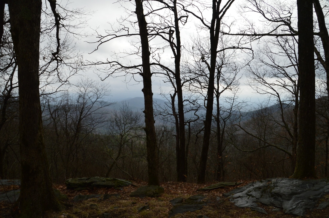
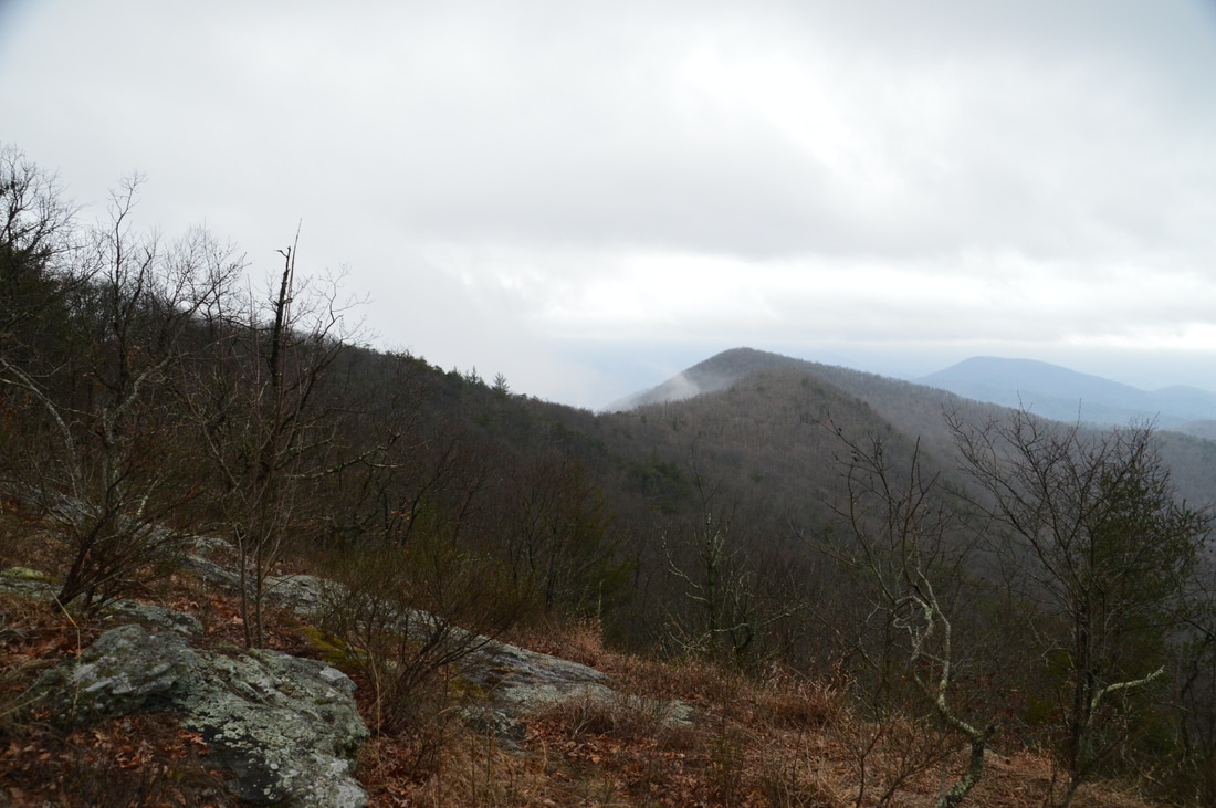
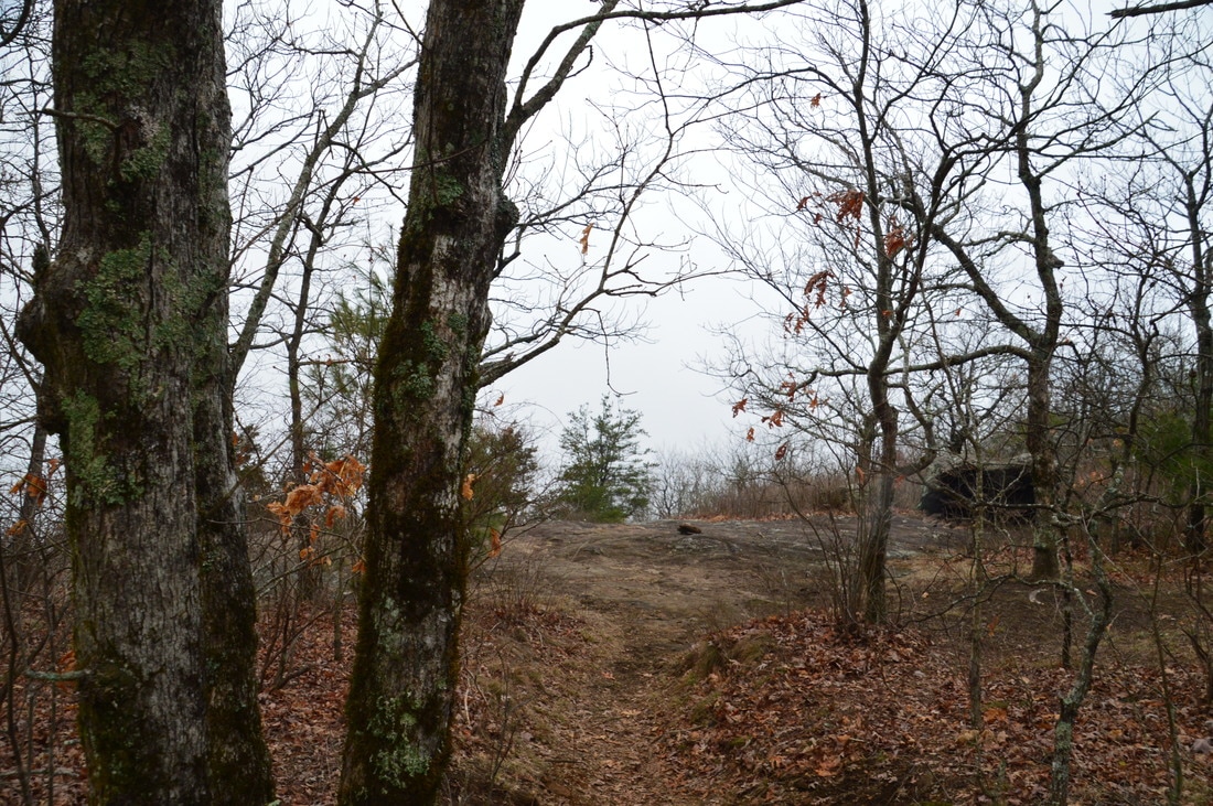
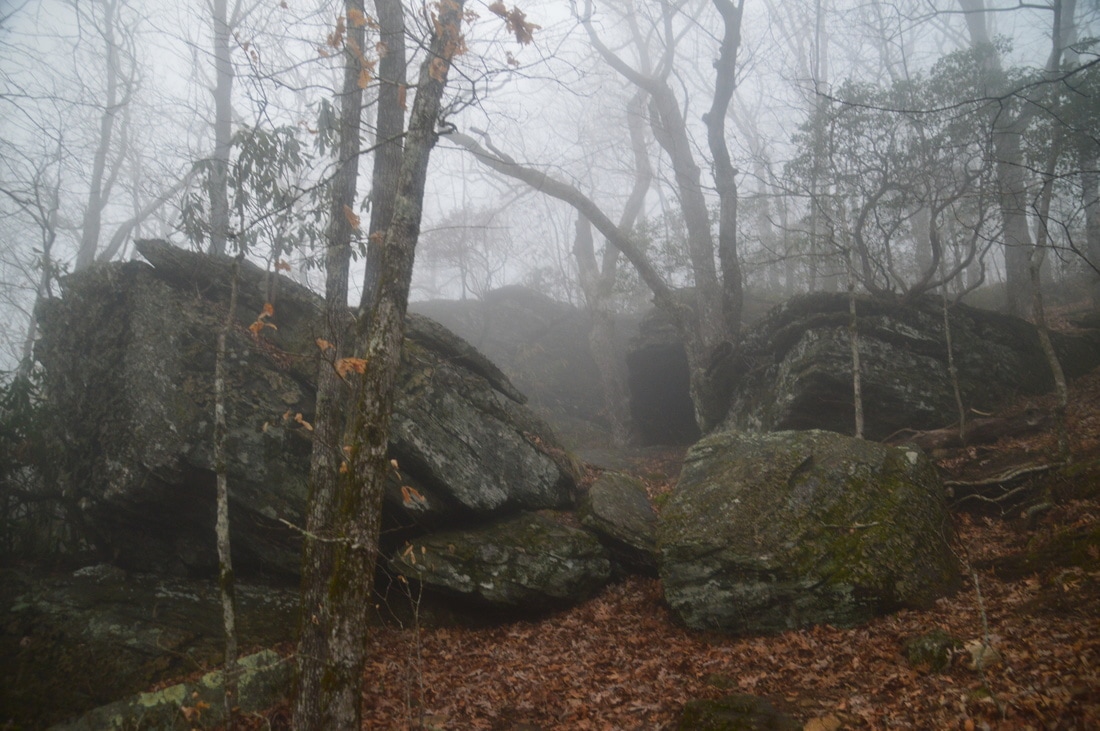
From Neels Gap, the signed Appalachian Trail is obvious as it continues east into the Raven Cliffs Wilderness. This is where the ascent to Levelland Mountain begins. Passing a kiosk, the well-groomed trail utilizes switchbacks to maintain an easy to moderate grade on the ascent. There are several campsites along the way. After circling an unnamed knob, the AT passes through Bull Gap at 2.75 miles and then briefly ascends at a steeper grade before reaching the west summit of Levelland Mountain at 3.25 miles. This is where you want to turn off the Appalachian Trail to reach the north vista on Levelland Mountain. The north vista on Levelland Mountain is likely the worse of the two vistas on the peak (although I cannot make an accurate assessment due to the fog that was present), but it is the only view northward on the hike. From the coordinates N34° 43' 54.4" W83° 53' 59.7", hike off-trail northeastward through open woods down an increasingly steep slope. The best route is along the northeast-bound ridge, as it is even steeper on either side of the ridge. There are no markers to point the way and it is difficult for me to explain the way in further detail, but keep in mind that the rock outcrop with the view is at the 3580-foot level. About a quarter-mile after leaving the Appalachian Trail, reach the rock outcrop with the north view at 3.5 miles. The coordinates for this view are N34° 44' 02.0" W83° 53' 52.5". The view faces northeastward in the direction of Brasstown Bald. There are some trees that might impede the lower part of the view a little bit, but I am confident that it is still a good vista.
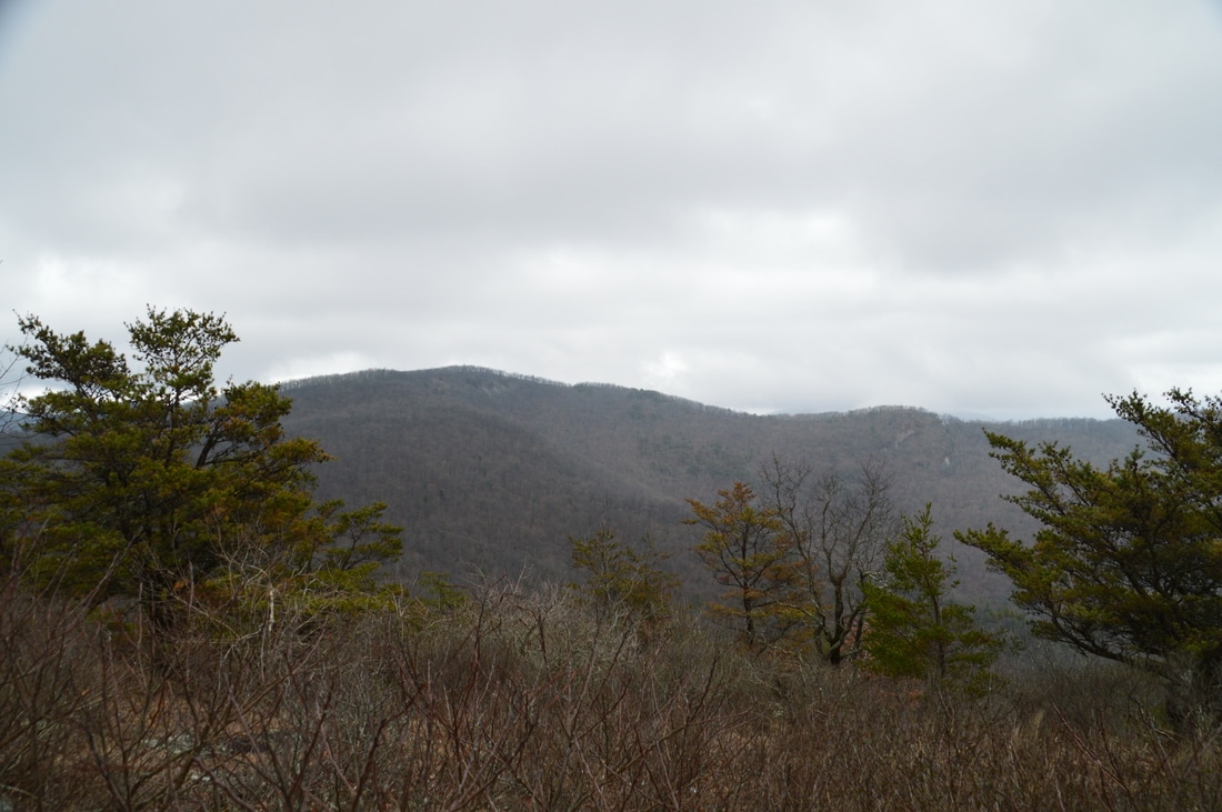
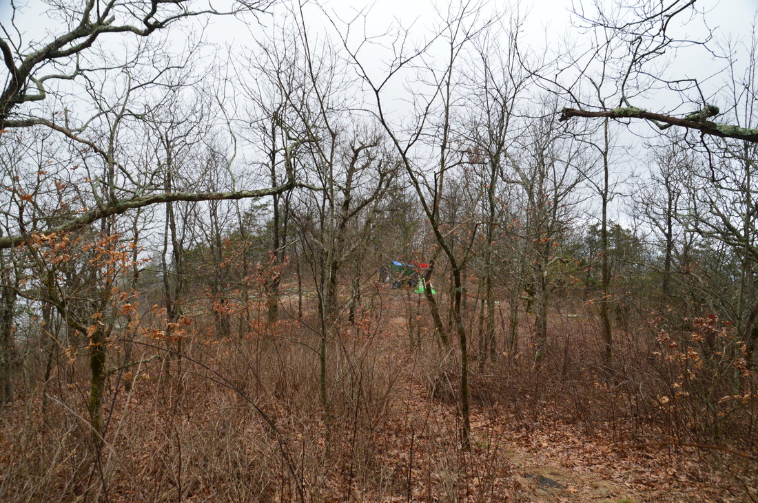
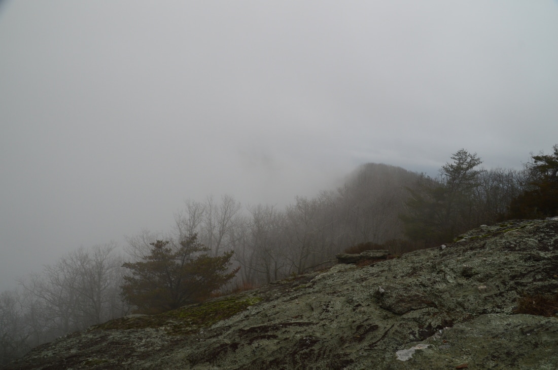
Return back to the AT and continue east along it to the east summit of Levelland Mountain, which is 0.1 miles farther at 3.85 miles. The east summit is characterized by several small rock outcrops and a decent winter view to the south. To reach the cliffs and views on the south side of Levelland Mountain, head off-trail steeply south-southwestward from the east summit and you will reach the cliffs at 3.95 miles. The best place to leave the trail to hike to the south cliffs is at the coordinates N34° 43' 50.5" W83° 53' 54.8", and the south vista is located at the coordinates N34° 43' 49.0" W83° 53' 57.0". Due to the magnitude of the cliffs, I have no doubt that in clear weather, the south vista on Levelland Mountain provides an epic view toward the Piedmont. Return to the Appalachian Trail and continue following it as it begins a moderate and rocky descent off Levelland Mountain. After numerous switchbacks, the trail levels out and passes through Swaim Gap at 4.5 miles, where the fog began to lift, opening up great winter views in both directions. Between Swaim Gap and Cowrock Mountain, the trail followed a rollercoaster pattern as it followed the ridge. Immediately following Swaim Gap, the AT skirted Turkeypen Mountain to the north and then passed a campsite in a gap with a limited view to the south at 5.05 miles. This view is the endpoint of the "Levelland Mountain Hike" in Jim Parham's "Day Hiking the North Georgia Mountains" guidebook. Then, the trail makes a brief ascent to Rock Spring Top, passing near the top at 5.25 miles. Then, the trail descends into a gap, crosses an unnamed knob, descends into another gap, and ascends to Wolf Laurel Top at 5.9 miles. All of these ascents are short and easy. At Wolf Laurel Top, a 150-foot spur trail leads to the right to a campsite at the very summit of the knob. The spur trail is worth doing as it leads to a good view east toward Cowrock Mountain. 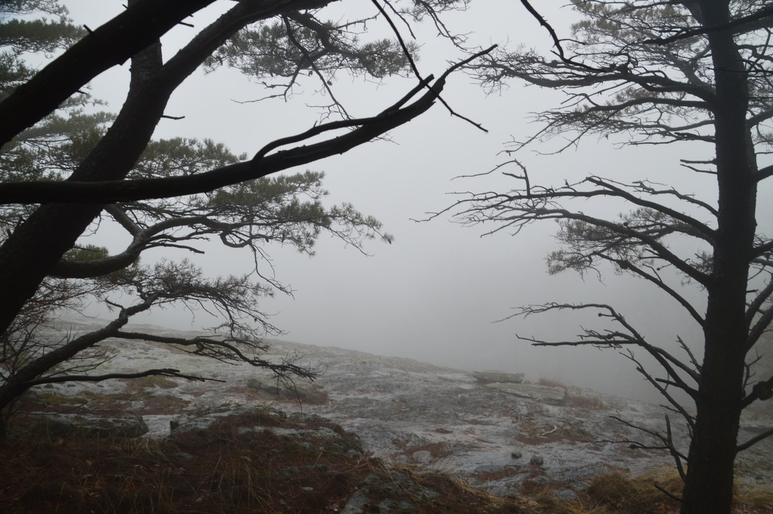
Levelland Mountain has sizable cliffs with great views in clear weather to the south.
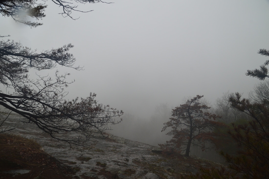
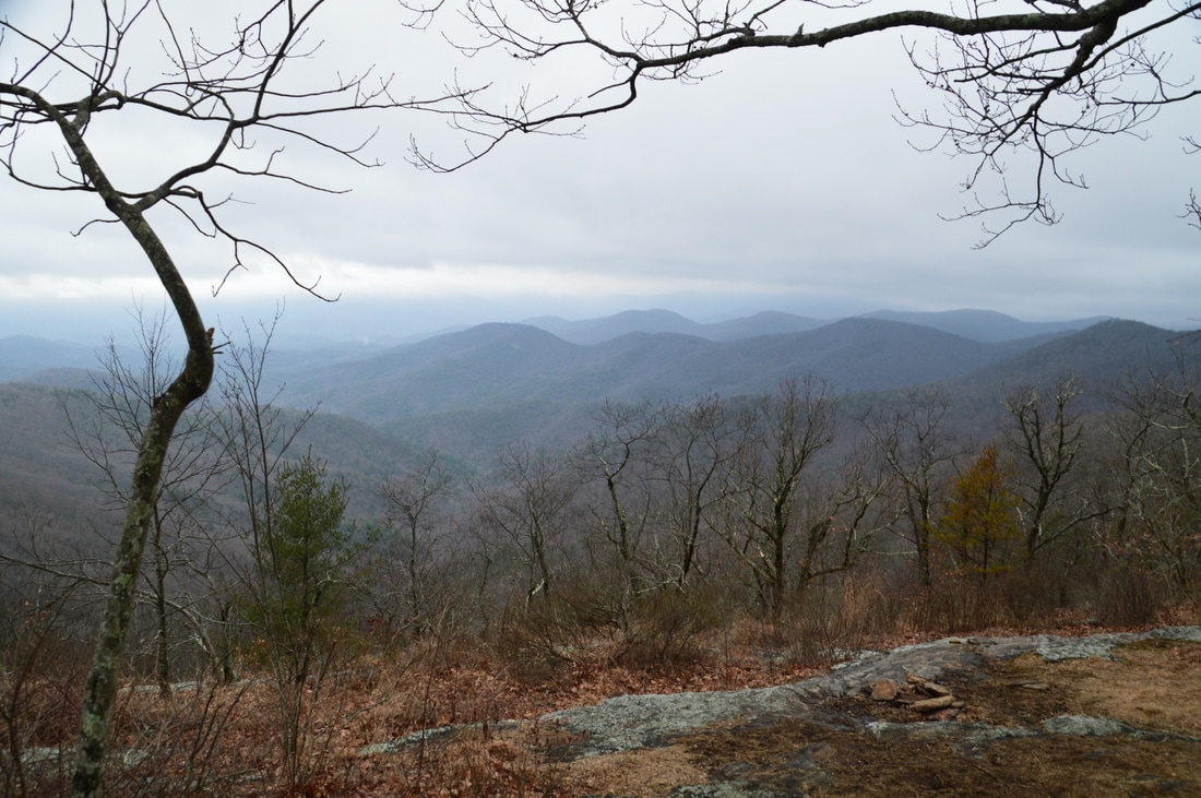
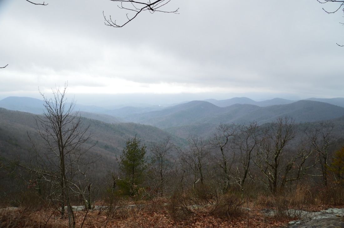
Return to the AT and continue hiking along it as it descends to and passes through Baggs Creek Gap at 6.5 miles. The next ascent is a bit longer (but still easy) as the Appalachian Trail ascends Cowrock Mountain. At 7.15 miles, just to the west of the summit of Cowrock Mountain, reach the first vista on the mountain just to the right of the trail at a campsite. From here, there are great views south and west, and this vista was in fact the only view that was relatively clear on this day. After the west vista, the AT reaches the summit of Cowrock Mountain at 7.25 miles and reaches a large rock slab a few yards farther. This rock slab provides a really great view of Wildcat Mountain, Adams Bald, Mount Yonah, and portions of the Town Creek valley. This is the "classic" view from Cowrock Mountain, and it is the view that most people get to see, as it is right on the trail. It is a good view, although there are some trees and bushes that slightly block the lowermost end of the view. On my first hike to Cowrock Mountain from Neels Gap several years ago, I had thought that this is the only view, and man was I mistaken. What most people do not know is that an unofficial and unmarked side trail leaves the AT and travels south for a quarter-mile past two outstanding overlooks that provide much better views than the official overlook on the AT. Here are the directions to these overlooks. When you're at the large summit rock slab on the AT, note that the AT bears left and downhill back into the woods. To access the overlooks, bear right and walk across the rock slab past a large boulder that rests on the rock slab. At the end of the rock slab, you should see a "goat path" that heads south and begins descending moderately. This is the path that you must take. Descend about 100 feet and follow the path for a tenth of a mile.
At 7.35 miles, reach a large clearing with a campsite. To the left, a large rock face provides the first of the two outstanding vistas on Cowrock Mountain. The views here are to the northeast, east, and southeast. In the foreground, Wildcat Mountain occupies the view. There are some cliffs visible on the mountain that might provide good views back to this point. To the left (northeast), you can see Horsetrough Mountain and Brasstown Bald in the distance. To the right, Adams Bald occupies the foreground, and the pointy peak of Mount Yonah - ringed with a line of cliffs - rises in the distance. What a view! On this day the view was fogged up, but I had visited it several months ago, so I knew what it was like. To reach the next vista, which is arguably even better than this one, pass through the clearing and past the campsite and pick up the well-defined path that continues south along the ridge. Follow it for a bit past a campsite and through a small grassy clearing. You will then see a cliff just ahead. Descend to the top of the cliff, reaching it at 7.45 miles. The Town Creek watershed is laid out straight in front of you. The valley is bordered by two ridges. To the right is Cowrock Flat Moutnain and to the left is a number of peaks including Adams Bald, Rocky Mountain, and Pinnacle Mountain. Beyond the mouth of the Town Creek valley, the rolling hills of Piedmont fade away into the distance. This stunning view is definitely one of the best that I have seen in Georgia and is well worth the hike. Once again, while it was fogged up on this day, I have seen the view previously and it is breathtaking. 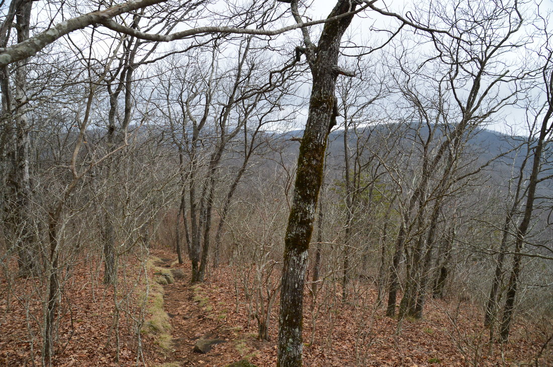
Much of the Appalachian Trail between Neels Gap and Hogpen Gap follows a ridge that provides great views when the leaves are off.
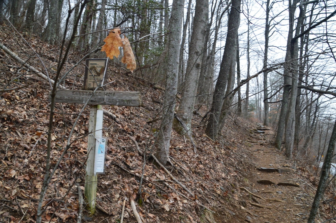
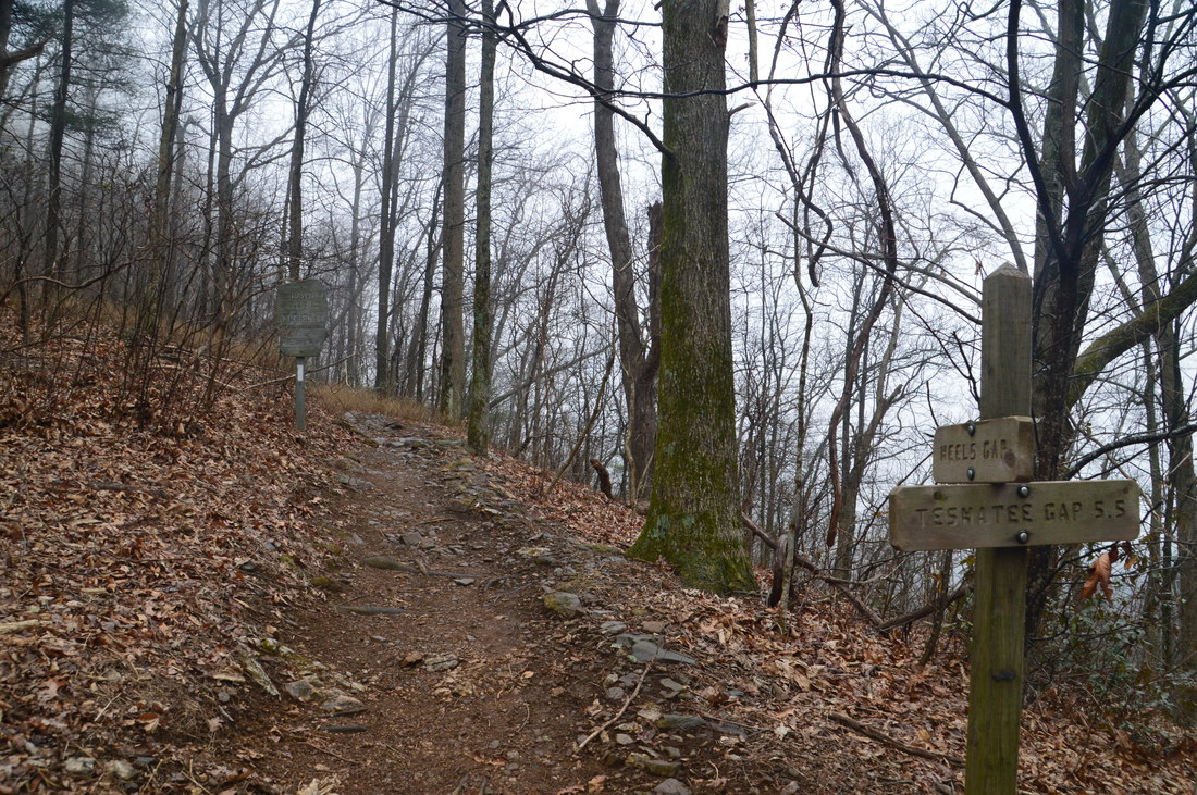
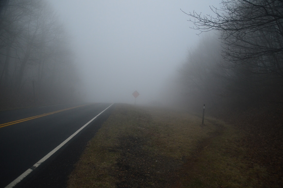
I am now aware of even more vistas on Cowrock Mountain and I will investigate this possibility on a clear day. However, to continue the hike, return to the Appalachian Trail and continue following it in the direction of Tesnatee Gap and Hogpen Gap. The trail begins a moderate to steep descent off Cowrock Mountain. Some switchbacks aid with the descent, but it is steeper than any on the hike so far. At 8.25 miles, the trail passes through a gap and then continues descend along the south side of a knob, passing some areas that were impacted by a low-intensity fire in November 2016. At 8.55 miles, the Appalachian Trail exits the Raven Cliffs Wilderness and reaches the Tesnatee Gap Trailhead at GA Route 348. There is a parking area here. Cross the parking area and pick up the AT, which continues along the same side of the road. The Logan Turnpike Trail leaves to the right and descends into the Town Creek watershed. I hiked the Logan Turnpike Trail in September 2016 from a trailhead that is no longer open to the public. To continue this hike, follow the AT as it begins a difficult climb to Wildcat Mountain. Even though there are switchbacks on the ascent, it is still quite steep, and taking into consideration that this ascent is near the end of the hike, it makes the hike much more difficult as a whole.
The ascent finally comes to a close at a campsite followed by a small vista south into the Town Creek valley at 9.0 miles. The trail reaches the summit of Wildcat Mountain shortly afterwards at 9.1 miles. There is a nice campsite at the summit. Between Tesnatee Gap and the summit of Wildcat Mountain, the trail ascends around 500 feet in just 0.55 miles. After the summit, the AT gradually descends to a gap at 9.15 miles. In the gap, the Appalachian Trail turns left, while the blue-blazed Whitley Gap Trail (Whitley Gap Shelter Trail) continues straight. The trail is 1.2 miles one way to the Whitley Gap Shelter. I am aware of vistas along the Whitley Gap Trail and I had planned to see them on this day until the fog settled in. As it is, I will have to save this trail for another day. To reach Hogpen Gap, turn left on the Appalachian Trail and descend at an easy grade using numerous switchbacks through a forest with a fern-filled understory. At 9.35 miles, reach GA 348. A blue-blazed spur trail to water heads to the right. The trail crosses the road and reaches the Hogpen Gap parking area at 9.4 miles. From here, the Appalachian Trail continues into the Mark Trail Wilderness to Horsetrough Mountain, Chattahoochee Gap, and eventually Unicoi Gap. However, since your second car is located at the Hogpen Gap Trailhead, the hike is concluded here. In clear weather, this hike is truly a "Best Hike", due to the numerous great vistas seen throughout the hike. It is worth hiking to Cowrock Mountain and Levelland Mountain on separate days if shuttling the trail is not an option. Mileage
0.0 - Byron Herbert Reece Trailhead
0.7 - Flatrock Gap 0.8 - Balanced Rock 1.7 - Neels Gap 2.75 - Bull Gap 3.5 - Levelland Mountain North Vista 3.95 - Levelland Mountain South Vista 4.5 - Swaim Gap 5.25 - Rock Spring Top 5.9 - Wolf Laurel Top and Vista 6.5 - Baggs Creek Gap 7.15 - Cowrock Mountain West Vista 7.25 - Cowrock Mountain Summit Vista 7.35 - Cowrock Mountain East Vista 7.45 - Cowrock Mountain South Vista 8.55 - Tesnatee Gap Trailhead 9.1 - Wildcat Mountain Vista 9.4 - Hogpen Gap Trailhead Variations
Hike to both vistas on Levelland Mountain out and back from Byron Herbert Reece Trailhead - 7.4 Miles
Hike to all Cowrock Mountain & Levelland Mountain Vistas out and back from Byron Herbert Reece Trailhead - 14.2 Miles Hike to all Cowrock Mountain Vistas out and back from Tesnatee Gap - 2.4 Miles Bonus Stops
Nearby Helton Creek Falls makes for a great after-hike outing. The waterfall is one of the best easy-to-reach waterfalls in Georgia and is well worth it. On good weekends, it is best to visit this waterfall early in the morning or late in the evening, as it can be crowded - especially in summer.
Pictures
Note: To see pictures of Cowrock Mountain and Wildcat Mountain from clear weather, see the picture gallery at the bottom of my trail report from September 2016.
2 Comments
JEFF SHOTWELL
8/28/2021 01:15:38 pm
Great post. The final vista you speak of at Cowrock is called StoryTime Rock from what I understand. I think it’s the best view in North GA.
T stat
11/28/2021 10:02:16 pm
Can you please detail water sources between Meels gap and Hogpen Gap? Leave a Reply. |
About MeMark Oleg Ozboyd Dear readers: I have invested a tremendous amount of time and effort in this website and the Georgia Waterfalls Database the past five years. All of the work that has gone in keeping these websites updated with my latest trip reports has almost been like a full-time job. This has not allowed me to pick up a paid job to save up money for college, and therefore, I I've had to take out loans. If you find the information on this website interesting, helpful, or time-saving, you can say "thanks" and help me out by clicking the button above and making a contribution. I will be very grateful for any amount of support you give, as all of it will apply toward my college tuition. Thank you!

Coming in 2022-2023?
Other Hiking WebsitesMiles HikedYear 1: 540.0 Miles
Year 2: 552.3 Miles Year 3: 518.4 Miles Year 4: 482.4 Miles Year 5: 259.9 Miles Archives
March 2021
Categories
All
|


 RSS Feed