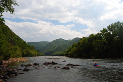
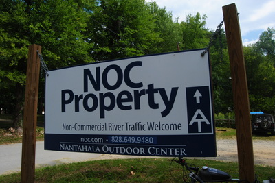
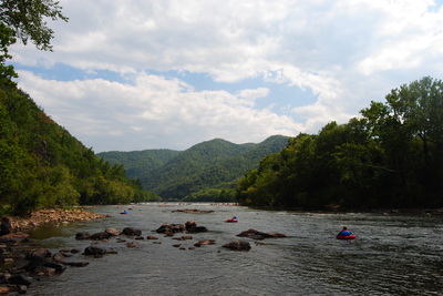
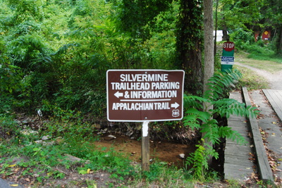
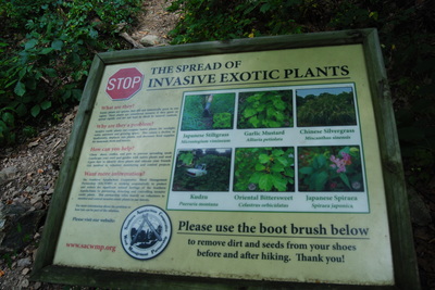
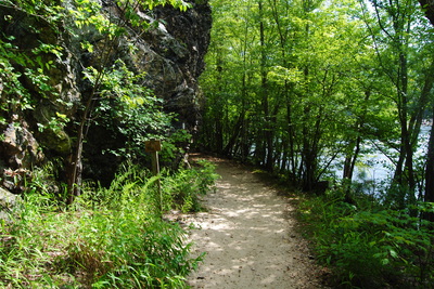
 Hot Springs is a small, tourist town, with a lot of history and legends behind it. It used to be bigger, but following two consecutive hotel fires, the current resort there is much smaller, so there's not as many people as used to come. For hikers like us, though, the main point of Hot Spring is that the AT passes right through the town, and follows the Main Street sidewalk for a mile. On this hike, there will be multiple features of interest - Lovers Leap Overlook, Mill Ridge, and most importantly, Rich Mountain Fire Tower. This hike occurred on August 30, 2014. Start off by following a section of the Appalachian Trail from Silvermine Trailhead to Rich Mountain. You'll return by a much shorter, albeit steeper way down the Roundtop Ridge Trail back into Hot Springs. R/T Length of Trail: 13 Miles Duration of Hike: 8 Hours Type of Hike: Loop with Spur Difficulty Rating: 7 out of 10 Pros: Scenic views, many great campsites, well-defined and easy to navigate route Cons: Lack of water besides at the beginning Best Season(s) to Hike: Year-round - possibly better views in winter Trail Blaze Color(s): Appalachian Trail - White; Roundtop Ridge Trail - White (I thought it's supposed to be blue, but there were very few blazes anyway) Beginning Point: Silvermine Trailhead on Silvermine Road. Park in the NOC parking area or at the visitor information center. Directions: From Hot Springs, NC: From the intersection of US Route 25/70 and NC State Route 290, follow HWY 25/70 East for 0.5 miles, and then turn left onto Silvermine Road. Take the first left to continue following Silvermine Road, and the trailhead is just past the bridge. This is a North Carolina classic. Just make sure to hike this hike in the right direction or you'll have a long, grueling climb in front of you. There's a couple areas to park. You can park at the visitors center, but I assume it's safe to park at the NOC parking area too, because there were no warnings. Once you park, go up the road (away from the bridge) to a sign "Silvermine Trailhead", and turn right onto the Appalachian Trail. You go past what looked like "cabins" and then onto the trail along the river. Near the beginning, there is a sign explaining things about invasive plants, and a footbrush was placed to not spread seeds for the invasive plants. For the first 0.3 miles, the trail followed the French Broad River, with great views to the west as the river flows into the mountains. It's a particularly scenic photo opportunity.
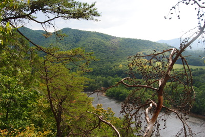
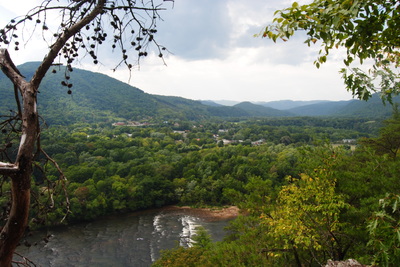
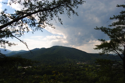
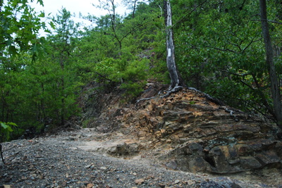
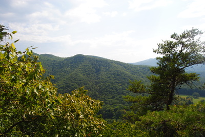
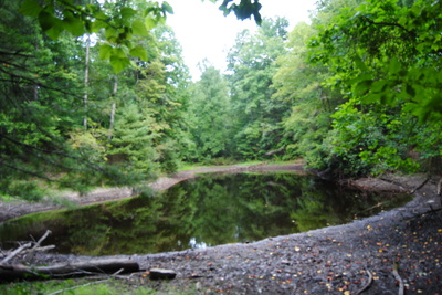
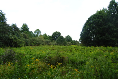
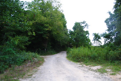
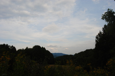
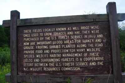
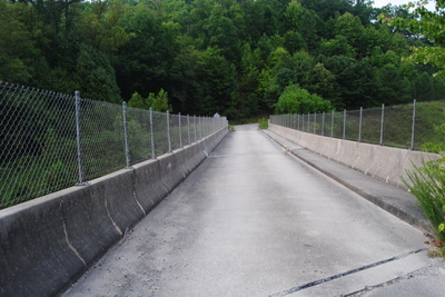
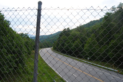
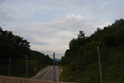
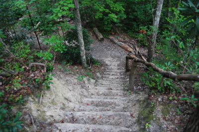
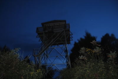
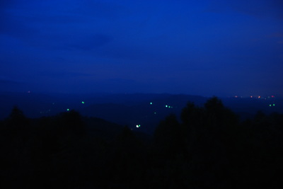
At 0.4 miles, the AT climbs steeply away from the river, followed by a gentler climb with switchbacks. I liked the landscape here. The trail sometimes followed big rock outcrops, and at one point, ascended straight up on one of them. It wasn't hard though. At 0.9 miles, reach Lover's Leap Overlook (at a short spur trail on the right), a peasant view. You can see the town of Hot Springs, as well as Deer Park Mountain rising straight ahead. The AT, southbound from Hot Springs, crosses over the mountain. Meanwhile, the French Broad continues to flow west. The legend says that the name "Lover's Leap" comes from a Cherokee woman who jumped off the cliff after her lover was killed. Also, at this overlook, Lover's leap Trail comes up from the left. Turning left will bring you back to Silvermine Road, so it's a good, short loop hike. After this, the trail continues to ascend at a gentle grade, and at 1.3 miles, reaches a short side trail to another small overlook with more views of the French Broad River. For the next mile, the Appalachian Trail followed the ridgeline, with more ascent than descent, accompanied by several great campsites. Then, at 2.2 miles, it veered left and began a descent into Pump Gap. Reach a campsite and Pump Gap at 2.8 miles. Here, an informational sign was placed, detailing the efforts of Boy Scout Troops to help save the hemlocks from the wooly aldegid. Also, the Pump Gap Loop Trail passes through Pump Gap - turning left is another way to return to Silvermine Road. After this, the AT will follow the contours of the ridges at an easy grade, preceding another meeting with the Pump Gap Loop Trail at a good campsite and an old logging road. Turn left to briefly follow the old road before veering right onto the white-blazed path, continuing to descend. At 4.3 miles, reach an unusual sight for the AT - a small pong formed by a concrete dam. The spring is right behind the pong, but the purpose of the pond isn't clear to me. Regardless, benches for rest are placed around the pond. After this, the trail climbs through a meadow, and reaches a gravel road at 4.5 miles. Turn left onto the road and follow it for a bit to the top of Mill Ridge. here, more meadows are actually old tobacco fields, known as the Mill Ridge Fields, now US Forest Service land. After this, there is a fork in the road - the right fork goes up to the Mill Ridge Trailhead, but the left fork goes downhill toward Tanyard Gap. Go downhill to follow the AT, and almost right away, turn right onto the path at a double blaze. Then, go downhill along the contours of the ridge parallel to the road to reach Tanyard Gap at 5.4 miles. Here, there is a nice bridge over US 25/70. The bridge seems relatively recent, and I suspect only a decade or two back this was a road crossing. From the bridge, there are great views of the surrounding mountains. Once you cross the bridge, turn left to the small parking area and pick up the AT back into the forest. The next 3.5 miles are primarily ascent to Rich Mountain. The trail often seems to follow the grades of an old road (although it is unclear if it really does). The ascent is long but not hard - it is gradual along the slopes so it is never tiring. At around 3 miles you reach the Roundtop Ridge Trail, which is the return route - it is another 0.3 miles of climbing to the Tower Spur Trail. The AT keeps right while the Tower Trail goes forward. The Tower Trail is a little steeper but only 0.2 miles I sumitted Rich Mountain and reached the fire tower well into dusk, so the views weren't very good (although I still got some good pictures from there). However, judging by what I could see, the views didn't seem to be very good. Lots of trees that obscured the near-range, with only distant (although 360 degree) views. The tower itself seems to be falling into disrepair with some wooden planks being in bad shape, and there's lots of graffiti too. Even with all of this, it's a nice place to take a break, although in this particular case, I liked the trail/hike itself more than the destination. Once you've had your fill of the views, return the same way Roundtop Ridge Trail at 9.5 miles. The Roundtop Ridge Trail is entirely descent, sometimes steep. It follows the ridgeline the entire time, with great winter views of Hot Springs in the lower section. Eventually, the trail joins the grade of an old road and exits at the end of Trailhead Drive at 12.5 miles. It's about 0.5 miles of roadwalk back to the trailhead. First follow Trailhead Drive, and then take a left onto River Road. Just before the bridge, continue onto Silvermine Road and reach the parking area. To summarize, this is an excellent hike with great views and good trail quality for the most part. You get to see a lot in a long distance without too much effort, and even with the short roadwalk in the end, it still feels great. I rate this hike a "Best Hike". Below are some pictures.
7 Comments
Hagans
3/12/2015 11:58:06 am
Ran across your blog. Going to be headed to this trail next week. Thanks for such great information. It's very helpful. So cool that you are enjoying hiking and sharing your joys with others. We'll be following.
Reply
Mark Oleg
3/17/2015 02:48:31 pm
Hi Hagans,
Reply
Paul
6/4/2015 01:51:54 am
Good info, thanks. I'm planning to park in Hot Springs for a multi-day hike (will have some things in my vehicle) and wondering which parking area is safest.
Reply
Mark Oleg
6/4/2015 07:59:06 am
I think the Silvermine Trailhead, where I parked, would be the safest. Parking at Tanyard Gap is less reasonable - it's close to a relatively major roadway. The Allen Gap parking north of Rich Mountain may be good too. I don;'t know, because I didn't go that far north.
Reply
Bryana
10/29/2015 06:04:54 pm
Thank you for taking the time to be so accurate with the details of the hike. This blog was very helpful on our hike today!!
Reply
darcie
7/17/2016 08:52:32 pm
do we need a permit to camp in this loop? thanks for all the great info!
Reply
Sheley Revis
3/26/2017 03:35:09 pm
Thanks for the excellent description! I followed someone on this hike before and would like to do it with another group but am trying to find a downloadable Garmin track for this. Would you know where I could find one?
Reply
Leave a Reply. |
About MeMark Oleg Ozboyd Dear readers: I have invested a tremendous amount of time and effort in this website and the Georgia Waterfalls Database the past five years. All of the work that has gone in keeping these websites updated with my latest trip reports has almost been like a full-time job. This has not allowed me to pick up a paid job to save up money for college, and therefore, I I've had to take out loans. If you find the information on this website interesting, helpful, or time-saving, you can say "thanks" and help me out by clicking the button above and making a contribution. I will be very grateful for any amount of support you give, as all of it will apply toward my college tuition. Thank you!
Coming in 2022-2023?
Other Hiking WebsitesMiles HikedYear 1: 540.0 Miles
Year 2: 552.3 Miles Year 3: 518.4 Miles Year 4: 482.4 Miles Year 5: 259.9 Miles Archives
March 2021
Categories
All
|



 RSS Feed